

Village Compostela, Nayarit Municipality of Compostela Banderas Bay Riviera Nayarit
A highway village south of Los Ayala where a 2 km jungle path leads to Punta Raza, an untouched beach with a turtle sanctuary.
From Puerto Vallarta: 1 h by car (74 km by road) How to get there ↓
Near here
See everything nearby ↓


Plan your visit to El Monteón
Where to stay near El Monteón
Compare hotels, posadas and guest houses in El Monteón.
Tours to El Monteón
Day trips and guided outings from Sayulita often include El Monteón; with a local guide you can get there without a car.
 Tours from Sayulita
Yelapa & Secluded Private Beach ALL INCLUSIVE Adventure
★ 4.8 (2,559) · From US$135
How to get to El Monteón
- From Puerto Vallarta: about 1 h by road (~74 km)
- Nearest airport: Puerto Vallarta (PVR), 41 min by car to Sayulita
Links open a partner site. We may earn a commission if you book, at no cost to you.
Tours from Sayulita, near El Monteón


Tours, prices and ratings from Viator, checked weekly. We may earn a commission if you book.
About El Monteón
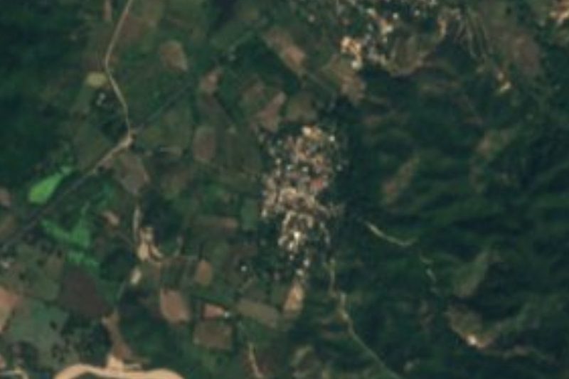
El Monteón, listed in the census simply as Monteón, is a village of 1,825 people (2020) on Highway 200 in the municipality of Compostela, Nayarit, at the southern end of the Jaltemba Bay coast. Los Ayala beach is about 6 km to the north and La Peñita de Jaltemba about 9 km by road. It has grown from a hamlet of 64 people in 1940, and sits only a few meters above sea level at the foot of the hills of this coast.
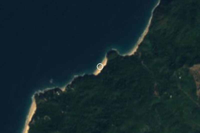
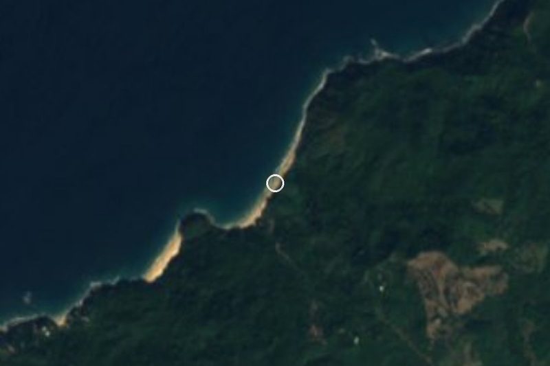
The reason most outsiders come is Punta Raza, a beach halfway between Lo de Marcos and La Peñita that is one of the few untouched stretches of sand left on the Riviera Nayarit. There is no town on it: from El Monteón a narrow path winds about 2 km through the hills, shaded by tall palms and with views over the coast, down to turquoise water and near privacy. The Pacific surf here is strong, with a serious undertow, so it is a beach for walking and listening to the waves rather than swimming. An independent turtle sanctuary on the beach collects and protects olive ridley eggs and released some 4,000 hatchlings in 2016, and from December to March humpback whales can be seen offshore.
The hills and coast around the village are changing. They are part of Mandarina, a private luxury development between rainforest and sea, and Rosewood Mandarina, a resort of suites and villas, gives its address as Highway 200 in El Monteón. More hotels, homes and services are planned around Punta Raza. The village itself remains a simple roadside community, and visitors usually stay in Los Ayala, Rincón de Guayabitos or La Peñita.
How to get to El Monteón
Drive from Puerto Vallarta: 1 h, 74 km
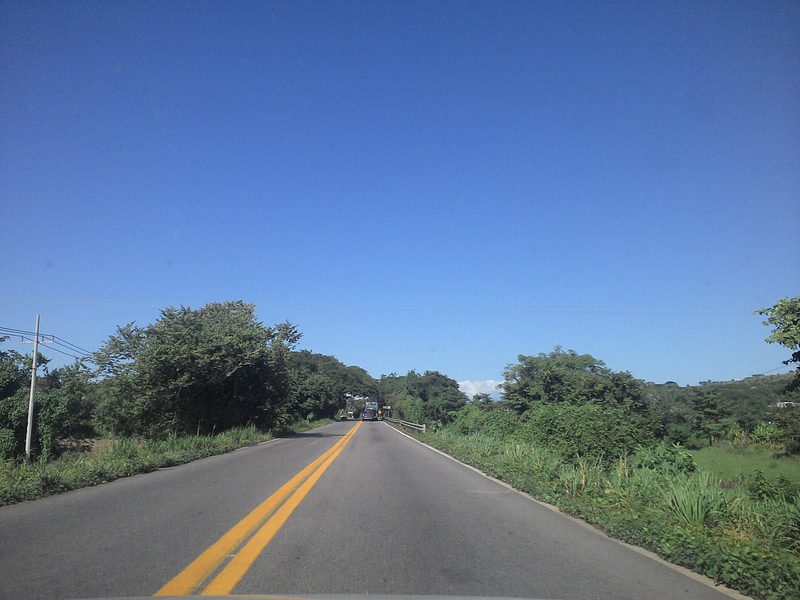
El Monteón is on Highway 200 (Tepic–Puerto Vallarta), about 9 km and 10 minutes south of La Peñita de Jaltemba and 6 km south of Los Ayala; Puerto Vallarta is further south along the same highway. The path to Punta Raza starts in the village and takes you about 2 km on foot to the beach.
Directions to El Monteón on Google Maps
Distances are in a straight line; the road is usually longer.
Links open a partner site. We may earn a commission if you book, at no cost to you.
From the nearest cities to El Monteón
- Puerto Vallarta · 74 km by road, 1 h
- Tepic · 102 km by road, 1 h 30 min
- Guadalajara · 245 km by road, 3 h
Drive times by road from OpenStreetMap, without traffic or stops. Times marked ~ are estimated from the straight-line distance.
Before you go to El Monteón: hours, prices and tips
- Time needed
- The path from El Monteón to Punta Raza is about 2 km each way through the hills, partly shaded by palms. Riviera Nayarit · checked Oct 2026
- Best season
- The Punta Raza turtle camp protects olive ridley eggs; the Riviera Nayarit turtle season runs from about June to February. PV Angels · checked Oct 2026
- Rules
- The surf at Punta Raza is strong with a notable undertow; it is a beach for walking, not swimming. Riviera Nayarit · checked Oct 2026
Hours and prices change, especially around holidays. Each fact links to where we checked it.
Visiting El Monteón: what to see and do
Hike the 2 km path through the hills from the village to Punta Raza beach.
Walk the empty sand at Punta Raza and listen to the surf, but stay out of the water.
Look for humpback whales offshore between December and March.
Learn about the beach's independent sea-turtle sanctuary and its olive ridley nests.
Swim at the calmer beaches of Los Ayala and Rincón de Guayabitos, a few minutes north.
Plan your trip
Places to stay in El Monteón
Compare hotels, posadas, and rentals in and around El Monteón.
Tours & activities
Day trips and guided outings from Sayulita often include El Monteón; with a local guide you can get there without a car.
Rental cars
Pick up a car at PVR (Puerto Vallarta): about 41 min by road to Sayulita, then 20 km more to El Monteón, on your own schedule.
Flights
The nearest airport with scheduled flights is Puerto Vallarta (PVR), about 41 min by road from Sayulita, the base for El Monteón.
Mobile data
Signal can drop away from Sayulita: download a map of the way to El Monteón before you set out, or carry an eSIM with data.
Links open a partner site. We may earn a commission if you book, at no cost to you.
When to go to El Monteón warm
El Monteón shares the climate of Sayulita, 20 km away. The best months to visit are March, April, May, and November.
See the month-by-month climate of Sayulita
Weather in El Monteón now and the next 7 days
Live forecast from Open-Meteo. Chance of rain is the day's highest.
The closest Pueblo Mágico: Sayulita

Sayulita is the Pueblo Mágico closest to El Monteón, with places to stay, food, and more to see.
Also close to
- Compostela · Nayarit · 50 km away
- San Blas · Nayarit · 61 km away
- Mascota · Jalisco · 74 km away
Closest to El Monteón
-
Chula Vista · Village · 3 km away
-
Los Ayala · Village · 4 km away
-
Playa Punta Raza · Beach · 4 km away
-
Playa del Beso · Beach · 4 km away
-
Villa Morelos · Village · 4 km away
-
Playa del Toro · Beach · 5 km away
-
Rincón de Guayabitos · Town · 5 km away
-
Isla Cangrejito · Island · 6 km away


Near El Monteón





Drive times by road from OpenStreetMap, without traffic. Times marked ~ are estimated from the straight-line distance.
Location from OpenStreetMap. Written by Puebloteca.