


Landmark Puerto Vallarta, Jalisco Municipality of Puerto Vallarta Banderas Bay
The old farming town swallowed by Puerto Vallarta, with a twin-towered church, a bandstand plaza and the evening taco stands that food tours come for.
From Tepic: 2 h 20 min by car (172 km by road) How to get there ↓
Near here
See everything nearby ↓


Plan your visit to El Pitillal
Where to stay near El Pitillal
Compare hotels, posadas and guest houses in El Pitillal.
Tours to El Pitillal
Look for tours of the area around Sayulita that stop at El Pitillal.
 Private Puerto Vallarta City Tour with Certified Local Guide
★ 5.0 (1) · From US$99
How to get to El Pitillal
- From Tepic: about 2 h 20 min by road (~172 km)
- Nearest airport: Puerto Vallarta (PVR), 41 min by car to Sayulita
Links open a partner site. We may earn a commission if you book, at no cost to you.
Popular tours to El Pitillal
Tours, prices and ratings from Viator, checked weekly. We may earn a commission if you book.
About El Pitillal
El Pitillal is a traditional neighbourhood of Puerto Vallarta, about 5 km northeast of downtown on the Río Pitillal, and the place to see everyday Vallarta away from the beaches. It began as a separate village: it counts its founding from September 15, 1872, when Exiquio Corona settled at what is now the corner of Emiliano Zapata and 5 de Septiembre streets. Its name means "place of pitillos", the plants that grew on the river's sandbanks. The village lived from farming on the lands of its ejidos, such as El Coapinole, and grew so fast in the late 20th century that it merged into the city; today it is a municipal delegación (sub-district) of Puerto Vallarta. Around 1989-91 some residents even campaigned for Pitillal to become its own municipality with Ixtapa, Las Juntas and Las Palmas; the idea went nowhere, but the coat of arms designed for it can still be seen in a stained-glass window at the delegación offices.
The heart of it is the plaza, with a bandstand and a monument to the Niños Héroes, facing the twin-towered Parroquia de San Miguel Arcángel, built of brick and dark stone. In the evenings the plaza and the streets around it fill with families and with stands selling tacos, churros and other antojitos, which is why several of Vallarta's most popular food tours, including evening taco tours, are based here. Colourful PITILLAL letters stand at the neighbourhood's entrance, between the two bridges at the end of Avenida Francisco Villa, next to the riverside linear park.
The biggest days are the fiestas patronales of San Miguel Arcángel at the end of September, with mañanitas, a cabalgata, a dance and, on September 29, processions of charros, escaramuzas on horseback and the local ejidos before a large open-air Mass; in 2025 the bishop of Tepic came to lead it. The Fiestas Patrias around September 15 are celebrated in the plaza too, together with the anniversary of the founding.
How to get to El Pitillal
Drive from Tepic: 2 h 20 min, 172 km
El Pitillal is inland, northeast of the hotel zone, reached from Avenida Francisco Medina Ascencio along Avenida Francisco Villa. City buses marked "Pitillal" run frequently from downtown and the hotel strip; a taxi from downtown is a short ride.
Directions to El Pitillal on Google Maps
Distances are in a straight line; the road is usually longer.
Links open a partner site. We may earn a commission if you book, at no cost to you.
From the nearest cities to El Pitillal
- Tepic · 172 km by road, 2 h 20 min
- Autlán · about 170 km by road, ~2 h 30 min
- Manzanillo · 287 km by road, 3 h 50 min
Drive times by road from OpenStreetMap, without traffic or stops. Times marked ~ are estimated from the straight-line distance.
Before you go to El Pitillal: hours, prices and tips
- Best time of day
- Evenings, when locals gather in the main plaza near the church and the taco stands, churro stands and traditional diners open. Visit Puerto Vallarta (tourism board) · checked Oct 2026
- Best season
- Fiestas patronales of San Miguel Arcángel at the end of September, peaking on September 29 with processions of charros and escaramuzas and a big Mass at noon. Tribuna de la Bahía · checked Oct 2026
- Guide or tour
- You can wander the plaza on your own; several operators run guided evening taco and food tours of Pitillal. Tours: Viator GetYourGuide GetYourGuide · checked Oct 2026
Hours and prices change, especially around holidays. Each fact links to where we checked it.
Visiting El Pitillal: what to see and do
Sit in the plaza by the bandstand and look up at the twin towers of San Miguel Arcángel.
Come after dark for tacos, churros and antojitos from the stands around the plaza.
Join an evening taco or food tour of the neighbourhood.
Walk the linear park along the Río Pitillal.
Visit at the end of September for the San Miguel Arcángel fiestas, with charros and processions.
Plan your trip
Places to stay in El Pitillal
Compare hotels, posadas, and rentals in and around El Pitillal.
Tours & activities
Look for tours of the area around Sayulita that stop at El Pitillal.
Rental cars
Pick up a car at PVR (Puerto Vallarta): about 41 min by road to Sayulita, then 33 km more to El Pitillal, on your own schedule.
Flights
The nearest airport with scheduled flights is Puerto Vallarta (PVR), about 41 min by road from Sayulita, the base for El Pitillal.
Mobile data
Signal can drop away from Sayulita: download a map of the way to El Pitillal before you set out, or carry an eSIM with data.
Links open a partner site. We may earn a commission if you book, at no cost to you.
Photos
When to go to El Pitillal warm
El Pitillal shares the climate of Sayulita, 33 km away. The best months to visit are March, April, May, and November.
See the month-by-month climate of Sayulita
Weather in El Pitillal now and the next 7 days
Live forecast from Open-Meteo. Chance of rain is the day's highest.
The closest Pueblo Mágico: Sayulita

Sayulita is the Pueblo Mágico closest to El Pitillal, with places to stay, food, and more to see.
Also close to
- Mascota · Jalisco · 47 km away
- Talpa de Allende · Jalisco · 51 km away
- San Sebastián del Oeste · Jalisco · 66 km away
- Compostela · Nayarit · 73 km away
Closest to El Pitillal
-
Puerto Vallarta · City · 1 km away
-
Playa Los Tules · Beach · 2 km away
-
Terminal Marítima de Puerto Vallarta · Landmark · 2 km away
-
Estero El Salado · Nature reserve · 3 km away
-
Playa Las Glorias · Beach · 3 km away
-
Playa de Oro · Beach · 3 km away
-
Marina Vallarta · Landmark · 4 km away
-
Mariposario Jardín Mágico · Landmark · 4 km away

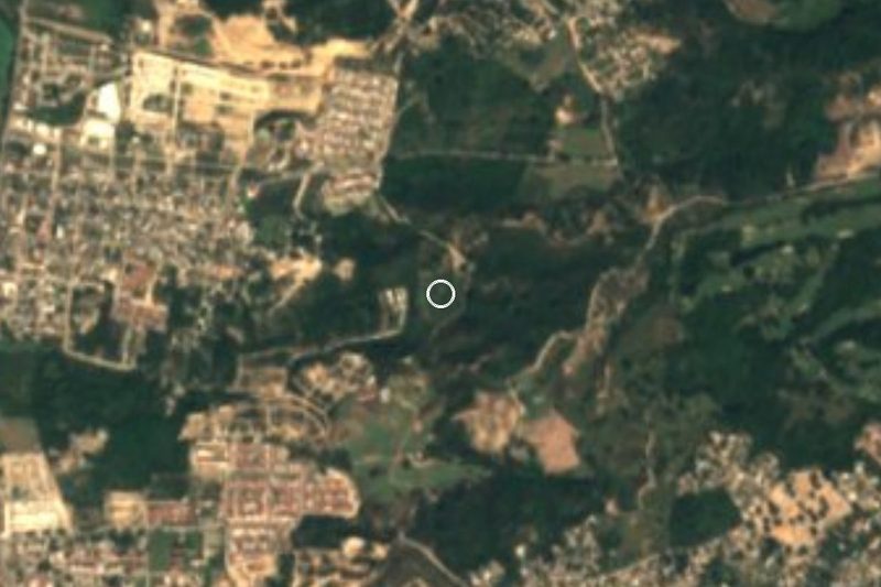
Near El Pitillal


Drive times by road from OpenStreetMap, without traffic. Times marked ~ are estimated from the straight-line distance.
Location from OpenStreetMap. Written by Puebloteca.