


Town Sotuta, Yucatán Yucatán's cenote route Henequen Zone
The old capital of the Cocom lords in central Yucatán: a 16th-century church, Nachi Cocom's memory, small caves and cenotes, and adventure ranches nearby.
From Mérida: 1 h 30 min by car (86 km by road) How to get there ↓
Near here
See everything nearby ↓


Plan your visit to Sotuta
Where to stay near Sotuta
Compare hotels, posadas and guest houses in Sotuta.
Tours to Sotuta
Day trips around Izamal sometimes stop in Sotuta; a tour is the easy way to see it without a car.
 3 Hour Tour in The Sotuta de Peón Live Museum
★ 4.6 (84) · From US$55
How to get to Sotuta
- From Mérida: about 1 h 30 min by road (~86 km)
- Nearest airport: Mérida (MID), 1 h 10 min by car to Izamal
Links open a partner site. We may earn a commission if you book, at no cost to you.
Popular tours to Sotuta


Tours, prices and ratings from Viator, checked weekly. We may earn a commission if you book.
About Sotuta
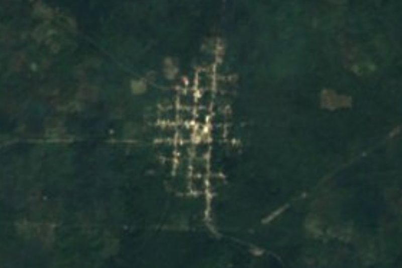
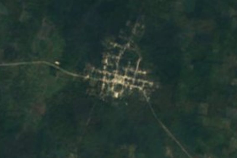
Sotuta is a town of about 5,800 people (2020 census) in central Yucatán, the seat of the municipality of the same name, about 75 km southeast of Mérida as the crow flies and roughly 100 km by road. Its Maya name is usually translated as "water that turns around".
Before the conquest Sotuta was the capital of a Maya province ruled by the Cocom lineage, and its halach uinik, Nachi Cocom, is remembered for fiercely resisting the Spanish conquest of Yucatán. After the conquest the town was given in encomienda; after independence it grew and in 1825 became the head of the Beneficios Bajos district. The 16th-century church of San Pedro Apóstol dominates the centre, and there is an 18th-century chapel at the hermitage of Santa Cruz. On the Parque Nachi Cocom stands a monument to the old ruler and the building locals call his castle, the Cuartel General Pedro Sáenz de Baranda, now a cultural centre; another old house is said to have been his palace.
Around town there is more to do than most visitors expect. The Grutas de Sotuta are a cave about 60 metres long with stalactites and stalagmites, visited with a local guide; Cenote del Gato is a small closed cenote on a family property, and Cenote Zutut'Ha, nearby, is an open cenote with sheer stone walls. The ruined Hacienda Xiat can be explored, and on the former Rancho San Gerónimo a private outfit runs a seven-cenote route with an 18-metre jump named after Nachi Cocom. The town's big fiestas are for the Virgen de la Natividad (4–8 September) and the Virgen de Guadalupe (3–12 December), with vaquerías and jarana dancing.
How to get to Sotuta
Drive from Mérida: 1 h 30 min, 86 km
From Mérida, take the highway toward Cancún and turn off at Holcá, then follow the Holcá–Sotuta road south; it's about 100 km. From Izamal, Sotuta is about 54 km away: take Highway 53 to the Cancún highway, continue via Kantunil on the free road to Holcá and then south. Homún and Cuzamá, with their cenotes, are to the west.
Directions to Sotuta on Google Maps
Distances are in a straight line; the road is usually longer.
Links open a partner site. We may earn a commission if you book, at no cost to you.
From the nearest cities to Sotuta
- Mérida · 86 km by road, 1 h 30 min
- Valladolid · 107 km by road, 1 h 45 min
- Tizimín · 147 km by road, 2 h 25 min
Drive times by road from OpenStreetMap, without traffic or stops. Times marked ~ are estimated from the straight-line distance.
Before you go to Sotuta: hours, prices and tips
- Entry
- Grutas de Sotuta: 150 pesos per person with a guide; Cenote del Gato about 50 pesos. México Desconocido · checked Oct 2026
- Best season
- Fiestas for the Virgen de la Natividad (4–8 September), the Virgen de Guadalupe (3–12 December) and San Ildefonso (23 December); Hanal Pixán home altars at the start of November. Wikipedia (es) · checked Oct 2026
- Guide or tour
- The caves are visited with a local guide; the seven-cenote route on the former Rancho San Gerónimo is a private small-group tour (5–10 people) that must be booked. Tours: Viator GetYourGuide El Universal · checked Oct 2026
Hours and prices change, especially around holidays. Each fact links to where we checked it.
Visiting Sotuta: what to see and do
See the 16th-century church of San Pedro Apóstol and the Santa Cruz hermitage chapel.
Visit the Parque Nachi Cocom, its monument and the so-called castle of Nachi Cocom, now a cultural centre.
Tour the 60-metre Grutas de Sotuta with a local guide.
Swim in Cenote del Gato or Cenote Zutut'Ha.
Book the seven-cenote route on the former Rancho San Gerónimo, with the Nachi Cocom jump.
Come for the September or December fiestas, with vaquerías and jarana.
Plan your trip
Places to stay in Sotuta
Compare hotels, posadas, and rentals in and around Sotuta.
Tours & activities
Day trips around Izamal sometimes stop in Sotuta; a tour is the easy way to see it without a car.
Rental cars
Pick up a car at MID (Mérida): about 1 h 10 min by road to Izamal, then 37 km more to Sotuta, on your own schedule.
Flights
The nearest airport with scheduled flights is Mérida (MID), about 1 h 10 min by road from Izamal, the base for Sotuta.
Mobile data
Signal can drop away from Izamal: download a map of the way to Sotuta before you set out, or carry an eSIM with data.
Links open a partner site. We may earn a commission if you book, at no cost to you.
Photos
When to go to Sotuta warm
Sotuta shares the climate of Izamal, 37 km away. The best months to visit are January, February, November, and December.
See the month-by-month climate of Izamal
Weather in Sotuta now and the next 7 days
Live forecast from Open-Meteo. Chance of rain is the day's highest.
The closest Pueblo Mágico: Izamal

Izamal is the Pueblo Mágico closest to Sotuta, with places to stay, food, and more to see.
Also close to
Closest to Sotuta
-
Hacienda Kampepén · Landmark · 30 km away
-
Cenote Yaxbacaltún · Cenote · 31 km away
-
Cenote Yokdzonot · Cenote · 31 km away
-
Cenotes de Homún · Cenote · 33 km away
-
Cenote Pool Uinic · Cenote · 34 km away
-
Cenotes Santa Bárbara · Cenote · 34 km away
-
Tekit · Town · 34 km away
-
Cenotes de Cuzamá · Cenote · 35 km away


Near Sotuta




Drive times by road from OpenStreetMap, without traffic. Times marked ~ are estimated from the straight-line distance.
Location from OpenStreetMap. Written by Puebloteca.