

Town Zapopan, Jalisco Municipality of Zapopan
Large residential area in northwest Zapopan, nearly 40,000 people, with four mills, parks and several routes to central Zapopan.
From Guadalajara: 35 min by car (31 km by road) How to get there ↓
Near here
See everything nearby ↓


Plan your visit to Valle de los Molinos
Where to stay near Valle de los Molinos
Compare hotels, posadas and guest houses in Valle de los Molinos.
Tours to Valle de los Molinos
Day trips around Tlaquepaque sometimes stop in Valle de los Molinos; a tour is the easy way to see it without a car.
 Tours from Guadalajara
Full Day Tour to Tequila and Amatitán with Fun and Culture
★ 4.9 (751) · From US$44
How to get to Valle de los Molinos
- From Guadalajara: about 35 min by road (~31 km)
- Nearest airport: Guadalajara (GDL), 26 min by car to Tlaquepaque
Links open a partner site. We may earn a commission if you book, at no cost to you.
Tours from Guadalajara, near Valle de los Molinos


Tours, prices and ratings from Viator, checked weekly. We may earn a commission if you book.
About Valle de los Molinos
Valle de los Molinos is a residential area in northwest Zapopan, about 10 km inside the Zapopan-Colotlán highway, at around 1,600 metres above sea level. At the 2020 census it had 39,327 people and it is one of the largest colonias in the Guadalajara metropolitan area. Social-interest housing, wide avenues and parks predominate, and it has schools, plazas, a sports complex and a cultural centre.
The name comes from the four mills inside the colonia, one of which is the most recognisable feature of the place. It is not a tourist destination as such: what it offers is the everyday life of a housing development on the metropolitan north side, with its parks and plazas, and the rural landscape around it, still visible between the new blocks.
The climate is subtropical monsoon, cooler than the rest of the metropolitan area. May is the hottest month, with highs up to 37 degrees; December and January are the coldest, with average lows near 5 degrees and some nights at 2. Rain falls mostly between June and September.
How to get to Valle de los Molinos
Drive from Guadalajara: 35 min, 31 km
Valle de los Molinos is in northwest Zapopan, about 10 km inside the Zapopan-Colotlán highway. Several public routes serve it: route 163 goes to downtown Guadalajara; Sitren (Line 4) and Exprés Zapopan reach central Zapopan (Plaza Patria); the 632-B heads toward Avenida Vallarta and Patria; the A-10 reaches Calzada Independencia and the C-117 goes to Alcalde or Tránsito. Sitren connects with Periférico at Terraza Belenes, at Periférico and Juan Pablo II. Routes change often, so check Mi Transporte before going. There is no direct intercity bus: from the Nueva Central Camionera the simplest approach is to get to Zapopan by Tren Ligero or bus and take one of these routes from there.
Directions to Valle de los Molinos on Google Maps
Distances are in a straight line; the road is usually longer.
Links open a partner site. We may earn a commission if you book, at no cost to you.
From the nearest cities to Valle de los Molinos
- Guadalajara · 31 km by road, 35 min
- Tepatitlán · 107 km by road, 1 h 30 min
- Ocotlán · 115 km by road, 1 h 35 min
Drive times by road from OpenStreetMap, without traffic or stops. Times marked ~ are estimated from the straight-line distance.
Before you go to Valle de los Molinos: hours, prices and tips
- Best season
- Rain is concentrated from June to September; May is the hottest month and December-January the coldest. Wikipedia · checked Oct 2026
Hours and prices change, especially around holidays. Each fact links to where we checked it.
Visiting Valle de los Molinos: what to see and do
See one of the four mills that give the colonia its name.
Walk the parks and plazas of the development.
Visit the cultural centre and the sports complex.
Take in the rural landscape that still surrounds the new blocks.
Plan your trip
Places to stay in Valle de los Molinos
Compare hotels, posadas, and rentals in and around Valle de los Molinos.
Tours & activities
Day trips around Tlaquepaque sometimes stop in Valle de los Molinos; a tour is the easy way to see it without a car.
Rental cars
Pick up a car at GDL (Guadalajara): about 26 min by road to Tlaquepaque, then 26 km more to Valle de los Molinos, on your own schedule.
Flights
The nearest airport with scheduled flights is Guadalajara (GDL), about 26 min by road from Tlaquepaque, the base for Valle de los Molinos.
Mobile data
Signal can drop away from Tlaquepaque: download a map of the way to Valle de los Molinos before you set out, or carry an eSIM with data.
Links open a partner site. We may earn a commission if you book, at no cost to you.
When to go to Valle de los Molinos mild
Valle de los Molinos shares the climate of Tlaquepaque, 26 km away. The best months to visit are January, March, November, and December.
See the month-by-month climate of Tlaquepaque
Weather in Valle de los Molinos now and the next 7 days
Live forecast from Open-Meteo. Chance of rain is the day's highest.
The closest Pueblo Mágico: Tlaquepaque

Tlaquepaque is the Pueblo Mágico closest to Valle de los Molinos, with places to stay, food, and more to see.
Also close to
- Tequila · Jalisco · 43 km away
- Ajijic · Jalisco · 64 km away
- Cocula · Jalisco · 68 km away
- Teúl de González Ortega · Zacatecas · 68 km away
Closest to Valle de los Molinos
-
Tesistán · Town · 8 km away
-
San Francisco de Ixcatán · Village · 9 km away
-
Nextipac · Village · 14 km away
-
Barranca de Huentitán · Nature reserve · 17 km away
-
Parque Mirador Independencia · Viewpoint · 17 km away
-
Parque Alcalde · Nature reserve · 19 km away
-
Parque Metropolitano de Guadalajara · Nature reserve · 20 km away
-
Colonia Americana · Landmark · 21 km away


Near Valle de los Molinos


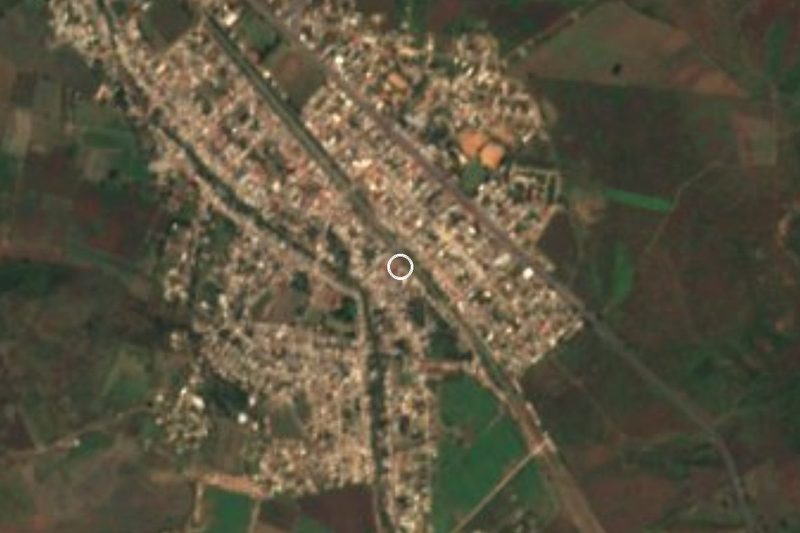


Drive times by road from OpenStreetMap, without traffic. Times marked ~ are estimated from the straight-line distance.
Location from OpenStreetMap. Written by Puebloteca.