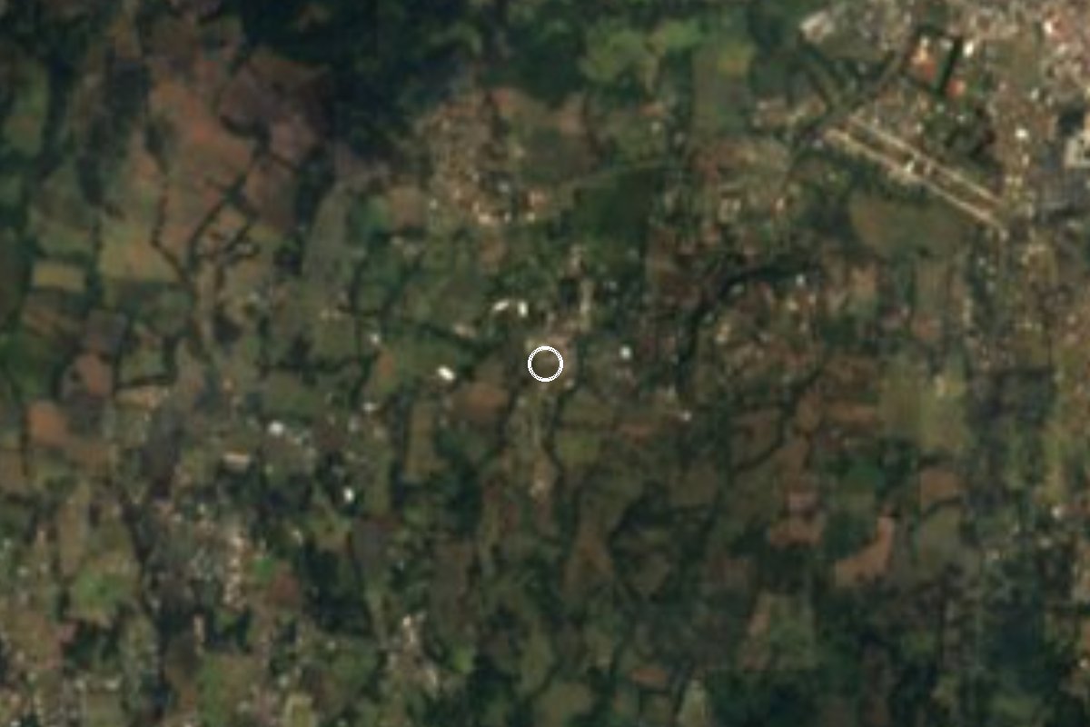
Village Huitzilac, Morelos Municipality of Huitzilac Monasteries on the slopes of Popocatépetl Northern Morelos
Hamlet in Huitzilac at 2,758 m, 2 km from Tres Marías; 283 residents in 2020, with a cool highland climate and mountain forest nearby.
From Cuernavaca: 25 min by car (18 km by road) How to get there ↓
Near here
See everything nearby ↓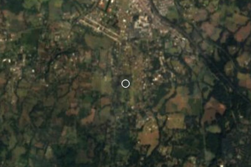



Plan your visit to Los Olivos
Where to stay near Los Olivos
Compare hotels, posadas and guest houses in Los Olivos.
Tours to Los Olivos
Day trips and guided outings from Tepoztlán often include Los Olivos; with a local guide you can get there without a car.
 Tours from Cuernavaca
3hr Cooking Class in Cuernavaca 8 Recipes and Bottomless Drinks
From US$59
How to get to Los Olivos
- From Cuernavaca: about 25 min by road (~18 km)
- Nearest airport: Mexico City (MEX), 1 h 25 min by car to Tepoztlán
Links open a partner site. We may earn a commission if you book, at no cost to you.
Tours from Cuernavaca, near Los Olivos


Tours, prices and ratings from Viator, checked weekly. We may earn a commission if you book.
About Los Olivos
At 2,758 metres on the wooded slopes of northern Morelos, Los Olivos is a small settlement that has been adding houses quickly: 48 residents in 2005, 109 in 2010 and 283 in 2020, in about 85 homes. It lies roughly 2 km from the municipal seat, Huitzilac, and from Tres Marías, the municipality's largest locality, with more than 7,500 people. The climate is cool highland: the annual mean is near 12 °C, January is coldest (about 9.4 °C), rainfall adds up to around 1,235 mm and September is the wettest month. A minimum of -2.7 °C has been recorded, so nights are chilly even in spring.
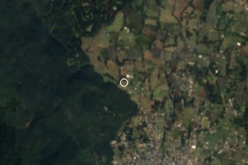
Huitzilac has always been a gateway into Morelos: the colonial royal road between Mexico City and Cuernavaca ran through its land, and today the federal road and the Autopista del Sol do the same. A cinder cone, Volcán Tezontle (2,945 m), stands 1.5 km to the north, with Mesa La Gloria (3,012 m) and the peaks Tres Marías (3,195 m) and Tres Cruces (3,280 m) a few kilometres beyond. The municipality's main tourist draw is the Lagunas de Zempoala National Park, with lakes, forest and camping areas.
The village itself has no lodging or formal sights. Its neighbours are small hamlets: Zacapexco and Valle de los Soles half a kilometre away, plus Chichicuatitla, Paraje Tezontle and San Rafael (Tepetlixpa). It makes a base for people who want cool air and forest tracks.
How to get to Los Olivos
Drive from Cuernavaca: 25 min, 18 km
Los Olivos sits on the northern slopes of Morelos, about 2 km from Tres Marías and from Huitzilac, about 14 km in a straight line from Cuernavaca and roughly 24 to 28 km from Tepoztlán. From Mexico City take the Mexico City–Cuernavaca highway (the Autopista del Sol, a toll road) or the federal road; both cross Huitzilac municipality. By car it is about one and a half to two hours from Mexico City, depending on traffic. From Cuernavaca it is a climb north of roughly 25 to 35 minutes on the federal road; from Tepoztlán about 24 to 28 minutes by car, according to Pueblos de América.
By public transport, the simplest way is to take a bus to Cuernavaca from Terminal Sur Taxqueña and get off at Tres Marías or Huitzilac, both on the federal road. We found no documented line to Los Olivos itself; from Tres Marías or Huitzilac continue by taxi or on foot, about 2 km. The Huitzilac–Zempoala road, built in 1935, leads to the lagoons. Carry cash: there are no services in the hamlet.
Directions to Los Olivos on Google Maps
Distances are in a straight line; the road is usually longer.
Links open a partner site. We may earn a commission if you book, at no cost to you.
From the nearest cities to Los Olivos
- Cuernavaca · 18 km by road, 25 min
- Cuautla · 57 km by road, 50 min
- Mexico City · 56 km by road, 55 min
Drive times by road from OpenStreetMap, without traffic or stops. Times marked ~ are estimated from the straight-line distance.
Before you go to Los Olivos: hours, prices and tips
- Best season
- Cool highland climate: annual mean about 12.1 °C, around 1,235 mm of rain, wettest in September; frosts are possible in winter. Pueblos de América · checked Oct 2026
Hours and prices change, especially around holidays. Each fact links to where we checked it.
Visiting Los Olivos: what to see and do
Walk toward Volcán Tezontle (2,945 m), 1.5 km north, along forest tracks.
Visit Tres Marías, 2 km away, and its feast of San José on 19 March.
Go up to Huitzilac to see the church of San Juan Bautista, finished in 1690.
Camp or stroll at the Lagunas de Zempoala, the municipality's national park.
Follow the area of the old royal road between Mexico City and Cuernavaca.
Bring a warm layer: winter nights can drop below freezing.
Plan your trip
Places to stay in Los Olivos
Compare hotels, posadas, and rentals in and around Los Olivos.
Tours & activities
Day trips and guided outings from Tepoztlán often include Los Olivos; with a local guide you can get there without a car.
Rental cars
Pick up a car at MEX (Mexico City): about 1 h 25 min by road to Tepoztlán, then 18 km more to Los Olivos, on your own schedule.
Flights
The nearest airport with scheduled flights is Mexico City (MEX), about 1 h 25 min by road from Tepoztlán, the base for Los Olivos.
Mobile data
Signal can drop away from Tepoztlán: download a map of the way to Los Olivos before you set out, or carry an eSIM with data.
Links open a partner site. We may earn a commission if you book, at no cost to you.
When to go to Los Olivos mild
Los Olivos shares the climate of Tepoztlán, 18 km away. The best months to visit are January, February, March, and December.
See the month-by-month climate of Tepoztlán
Weather in Los Olivos now and the next 7 days
Live forecast from Open-Meteo. Chance of rain is the day's highest.
The closest Pueblo Mágico: Tepoztlán

Tepoztlán is the Pueblo Mágico closest to Los Olivos, with places to stay, food, and more to see.
Also close to
- Xochitepec · Morelos · 28 km away
- Malinalco · Estado de México · 28 km away
- Tlayacapan · Morelos · 31 km away
- Tlaltizapán · Morelos · 41 km away
- Metepec · Estado de México · 43 km away
Closest to Los Olivos
-
Corredor Biológico Chichinautzin · Nature reserve · 1 km away
-
Huitzilac · Village · 2 km away
-
Tlacotepec · Village · 2 km away
-
Tres Marías · Village · 2 km away
-
Coajomulco · Village · 5 km away
-
Fierro del Toro · Village · 6 km away
-
Lagunas de Zempoala · Lake · 7 km away
-
Chamilpa · Village · 8 km away


Near Los Olivos


Drive times by road from OpenStreetMap, without traffic. Times marked ~ are estimated from the straight-line distance.
Location from OpenStreetMap. Written by Puebloteca.