Village Huitzilac, Morelos Municipality of Huitzilac Monasteries on the slopes of Popocatépetl Northern Morelos
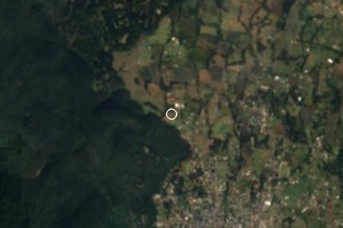
Hamlet in Huitzilac at 2,645 m, next to Tres Marías, in the cold forest of the sierra between Cuernavaca and Mexico City.
From Cuernavaca: 25 min by car (17 km by road) How to get there ↓
Near here
See everything nearby ↓


Plan your visit to Tlacotepec
Where to stay near Tlacotepec
Compare hotels, posadas and guest houses in Tlacotepec.
Tours to Tlacotepec
Day trips and guided outings from Tepoztlán often include Tlacotepec; with a local guide you can get there without a car.
How to get to Tlacotepec
- From Cuernavaca: about 25 min by road (~17 km)
- Nearest airport: Mexico City (MEX), 1 h 25 min by car to Tepoztlán
Links open a partner site. We may earn a commission if you book, at no cost to you.
About Tlacotepec
Tlacotepec, in the municipality of Huitzilac, lies in the far northwest corner of Morelos, close to the Mexico City boundary, at 2,645 m above sea level. It is one of the municipality's 71 localities and the 16th by population: INEGI counted 224 residents in 2020, nearly double the 117 of 2010. It is not the same as the Tlacotepec in Zacualpan de Amilpas municipality, in the east of the state.
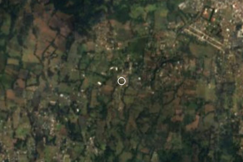
At this height the climate is cool mountain weather: the average annual temperature is about 12.8 °C and roughly 1,231 mm of rain falls each year, spread over many cloudy or wet days, so bring a jacket in any season. It sits only 1.2 km northwest of Tres Marías, the municipality's biggest locality (7,523 people in 2020), and about 3.7 km southwest of Huitzilac, the seat.
Huitzilac is described as the gateway to Morelos from the Valley of Mexico, on the old royal road linking the capital with Cuernavaca, and its Nahuatl name is usually glossed as "in the water of the hummingbirds". The municipality also holds the Lagunas de Zempoala National Park, with lakes, forest and camping areas. Tlacotepec itself is a place of rural life with no documented hotels or sights of its own, and works best as a starting point for exploring this sierra.
How to get to Tlacotepec
Drive from Cuernavaca: 25 min, 17 km
Tlacotepec is right beside Tres Marías, which lies on the old Mexico-Cuernavaca highway (federal 95) and the Mexico-Cuernavaca toll road (95D), at the Morelos-Mexico City boundary. By car, leave Tres Marías and go 1.2 km northwest; the last stretch is local streets and tracks. Huitzilac, the municipal seat, is about 3.7 km to the northeast. Cuernavaca is about 14 km in a straight line, and by road allow about 30 to 40 minutes for the climb up the sierra; from Mexico City (Terminal Sur, Taxqueña) the drive on the 95 or 95D to Tres Marías takes roughly an hour and a half depending on traffic. The sources We found do not document a bus or colectivo line to Tlacotepec itself: the safest way is to get off at Tres Marías from any bus or van running on the highway and cover the last stretch on foot or by taxi.
Directions to Tlacotepec on Google Maps
Distances are in a straight line; the road is usually longer.
Links open a partner site. We may earn a commission if you book, at no cost to you.
From the nearest cities to Tlacotepec
- Cuernavaca · 17 km by road, 25 min
- Cuautla · 58 km by road, 50 min
- Mexico City · 60 km by road, 1 h
Drive times by road from OpenStreetMap, without traffic or stops. Times marked ~ are estimated from the straight-line distance.
Visiting Tlacotepec: what to see and do
Walk the country lanes through the cool forest around the hamlet.
Go down to Tres Marías, 1.2 km away, for the roadside food stalls.
Visit Huitzilac, about 3.7 km away, and its church finished in 1690.
Continue to the Lagunas de Zempoala, the municipality's national park.
Bring a jacket: at 2,645 m it is cool most of the year.
Plan your trip
Places to stay in Tlacotepec
Compare hotels, posadas, and rentals in and around Tlacotepec.
Tours & activities
Day trips and guided outings from Tepoztlán often include Tlacotepec; with a local guide you can get there without a car.
Rental cars
Pick up a car at MEX (Mexico City): about 1 h 25 min by road to Tepoztlán, then 19 km more to Tlacotepec, on your own schedule.
Flights
The nearest airport with scheduled flights is Mexico City (MEX), about 1 h 25 min by road from Tepoztlán, the base for Tlacotepec.
Mobile data
Signal can drop away from Tepoztlán: download a map of the way to Tlacotepec before you set out, or carry an eSIM with data.
Links open a partner site. We may earn a commission if you book, at no cost to you.
When to go to Tlacotepec mild
Tlacotepec shares the climate of Tepoztlán, 19 km away. The best months to visit are January, February, March, and December.
See the month-by-month climate of Tepoztlán
Weather in Tlacotepec now and the next 7 days
Live forecast from Open-Meteo. Chance of rain is the day's highest.
The closest Pueblo Mágico: Tepoztlán

Tepoztlán is the Pueblo Mágico closest to Tlacotepec, with places to stay, food, and more to see.
Also close to
- Malinalco · Estado de México · 26 km away
- Xochitepec · Morelos · 27 km away
- Tlayacapan · Morelos · 32 km away
- Tlaltizapán · Morelos · 41 km away
- Metepec · Estado de México · 42 km away
Closest to Tlacotepec
-
Huitzilac · Village · 1 km away
-
Los Olivos · Village · 2 km away
-
Corredor Biológico Chichinautzin · Nature reserve · 3 km away
-
Tres Marías · Village · 3 km away
-
Lagunas de Zempoala · Lake · 5 km away
-
Coajomulco · Village · 7 km away
-
Fierro del Toro · Village · 7 km away
-
Chamilpa · Village · 8 km away


Near Tlacotepec


Drive times by road from OpenStreetMap, without traffic. Times marked ~ are estimated from the straight-line distance.
Location from OpenStreetMap. Written by Puebloteca.