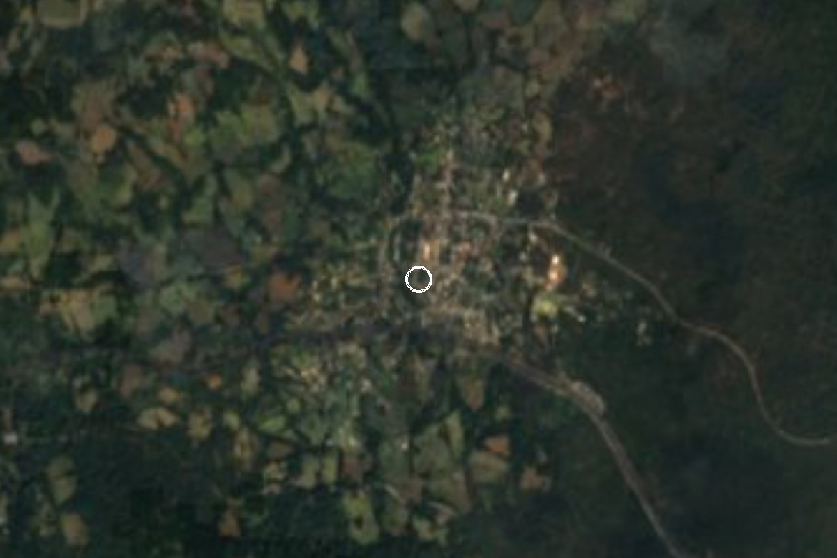
Village Huitzilac, Morelos Municipality of Huitzilac Monasteries on the slopes of Popocatépetl Northern Morelos
Forest village at 2,655 m, split in two by the México-Cuernavaca highway; locals still make charcoal and pulque and hold jaripeos.
From Cuernavaca: 30 min by car (21 km by road) How to get there ↓
Near here
See everything nearby ↓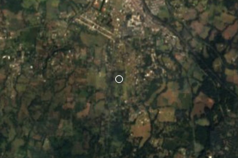
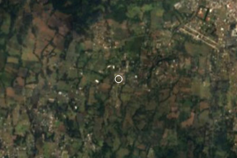

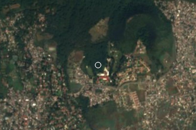


Plan your visit to Coajomulco
Where to stay near Coajomulco
Compare hotels, posadas and guest houses in Coajomulco.
Tours to Coajomulco
Day trips and guided outings from Tepoztlán often include Coajomulco; with a local guide you can get there without a car.
 Tours from Cuernavaca
3hr Cooking Class in Cuernavaca 8 Recipes and Bottomless Drinks
From US$59
How to get to Coajomulco
- From Cuernavaca: about 30 min by road (~21 km)
- Nearest airport: Mexico City (MEX), 1 h 25 min by car to Tepoztlán
Links open a partner site. We may earn a commission if you book, at no cost to you.
Tours from Cuernavaca, near Coajomulco


Tours, prices and ratings from Viator, checked weekly. We may earn a commission if you book.
About Coajomulco
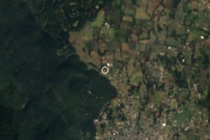
Coajomulco means 'in the corner of the grove' in Nahuatl, and the name still fits: at about 2,655 m it sits among pines and oaks in northern Morelos, with a mean temperature near 12.7 °C. INEGI counted 1,776 people in 2005, 2,089 in 2010 and 2,452 in 2020. It is one of the three ayudantías of the municipality of Huitzilac, and its patron saint, San Buenaventura, is celebrated on 15 July.
An INAH text notes that, like Huitzilac and Tres Marías, the village has for centuries been a stop, a lookout and a resting place for travellers between Cuernavaca and Mexico City; Guillermo Prieto and Madame Calderón de la Barca passed through. The walls of three ruined hermitages remain. One, consecrated to the Resurrection of Christ, gave its name to the Ascensión quarter, and the other quarter, Santa Cruz, is named for a boundary marker topped with a large cross. Logging in the late nineteenth century pushed the village toward Zapatismo. Piped water arrived in 1935, and in 1956 the highway cut the village in two without compensating the communal landholders.
Families still teach their children to grow maize, carve wood, burn charcoal and make pulque. Jaripeos with bull riding accompany the village fiestas, and a youth group throws a dance on the ayudantía's esplanade every 14 February. The outlying parajes keep Nahuatl names: Tetenco, Tetehua, Tecoapan, Tecuapanco and Nauhtepec. Today, quesadilla stalls line the road.
How to get to Coajomulco
Drive from Cuernavaca: 30 min, 21 km
Coajomulco lies on the Mexico City-Cuernavaca corridor: according to INAH both the old federal road and the highway run through the village, and the quesadilla stalls stand beside the road. From Cuernavaca it is about 27 km by road (distanciasentre.com, based on Google Maps), roughly 30 to 40 minutes north, climbing into the forest. From Mexico City, drive south on Federal Highway 95 or the 95D toll road, roughly 1 hour to 1 h 15 min without traffic. Huitzilac, the municipal seat, is about 4.4 km southeast and Tres Marías about 6.5 km east; Tepoztlán is about 20 minutes by car. Pullman de Morelos buses between Terminal Sur Taxqueña and Cuernavaca (Casino station) use this corridor, but We could not confirm a stop at Coajomulco; ask the driver, or get off at Huitzilac and take a taxi.
Directions to Coajomulco on Google Maps
Distances are in a straight line; the road is usually longer.
Links open a partner site. We may earn a commission if you book, at no cost to you.
From the nearest cities to Coajomulco
- Cuernavaca · 21 km by road, 30 min
- Cuautla · 51 km by road, 45 min
- Mexico City · 60 km by road, 1 h
Drive times by road from OpenStreetMap, without traffic or stops. Times marked ~ are estimated from the straight-line distance.
Before you go to Coajomulco: hours, prices and tips
- Best season
- Patron-saint fiesta of San Buenaventura on 15 July; a Carnaval de Coajomulco is also organised by locals (dates not published in the sources). Guía Turística Morelos - Huitzilac · checked Oct 2026
Hours and prices change, especially around holidays. Each fact links to where we checked it.
Visiting Coajomulco: what to see and do
Walk the village and the ayudantía's esplanade.
Look for the walls of the old hermitages, including the Ascensión one.
Eat quesadillas at the stalls beside the highway.
Hike the pine and oak forest around the village.
Come on 15 July, the feast of San Buenaventura, with a jaripeo.
Plan your trip
Places to stay in Coajomulco
Compare hotels, posadas, and rentals in and around Coajomulco.
Tours & activities
Day trips and guided outings from Tepoztlán often include Coajomulco; with a local guide you can get there without a car.
Rental cars
Pick up a car at MEX (Mexico City): about 1 h 25 min by road to Tepoztlán, then 12 km more to Coajomulco, on your own schedule.
Flights
The nearest airport with scheduled flights is Mexico City (MEX), about 1 h 25 min by road from Tepoztlán, the base for Coajomulco.
Mobile data
Signal can drop away from Tepoztlán: download a map of the way to Coajomulco before you set out, or carry an eSIM with data.
Links open a partner site. We may earn a commission if you book, at no cost to you.
When to go to Coajomulco mild
Coajomulco shares the climate of Tepoztlán, 12 km away. The best months to visit are January, February, March, and December.
See the month-by-month climate of Tepoztlán
Weather in Coajomulco now and the next 7 days
Live forecast from Open-Meteo. Chance of rain is the day's highest.
The closest Pueblo Mágico: Tepoztlán

Tepoztlán is the Pueblo Mágico closest to Coajomulco, with places to stay, food, and more to see.
Also close to
- Tlayacapan · Morelos · 25 km away
- Xochitepec · Morelos · 29 km away
- Malinalco · Estado de México · 32 km away
- Tlaltizapán · Morelos · 39 km away
- Metepec · Estado de México · 48 km away
Closest to Coajomulco
-
Corredor Biológico Chichinautzin · Nature reserve · 4 km away
-
Los Olivos · Village · 5 km away
-
Tres Marías · Village · 5 km away
-
Bosque Mirador · Nature reserve · 7 km away
-
Huitzilac · Village · 7 km away
-
Ocotepec · Town · 7 km away
-
Tlacotepec · Village · 7 km away
-
Chamilpa · Village · 8 km away

Near Coajomulco


Drive times by road from OpenStreetMap, without traffic. Times marked ~ are estimated from the straight-line distance.
Location from OpenStreetMap. Written by Puebloteca.