Nature reserve Huitzilac, Morelos Municipality of Huitzilac Monasteries on the slopes of Popocatépetl Northern Morelos
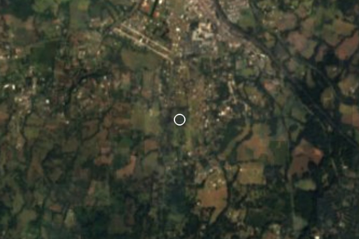
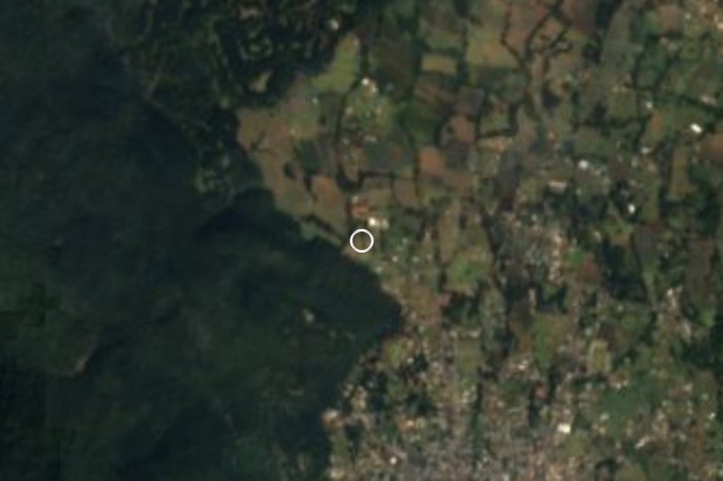
Federal protected area of 37,302 ha, decreed in 1988: pine, oak and fir forest between Cuernavaca, Tepoztlán and Huitzilac, linking Zempoala and El Tepozteco.
From Cuernavaca: 25 min by car (20 km by road) How to get there ↓
Near here
See everything nearby ↓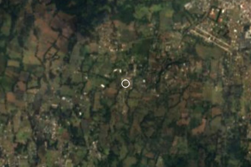



Plan your visit to Corredor Biológico Chichinautzin
Where to stay near Corredor Biológico Chichinautzin
Compare hotels, posadas and guest houses in Corredor Biológico Chichinautzin.
Tours to Corredor Biológico Chichinautzin
Day trips and guided outings from Tepoztlán often include Corredor Biológico Chichinautzin; with a local guide you can get there without a car.
 Tours from Cuernavaca
3hr Cooking Class in Cuernavaca 8 Recipes and Bottomless Drinks
From US$59
How to get to Corredor Biológico Chichinautzin
- From Cuernavaca: about 25 min by road (~20 km)
- Nearest airport: Mexico City (MEX), 1 h 25 min by car to Tepoztlán
Links open a partner site. We may earn a commission if you book, at no cost to you.
Tours from Cuernavaca, near Corredor Biológico Chichinautzin


Tours, prices and ratings from Viator, checked weekly. We may earn a commission if you book.
About Corredor Biológico Chichinautzin
Much of the volcanic ridge that closes off northern Morelos is protected as the Corredor Biológico Chichinautzin, formally a flora and fauna protection area. Its decree appeared in the federal Diario Oficial on 30 November 1988 and names eight Morelos municipalities: Huitzilac, Cuernavaca, Tepoztlán, Jiutepec, Tlalnepantla, Yautepec, Tlayacapan and Totolapan. The state environment ministry's table, built on CONANP data, gives 37,302.40 ha, of which 36,986.82 ha lie in Morelos. Add the two neighbouring national parks and the total passes 65,000 ha, which is the figure many news articles quote.
The area comes in two pieces, one west and one east of El Tepozteco National Park, and its job is to tie that park to the Lagunas de Zempoala park. It has three core zones: Chalchihuites (783 ha), Chichinautzin-Quiahuistepec (2,873 ha, with the Chichinautzin volcano and the Quiahuistepec ridge) and Las Mariposas (1,740 ha, at the eastern end of the Tepoztlán range). Cerro Chichinautzin reaches about 3,470 m and neighbouring Cuatzin 3,510 m. Seven vegetation types grow inside the boundary: pine, oak and oyamel fir forest high up, cloud forest, and tropical dry forest on the lower slopes.
Volcanic rock here is very porous, so rain sinks in and recharges the aquifers that supply Cuernavaca and part of southern Mexico City. Species native to the mountains of central Mexico include the volcano rabbit (Romerolagus diazi), the volcano mouse and a mountain rattlesnake; surveys list about 237 bird species and over 300 fungi, more than 80 of them edible and gathered by local communities.
There is no single gate. The corridor is a belt of forest and villages that you visit in sections: from Huitzilac and the Zempoala side, from Tepoztlán, or from the slopes above Cuernavaca. Official guides list hiking, camping, mountain biking, rappelling and wildlife watching as the main activities.
How to get to Corredor Biológico Chichinautzin
Drive from Cuernavaca: 25 min, 20 km
From Mexico City, take the México-Cuernavaca toll road (95D). Around kilometre 37 you reach the Huitzilac area and the turn-off for the Lagunas de Zempoala, the busiest ways into the western half of the corridor. From Cuernavaca, Huitzilac is about 13 km north as the crow flies (the road winds, so budget roughly 30 minutes, approx.). For the eastern half, Tepoztlán is about 16 km from the centre of the protected polygon and is the handiest base for hikes.
By bus, Mexico City's Terminal Sur (Taxqueña) has services to Cuernavaca with Pullman de Morelos; from there you can take a combi or taxi to Huitzilac. México Desconocido also lists services from Taxqueña to Huitzilac, Ocuilan and Tepoztlán. Because there is no single entrance, ask in each community about the trail and whether a fee applies. CONANP publishes the official information at descubreanp.conanp.gob.mx.
Directions to Corredor Biológico Chichinautzin on Google Maps
Distances are in a straight line; the road is usually longer.
Links open a partner site. We may earn a commission if you book, at no cost to you.
From the nearest cities to Corredor Biológico Chichinautzin
- Cuernavaca · 20 km by road, 25 min
- Cuautla · 55 km by road, 50 min
- Mexico City · 55 km by road, 55 min
Drive times by road from OpenStreetMap, without traffic or stops. Times marked ~ are estimated from the straight-line distance.
Before you go to Corredor Biológico Chichinautzin: hours, prices and tips
- Rules
- Littering, campfires, disturbing wildlife and damaging or removing plants are prohibited; dress warmly, as it is colder than in the valley. México Desconocido · checked Oct 2026
Hours and prices change, especially around holidays. Each fact links to where we checked it.
Visiting Corredor Biológico Chichinautzin: what to see and do
Walk the pine and oyamel forests around Huitzilac and the Lagunas de Zempoala.
Climb the slopes of the Chichinautzin volcano, about 3,470 m, with a local guide.
Look for birds and, in the rainy season, the edible mushrooms the communities gather.
Pair the visit with El Tepozteco National Park, which sits between the corridor's two halves.
Try mountain biking or camping where local communities allow it.
Plan your trip
Places to stay in Corredor Biológico Chichinautzin
Compare hotels, posadas, and rentals in and around Corredor Biológico Chichinautzin.
Tours & activities
Day trips and guided outings from Tepoztlán often include Corredor Biológico Chichinautzin; with a local guide you can get there without a car.
Rental cars
Pick up a car at MEX (Mexico City): about 1 h 25 min by road to Tepoztlán, then 16 km more to Corredor Biológico Chichinautzin, on your own schedule.
Flights
The nearest airport with scheduled flights is Mexico City (MEX), about 1 h 25 min by road from Tepoztlán, the base for Corredor Biológico Chichinautzin.
Travel insurance
If you plan on hiking at Corredor Biológico Chichinautzin, check that your policy covers it: some plans leave adventure activities out.
Mobile data
Signal can drop away from Tepoztlán: download a map of the way to Corredor Biológico Chichinautzin before you set out, or carry an eSIM with data.
Links open a partner site. We may earn a commission if you book, at no cost to you.
When to go to Corredor Biológico Chichinautzin mild
Corredor Biológico Chichinautzin shares the climate of Tepoztlán, 16 km away. The best months to visit are January, February, March, and December.
See the month-by-month climate of Tepoztlán
Weather in Corredor Biológico Chichinautzin now and the next 7 days
Live forecast from Open-Meteo. Chance of rain is the day's highest.
The closest Pueblo Mágico: Tepoztlán

Tepoztlán is the Pueblo Mágico closest to Corredor Biológico Chichinautzin, with places to stay, food, and more to see.
Also close to
- Xochitepec · Morelos · 28 km away
- Tlayacapan · Morelos · 29 km away
- Malinalco · Estado de México · 29 km away
- Tlaltizapán · Morelos · 41 km away
- Metepec · Estado de México · 44 km away
Closest to Corredor Biológico Chichinautzin
-
Los Olivos · Village · 1 km away
-
Tres Marías · Village · 1 km away
-
Huitzilac · Village · 3 km away
-
Tlacotepec · Village · 3 km away
-
Coajomulco · Village · 4 km away
-
Fierro del Toro · Village · 6 km away
-
Chamilpa · Village · 8 km away
-
Estadio Centenario · Landmark · 8 km away


Near Corredor Biológico Chichinautzin


Drive times by road from OpenStreetMap, without traffic. Times marked ~ are estimated from the straight-line distance.
Lists with Corredor Biológico Chichinautzin
Nature Parks in Morelos · 8 Nature Parks near Cuernavaca · 18 Nature Parks near Tepoztlán · 19 Nature Parks near Xochitepec · 15 Nature Parks near Malinalco · 17 Nature Parks near Cuautla · 13 Nature Parks near Tlaltizapán · 10 Nature Parks near Metepec · 16Location from OpenStreetMap. Written by Puebloteca.