A region of Nuevo León
The Monterrey metropolitan area and the Sierra Madre Oriental around it: the city's museums and Parque Fundidora, Cerro de la Silla, Chipinque and La Huasteca on the edge of town, the Grutas de García to the west, and Santiago, Cola de Caballo and the canyons of Matacanes to the south.
1 Pueblo Mágico · 19 places to visit
Pueblos Mágicos in Monterrey and its mountains

Map
Places to visit in Monterrey and its mountains 19
19 places with their own page, grouped by kind.
Landmarks and museums · 5 Nature reserves · 5 Mountains · 4 Waterfalls · 2 Caves · 1 Cities · 1 Lakes · 1
Landmarks and museums
-
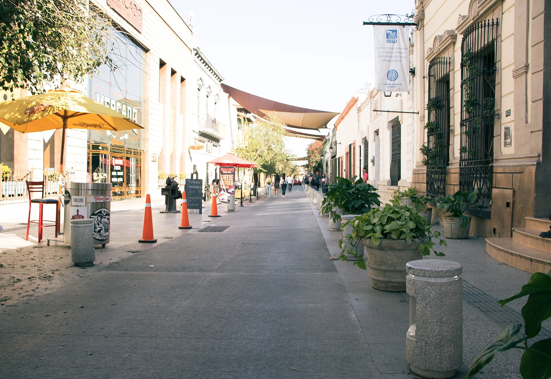
Barrio Antiguo · Landmark · Nuevo León
The surviving corner of colonial Monterrey beside the cathedral: cobbled streets, old houses, small museums, bars and a Sunday arts market. -
El Obispado · Landmark · Nuevo León
Monterrey's oldest colonial building, a 1780s bishop's retreat on a hill west of downtown, now the regional museum, with a flag lookout over the city. -
Macroplaza · Landmark · Nuevo León
Monterrey's 40-hectare civic heart, linking the Palacio de Gobierno, the cathedral, the Faro del Comercio and the city's main history museums. -
Parque Fundidora · Landmark · Nuevo León
Monterrey's old steelworks turned into a 144-hectare park, with blast furnaces, lakes, a steel museum in Horno 3 and the end of the Santa Lucía riverwalk. -
Paseo Santa Lucía · Landmark · Nuevo León
A 2.5 km artificial river through downtown Monterrey, with paths, fountains and guided boat rides from the Macroplaza museums to Parque Fundidora.


Nature reserves
-
Cañón de Matacanes · Nature reserve · Santiago
Mexico's best-known canyoneering route: a full day of jumps, rappels, natural slides and swims through caves in the mountains above Santiago. -
Hidrofobia · Nature reserve · Santiago
The wilder, more technical sister of Matacanes: a canyon of cold pools and jumps of up to 18 meters, starting at the foot of El Chipitín. -
Parque Ecológico Chipinque · Nature reserve · Nuevo León
A 1,791-hectare forest reserve on the mountain above San Pedro and Monterrey, with 37 trails, a 1930s general's house and guided climbs to La M. -
Parque La Huasteca · Nature reserve · Nuevo León
A limestone canyon cut by the Santa Catarina river on Monterrey's western edge, with walls over 550 m high, hundreds of climbing routes and rappel hikes. -
Parque Natural La Estanzuela · Nature reserve · Nuevo León
A wooded canyon park on Monterrey's southern edge where the city got its first drinking water: a cobbled riverside path and a hike to El Cielo falls.


Mountains
-
Cerro Agujerado · Mountain · Nuevo León
A mountain with a great hole in its flank, south of Monterrey: a mostly level river hike with wading and small waterfalls. -
Cerro de la Silla · Mountain · Nuevo León
Monterrey's saddle-shaped emblem, a 1,820-meter natural monument with trails past an abandoned 1961 cable car to Pico Norte and the antenna peak. -
Cerro de las Mitras · Mountain · Nuevo León
The 21 km saw-toothed ridge on Monterrey's western skyline, topping out at about 2,060 m, with old silver mines, climbing peaks and a famous full traverse. -
Cerro del Chupón · Mountain · Nuevo León
A pacifier-shaped peak on Monterrey's southern edge: a steep half-day hike from Colonia Villa Sol to a 360° view of the city and the Sierra Madre.


Waterfalls
-
Cascada El Chipitín · Waterfall · Santiago
A waterfall of about 90 meters dropping into a turquoise pool below Potrero Redondo, reached on foot or as the finale of a rappel route. -
Cola de Caballo · Waterfall · Santiago
Nuevo León's classic family waterfall: a 25-meter fan of water in the Sierra Madre above Santiago, a short walk from the parking lot.


Caves
-
Grutas de García · Cave · Nuevo León
Show caves high in the Sierra del Fraile north-west of Monterrey, reached by cable car, with lit halls of stalactites and marine fossils.

Cities
-
Monterrey · City · Nuevo León
Mexico's industrial capital, ringed by mountains: a steel-mill park, a riverwalk, big museums, cabrito and quick escapes to canyons and caves.

Lakes
-
Presa La Boca · Lake · Santiago
Santiago's mountain-ringed reservoir, built in the 1960s for Monterrey's water, with a free lakeside promenade, kayaks, boat rides and catamarans.

Top tours in Monterrey and its mountains


Tours, prices and ratings from Viator, checked weekly. We may earn a commission if you book.
Getting around Monterrey and its mountains
Fly into Monterrey (MTY).
Cities to start from: Monterrey
Most of the region is reached by road: a rental car is the easiest way to see several places in a day, and buses link the larger towns.
By boat or on foot from Potrero Redondo: Cascada El Chipitín, Cañón de Matacanes, Hidrofobia.
When to visit Monterrey and its mountains
Most of Monterrey and its mountains is at its best in January, February, March, and December.
Month-by-month climate on each Pueblo Mágico's page: Santiago