

Town Contla de Juan Cuamatzi, Tlaxcala Municipality of Contla de Juan Cuamatzi La Malinche
Contla village at the foot of La Malinche, with a 19th-century church of bare-stone towers and cantera angels, a jagüey pond and a 19 March saint's day.
From Chiautempan: 10 min by car (9 km by road) How to get there ↓
Near here



Plan your visit to San José Aztatla
Where to stay near San José Aztatla
Compare hotels, posadas and guest houses in San José Aztatla.
Tours to San José Aztatla
Day trips around Ixtenco sometimes stop in San José Aztatla; a tour is the easy way to see it without a car.
 Tours from Puebla City
Africam Safari Zoo Admission with Transportation
★ 4.8 (87) · From US$35
How to get to San José Aztatla
- From Chiautempan: about 10 min by road (~9 km)
- Nearest airport: Puebla (PBC), 1 h 16 min by car to Ixtenco
Links open a partner site. We may earn a commission if you book, at no cost to you.
Tours from Puebla City, near San José Aztatla


Tours, prices and ratings from Viator, checked weekly. We may earn a commission if you book.
About San José Aztatla
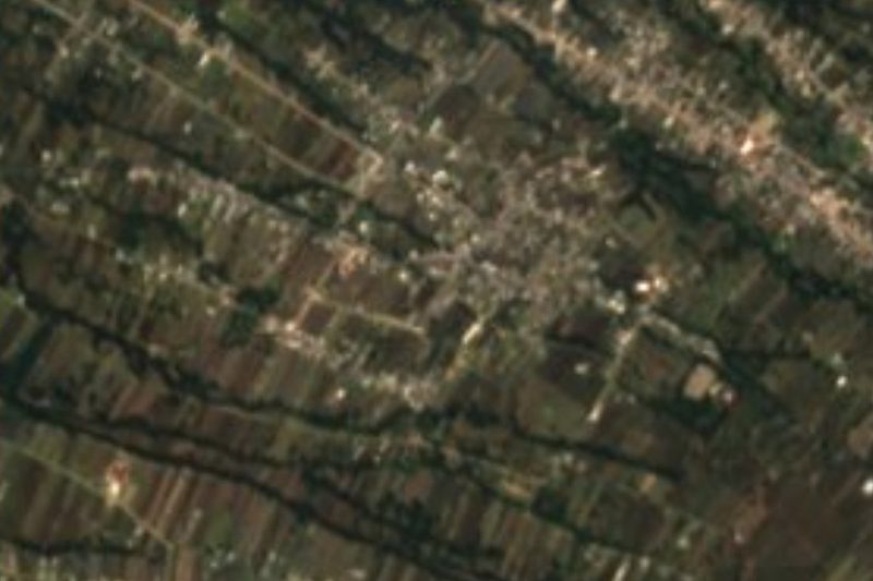
San José Aztatla is a locality in Contla de Juan Cuamatzi, more than 4 km from the municipal seat and at the foot of the Matlalcuéyetl volcano (La Malinche), at about 2,480 m above sea level. Its name joins the patron saint, Saint Joseph, with the Nahuatl aztatl (heron) and tlan (place of abundance): "place where herons abound". The 2020 census counted 2,907 inhabitants, against 677 in 1930. It is surrounded by other slope villages such as San Felipe Cuauhtenco and Ocotlán Tepatlaxco, and its streets have a wooded feel.
The church of San José, from around the 19th century, rises above the streets and can be seen from other villages. Its towers and walls were left unplastered, the stone showing; it carries angels carved in grey cantera stone and the towers have semicircular arches like those of the tower of the former convent of San Francisco in Tlaxcala city. Colonial-era buildings still stand along the streets.
The patron saint's day is 19 March: it begins at dawn with the mañanitas and continues with a popular street party of music and dancing. Another landmark is the jagüey, the rainwater pond that the municipality rehabilitated in 2024 with a million pesos to turn it into a leisure space. Most residents no longer have Nahuatl as a first language. The municipality is known for family-workshop textiles (sarapes, colchas, jorongos, saltillos) and for the huehues carnival held before Ash Wednesday.
How to get to San José Aztatla
Drive from Chiautempan: 10 min, 9 km
Aztatla is about 14 km (roughly 18 minutes by car) from Tlaxcala's main square and more than 4 km from Contla, the municipal seat. From the capital take highway MEX 119 towards Contla (calles Allende, Hidalgo and Madero), enter avenida Juan Cuamatzi and then follow avenida Miguel Hidalgo and calle 16 de Septiembre to the village. From Apizaco it is about 17 km (roughly 19 minutes) via highway MEX 119 (Apizaco–San Pablo Apetatitlán); from Puebla about 41 km (roughly 44 minutes). Without a car, go to Tlaxcala first, whose bus terminal receives services from TAPO in Mexico City and CAPU in Puebla, and continue by shared transport or taxi to Contla and then to the village; there are no published schedules or route numbers.
Directions to San José Aztatla on Google Maps
Distances are in a straight line; the road is usually longer.
Links open a partner site. We may earn a commission if you book, at no cost to you.
From the nearest cities to San José Aztatla
- Chiautempan · 9 km by road, 10 min
- Huamantla · 32 km by road, 30 min
- San Martín Texmelucan · 38 km by road, 30 min
Drive times by road from OpenStreetMap, without traffic or stops. Times marked ~ are estimated from the straight-line distance.
Map of San José Aztatla
Neighbourhoods and villages of San José Aztatla
Part of San José Aztatla or just outside it, closest first.
-
San Felipe Cuauhtenco · Village · 1 km from the centre
Fifth section of Contla on La Malinche's northeast slope; a Nahuatl-speaking village of weavers and farmers with a feast for San Felipe de Jesús on 5 February. -
San Pedro Xochiteotla · Town · 1 km from the centre
Village in Chiautempan with 2,868 people in 2020, once a blanket-weaving place, with its San Pedro fiesta on 29 June. -
San Rafael Tepatlaxco · Village · 2 km from the centre
Village in Chiautempan on the slope of La Malinche at 2,540 m; 2,213 people in 2020, with Archangel Raphael as patron since 1916. -
San Bartolomé Cuahuixmatlac · Town · 3 km from the centre
Chiautempan's second-largest locality, with a church claimed as the first hermitage in the Americas and the Walnut Fair each August. -
Contla · Town · 4 km from the centre
San Bernardino Contla, a weaving town on La Malinche's slopes, home of the saltillo sarape and of Tlaxcala's Revolution, with a catrín carnival. -
San Lucas Tlacochcalco · Town · 4 km from the centre
Fourth-largest locality in Santa Cruz Tlaxcala (3,313 people in 2020), with a 17th-century church restored by INAH in 2023; name means "house of arrows". -
San Pedro Tlalcuapan · Town · 4 km from the centre
Chiautempan locality on the slopes of La Malinche, once called Melendeztla, with two churches and a Nahuatl wedding dance.

Day trips and tours from San José Aztatla
The closest Pueblos Mágicos and places to visit, with the drive from San José Aztatla and tours that leave from it.


Times marked ~ are estimated from the distance. Links open a partner site. We may earn a commission if you book, at no cost to you.
Before you go: getting to and around San José Aztatla
- The nearest airport is Puebla (PBC).
- The best months to go are February, March, November, and December.
- 3 of the places on this page are more than 3 km from the centre: take a taxi, a ride-hailing app or a local bus.
- For day trips a rental car gives the most freedom; the tours above leave from San José Aztatla.
Before you go to San José Aztatla: hours, prices and tips
- Best season
- Saint Joseph's patron festival on 19 March, with dawn mañanitas and a street party. Cámara Oscura · checked Oct 2026
Hours and prices change, especially around holidays. Each fact links to where we checked it.
Visiting San José Aztatla: what to see and do
The church of San José, with unplastered towers and grey cantera angels
The streets with colonial-era houses
The jagüey pond, rehabilitated in 2024 as a leisure space
The patron saint's day on 19 March, with mañanitas and a street party
Contla, the seat, with its family workshops making sarapes and saltillos
Plan your trip
Places to stay in San José Aztatla
Compare hotels, posadas, and rentals in and around San José Aztatla.
Tours & activities
Day trips around Ixtenco sometimes stop in San José Aztatla; a tour is the easy way to see it without a car.
Rental cars
Pick up a car at PBC (Puebla): about 1 h 16 min by road to Ixtenco, then 22 km more to San José Aztatla, on your own schedule.
Flights
The nearest airport with scheduled flights is Puebla (PBC), about 1 h 16 min by road from Ixtenco, the base for San José Aztatla.
Mobile data
Signal can drop away from Ixtenco: download a map of the way to San José Aztatla before you set out, or carry an eSIM with data.
Links open a partner site. We may earn a commission if you book, at no cost to you.
When to go to San José Aztatla cool
San José Aztatla shares the climate of Ixtenco, 22 km away. The best months to visit are February, March, November, and December.
See the month-by-month climate of Ixtenco
Weather in San José Aztatla now and the next 7 days
Live forecast from Open-Meteo. Chance of rain is the day's highest.
The closest Pueblo Mágico: Ixtenco

Ixtenco is the Pueblo Mágico closest to San José Aztatla, with places to stay, food, and more to see.
Also close to
- Huamantla · Tlaxcala · 22 km away
- Tlaxco · Tlaxcala · 34 km away
- Huejotzingo · Puebla · 34 km away
- Cholula · Puebla · 34 km away
- Atlixco · Puebla · 54 km away
Near San José Aztatla


Drive times by road from OpenStreetMap, without traffic. Times marked ~ are estimated from the straight-line distance.
Location from OpenStreetMap. Written by Puebloteca.