Village Chiautempan, Tlaxcala Municipality of Chiautempan La Malinche
Village in Chiautempan on the slope of La Malinche at 2,540 m; 2,213 people in 2020, with Archangel Raphael as patron since 1916.
From Chiautempan: 15 min by car (10 km by road) How to get there ↓
Near here
See everything nearby ↓



Plan your visit to San Rafael Tepatlaxco
Where to stay near San Rafael Tepatlaxco
Compare hotels, posadas and guest houses in San Rafael Tepatlaxco.
Tours to San Rafael Tepatlaxco
Day trips and guided outings from Ixtenco often include San Rafael Tepatlaxco; with a local guide you can get there without a car.
 Tours from Puebla City
Africam Safari Zoo Admission with Transportation
★ 4.8 (87) · From US$35
How to get to San Rafael Tepatlaxco
- From Chiautempan: about 15 min by road (~10 km)
- Nearest airport: Puebla (PBC), 1 h 16 min by car to Ixtenco
Links open a partner site. We may earn a commission if you book, at no cost to you.
Tours from Puebla City, near San Rafael Tepatlaxco


Tours, prices and ratings from Viator, checked weekly. We may earn a commission if you book.
About San Rafael Tepatlaxco
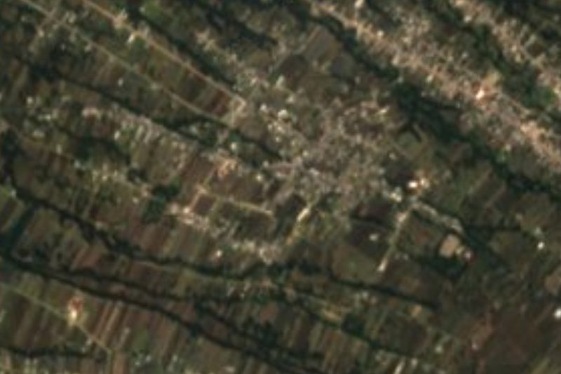
San Rafael Tepatlaxco is a village in Chiautempan municipality, at about 2,540 metres above sea level on the slope of La Malinche. It borders San Pedro Xochiteotla, San José Aztatla, Ocotlán Tepatlaxco, San Felipe Cuauhtenco and San Bartolomé Cuahuixmatlac. In 2020 it had 2,213 people in 549 homes (2,003 in 2010), with an average of 9.5 years of schooling. The mean annual temperature is around 13.6 °C and about 884 mm of rain falls a year, mostly from May to September.
The name comes from Nahuatl tepatlach, stone, and tlaxco, flat, roughly "place of flat stones". Local history says the Teochichimecas or Tlaxcalans displaced the Olmec-Xicalanca, and a band of young warriors settled on the heights of the Matlalcuéyetl and founded Tepatlaxco with seven noble houses. Its people worshipped the goddess Matlalcuéyetl on the small hill of Tlachihualtepec until the Spanish came and the Virgin of Guadalupe took her place. Around 1892 it was a barrio of Santa Ana Chiautempan with a Guadalupe chapel.
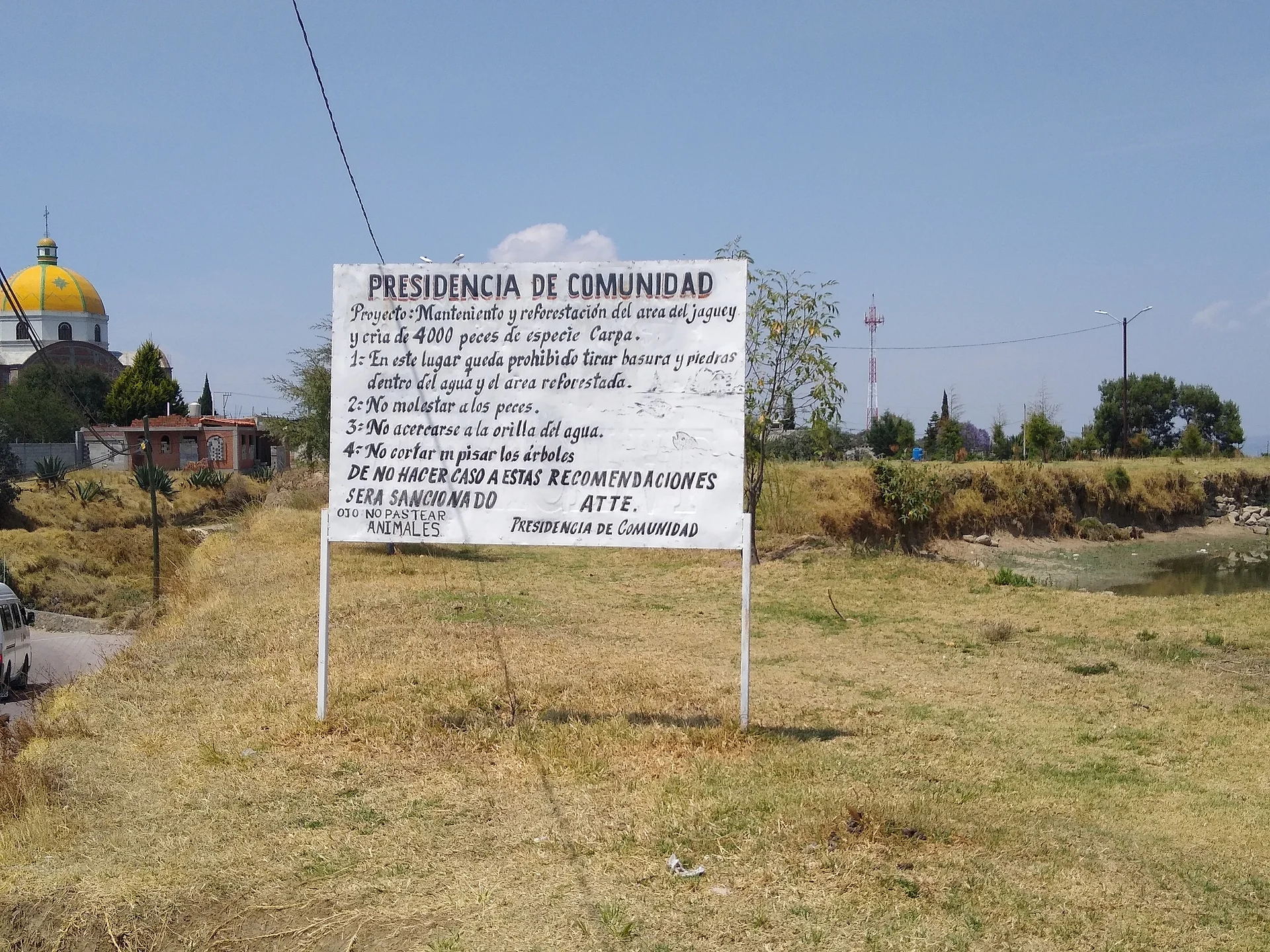
The village saw no direct fighting in the Revolution but lent houses as barracks and fed the revolutionaries; in 1917-1918 about 80 people died of flu and hunger. In 1916, after a great famine, Archangel Raphael replaced the Virgin of Guadalupe as patron, linked to the protection of the frogs and toads of the jagüeyes (rain ponds). The municipality has oak forest, rabbits, hares and quail.
How to get to San Rafael Tepatlaxco
Drive from Chiautempan: 15 min, 10 km
San Rafael Tepatlaxco is in Chiautempan municipality, about 29 km from the city of Puebla (roughly 35 minutes by car) via the Santa Ana-Puebla short route, and about 20 km from Ixtenco, the nearest Pueblo Mágico (roughly 25 minutes). From Tlaxcala city take the Santa Ana-Tlaxcala highway to Santa Ana Chiautempan, about 11 km away, then continue on local roads north and east. San Pedro Xochiteotla is its immediate neighbour to the west. There are no published schedules for a direct shared-transport service; ask in Chiautempan about the combis serving these villages on the slope of La Malinche, or come by taxi or car.
Directions to San Rafael Tepatlaxco on Google Maps
Distances are in a straight line; the road is usually longer.
Links open a partner site. We may earn a commission if you book, at no cost to you.
From the nearest cities to San Rafael Tepatlaxco
- Chiautempan · 10 km by road, 15 min
- Huamantla · 33 km by road, 35 min
- San Martín Texmelucan · 40 km by road, 35 min
Drive times by road from OpenStreetMap, without traffic or stops. Times marked ~ are estimated from the straight-line distance.
Visiting San Rafael Tepatlaxco: what to see and do
The church of San Rafael, in the village centre
The jagüeyes, rain ponds tied to the cult of Saint Raphael
The small hill of Tlachihualtepec, where the goddess Matlalcuéyetl was worshipped
The oak forest on the slope of La Malinche
San Pedro Xochiteotla, the neighbouring village, a short distance away
Plan your trip
Places to stay in San Rafael Tepatlaxco
Compare hotels, posadas, and rentals in and around San Rafael Tepatlaxco.
Tours & activities
Day trips and guided outings from Ixtenco often include San Rafael Tepatlaxco; with a local guide you can get there without a car.
Rental cars
Pick up a car at PBC (Puebla): about 1 h 16 min by road to Ixtenco, then 20 km more to San Rafael Tepatlaxco, on your own schedule.
Flights
The nearest airport with scheduled flights is Puebla (PBC), about 1 h 16 min by road from Ixtenco, the base for San Rafael Tepatlaxco.
Mobile data
Signal can drop away from Ixtenco: download a map of the way to San Rafael Tepatlaxco before you set out, or carry an eSIM with data.
Links open a partner site. We may earn a commission if you book, at no cost to you.
When to go to San Rafael Tepatlaxco cool
San Rafael Tepatlaxco shares the climate of Ixtenco, 20 km away. The best months to visit are February, March, November, and December.
See the month-by-month climate of Ixtenco
Weather in San Rafael Tepatlaxco now and the next 7 days
Live forecast from Open-Meteo. Chance of rain is the day's highest.
The closest Pueblo Mágico: Ixtenco

Ixtenco is the Pueblo Mágico closest to San Rafael Tepatlaxco, with places to stay, food, and more to see.
Also close to
- Huamantla · Tlaxcala · 21 km away
- Cholula · Puebla · 33 km away
- Huejotzingo · Puebla · 34 km away
- Tlaxco · Tlaxcala · 35 km away
- Atlixco · Puebla · 54 km away
Closest to San Rafael Tepatlaxco
-
San Felipe Cuauhtenco · Village · 2 km away
-
San José Aztatla · Town · 2 km away
-
San Pedro Xochiteotla · Town · 2 km away
-
San Bartolomé Cuahuixmatlac · Town · 3 km away
-
San Pedro Tlalcuapan · Town · 5 km away
-
Contla · Town · 6 km away
-
Cuatlapanga · Mountain · 6 km away
-
San Francisco Tetlanohcan · Town · 6 km away


Near San Rafael Tepatlaxco


Drive times by road from OpenStreetMap, without traffic. Times marked ~ are estimated from the straight-line distance.
Location from OpenStreetMap. Written by Puebloteca.