
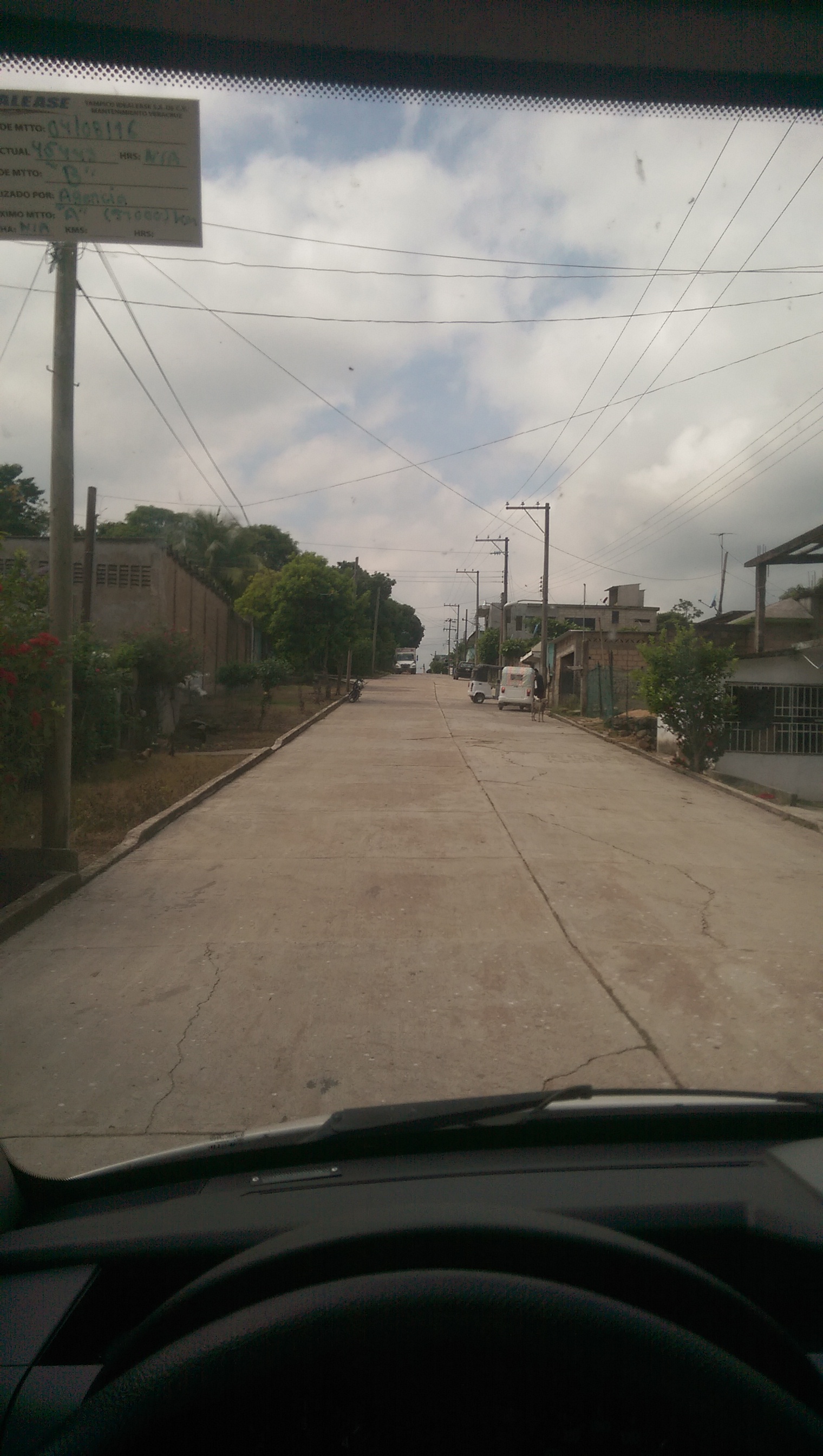
Town Texistepec, Veracruz Southern Veracruz (Olmec region)
Popoluca town of southern Veracruz in old Olmec country: San Lorenzo Tenochtitlán lies in its municipality. 40 minutes from Minatitlán.
From Minatitlán: about 35 min by road (~40 km) How to get there ↓
Near here
See everything nearby ↓


Plan your visit to Texistepec
Where to stay near Texistepec
Compare hotels, posadas and guest houses in Texistepec.
Tours to Texistepec
Day trips around Veracruz sometimes stop in Texistepec; a tour is the easy way to see it without a car.
Links open a partner site. We may earn a commission if you book, at no cost to you.
About Texistepec
Texistepec is the seat of the municipality of the same name in southern Veracruz, about 40 metres above sea level and some 285 km by road from Xalapa, the state capital. The 2020 census counted 8,969 people in the town and close to 20,000 in the municipality, which covers about 615 km² and has 120 localities. Its neighbours are Soconusco and Oluta to the north, Jáltipan and Hidalgotitlán to the east, Jesús Carranza to the south and Sayula de Alemán to the west. Small streams drain into the Río Chiquito, a tributary of the Coatzacoalcos, and the climate is hot, with rain in summer and autumn.
The name is Nahuatl, read as either "hill of the snail" or "hill of the egg", and the hill is said to give off a foul smell from its sulphur deposits. This was Olmec land: San Lorenzo Tenochtitlán, one of the largest Olmec sites, from the Preclassic period, lies within the municipality. In 1580 the town belonged to the province of Coatzacoalcos; by 1831 San Miguel Texistepec was a municipality holding two square leagues of titled land, and on 31 December 1893 Governor Teodoro A. Dehesa made it a free municipality by decree.
Texistepec is home to Texistepec Popoluca, a Zoquean language of the Mixe-Zoque family now kept alive by few speakers, most of them over 70. The patron saint is San Miguel Arcángel, whose church stands in town, and there is a small museum. December brings the feast of the Virgin of Guadalupe and the toreo del pavo, which draws teams from around the region and from Chiapas. Farmers here grow maize, beans, oranges, rice and sorghum.
How to get to Texistepec
Texistepec is about 40 minutes by car from Minatitlán, the nearest city, over 39 km of road. We found no reliable information on buses or colectivos to the town, so ask locally in Minatitlán before setting out.
Directions to Texistepec on Google Maps
Distances are in a straight line; the road is usually longer.
Links open a partner site. We may earn a commission if you book, at no cost to you.
From the nearest cities to Texistepec
- Minatitlán · about 40 km by road, ~35 min
- Coatzacoalcos · about 65 km by road, ~55 min
- San Andrés Tuxtla · about 95 km by road, ~1 h 25 min
Drive times by road from OpenStreetMap, without traffic or stops. Times marked ~ are estimated from the straight-line distance.
Visiting Texistepec: what to see and do
Church of San Miguel Arcángel
Texistepec museum
Olmec site of San Lorenzo Tenochtitlán, within the municipality
Virgin of Guadalupe feast and toreo del pavo in December
Plan your trip
Places to stay in Texistepec
Compare hotels, posadas, and rentals in and around Texistepec.
Tours & activities
Day trips around Veracruz sometimes stop in Texistepec; a tour is the easy way to see it without a car.
Mobile data
Signal can drop away from Veracruz: download a map of the way to Texistepec before you set out, or carry an eSIM with data.
Links open a partner site. We may earn a commission if you book, at no cost to you.
Closest to Texistepec
-
Oluta · Town · 9 km away
-
Acayucan · Town · 12 km away
-
Jáltipan · Town · 13 km away
-
Oteapan · Town · 20 km away
-
Chinameca · Town · 21 km away
-
Cosoleacaque · Town · 22 km away
-
Aguilera · Village · 23 km away
-
Huazuntlán · Village · 29 km away
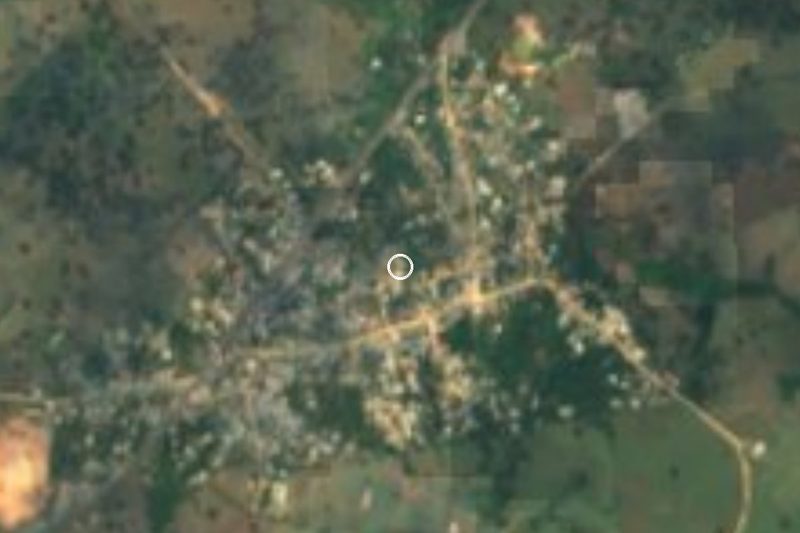

Near Texistepec




Drive times by road from OpenStreetMap, without traffic. Times marked ~ are estimated from the straight-line distance.
Location from OpenStreetMap. Written by Puebloteca.