


Town Chemax, Yucatán Municipality of Chemax Eastern Yucatán
A Maya market town on the old Highway 180 east of Valladolid, with a big yellow 16th-century church and a June fiesta for San Antonio.
From Valladolid: 30 min by car (30 km by road) How to get there ↓
Near here
See everything nearby ↓



Plan your visit to Chemax
Where to stay near Chemax
Compare hotels, posadas and guest houses in Chemax.
Tours to Chemax
Day trips around Valladolid sometimes stop in Chemax; a tour is the easy way to see it without a car.
 Tours from Valladolid
Valladolid Mayan Bees Tour with Lunch or breakfast and Honey Tasting
★ 4.9 (205) · From US$22
How to get to Chemax
- From Valladolid: about 30 min by road (~30 km)
- Nearest airport: Tulum (TQO), 2 h by car to Valladolid
Links open a partner site. We may earn a commission if you book, at no cost to you.
Tours from Valladolid, near Chemax


Tours, prices and ratings from Viator, checked weekly. We may earn a commission if you book.
About Chemax
Chemax is the seat of the municipality of the same name in the far east of Yucatán, about 28 km east of Valladolid on the free Highway 180, the old Mérida–Puerto Juárez road that runs on toward Cancún. The municipality reaches all the way to the Quintana Roo state line and lies roughly 185 km east of Mérida. The name is usually explained as Maya for "tree of monkeys". The town is growing fast: the census counted 9,973 people in 2000 and 17,502 in 2020.
A Maya town stood here before the conquest, part of the Cupul chiefdom that ruled much of eastern Yucatán. In 1549 the Spanish granted it as an encomienda to Juan López de Mena. On the morning of 4 December 1847, early in the Caste War, rebel Maya attacked Chemax from several sides; its few defenders under Captain Francisco Domínguez were almost out of ammunition when Captain Fermín Irabién arrived with troops from Valladolid and won the fight. Even so, the troops were pulled back to Valladolid soon afterwards and the town was left empty. Chemax became a municipality of its own in 1918. The poet and journalist Luis Rosado Vega, who wrote the words of the famous Yucatecan song "Peregrina", was born here in 1873.
The heart of town is the main square, dominated by the large yellow church of San Antonio de Padua with its two bell towers and carved stucco facade; the state's municipal encyclopedia lists the churches of San Antonio de Padua, La Purísima Concepción and San Pedro among the town's historic buildings, along with the 19th-century town hall. Around the square you'll find the municipal market and old stone houses, some of them in ruins. The municipality counts more than 60 cenotes and many small Maya archaeological sites, but they are not set up for visitors. The big date is the fiesta of San Antonio de Padua, held from 10 to 13 June with jarana dancing.
How to get to Chemax
Drive from Valladolid: 30 min, 30 km
Chemax is on the free Highway 180 (Mérida–Puerto Juárez), about 28 km east of Valladolid; the highway runs through the middle of town. From Mérida, drive to Valladolid first (about 160 km on the 180D toll road or the free 180), then continue east on the free 180. From Cancún, Chemax is about 95 km west on the same free road.
Directions to Chemax on Google Maps
Distances are in a straight line; the road is usually longer.
Links open a partner site. We may earn a commission if you book, at no cost to you.
From the nearest cities to Chemax
- Valladolid · 30 km by road, 30 min
- Tizimín · 79 km by road, 1 h 15 min
- Playa del Carmen · 110 km by road, 1 h 35 min
Drive times by road from OpenStreetMap, without traffic or stops. Times marked ~ are estimated from the straight-line distance.
Before you go to Chemax: hours, prices and tips
- Best season
- Patron saint's fiesta for San Antonio de Padua, 10–13 June. Wikipedia (es) / Enciclopedia de los Municipios (INAFED) · checked Oct 2026
Hours and prices change, especially around holidays. Each fact links to where we checked it.
Visiting Chemax: what to see and do
See the yellow church of San Antonio de Padua with its twin towers on the main square.
Walk around the square to the 19th-century town hall and the municipal market.
Look for the old house where the poet Luis Rosado Vega, author of "Peregrina", was born.
Come for the San Antonio de Padua fiesta, 10 to 13 June, with jarana dancing.
Stop on the free Highway 180 between Valladolid and Cancún.
Plan your trip
Places to stay in Chemax
Compare hotels, posadas, and rentals in and around Chemax.
Tours & activities
Day trips around Valladolid sometimes stop in Chemax; a tour is the easy way to see it without a car.
Rental cars
Pick up a car at TQO (Tulum): about 2 h by road to Valladolid, then 28 km more to Chemax, on your own schedule.
Flights
The nearest airport with scheduled flights is Tulum (TQO), about 2 h by road from Valladolid, the base for Chemax.
Mobile data
Signal can drop away from Valladolid: download a map of the way to Chemax before you set out, or carry an eSIM with data.
Links open a partner site. We may earn a commission if you book, at no cost to you.
Photos
When to go to Chemax warm
Chemax shares the climate of Valladolid, 28 km away. The best months to visit are January, February, November, and December.
See the month-by-month climate of Valladolid
Weather in Chemax now and the next 7 days
Live forecast from Open-Meteo. Chance of rain is the day's highest.
The closest Pueblo Mágico: Valladolid

Valladolid is the Pueblo Mágico closest to Chemax, with places to stay, food, and more to see.
Also close to
Closest to Chemax
-
Cenote Xux Há · Cenote · 12 km away
-
Chechmil · Village · 13 km away
-
Uspibil · Village · 14 km away
-
Cenote Chukum · Cenote · 16 km away
-
Kanxoc · Village · 17 km away
-
Yalcobá · Village · 18 km away
-
Sisbichén · Village · 19 km away
-
Cenote Suytún · Cenote · 20 km away


Near Chemax

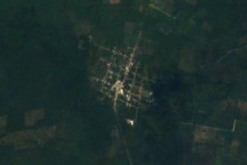



Drive times by road from OpenStreetMap, without traffic. Times marked ~ are estimated from the straight-line distance.
Location from OpenStreetMap. Written by Puebloteca.