


Village Chemax, Yucatán Municipality of Chemax Eastern Yucatán
Maya farming village north of Chemax, with a tall red church whose two slim bell towers rise above the bush.
From Valladolid: 55 min by car (54 km by road) How to get there ↓
Near here
See everything nearby ↓
Plan your visit to Sisbichén
Where to stay near Sisbichén
Compare hotels, posadas and guest houses in Sisbichén.
Tours to Sisbichén
Day trips and guided outings from Valladolid often include Sisbichén; with a local guide you can get there without a car.
How to get to Sisbichén
- From Valladolid: about 55 min by road (~54 km)
- Nearest airport: Tulum (TQO), 2 h by car to Valladolid
Links open a partner site. We may earn a commission if you book, at no cost to you.
About Sisbichén
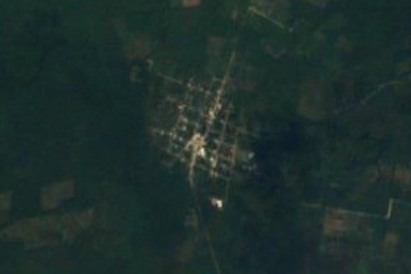
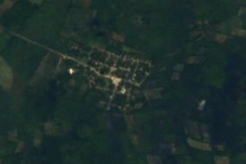
Out in the far east of Yucatán, in Chemax municipality, Sisbichén stands on level, wooded ground that runs on toward the Quintana Roo border. Measured in a straight line, the municipal seat is about 19 km to the south and Valladolid about 32 km to the south-west; the village is around 29 m above sea level. Its 2,172 residents in 2020 put it among the municipality's biggest settlements, with only Chemax, X-Can, Xalaú and X-Catzín larger.
Census takers have spelled this Maya name in several ways: Sisbicchén in 1930, Siabicchén in 1950, Sisbicchén once more in 1990, and eventually today's Sisbichén. Numbers have risen without a break: 150 residents in 1921, roughly 200 through the 1940s and 1950s, a little over 1,000 by 1990 and 1,747 in 2010. Families here make a living as they do across Chemax, from milpa plots of maize and beans plus jícama, chili and tomatoes, and from keeping cattle and pigs.
What catches the eye is the church, tall and painted red, its facade topped by two narrow bell towers, set behind a low stone wall washed white with lime. Nothing here is aimed at tourists. Come to see an everyday Maya village of eastern Yucatán, ideally as part of a drive on the free road linking Valladolid and Cancún.
How to get to Sisbichén
Drive from Valladolid: 55 min, 54 km
Leave Valladolid heading east on Federal Highway 180, the toll-free road to Cancún, and pass through Chemax. Just beyond X-Catzín, around 10 km after Chemax, swing north onto local roads. Expect roughly 54 km and 50 minutes in total. Coming from Mérida, you first cover the roughly 160 km to Valladolid on motorway 180D.
Directions to Sisbichén on Google Maps
Distances are in a straight line; the road is usually longer.
Links open a partner site. We may earn a commission if you book, at no cost to you.
From the nearest cities to Sisbichén
- Valladolid · 54 km by road, 55 min
- Tizimín · 53 km by road, 1 h
- Playa del Carmen · 112 km by road, 1 h 35 min
Drive times by road from OpenStreetMap, without traffic or stops. Times marked ~ are estimated from the straight-line distance.
Visiting Sisbichén: what to see and do
The tall red church and its two slender bell towers.
A low lime-washed stone wall enclosing the churchyard.
Everyday routines in a farming village of Chemax municipality.
Plan your trip
Places to stay in Sisbichén
Compare hotels, posadas, and rentals in and around Sisbichén.
Tours & activities
Day trips and guided outings from Valladolid often include Sisbichén; with a local guide you can get there without a car.
Rental cars
Pick up a car at TQO (Tulum): about 2 h by road to Valladolid, then 32 km more to Sisbichén, on your own schedule.
Flights
The nearest airport with scheduled flights is Tulum (TQO), about 2 h by road from Valladolid, the base for Sisbichén.
Mobile data
Signal can drop away from Valladolid: download a map of the way to Sisbichén before you set out, or carry an eSIM with data.
Links open a partner site. We may earn a commission if you book, at no cost to you.
Photos
When to go to Sisbichén warm
Sisbichén shares the climate of Valladolid, 32 km away. The best months to visit are January, February, November, and December.
See the month-by-month climate of Valladolid
Weather in Sisbichén now and the next 7 days
Live forecast from Open-Meteo. Chance of rain is the day's highest.
The closest Pueblo Mágico: Valladolid

Valladolid is the Pueblo Mágico closest to Sisbichén, with places to stay, food, and more to see.
Also close to
- Espita · Yucatán · 45 km away
Closest to Sisbichén
-
Chechmil · Village · 7 km away
-
Kuxeb · Village · 7 km away
-
Cenote Secreto Maya · Cenote · 9 km away
-
Cenote Xcanahaltún · Cenote · 10 km away
-
Uspibil · Village · 10 km away
-
Mucel · Village · 12 km away
-
Yalcobá · Village · 12 km away
-
Cenote Agua Dulce · Cenote · 14 km away

Near Sisbichén





Drive times by road from OpenStreetMap, without traffic. Times marked ~ are estimated from the straight-line distance.
Location from OpenStreetMap. Written by Puebloteca.