Cenote Temozón, Yucatán Municipality of Temozón Eastern Yucatán
A quiet cave cenote northeast of Valladolid, reached down a spiral staircase, with green-blue water lit by a single hole in the roof.
From Valladolid: 35 min by car (30 km by road) How to get there ↓
Near here
See everything nearby ↓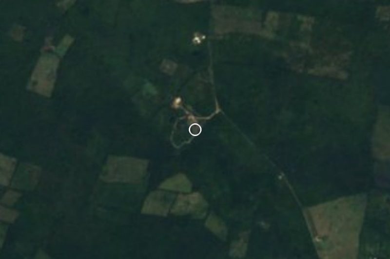

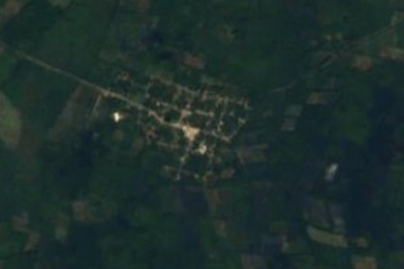

Plan your visit to Cenote Xcanahaltún
Where to stay near Cenote Xcanahaltún
Compare hotels, posadas and guest houses in Cenote Xcanahaltún.
Tours to Cenote Xcanahaltún
Day trips and guided outings from Valladolid often include Cenote Xcanahaltún; with a local guide you can get there without a car.
 Tours from Valladolid
Valladolid Mayan Bees Tour with Lunch or breakfast and Honey Tasting
★ 4.9 (205) · From US$22
How to get to Cenote Xcanahaltún
- From Valladolid: about 35 min by road (~30 km)
- Nearest airport: Tulum (TQO), 2 h by car to Valladolid
Links open a partner site. We may earn a commission if you book, at no cost to you.
Tours from Valladolid, near Cenote Xcanahaltún


Tours, prices and ratings from Viator, checked weekly. We may earn a commission if you book.
About Cenote Xcanahaltún
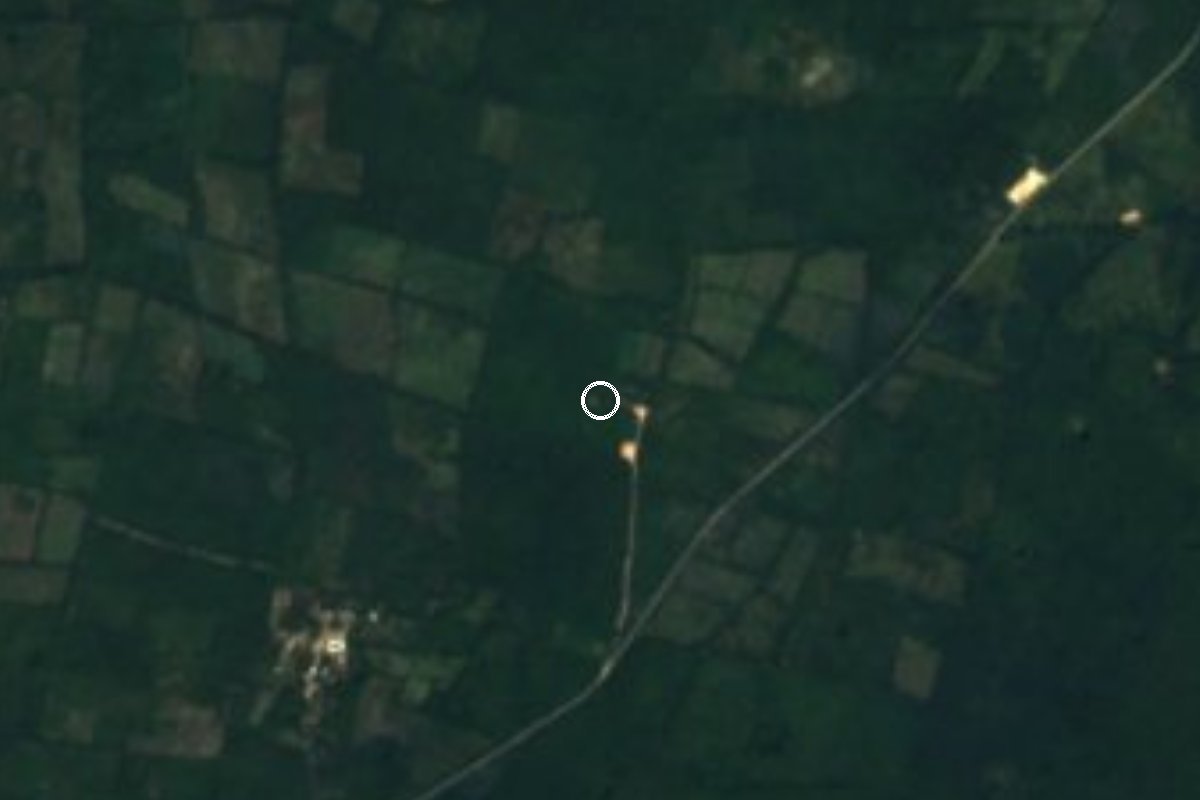
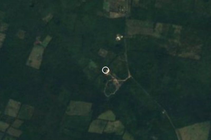
Cenote Xcanahaltún is a cave cenote in the countryside northeast of Valladolid, on the Temozón side of the municipal line and a few kilometres from the village of Yalcobá and its cenotes. It is reached by several kilometres of quiet one-lane roads and a last kilometre of gravel, which keeps the tour buses away: visitors often have it to themselves.
A wooden spiral staircase leads down into a vaulted cave hung with stalactites, and a further flight of steps ends at a wooden platform at the water's edge. A hole in the roof lets in a shaft of sunlight that turns the clear water a greenish blue, and rock formations line much of the surface. The state tourism board notes that the Maya who settled nearby once drew their water here.
Facilities are simple: parking, toilets and a small restaurant by the path to the staircase. You can swim, and the state tourism site also lists kayaking. There are no lifeguards, so take care if you are not a confident swimmer.
How to get to Cenote Xcanahaltún
Drive from Valladolid: 35 min, 30 km
From Valladolid head northeast toward Yalcobá; the cenote is signposted off the local road, with several kilometres of one-lane road and a final kilometre of gravel. An ordinary two-wheel-drive car is fine except after heavy rain. Tours from Valladolid that combine several cenotes also stop here (entry not always included). From Mérida, allow about two and a half hours via Valladolid.
Directions to Cenote Xcanahaltún on Google Maps
Distances are in a straight line; the road is usually longer.
Links open a partner site. We may earn a commission if you book, at no cost to you.
From the nearest cities to Cenote Xcanahaltún
- Valladolid · 30 km by road, 35 min
- Tizimín · 53 km by road, 1 h 5 min
- Playa del Carmen · 125 km by road, 1 h 55 min
Drive times by road from OpenStreetMap, without traffic or stops. Times marked ~ are estimated from the straight-line distance.
Before you go to Cenote Xcanahaltún: hours, prices and tips
- Hours
- Daily 9:00–18:00, all year. Yucatán Travel (SEFOTUR) · checked Oct 2026
- Entry
- About 100 pesos per person (Outbound listing, undated); confirm locally or on +52 985 102 4651. The Outbound · checked Oct 2026
- Time needed
- Allow about 3 hours, according to the state tourism board. Yucatán Travel (SEFOTUR) · checked Oct 2026
- Rules
- There are no lifeguards on duty. The Outbound · checked Oct 2026
Hours and prices change, especially around holidays. Each fact links to where we checked it.
Visiting Cenote Xcanahaltún: what to see and do
Climb down the wooden spiral staircase into the stalactite cave.
Swim from the platform in the sunlit green-blue water.
Combine it with Cenotes Palomitas and Agua Dulce near Yalcobá.
Eat at the small restaurant by the entrance path.
Plan your trip
Places to stay in Cenote Xcanahaltún
Compare hotels, posadas, and rentals in and around Cenote Xcanahaltún.
Tours & activities
Day trips and guided outings from Valladolid often include Cenote Xcanahaltún; with a local guide you can get there without a car.
Rental cars
Pick up a car at TQO (Tulum): about 2 h by road to Valladolid, then 25 km more to Cenote Xcanahaltún, on your own schedule.
Flights
The nearest airport with scheduled flights is Tulum (TQO), about 2 h by road from Valladolid, the base for Cenote Xcanahaltún.
Travel insurance
If you plan on swimming or snorkeling at Cenote Xcanahaltún, check that your policy covers it: some plans leave adventure activities out.
Mobile data
Signal can drop away from Valladolid: download a map of the way to Cenote Xcanahaltún before you set out, or carry an eSIM with data.
Links open a partner site. We may earn a commission if you book, at no cost to you.
When to go to Cenote Xcanahaltún warm
Cenote Xcanahaltún shares the climate of Valladolid, 25 km away. The best months to visit are January, February, November, and December.
Underground water keeps much the same temperature all year, so Cenote Xcanahaltún is good in any month and coolest to visit in the hottest ones (April, May, and August).
See the month-by-month climate of Valladolid
Weather in Cenote Xcanahaltún now and the next 7 days
Live forecast from Open-Meteo. Chance of rain is the day's highest.
The closest Pueblo Mágico: Valladolid

Valladolid is the Pueblo Mágico closest to Cenote Xcanahaltún, with places to stay, food, and more to see.
Also close to
- Espita · Yucatán · 35 km away
Closest to Cenote Xcanahaltún
-
Cenote Agua Dulce · Cenote · 4 km away
-
Cenote Palomitas · Cenote · 4 km away
-
Cenote Secreto Maya · Cenote · 5 km away
-
Yalcobá · Village · 5 km away
-
Uspibil · Village · 8 km away
-
Chechmil · Village · 9 km away
-
Sisbichén · Village · 10 km away
-
Cenote X'Canché · Cenote · 12 km away


Near Cenote Xcanahaltún
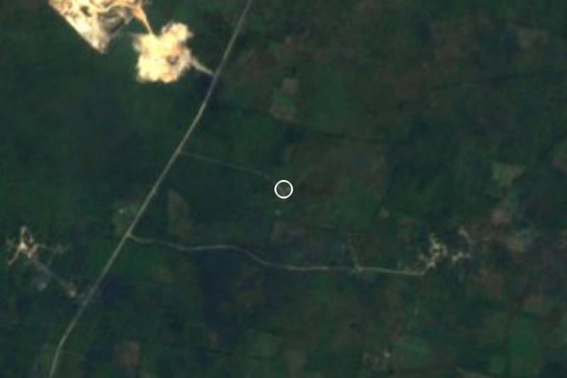
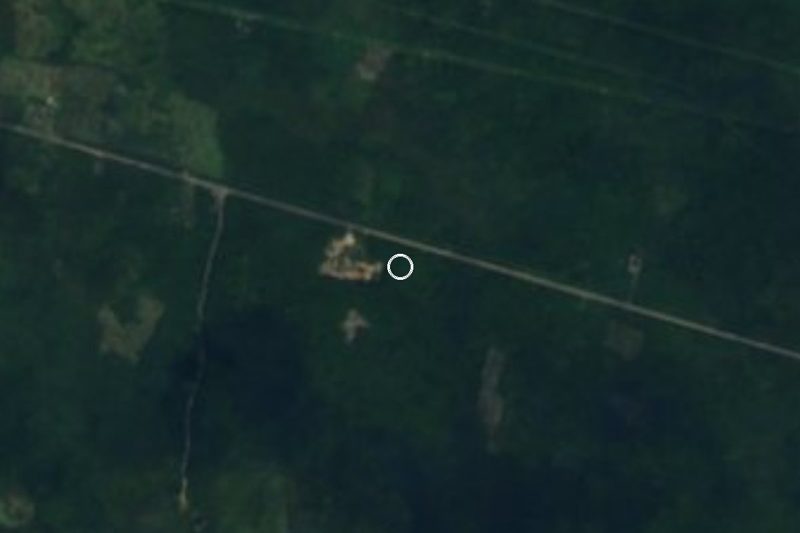


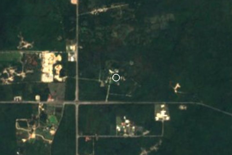


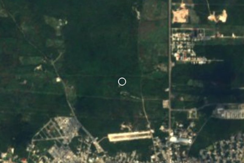


Drive times by road from OpenStreetMap, without traffic. Times marked ~ are estimated from the straight-line distance.
Lists with Cenote Xcanahaltún
Cenotes in Yucatán · 28 Cenotes near Valladolid · 19 Cenotes near Tizimín · 16Location from OpenStreetMap. Written by Puebloteca.