

Village Progreso, Yucatán Municipality of Progreso Costa Esmeralda (Yucatán)
A small fishing and beach village west of Progreso, with shallow calm water, dunes and boat trips into the lagoon and mangroves to Isla Columpios.
From Mérida: 50 min by car (52 km by road) How to get there ↓
Near here
See everything nearby ↓



Plan your visit to Chuburná Puerto
Where to stay near Chuburná Puerto
Compare hotels, posadas and guest houses in Chuburná Puerto.
Tours to Chuburná Puerto
Day trips and guided outings from Sisal often include Chuburná Puerto; with a local guide you can get there without a car.
 Tours from Progreso
Learn Paddle Board and Explore the Mangroves of Progreso
★ 5.0 (356) · From US$80
How to get to Chuburná Puerto
- From Mérida: about 50 min by road (~52 km)
- Nearest airport: Mérida (MID), 1 h 7 min by car to Sisal
Links open a partner site. We may earn a commission if you book, at no cost to you.
Tours from Progreso, near Chuburná Puerto


Tours, prices and ratings from Viator, checked weekly. We may earn a commission if you book.
About Chuburná Puerto
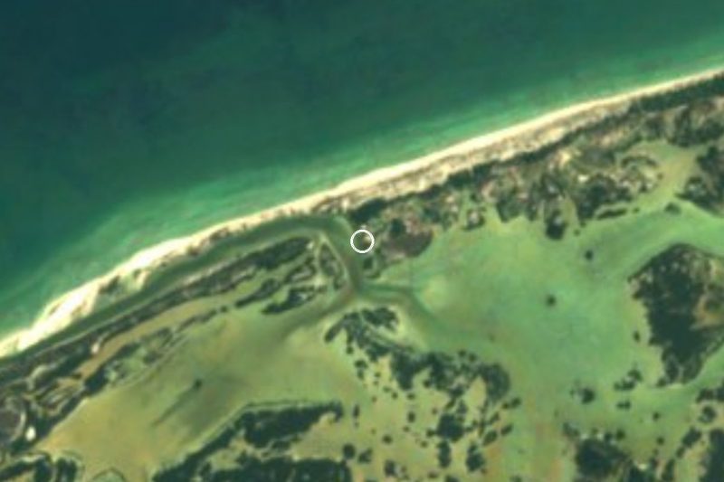
Chuburná Puerto is a fishing village on Yucatán's north coast, the westernmost comisaría of Progreso municipality, between Chelem and Sisal. It lies about 10 km west of Progreso along the coast road and roughly 55 km from Mérida. Like Chelem, it stands on the narrow strip of sand between the Gulf of Mexico and the ciénaga, the shallow lagoon and mangrove swamp behind the coast. The name comes from the Maya chubul naah, usually read as 'house of yellow cotton', though some translate it as 'place where the houses flood'.
It is one of the oldest settlements in the municipality. In 1663 the governor Juan Francisco Esquivel y de la Rosa named Chuburná and Chicxulub coastal watch towns, charged with spotting pirates sailing from the Laguna de Términos, and there are remains of Maya settlement in the surroundings. For a long time people here lived from fishing and salt; after Hurricane Gilberto struck on 14 September 1988 and wrecked the salt works, the village turned increasingly to tourism. It has grown from 110 people in 1900 to 1,720 in 2005 and 2,874 at the 2020 census, and it fills up in the summer holidays.
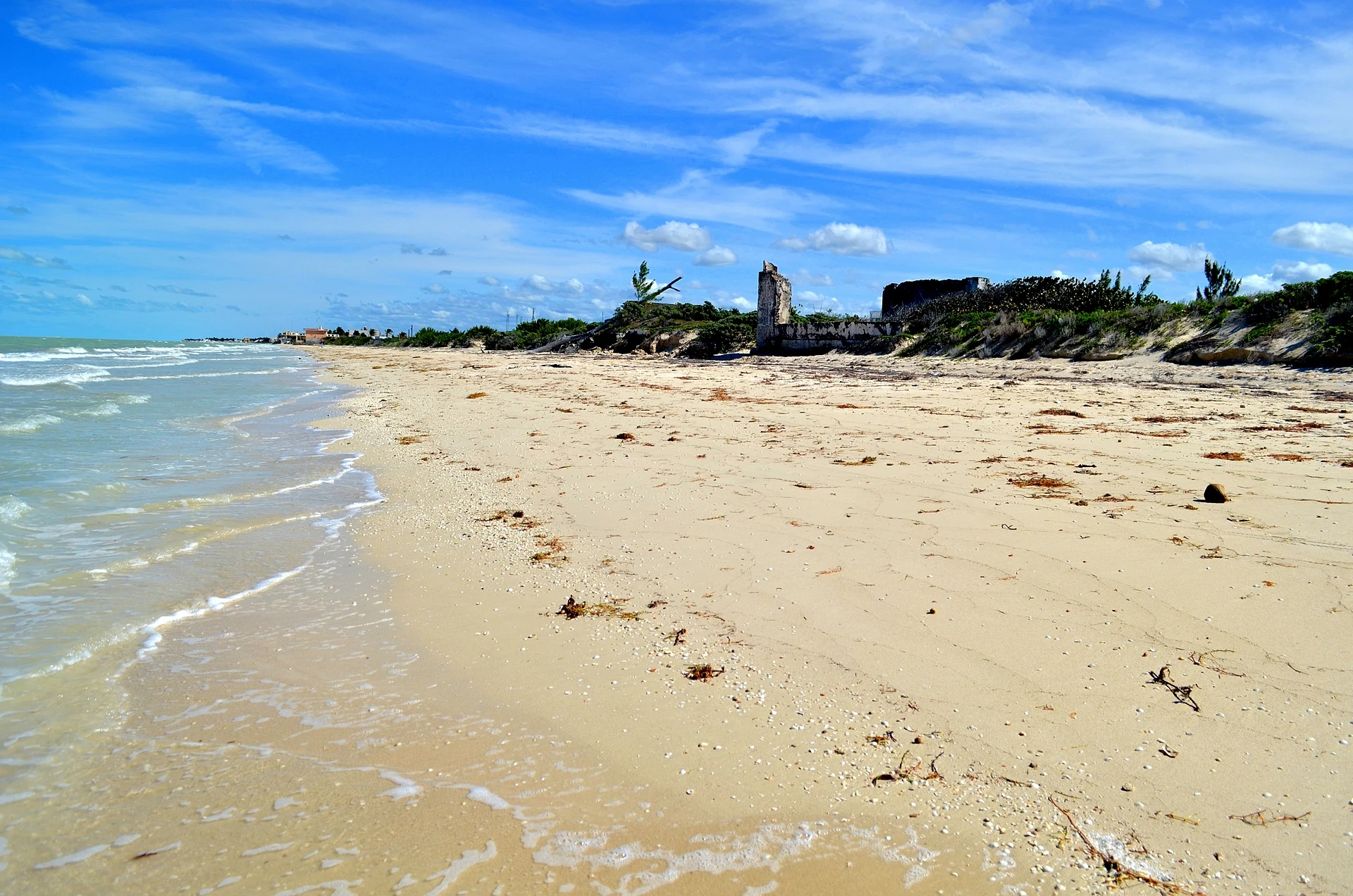
The beach is wide and white with shallow, calm, turquoise water, and the dunes that formed after Gilberto are used for camping and sunset watching. Behind the village, the fishermen's sheltered harbour, the Puerto de Abrigo, is the base for cooperative boats that take visitors through the mangroves, to the Boca de la Carbonera wetland and the Dzul Ha petén, and to Isla Columpios, the sandbank with swings in the lagoon. Flamingos appear in the lagoon in some seasons, and small family restaurants serve fish, shrimp and oysters.
How to get to Chuburná Puerto
Drive from Mérida: 50 min, 52 km
From Mérida take Federal Highway 261 north toward Progreso. Before reaching the port, take the turnoff for Chelem, come down from the bridge onto Calle 15, turn left and keep straight west through Chelem to Chuburná Puerto: about 55 km and 40 minutes from Mérida, 20 minutes from Progreso. By public transport, take an Autoprogreso bus from Mérida to Progreso, then a colectivo from Calle 29 and 82 in Progreso to Chuburná.
Directions to Chuburná Puerto on Google Maps
Distances are in a straight line; the road is usually longer.
Links open a partner site. We may earn a commission if you book, at no cost to you.
From the nearest cities to Chuburná Puerto
- Mérida · 52 km by road, 50 min
- Campeche · 212 km by road, 2 h 50 min
- Valladolid · 213 km by road, 2 h 50 min
Drive times by road from OpenStreetMap, without traffic or stops. Times marked ~ are estimated from the straight-line distance.
Before you go to Chuburná Puerto: hours, prices and tips
- Best time of day
- Summer is the busiest season; flamingos show up in the lagoon only at certain times of year. Wikipedia / Diario de Yucatán · checked Oct 2026
- What to bring
- Bring cash: the small seafood places and boat cooperatives in the village may not take cards. Diario de Yucatán · checked Oct 2026
Hours and prices change, especially around holidays. Each fact links to where we checked it.
Visiting Chuburná Puerto: what to see and do
Swim in the shallow, calm water off the long white beach.
Take a cooperative boat from the Puerto de Abrigo to Isla Columpios, about 20 minutes across the lagoon.
Kayak or go by boat through the mangroves to the Boca de la Carbonera wetland and the Dzul Ha petén.
Camp or watch the sunset on the dunes that formed after Hurricane Gilberto.
Eat fish, shrimp and oysters at a family restaurant in the village.
Plan your trip
Places to stay in Chuburná Puerto
Compare hotels, posadas, and rentals in and around Chuburná Puerto.
Tours & activities
Day trips and guided outings from Sisal often include Chuburná Puerto; with a local guide you can get there without a car.
Rental cars
Pick up a car at MID (Mérida): about 1 h 7 min by road to Sisal, then 24 km more to Chuburná Puerto, on your own schedule.
Flights
The nearest airport with scheduled flights is Mérida (MID), about 1 h 7 min by road from Sisal, the base for Chuburná Puerto.
Mobile data
Signal can drop away from Sisal: download a map of the way to Chuburná Puerto before you set out, or carry an eSIM with data.
Links open a partner site. We may earn a commission if you book, at no cost to you.
Photos
When to go to Chuburná Puerto warm
Chuburná Puerto shares the climate of Sisal, 24 km away. The best months to visit are January, February, November, and December.
See the month-by-month climate of Sisal
Weather in Chuburná Puerto now and the next 7 days
Live forecast from Open-Meteo. Chance of rain is the day's highest.
The closest Pueblo Mágico: Sisal

Sisal is the Pueblo Mágico closest to Chuburná Puerto, with places to stay, food, and more to see.
Also close to
- Motul · Yucatán · 58 km away
Closest to Chuburná Puerto
-
Isla Columpios · Island · 3 km away
-
Chelem · Village · 8 km away
-
La Carbonera · Nature reserve · 8 km away
-
Yucalpetén · Landmark · 12 km away
-
Muelle de Progreso · Landmark · 16 km away
-
Progreso · City · 16 km away
-
Dzidzilché · Village · 17 km away
-
Malecón de Progreso · Landmark · 17 km away


Near Chuburná Puerto
-
El Corchito · Nature reserve · Yucatán
30 min: drive to El Corchito landing, Progreso, then 5 min by boat


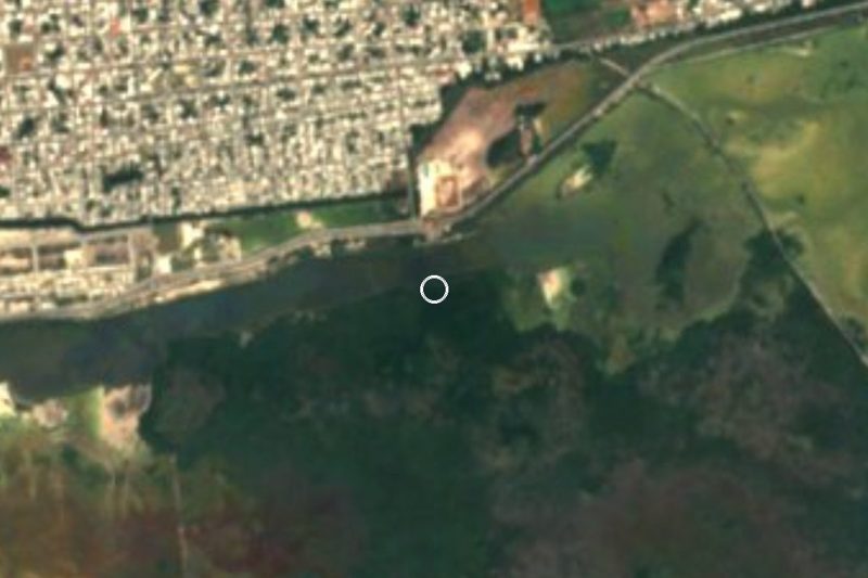


Drive times by road from OpenStreetMap, without traffic. Times marked ~ are estimated from the straight-line distance.
Location from OpenStreetMap. Written by Puebloteca.