A region of Yucatán
The stretch of Yucatán's north coast from Progreso east to Dzilam de Bravo: Mérida's summer beaches, fishing ports, pink salt lagoons, mangroves and the Maya salt port of Xcambó.
43 places to visit
Map
Places to visit in Costa Esmeralda (Yucatán) 43
43 places with their own page, grouped by kind.
Villages · 27 Landmarks and museums · 4 Towns · 4 Islands · 2 Nature reserves · 2 Beaches · 1 Cities · 1 Lagoons · 1 Archaeological sites · 1
Villages
-
Cansahcab · Village · Yucatán
Henequen-country town east of Motul with a 17th-century Franciscan church, a Santa Cruz chapel and lively September and October fiestas. -
Chabihau · Village · Yucatán
Small fishing port on Yucatán's north coast, the seaside village of Yobaín, with a quiet beach, mangroves behind it and a minor Maya site nearby. -
Chelem · Village · Yucatán
A low-key fishing village just west of Progreso, with a free white-sand beach, seafood shacks and boat trips on the lagoon behind it. -
Chenché de las Torres · Village · Yucatán
Hacienda village near Temax whose main house was remodelled as a mock medieval castle with two towers; seen from the road, as the house is private. -
Chicxulub Pueblo · Village · Yucatán
Henequen-country town 20 km north-east of Mérida that gave its name to the dinosaur-killing crater, with a 17th-century church of Santiago. -
Chicxulub Puerto · Village · Yucatán
A beach village just east of Progreso that sits near the centre of the crater left by the asteroid that wiped out the dinosaurs 66 million years ago. -
Chuburná Puerto · Village · Yucatán
A small fishing and beach village west of Progreso, with shallow calm water, dunes and boat trips into the lagoon and mangroves to Isla Columpios. -
Chucmichén · Village · Yucatán
Former Cámara family henequen hacienda north of Temax, where Maya statues were found in the 1920s; the restored casco is now a private estate. -
Dzemul · Village · Yucatán
Henequen town between Motul and the coast, known for its twin-towered 17th-century parish and the December feast of the Virgen de la Expectación. -
Dzilam de Bravo · Village · Yucatán
Fishing port at the end of the coast road, base for boat trips to the springs, mangroves and empty beaches of the Dzilam reserve, and Lafitte's supposed grave. -
Dzoncauich · Village · Yucatán
A quiet farming town southeast of Temax with a 17th-century church of San Juan Bautista and a lively vaquería at its yearly fiesta. -
Ixil · Village · Yucatán
A farming town northeast of Mérida known for its small onions and the Chilam Balam de Ixil, with a 17th-century church to San Bernabé. -
Kancabchén Ucí · Village · Yucatán
A tiny former henequen hacienda north of Motul, later a lime plantation, reached by a 4 km walk or bike ride from the road to Telchac Pueblo. -
Kiní · Village · Yucatán
Motul's largest comisaría, a farming village northwest of Motul whose church of San Mateo hosts a big procession for the Assumption every 15 August. -
Komchén Martínez · Village · Yucatán
A hamlet of about a hundred people north of Motul, gathered around the church, park and buildings of an old hacienda named after its owner. -
Sacapuc · Village · Yucatán
A quiet farming village northwest of Motul with a main church, a small park and the remains of its old hacienda. -
San Antonio Cámara · Village · Yucatán
Village between Temax and Buctzotz built around a henequen hacienda of the Cámara family, with its old casco, chapel and chimney still standing. -
San Ignacio · Village · Yucatán
A former henequen hacienda off the Mérida–Progreso highway, with a red neo-Gothic church, the old machine house and a main house used in the film Casta Divina. -
San José Hilí · Village · Yucatán
A small hacienda village west of Motul whose arcaded henequen-era buildings still frame the settlement of about 300 people. -
San Pedro Chacabal · Village · Yucatán
A growing farming village east of Motul, with its main church and the stone walls and buildings of its former hacienda. -
Sinanché · Village · Yucatán
Henequen-belt village near the north coast with a 17th-century church of San Buenaventura and a July fiesta with bullfights and vaquerías. -
Telchac Pueblo · Village · Yucatán
Inland farming town on the road from Motul to the coast, with a late 17th-century church and a big fiesta for Saint Francis each October. -
Timul · Village · Yucatán
A former henequen hacienda village in the far northwest of Motul municipality, where the estate's chimney and stone walls still stand. -
Toó · Village · Yucatán
A tiny former henequen hacienda village between Ixil and Mocochá, where the old stone walls, gate and chimney of the estate still stand. -
Ucí · Village · Yucatán
A village just north of Motul built beside an ancient Maya city, where an 18 km stone causeway once set out east toward Cansahcab. -
Xbec · Village · Yucatán
Former henequen hacienda turned farming village near Buctzotz, with a small church and plaza on the way to the Dzilam coast. -
Yobaín · Village · Yucatán
Quiet north-coast village between Sinanché and Dzidzantún, with a colonial church of San Lorenzo and its own beach village, Chabihau.


Landmarks and museums
-
Malecón de Progreso · Landmark · Yucatán
Progreso's car-free seafront on Calle 19: a kilometer of beach, seafood restaurants, the Meteorite Museum and evening music by the Gulf. -
Muelle de Progreso · Landmark · Yucatán
Progreso's arched concrete pier runs about 8 km out into the shallow Gulf, certified by Guinness in 2023 as the longest pier in the world. -
Museo del Meteorito · Landmark · Yucatán
A museum on Progreso's malecón about the Chicxulub asteroid impact and Earth's five mass extinctions, with fossils, projections and moving dinosaurs. -
Yucalpetén · Landmark · Yucatán
Progreso's sheltered harbour, opened in 1968: fishing fleets, shipyards and some 36 marinas between the port and Chelem.


Towns
-
Buctzotz · Town · Yucatán
Cattle town in northeastern Yucatán with an orange-red church of San Isidro Labrador, a big January fiesta and over a hundred cenotes in its municipality. -
Dzidzantún · Town · Yucatán
North-coast town whose 16th-century Franciscan church of Santa Clara is the longest single-nave colonial church in Mexico, with restored murals. -
Dzilam González · Town · Yucatán
Farming town on the road to Dzilam de Bravo with a large Maya mound right in town and a June fiesta for San Antonio de Padua. -
Temax · Town · Yucatán
Old henequen town east of Motul with a twin-towered parish and former convent of San Miguel Arcángel and four colonial chapels.


Islands
-
Isla Columpios · Island · Yucatán
A sandbank in the lagoon behind Chuburná Puerto with swings and hammocks over knee-deep turquoise water, reached by cooperative boats. -
Isla Pájaros · Island · Yucatán
A sandy seabird islet in the Arrecife Alacranes reef, far out in the Gulf; it is closed to tourists, who can only land on nearby Isla Pérez.


Nature reserves
-
Arrecife Alacranes · Nature reserve · Yucatán
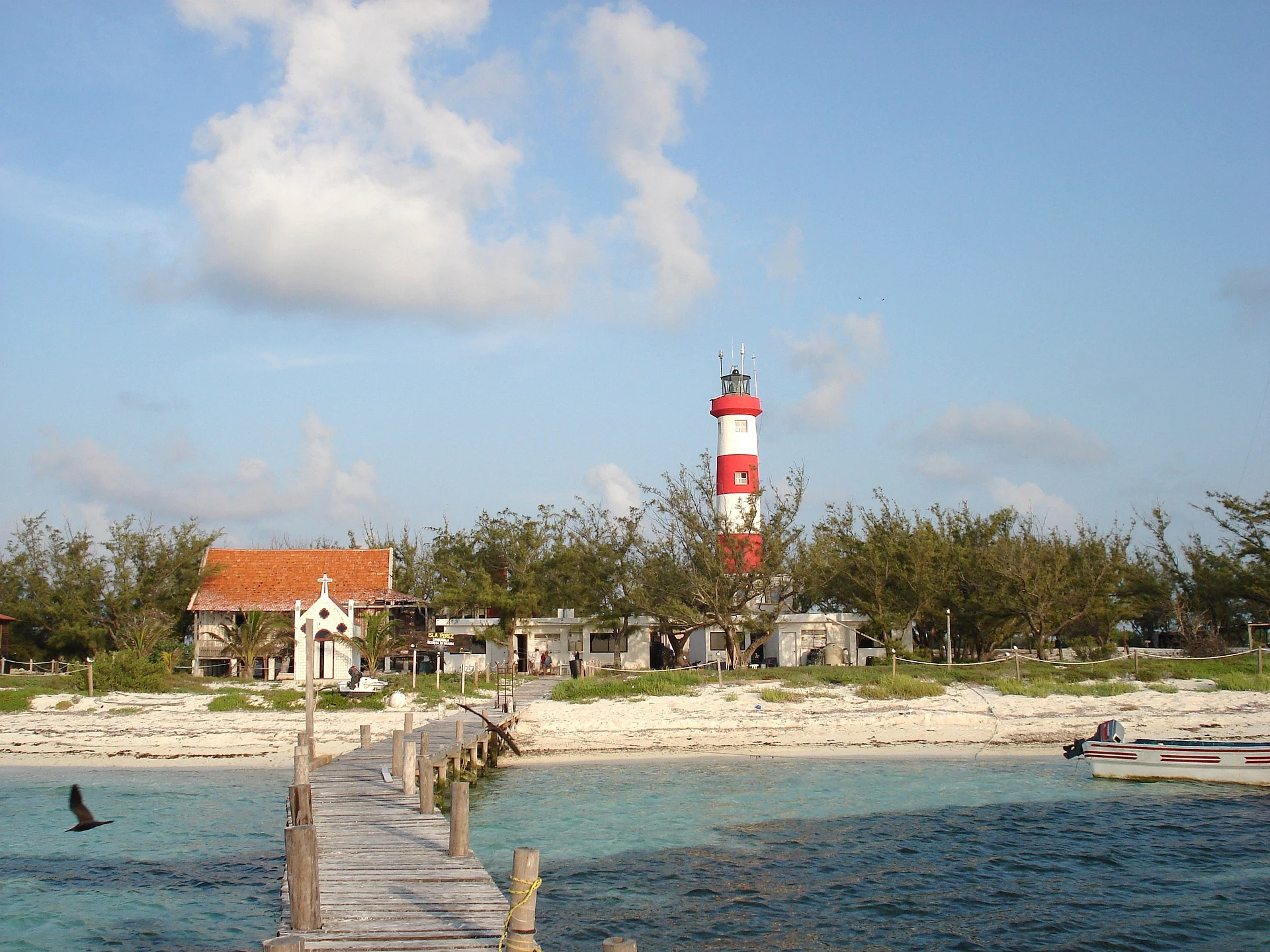
The biggest coral reef in the southern Gulf of Mexico, a national park far off Progreso with five sandy islets, a lighthouse and diving on a remote reef. -
El Corchito · Nature reserve · Yucatán
A small mangrove reserve on the edge of Progreso, reached by a five-minute boat ride, with three clear freshwater pools to swim in and tame raccoons.

Beaches
-
Santa Clara · Beach · Yucatán
Tiny fishing and salt-making port of Dzidzantún with a quiet beach, pink salt ponds and a July boat procession for Saint Clare.

Cities
-
Progreso · City · Yucatán
Mérida's seaside port, with a record-long pier, a pedestrian malecón, a 19th-century lighthouse and a wide Gulf beach 35 km from the capital.

Lagoons
-
Xtampú · Lagoon · Yucatán
Pink salt ponds on the coast near Telchac where salt is still harvested by hand, with flamingos often feeding in the background.

Archaeological sites
-
Xcambó · Archaeological site · Motul
A Maya salt-trading port near the coast, with a small colonial chapel on its plaza and flamingos often in nearby lagoons.

Top tours in Costa Esmeralda (Yucatán)


Tours, prices and ratings from Viator, checked weekly. We may earn a commission if you book.
Getting around Costa Esmeralda (Yucatán)
Fly into Mérida (MID).
Cities to start from: Mérida
Most of the region is reached by road: a rental car is the easiest way to see several places in a day, and buses link the larger towns.
By boat or on foot from Progreso: Arrecife Alacranes, Isla Pájaros.
Also by boat or on foot (each page says from where): El Corchito, Isla Columpios.