

Landmark Progreso, Yucatán Municipality of Progreso Costa Esmeralda (Yucatán)
Progreso's sheltered harbour, opened in 1968: fishing fleets, shipyards and some 36 marinas between the port and Chelem.
From Mérida: 40 min by car (41 km by road) How to get there ↓
Near here
See everything nearby ↓


Plan your visit to Yucalpetén
Where to stay near Yucalpetén
Compare hotels, posadas and guest houses in Yucalpetén.
Tours to Yucalpetén
Look for tours of the area around Sisal that stop at Yucalpetén.
 Beach Tour in Yucalpetén from Mérida
★ 5.0 (3) · From US$100
How to get to Yucalpetén
- From Mérida: about 40 min by road (~41 km)
- Nearest airport: Mérida (MID), 1 h 7 min by car to Sisal
Links open a partner site. We may earn a commission if you book, at no cost to you.
Popular tours to Yucalpetén
Tours, prices and ratings from Viator, checked weekly. We may earn a commission if you book.
About Yucalpetén
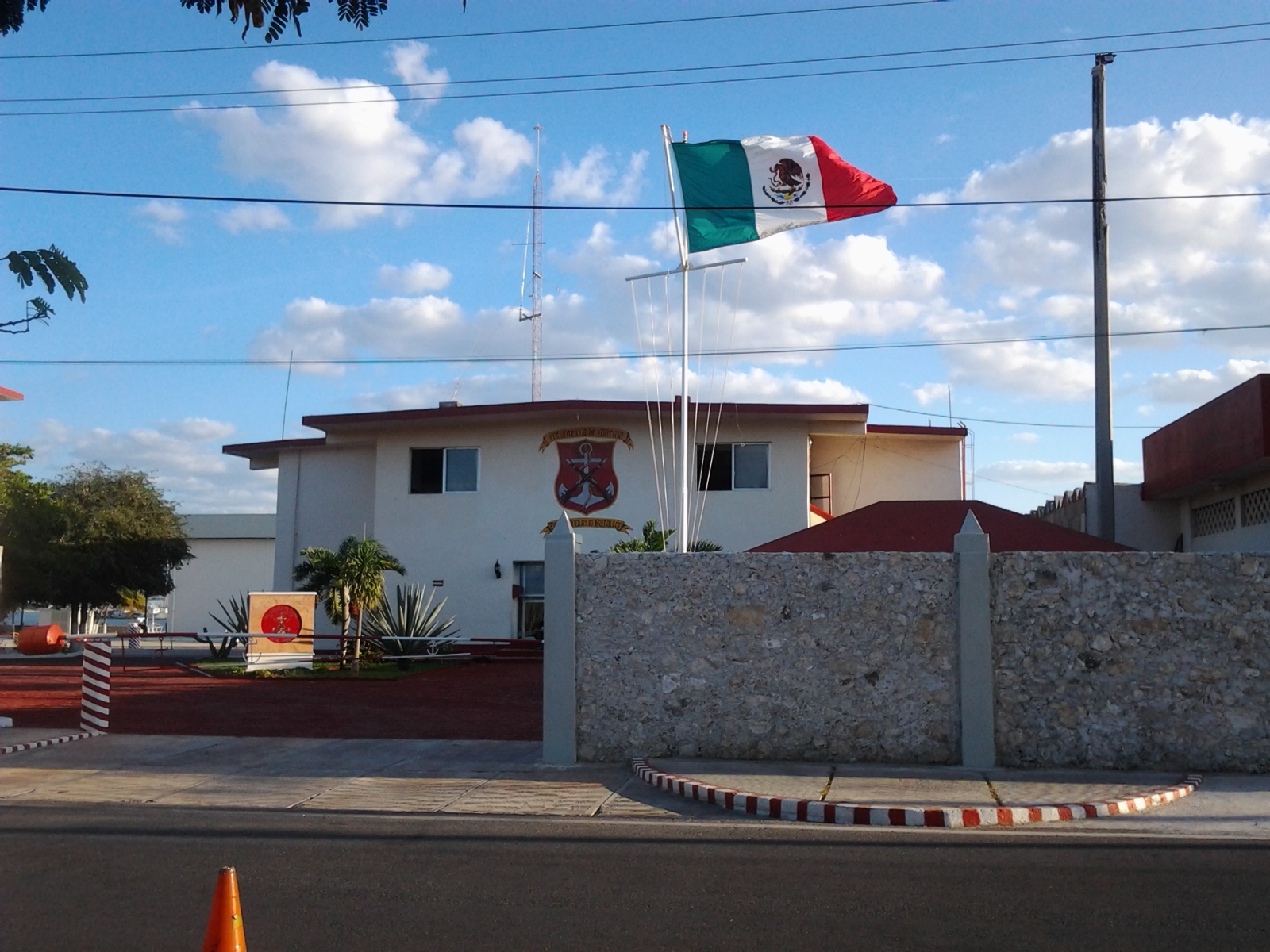
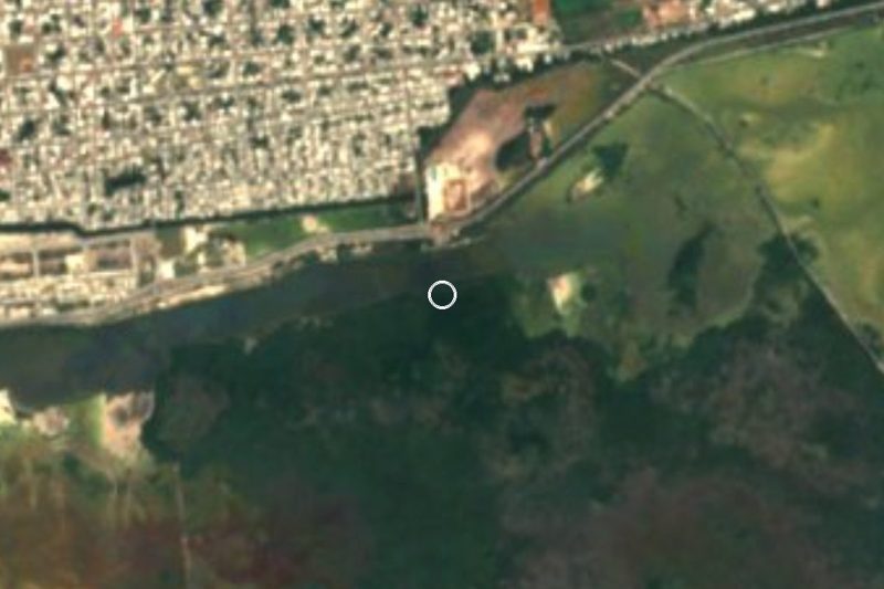
Yucalpetén is the puerto de abrigo, the sheltered harbour, on the western edge of Progreso, the port 36 kilometers north of Mérida. A channel through the beach, guarded by two breakwaters with small lighthouses, leads from the Gulf of Mexico into the inner basins behind the coast. The harbour lies between Progreso proper and the fishing village of Chelem, and the coast road to Chelem runs past it. The neighbourhood around its eastern side, also called Yucalpetén, has a navy base, the IX Zona Naval, and the Costa Club ISSTEY, a seaside holiday center of the state workers' institute.
Until the 1960s, fishermen on this coast kept their boats on the beach, where northers and hurricanes regularly smashed them. The harbour was built to give them a refuge: President Gustavo Díaz Ordaz opened its first stage on 1 June 1968, together with a cold-storage plant and a sculpture of a sailor reaching shore, called Angustia, in the plaza of the administrative area. In 1994 it was upgraded to a port for deep-sea and coastal shipping, with space for large fishing vessels and marinas for pleasure boats. It is also where boats from all along the coast run for shelter when a hurricane approaches.
Today the harbour has two faces. The industrial side, the Parque Industrial, holds about a dozen fish-processing plants, seven shipyards, ice factories and fuel docks, some of them run-down; a stretch of old dock collapsed in 2022. The tourist side, on the east next to the city, got new docks in a federal project finished in 2021, and recreational boating has boomed: by early 2026 an estimated 36 marinas held around 4,000 boats, and the town promotes sport fishing trips from here. Silting is a recurring problem, and deep-keeled sailboats sometimes run aground in the channel at low tide. For a visitor it is less a sight than a working waterfront: a place to watch the fleet, charter a fishing trip or set out on the water.
How to get to Yucalpetén
Drive from Mérida: 40 min, 41 km
From Mérida take federal highway 261 north to Progreso, about 36 km. Before reaching the center of Progreso, take the turnoff toward Chelem: the road runs past the harbour on its way west. Buses from Mérida to Progreso leave from the Autoprogreso terminal on Calle 62 between 65 and 67; from Progreso, a taxi to Yucalpetén is a short ride.
Directions to Yucalpetén on Google Maps
Distances are in a straight line; the road is usually longer.
Links open a partner site. We may earn a commission if you book, at no cost to you.
From the nearest cities to Yucalpetén
- Mérida · 41 km by road, 40 min
- Valladolid · 201 km by road, 2 h 40 min
- Campeche · 210 km by road, 2 h 40 min
Drive times by road from OpenStreetMap, without traffic or stops. Times marked ~ are estimated from the straight-line distance.
Before you go to Yucalpetén: hours, prices and tips
- Best season
- When a hurricane or tropical storm threatens, boats from along the coast crowd into the harbour for shelter. Diario de Yucatán (Jul 2026) · checked Oct 2026
Hours and prices change, especially around holidays. Each fact links to where we checked it.
Visiting Yucalpetén: what to see and do
Watch fishing boats and yachts pass through the channel between the breakwaters.
Look at the marinas on the harbour's east side, rebuilt in 2019–2021.
Charter a sport-fishing trip from one of the marinas.
Drive the coast road west toward Chelem past the harbour and its shipyards.
Plan your trip
Places to stay in Yucalpetén
Compare hotels, posadas, and rentals in and around Yucalpetén.
Tours & activities
Look for tours of the area around Sisal that stop at Yucalpetén.
Rental cars
Pick up a car at MID (Mérida): about 1 h 7 min by road to Sisal, then 36 km more to Yucalpetén, on your own schedule.
Flights
The nearest airport with scheduled flights is Mérida (MID), about 1 h 7 min by road from Sisal, the base for Yucalpetén.
Mobile data
Signal can drop away from Sisal: download a map of the way to Yucalpetén before you set out, or carry an eSIM with data.
Links open a partner site. We may earn a commission if you book, at no cost to you.
Photos
When to go to Yucalpetén warm
Yucalpetén shares the climate of Sisal, 36 km away. The best months to visit are January, February, November, and December.
See the month-by-month climate of Sisal
Weather in Yucalpetén now and the next 7 days
Live forecast from Open-Meteo. Chance of rain is the day's highest.
The closest Pueblo Mágico: Sisal

Sisal is the Pueblo Mágico closest to Yucalpetén, with places to stay, food, and more to see.
Also close to
- Motul · Yucatán · 48 km away
Closest to Yucalpetén
-
Chelem · Village · 4 km away
-
Muelle de Progreso · Landmark · 4 km away
-
Progreso · City · 4 km away
-
Malecón de Progreso · Landmark · 5 km away
-
Museo del Meteorito · Landmark · 5 km away
-
El Corchito · Nature reserve · 6 km away
-
Chicxulub Puerto · Village · 10 km away
-
Chuburná Puerto · Village · 12 km away


Near Yucalpetén


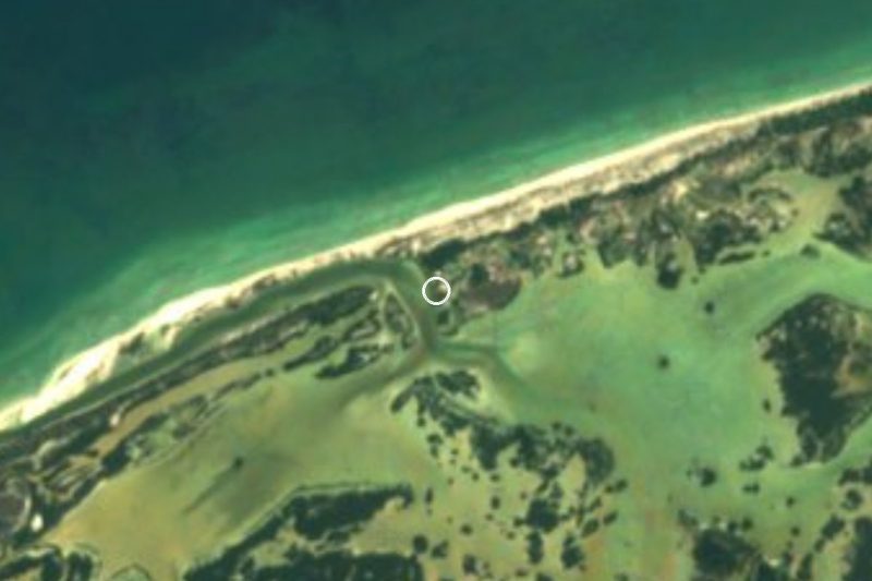


Drive times by road from OpenStreetMap, without traffic. Times marked ~ are estimated from the straight-line distance.
Location from OpenStreetMap. Written by Puebloteca.