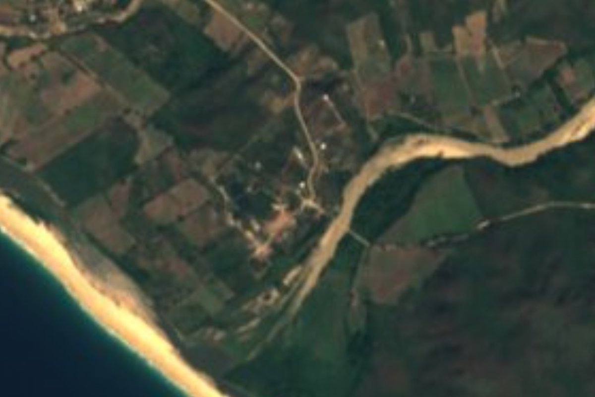
Village Cabo Corrientes, Jalisco Municipality of Cabo Corrientes Banderas Bay
Tiny farming and fishing ranchería on the open Pacific coast of Cabo Corrientes, a few kilometers north of Mayto beach.
From Puerto Vallarta: 1 h 50 min by car (88 km by road) How to get there ↓
Near here
See everything nearby ↓


Plan your visit to Aquiles Serdán
Where to stay near Aquiles Serdán
Compare hotels, posadas and guest houses in Aquiles Serdán.
Tours to Aquiles Serdán
Day trips and guided outings from Sayulita often include Aquiles Serdán; with a local guide you can get there without a car.
 Tours from Puerto Vallarta
Winner 2026 Downtown Vallarta Food Tour with Vallarta Food Tours
★ 5.0 (3,971) · From US$59
How to get to Aquiles Serdán
- From Puerto Vallarta: about 1 h 50 min by road (~88 km)
- Nearest airport: Puerto Vallarta (PVR), 41 min by car to Sayulita
Links open a partner site. We may earn a commission if you book, at no cost to you.
Tours from Puerto Vallarta, near Aquiles Serdán


Tours, prices and ratings from Viator, checked weekly. We may earn a commission if you book.
About Aquiles Serdán
Aquiles Serdán is a small ranchería on the Pacific side of Cabo Corrientes, Jalisco, on the low coastal plain about 900 m back from the sea and less than 10 m above it. It lies roughly 7 km north-west of Mayto, about 31 km west of El Tuito in a straight line, on the dirt road network that fans out from El Tuito to the villages of the southern Cabo Corrientes coast. Like many Mexican settlements it is named after Aquiles Serdán, the Puebla revolutionary killed in 1910 at the start of the Mexican Revolution. The intermittent Río Tecolotlán reaches the sea just south of the village.
It is a very small place: 128 inhabitants at the 2020 census, up from 79 in 2005 and 125 in 2010. Houses spread along a handful of dirt streets, with a kindergarten and a primary school, and the neighbouring hamlet of Naranjitos, with its own small schools, sits about 1.3 km to the north-west. Connections are thin: at the last census only about half the homes had a mobile phone and around one in eight had internet.
There is nothing set up for tourists in the village itself, but it is a quiet base on one of the wildest stretches of the Jalisco coast. The long golden beach of Mayto, with its sea-turtle camp run by the University of Guadalajara, is a short drive south, and beyond it are the sheltered bay of Tehuamixtle and the estuary at Villa del Mar and Ipala. Bring cash: there are no banks or ATMs anywhere on this coast.
How to get to Aquiles Serdán
Drive from Puerto Vallarta: 1 h 50 min, 88 km
From Puerto Vallarta drive south on Highway 200 to El Tuito, about 40 winding kilometers, then take the dirt road west from the crossroads toward the coast; Aquiles Serdán is about 40 km from El Tuito, roughly an hour's drive, and about 10 km by road north of Mayto. Buses to El Tuito leave from Carranza and Aguacate in Puerto Vallarta's Zona Romántica. One bus a day runs from El Tuito's plaza to the coast at Mayto, Tehuamixtle and Villa del Mar at about 2 pm (about 50 pesos), returning around 7 am; a taxi from El Tuito to Mayto costs about 450 to 500 pesos.
Directions to Aquiles Serdán on Google Maps
Distances are in a straight line; the road is usually longer.
Links open a partner site. We may earn a commission if you book, at no cost to you.
From the nearest cities to Aquiles Serdán
- Puerto Vallarta · 88 km by road, 1 h 50 min
- Autlán · about 185 km by road, ~2 h 45 min
- Manzanillo · 275 km by road, 4 h
Drive times by road from OpenStreetMap, without traffic or stops. Times marked ~ are estimated from the straight-line distance.
Before you go to Aquiles Serdán: hours, prices and tips
- Best season
- Warm all year, about 25.7 °C on average, with about 1,100 mm of rain a year; September is the wettest month and January the coolest. PueblosAmerica · checked Oct 2026
- What to bring
- Bring cash: credit cards are not accepted and there are no banks or ATMs on the southern Cabo Corrientes coast; the nearest ATM is in El Tuito. Mexico Guru · checked Oct 2026
Hours and prices change, especially around holidays. Each fact links to where we checked it.
Visiting Aquiles Serdán: what to see and do
See a quiet ranchería of the remote Cabo Corrientes coast, far from any resort.
Walk Mayto's long golden beach, a short drive south, and watch the sunset over the open Pacific.
Join a hatchling release at the Mayto sea-turtle camp in season.
Eat fish and oysters by the sheltered bay of Tehuamixtle.
Plan your trip
Places to stay in Aquiles Serdán
Compare hotels, posadas, and rentals in and around Aquiles Serdán.
Tours & activities
Day trips and guided outings from Sayulita often include Aquiles Serdán; with a local guide you can get there without a car.
Rental cars
Pick up a car at PVR (Puerto Vallarta): about 41 min by road to Sayulita, then 66 km more to Aquiles Serdán, on your own schedule.
Flights
The nearest airport with scheduled flights is Puerto Vallarta (PVR), about 41 min by road from Sayulita, the base for Aquiles Serdán.
Mobile data
Signal can drop away from Sayulita: download a map of the way to Aquiles Serdán before you set out, or carry an eSIM with data.
Links open a partner site. We may earn a commission if you book, at no cost to you.
When to go to Aquiles Serdán warm
Aquiles Serdán shares the climate of Sayulita, 66 km away. The best months to visit are March, April, May, and November.
See the month-by-month climate of Sayulita
Weather in Aquiles Serdán now and the next 7 days
Live forecast from Open-Meteo. Chance of rain is the day's highest.
The closest Pueblo Mágico: Sayulita

Sayulita is the Pueblo Mágico closest to Aquiles Serdán, with places to stay, food, and more to see.
Closest to Aquiles Serdán
-
Mayto · Beach · 7 km away
-
Tehuamixtle · Village · 8 km away
-
Villa del Mar · Village · 11 km away
-
Ipala · Village · 12 km away
-
Cabo Corrientes · Nature reserve · 14 km away
-
La Sauceda · Village · 15 km away
-
El Refugio Suchitlán · Village · 18 km away
-
Chimo · Village · 19 km away
Near Aquiles Serdán

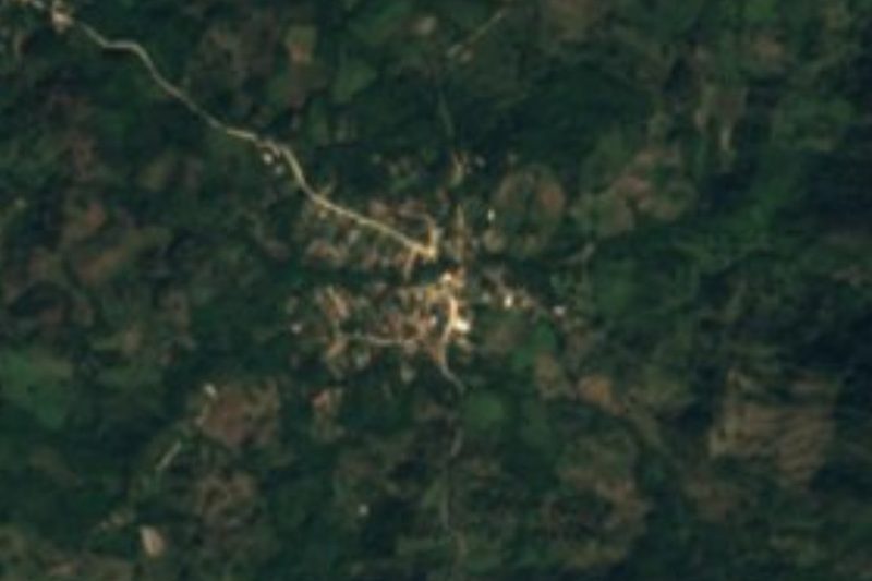
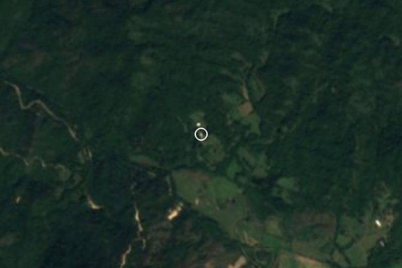
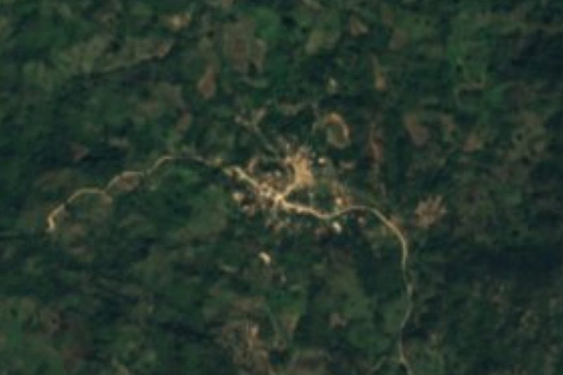


Drive times by road from OpenStreetMap, without traffic. Times marked ~ are estimated from the straight-line distance.
Location from OpenStreetMap. Written by Puebloteca.