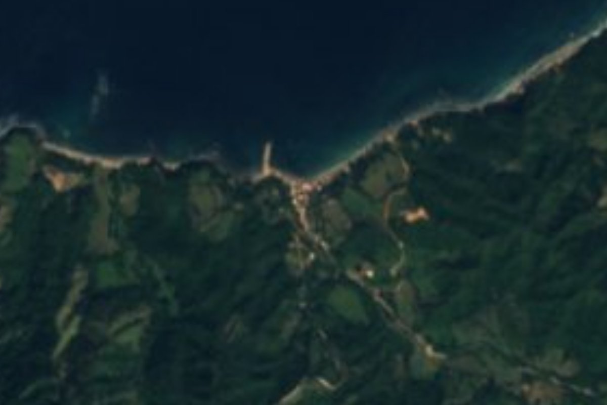
Village Cabo Corrientes, Jalisco Municipality of Cabo Corrientes Banderas Bay
Remote fishing village on the south shore of Banderas Bay, west of Yelapa, where a dirt road from the sierra finally meets the sea.
From Puerto Vallarta: 2 h 5 min by car (99 km by road) How to get there ↓
Near here
See everything nearby ↓


Plan your visit to Chimo
Where to stay near Chimo
Compare hotels, posadas and guest houses in Chimo.
Tours to Chimo
Day trips and guided outings from Sayulita often include Chimo; with a local guide you can get there without a car.
 Tours from Puerto Vallarta
Winner 2026 Downtown Vallarta Food Tour with Vallarta Food Tours
★ 5.0 (3,971) · From US$59
How to get to Chimo
- From Puerto Vallarta: about 2 h 5 min by road (~99 km)
- Nearest airport: Puerto Vallarta (PVR), 41 min by car to Sayulita
Links open a partner site. We may earn a commission if you book, at no cost to you.
Tours from Puerto Vallarta, near Chimo


Tours, prices and ratings from Viator, checked weekly. We may earn a commission if you book.
About Chimo
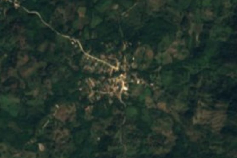
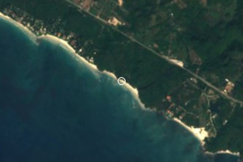
Chimo is a small fishing village on the southern shore of Banderas Bay, in the Jalisco municipality of Cabo Corrientes. It sits on a cove at the mouth of the Arroyo El Limón, roughly 15 km west of Yelapa along a coast of steep, forested mountains, at the point where the bay begins to open toward the cape of Cabo Corrientes and the open Pacific. It is far from everything: about two and a half hours by sea from Puerto Vallarta and around three hours by dirt road from El Tuito, the municipal seat.
The village had 221 inhabitants at the 2020 census, down from 285 in 2005, and local accounts put it at roughly 250 to 300 people. Almost everyone lives from the sea. Fishermen go out in pangas, some dive for octopus, and the catch is sold where they can, which is why residents keep asking for the pier that was started before 2000 and left about half built. Services are basic: there is a small health center, but anything serious means a 30-minute boat ride to Yelapa or a long taxi ride up the rural road to El Refugio. In 2019 Tropical Storm Narda pushed the El Limón stream over its banks and carried away ten houses.
For visitors Chimo is a place for quiet, not for sights. The beach is small and sheltered, there are a couple of simple seafood restaurants on the sand, and the surroundings are wild, with forested hills dropping to the water and good fishing offshore. Most outsiders arrive on chartered boats or fishing trips from Puerto Vallarta, so plan to be self-sufficient and bring cash.
How to get to Chimo
Drive from Puerto Vallarta: 2 h 5 min, 99 km
By sea: Chimo is about two and a half hours by boat from Puerto Vallarta, and most visitors come on chartered boats or fishing trips from Marina Vallarta (a full round trip takes most of a day). From Yelapa a panga takes about 30 minutes. By land: take Highway 200 south from Puerto Vallarta to El Tuito (about 40 km), then dirt roads west through the sierra by way of El Refugio; locals count about three hours from El Tuito, and a high-clearance vehicle and dry weather help.
Directions to Chimo on Google Maps
Distances are in a straight line; the road is usually longer.
Links open a partner site. We may earn a commission if you book, at no cost to you.
From the nearest cities to Chimo
- Puerto Vallarta · 99 km by road, 2 h 5 min
- Autlán · about 195 km by road, ~2 h 55 min
- Manzanillo · 287 km by road, 4 h 15 min
Drive times by road from OpenStreetMap, without traffic or stops. Times marked ~ are estimated from the straight-line distance.
Before you go to Chimo: hours, prices and tips
- Best season
- Warm all year, about 25.6 °C on average, with about 1,000 mm of rain a year; September is the wettest month and February the coolest. PueblosAmerica · checked Oct 2026
- Guide or tour
- No guide is needed, but most visitors arrive on a chartered boat or fishing trip from Puerto Vallarta, booked for a full day. Tours: Viator GetYourGuide PV Fishing and Sailing · checked Oct 2026
- What to bring
- Services are rustic and there are only a few restaurants; medical care is minimal, with serious cases sent by boat to Yelapa. Bring what you need. UDG TV · checked Oct 2026
Hours and prices change, especially around holidays. Each fact links to where we checked it.
Visiting Chimo: what to see and do
Spend a day on the small, sheltered beach, far from the crowds of the bay.
Eat fresh fish and seafood at the simple restaurants on the sand.
Go out fishing with local fishermen or on a charter from Puerto Vallarta.
Take in the wild, forested coast where the bay opens toward Cabo Corrientes.
Stop on the way back at Yelapa, about 30 minutes east by boat.
Plan your trip
Places to stay in Chimo
Compare hotels, posadas, and rentals in and around Chimo.
Tours & activities
Day trips and guided outings from Sayulita often include Chimo; with a local guide you can get there without a car.
Rental cars
Pick up a car at PVR (Puerto Vallarta): about 41 min by road to Sayulita, then 47 km more to Chimo, on your own schedule.
Flights
The nearest airport with scheduled flights is Puerto Vallarta (PVR), about 41 min by road from Sayulita, the base for Chimo.
Mobile data
Signal can drop away from Sayulita: download a map of the way to Chimo before you set out, or carry an eSIM with data.
Links open a partner site. We may earn a commission if you book, at no cost to you.
When to go to Chimo warm
Chimo shares the climate of Sayulita, 47 km away. The best months to visit are March, April, May, and November.
See the month-by-month climate of Sayulita
Weather in Chimo now and the next 7 days
Live forecast from Open-Meteo. Chance of rain is the day's highest.
The closest Pueblo Mágico: Sayulita

Sayulita is the Pueblo Mágico closest to Chimo, with places to stay, food, and more to see.
Closest to Chimo
-
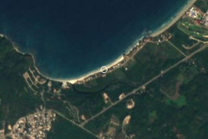
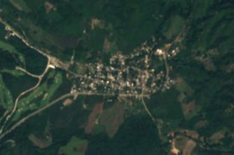
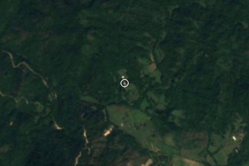
El Refugio Suchitlán · Village · 6 km away
-
La Sauceda · Village · 7 km away
-
Ixtlahuahuey · Village · 8 km away
-
Pizota · Village · 11 km away
-
Cabo Corrientes · Nature reserve · 13 km away
-
Chacala · Village · 14 km away
-
Playa Isabel · Beach · 15 km away
-
Yelapa · Village · 15 km away


Near Chimo





Drive times by road from OpenStreetMap, without traffic. Times marked ~ are estimated from the straight-line distance.
Location from OpenStreetMap. Written by Puebloteca.