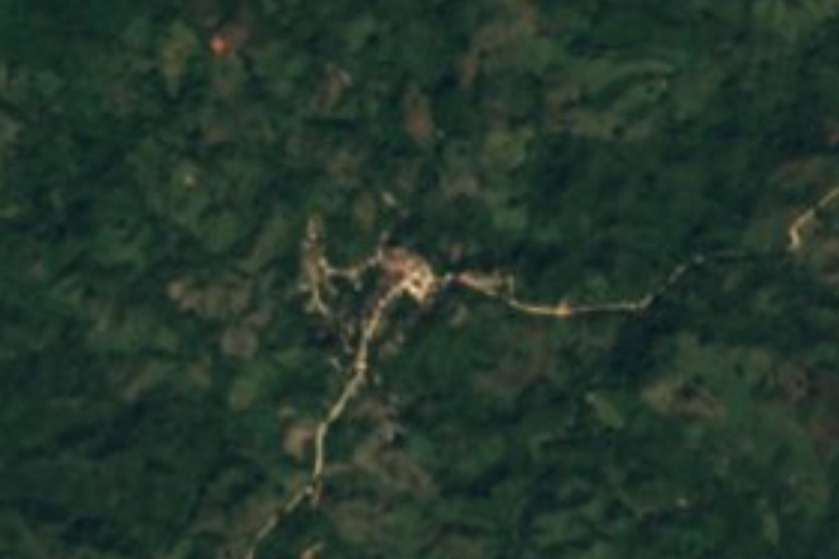
Village Cabo Corrientes, Jalisco Municipality of Cabo Corrientes Banderas Bay
A ranchería of under 200 people at about 620 m in the Cabo Corrientes sierra, in raicilla country, reached by a long dirt road from El Tuito.
From Puerto Vallarta: 1 h 45 min by car (84 km by road) How to get there ↓
Near here
See everything nearby ↓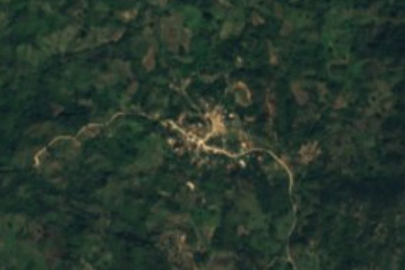
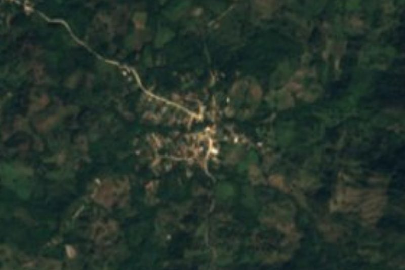


Plan your visit to El Refugio Suchitlán
Where to stay near El Refugio Suchitlán
Compare hotels, posadas and guest houses in El Refugio Suchitlán.
Tours to El Refugio Suchitlán
Day trips and guided outings from Sayulita often include El Refugio Suchitlán; with a local guide you can get there without a car.
 Tours from Puerto Vallarta
Winner 2026 Downtown Vallarta Food Tour with Vallarta Food Tours
★ 5.0 (3,971) · From US$59
How to get to El Refugio Suchitlán
- From Puerto Vallarta: about 1 h 45 min by road (~84 km)
- Nearest airport: Puerto Vallarta (PVR), 41 min by car to Sayulita
Links open a partner site. We may earn a commission if you book, at no cost to you.
Tours from Puerto Vallarta, near El Refugio Suchitlán


Tours, prices and ratings from Viator, checked weekly. We may earn a commission if you book.
About El Refugio Suchitlán
El Refugio Suchitlán, which the census also calls La Congregación, is a small ranchería in the hills of Cabo Corrientes, the Jalisco municipality that wraps around the southern shore of Banderas Bay. It sits at about 617 metres above sea level in the forested sierra behind the stretch of coast west of Yelapa, which lies roughly 12 km away in a straight line. El Tuito, the municipal seat, is about 27 km away as the crow flies and further by road.
The 2020 census counted 188 people living in 62 occupied homes, slightly fewer than the 209 recorded in 2005. Almost every house has electricity and piped water, while internet is still rare. The neighbouring settlements are just as small: Ixtlahuahuey, with about 250 people, is a little over 2 km away, and La Sauceda, with about 140, just under 3 km. Low wooded peaks surround the village, among them El Centinela at 782 m and La Monja at 827 m.
These hills are raicilla country. Close by, near Ixtlahuahuey and with a postal address in El Refugio Suchitlán, the Joya family runs a tavern known as Los Guajes. Jorge Octavio Joya García, described as a fifth-generation raicillero, makes the spirit from agaves such as Agave maximiliana and Agave inaequidens: the hearts are roasted for days in an earth pit oven, crushed with mallets in a wooden canoe, fermented for about two weeks and distilled twice. A 2024 account of the regional raicilla route describes a visit there with a family meal of fish tacos.
There are no hotels in the village; the nearest lodgings listed are in Yelapa. This is a working mountain community rather than a tourist stop, so come with your own transport and plenty of time.
How to get to El Refugio Suchitlán
Drive from Puerto Vallarta: 1 h 45 min, 84 km
El Tuito is on Highway 200, a drive of about 50 minutes south of downtown Puerto Vallarta. From there, unpaved roads run west through the sierra to the village; routing on OpenStreetMap data puts it about 36 km from El Tuito, an hour or more of dirt driving. The village is in the hills, not on the shore, so the water taxis that serve Yelapa and the coast do not reach it.
Directions to El Refugio Suchitlán on Google Maps
Distances are in a straight line; the road is usually longer.
Links open a partner site. We may earn a commission if you book, at no cost to you.
From the nearest cities to El Refugio Suchitlán
- Puerto Vallarta · 84 km by road, 1 h 45 min
- Autlán · about 185 km by road, ~2 h 45 min
- Manzanillo · 272 km by road, 3 h 55 min
Drive times by road from OpenStreetMap, without traffic or stops. Times marked ~ are estimated from the straight-line distance.
Before you go to El Refugio Suchitlán: hours, prices and tips
- Best season
- Rain falls mostly from summer into autumn, with September the wettest month and about 1,170 mm a year; January is the coolest month, averaging about 19 °C. PueblosAmérica · checked Oct 2026
Hours and prices change, especially around holidays. Each fact links to where we checked it.
Visiting El Refugio Suchitlán: what to see and do
Taste raicilla at Los Guajes, the Joya family's tavern near Ixtlahuahuey, where it is still roasted in an earth pit oven.
Drive the long unpaved road through the forested sierra of Cabo Corrientes from El Tuito.
Visit the neighbouring ranchos of Ixtlahuahuey, about 2 km away, and La Sauceda, about 3 km away.
Plan your trip
Places to stay in El Refugio Suchitlán
Compare hotels, posadas, and rentals in and around El Refugio Suchitlán.
Tours & activities
Day trips and guided outings from Sayulita often include El Refugio Suchitlán; with a local guide you can get there without a car.
Rental cars
Pick up a car at PVR (Puerto Vallarta): about 41 min by road to Sayulita, then 49 km more to El Refugio Suchitlán, on your own schedule.
Flights
The nearest airport with scheduled flights is Puerto Vallarta (PVR), about 41 min by road from Sayulita, the base for El Refugio Suchitlán.
Mobile data
Signal can drop away from Sayulita: download a map of the way to El Refugio Suchitlán before you set out, or carry an eSIM with data.
Links open a partner site. We may earn a commission if you book, at no cost to you.
When to go to El Refugio Suchitlán warm
El Refugio Suchitlán shares the climate of Sayulita, 49 km away. The best months to visit are March, April, May, and November.
See the month-by-month climate of Sayulita
Weather in El Refugio Suchitlán now and the next 7 days
Live forecast from Open-Meteo. Chance of rain is the day's highest.
The closest Pueblo Mágico: Sayulita

Sayulita is the Pueblo Mágico closest to El Refugio Suchitlán, with places to stay, food, and more to see.
Also close to
- Talpa de Allende · Jalisco · 76 km away
- Mascota · Jalisco · 79 km away
Closest to El Refugio Suchitlán
-
Ixtlahuahuey · Village · 2 km away
-
La Sauceda · Village · 3 km away
-
Chimo · Village · 6 km away
-
Chacala · Village · 8 km away
-
Pizota · Village · 8 km away
-
Playa Isabel · Beach · 11 km away
-
Yelapa · Village · 11 km away
-
Cabo Corrientes · Nature reserve · 16 km away


Near El Refugio Suchitlán

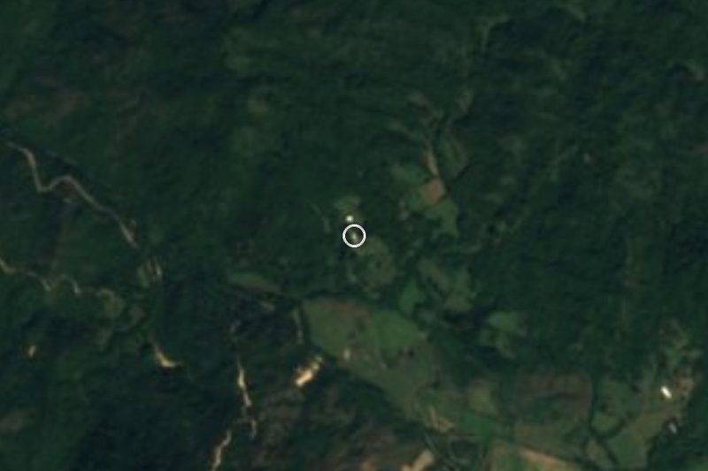


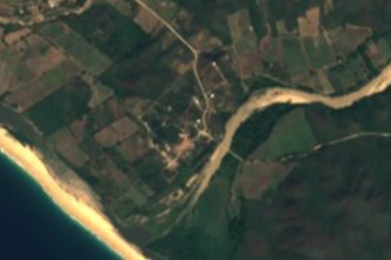


Drive times by road from OpenStreetMap, without traffic. Times marked ~ are estimated from the straight-line distance.
Location from OpenStreetMap. Written by Puebloteca.