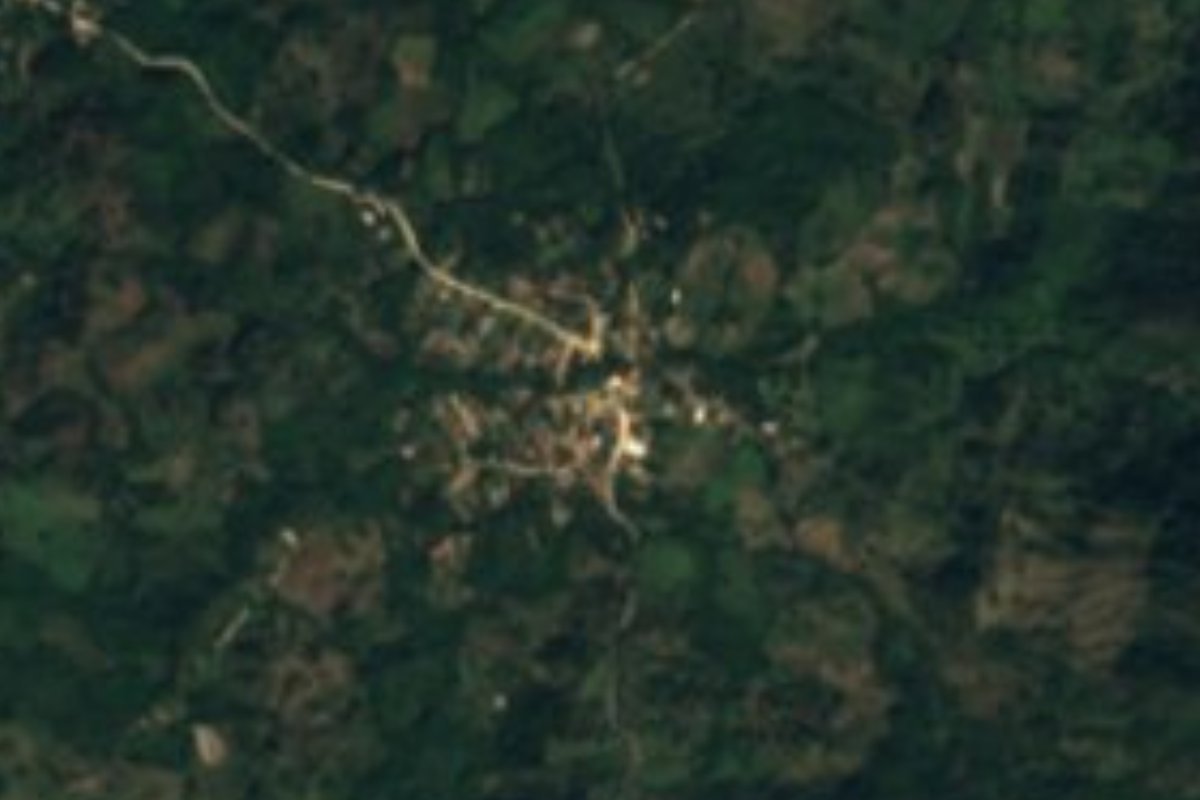
Village Cabo Corrientes, Jalisco Municipality of Cabo Corrientes Banderas Bay
Hill village of Cabo Corrientes about 600 m up, on the dirt road from El Tuito to Yelapa; not the Nayarit beach town of the same name.
From Puerto Vallarta: 1 h 25 min by car (74 km by road) How to get there ↓
Near here
See everything nearby ↓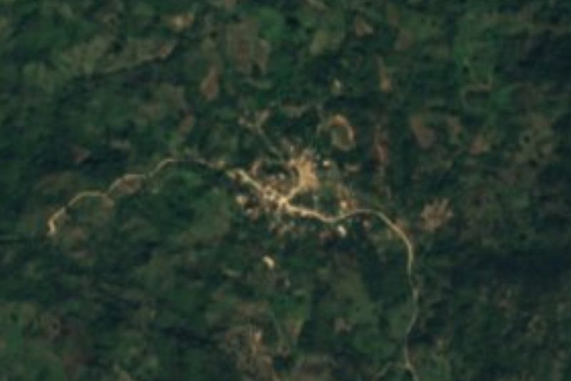


Plan your visit to Chacala
Where to stay near Chacala
Compare hotels, posadas and guest houses in Chacala.
Tours to Chacala
Day trips and guided outings from Sayulita often include Chacala; with a local guide you can get there without a car.
 Tours from Puerto Vallarta
Winner 2026 Downtown Vallarta Food Tour with Vallarta Food Tours
★ 5.0 (3,971) · From US$59
How to get to Chacala
- From Puerto Vallarta: about 1 h 25 min by road (~74 km)
- Nearest airport: Puerto Vallarta (PVR), 41 min by car to Sayulita
Links open a partner site. We may earn a commission if you book, at no cost to you.
Tours from Puerto Vallarta, near Chacala


Tours, prices and ratings from Viator, checked weekly. We may earn a commission if you book.
About Chacala
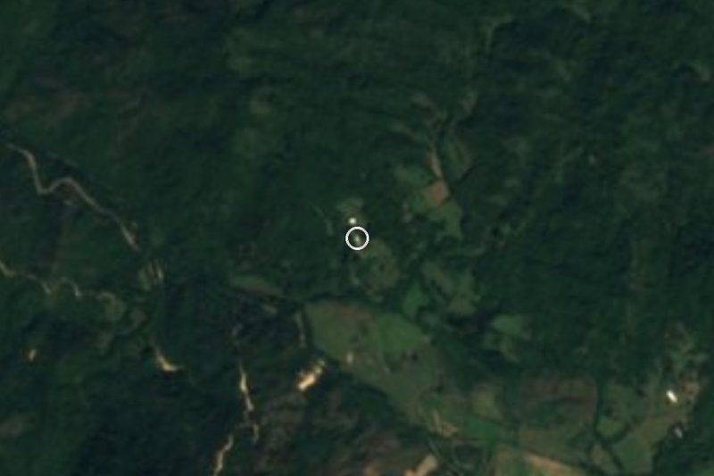
This Chacala is a small farming village in the hills of Cabo Corrientes, Jalisco, about 7 kilometers south of Yelapa and some 600 meters above sea level. It should not be confused with the better-known Chacala, the beach village on the Riviera Nayarit coast of Compostela: this one has no beach of its own and sits inland, in the forested sierra that rises behind the southern shore of Banderas Bay.
The 2020 census counted 348 people, a little more than in 2010 (305) and a little fewer than in 2000 (376). It is an older community: about one resident in four is over 65. Chacala is an ejido, a village whose lands are held in common under Mexico's agrarian law; in 2023 one of its ejidatarios took a complaint about two hectares of family land to the state's agrarian ombudsman, a sign of the pressure that rentals and outside buyers put on land in this corner of the municipality. The municipal encyclopedia singles out the natural forests of the central part of Cabo Corrientes, from Chacala to south of El Tuito, as one of the things worth visiting in the municipality.
Chacala lies on the dirt road that crosses the mountains from El Tuito, the municipal seat on Highway 200, to Yelapa, the only land route to that otherwise boat-reached bay village. The track winds through the hills with several creek crossings and a lookout high above Yelapa and Banderas Bay; drivers who have done it plan on an hour and a half to two hours from El Tuito to Yelapa. There are no hotels or visitor services documented in the village, so it is a place to pass through on a back-country drive rather than a destination in itself.
How to get to Chacala
Drive from Puerto Vallarta: 1 h 25 min, 74 km
From Puerto Vallarta take Highway 200 south to El Tuito, about 29 miles (some 47 km). From El Tuito a dirt road heads northwest into the mountains through Chacala toward Yelapa; allow about 1.5 to 2 hours from El Tuito to Yelapa. Use a four-wheel-drive vehicle: the road has creek crossings and the clay surface turns very slippery after rain. There is no public transport documented to the village, and conditions change, so ask in El Tuito before setting out.
Directions to Chacala on Google Maps
Distances are in a straight line; the road is usually longer.
Links open a partner site. We may earn a commission if you book, at no cost to you.
From the nearest cities to Chacala
- Puerto Vallarta · 74 km by road, 1 h 25 min
- Autlán · about 180 km by road, ~2 h 40 min
- Tepic · 247 km by road, 3 h 40 min
Drive times by road from OpenStreetMap, without traffic or stops. Times marked ~ are estimated from the straight-line distance.
Before you go to Chacala: hours, prices and tips
- Time needed
- About 1.5 to 2 hours of dirt-road driving from El Tuito to Yelapa, through Chacala. IH8MUD Forum · checked Oct 2026
- Best season
- Go in the dry months: rain turns the clay road very slippery, and a four-wheel drive is advised. IH8MUD Forum · checked Oct 2026
Hours and prices change, especially around holidays. Each fact links to where we checked it.
Visiting Chacala: what to see and do
Drive the back-country dirt road from El Tuito through Chacala to Yelapa.
Stop at the hilltop lookout above Yelapa for the view over Banderas Bay.
See the forests of the central sierra of Cabo Corrientes along the way.
End the trip on the beach at Yelapa, a half-hour walk from the end of the track.
Plan your trip
Places to stay in Chacala
Compare hotels, posadas, and rentals in and around Chacala.
Tours & activities
Day trips and guided outings from Sayulita often include Chacala; with a local guide you can get there without a car.
Rental cars
Pick up a car at PVR (Puerto Vallarta): about 41 min by road to Sayulita, then 49 km more to Chacala, on your own schedule.
Flights
The nearest airport with scheduled flights is Puerto Vallarta (PVR), about 41 min by road from Sayulita, the base for Chacala.
Mobile data
Signal can drop away from Sayulita: download a map of the way to Chacala before you set out, or carry an eSIM with data.
Links open a partner site. We may earn a commission if you book, at no cost to you.
When to go to Chacala warm
Chacala shares the climate of Sayulita, 49 km away. The best months to visit are March, April, May, and November.
See the month-by-month climate of Sayulita
Weather in Chacala now and the next 7 days
Live forecast from Open-Meteo. Chance of rain is the day's highest.
The closest Pueblo Mágico: Sayulita

Sayulita is the Pueblo Mágico closest to Chacala, with places to stay, food, and more to see.
Also close to
- Talpa de Allende · Jalisco · 68 km away
- Mascota · Jalisco · 72 km away
Closest to Chacala
-
Ixtlahuahuey · Village · 6 km away
-
Pizota · Village · 7 km away
-
Playa Isabel · Beach · 7 km away
-
Yelapa · Village · 7 km away
-
El Refugio Suchitlán · Village · 8 km away
-
La Sauceda · Village · 9 km away
-
Las Caletas · Beach · 12 km away
-
Playa Majahuitas · Beach · 12 km away


Near Chacala





Drive times by road from OpenStreetMap, without traffic. Times marked ~ are estimated from the straight-line distance.
Location from OpenStreetMap. Written by Puebloteca.