
Village Cabo Corrientes, Jalisco Municipality of Cabo Corrientes Banderas Bay
Tiny boat-only fishing village past Yelapa on the south shore of Banderas Bay, with Playa Manzanilla, a jungle waterfall and no resorts.
Reached by boat from Yelapa: 20 min each way. How to get there ↓
Near here
See everything nearby ↓


Plan your visit to Pizota
Where to stay near Pizota
Compare hotels, posadas and guest houses in Pizota.
Tours to Pizota
Day trips and guided outings from Sayulita often include Pizota; with a local guide you can get there without a car.
 Tours from Puerto Vallarta
Winner 2026 Downtown Vallarta Food Tour with Vallarta Food Tours
★ 5.0 (3,971) · From US$59
How to get to Pizota
- Reached by boat from Yelapa: 20 min each way.
- From Puerto Vallarta: about 2 h by road (~86 km)
- Nearest airport: Puerto Vallarta (PVR), 41 min by car to Sayulita
Links open a partner site. We may earn a commission if you book, at no cost to you.
Tours from Puerto Vallarta, near Pizota


Tours, prices and ratings from Viator, checked weekly. We may earn a commission if you book.
About Pizota
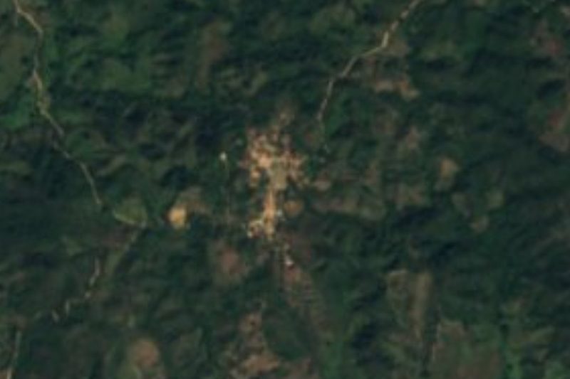
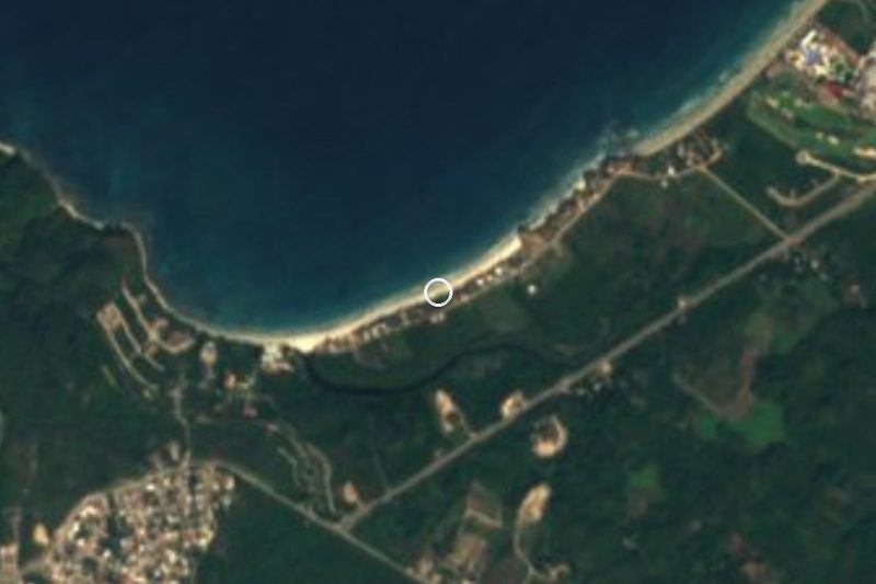
Pizota is a very small fishing village on the southern shore of Banderas Bay, in the municipality of Cabo Corrientes, Jalisco, about four kilometers west of Yelapa along the jungle-covered coast. No road comes here: like Yelapa, it is reached by panga, about twenty minutes beyond Yelapa by boat. A tour operator that brings groups here puts the population at around a hundred people, and its beach, mapped as Playa Manzanilla, curves along the shore just north of the houses.
Visitors who know both places often describe Pizota as Yelapa was decades ago: remote, green and quiet, without the day-trip crowds, the beach loungers or the souvenir sellers. Despite a common belief, it is not a private island or a private beach; it is a coastal village like its neighbors, and Mexican beaches cannot be privately owned. There are no large resorts, only rental houses and simple palapa huts, a few beach cafés serving fresh fish, and paths into the hills behind the village.
The main outing on land is a walk inland to a waterfall with a pool for swimming, and short horseback rides can be arranged. Most people come on a boat tour from Puerto Vallarta for snorkeling and a barbecue lunch on the sand, or stay a few nights in a rented house to get away from everything. If you go, treat it as someone's home: be respectful, pick up your rubbish and leave no trace.
How to get to Pizota
Drive from Puerto Vallarta to Yelapa: 2 h, 86 km
There is no road to Pizota; you arrive by boat. From Puerto Vallarta, take the orange-and-white bus toward Boca de Tomatlán from the stop by the OXXO at Basilio Badillo and Constitución in the Zona Romántica, ride to the end of the line, and take a panga from the pier at Boca. Water taxis that run on past Yelapa continue to Pizota, about 20 minutes further; boats between Yelapa and Pizota do not run on a fixed schedule, so agree on the price and the pick-up time for the return before you set off. Several Puerto Vallarta boat tours also stop here.
Reached by boat from Yelapa: 20 min each way.
Directions to Pizota on Google Maps
Distances are in a straight line; the road is usually longer.
Links open a partner site. We may earn a commission if you book, at no cost to you.
From the nearest cities to Pizota
- Puerto Vallarta · 86 km by road, 2 h to Yelapa, then 20 min by boat
- Autlán · about 180 km by road, ~2 h 40 min to Yelapa, then 20 min by boat
- Manzanillo · 274 km by road, 4 h 10 min to Yelapa, then 20 min by boat
Drive times by road from OpenStreetMap, without traffic or stops. Times marked ~ are estimated from the straight-line distance.
Before you go to Pizota: hours, prices and tips
- Guide or tour
- No guide needed in the village; a water taxi or a boat tour is how you get there. Vacation Villas of Mexico · checked Oct 2026
- Rules
- Be respectful of the residents, pick up after yourself and leave no trace. Vacation Villas of Mexico · checked Oct 2026
Hours and prices change, especially around holidays. Each fact links to where we checked it.
Visiting Pizota: what to see and do
Walk inland from the village to the waterfall and swim in its pool.
Spend a lazy day on Playa Manzanilla, the beach in front of the village.
Eat fresh fish at one of the small beach cafés.
Take a short horseback ride into the hills.
Snorkel off the beach on a boat tour from Puerto Vallarta.
Plan your trip
Places to stay in Pizota
Compare hotels, posadas, and rentals in and around Pizota.
Tours & activities
Day trips and guided outings from Sayulita often include Pizota; with a local guide you can get there without a car.
Rental cars
Pick up a car at PVR (Puerto Vallarta): about 41 min by road to Sayulita, then 43 km more to Pizota, on your own schedule.
Flights
The nearest airport with scheduled flights is Puerto Vallarta (PVR), about 41 min by road from Sayulita, the base for Pizota.
Mobile data
Signal can drop away from Sayulita: download a map of the way to Pizota before you set out, or carry an eSIM with data.
Links open a partner site. We may earn a commission if you book, at no cost to you.
When to go to Pizota warm
Pizota shares the climate of Sayulita, 43 km away. The best months to visit are March, April, May, and November.
See the month-by-month climate of Sayulita
Weather in Pizota now and the next 7 days
Live forecast from Open-Meteo. Chance of rain is the day's highest.
The closest Pueblo Mágico: Sayulita

Sayulita is the Pueblo Mágico closest to Pizota, with places to stay, food, and more to see.
Also close to
- Talpa de Allende · Jalisco · 70 km away
- Mascota · Jalisco · 73 km away
Closest to Pizota
-
Playa Isabel · Beach · 4 km away
-
Yelapa · Village · 4 km away
-
Ixtlahuahuey · Village · 6 km away
-
Chacala · Village · 7 km away
-
El Refugio Suchitlán · Village · 8 km away
-
Playa Majahuitas · Beach · 10 km away
-
Chimo · Village · 11 km away
-
La Sauceda · Village · 11 km away
Near Pizota
-
Jardín Botánico de Vallarta · Nature reserve · Jalisco
1 h 50 min: 20 min by boat back to Yelapa, then drive





Drive times by road from OpenStreetMap, without traffic. Times marked ~ are estimated from the straight-line distance.
Location from OpenStreetMap. Written by Puebloteca.