
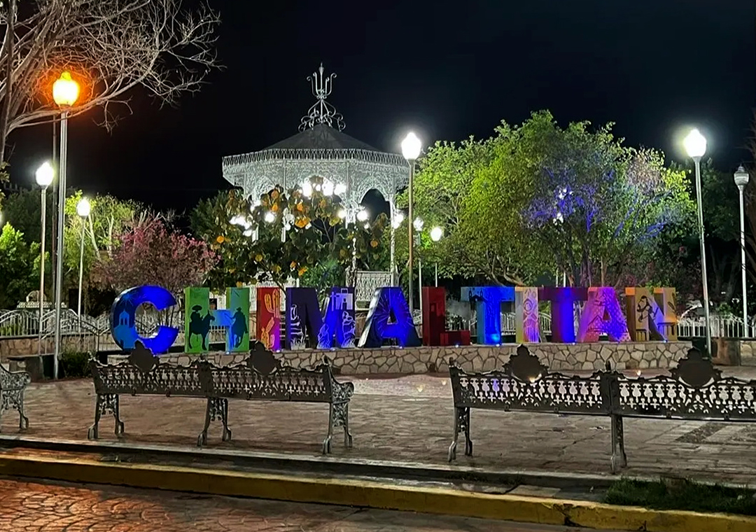
Village Chimaltitán, Jalisco
Municipal seat in northern Jalisco beside Zacatecas, with a 17th-century church and Franciscan ex-convent and a San Pascual fiesta in May.
From Tepic: about 2 h 15 min by road (~155 km) How to get there ↓
Near here
See everything nearby ↓


Plan your visit to Chimaltitán
Where to stay near Chimaltitán
Compare hotels, posadas and guest houses in Chimaltitán.
Tours to Chimaltitán
Day trips and guided outings from Teúl de González Ortega often include Chimaltitán; with a local guide you can get there without a car.
How to get to Chimaltitán
- From Tepic: about 2 h 15 min by road (~155 km)
- Nearest airport: Guadalajara (GDL), 2 h 22 min by car to Teúl de González Ortega
Links open a partner site. We may earn a commission if you book, at no cost to you.
About Chimaltitán
Chimaltitán is the seat of the municipality of the same name in northern Jalisco, right against the Zacatecas border and at about 850 metres above sea level according to Wikipedia. The name comes from Nahuatl, chimalli, "shield", and tlan, "between" or "surrounded by": it is read as "among the shields", and local tradition recalls that the area made war shields and other hand weapons. At the 2020 census the town had 609 inhabitants, down from 843 in 2010, and holds almost a fifth of the municipal population.
The history told of the place includes its conquest by Emmanuel Peñas, sent by Nuño de Guzmán, and the founding of the settlement by the Franciscan friars Andrés de Medina and Pedro del Monte; in 1616 friars from Zacatecas set up a doctrina here. In November 1810 fighters from the area led by Marcos Escobedo joined Hidalgo's insurgents at the Battle of Puente de Calderón. The municipality had been folded into Bolaños and regained municipal status by the decree of 1 January 1844.
The town sits at the foot of Cerro de la Santa Cruz. Its best-known architecture is in cantera stone: the Templo de la Virgen de Guadalupe, with a plain grey facade, and the Franciscan ex-convent, both from the 17th century. Stone carving is also the craft that made Chimaltitán known; palm hats and embroidery for traditional dresses are made too. At the table, birria, pepián and cajeta stand out.
How to get to Chimaltitán
From Guadalajara the drive takes about 4.5 hours: leave via Tesistán and take federal highway 23, which crosses a stretch of Zacatecas; at Tlaltenango take the turn-off toward Atolinga and then the road to Chimaltitán. The town is about 48 km (approx. 55 minutes) from Teúl de González Ortega and about 119 km (approx. 2 h 15 min) from Tepic. It sits at the edge of Bolaños, Villa Guerrero and Totatiche, neighbouring municipalities that can be combined in one trip. The municipal profile mentions public buses and an airstrip for small planes but publishes no lines or schedules; ask at Guadalajara's Nueva Central Camionera about departures to the northern region.
Directions to Chimaltitán on Google Maps
Distances are in a straight line; the road is usually longer.
Links open a partner site. We may earn a commission if you book, at no cost to you.
From the nearest cities to Chimaltitán
- Tepic · about 155 km by road, ~2 h 15 min
- San Juan de los Lagos · about 210 km by road, ~3 h 5 min
- Guadalajara · 216 km by road, 4 h 5 min
Drive times by road from OpenStreetMap, without traffic or stops. Times marked ~ are estimated from the straight-line distance.
Before you go to Chimaltitán: hours, prices and tips
- Best season
- Holy Cross fiesta on 3 May; San Pascual Bailón 9-17 May, with a palenque and regional music; Virgen de Guadalupe 4-12 December; Christmas 20-25 December. Wikipedia (Municipio de Chimaltitán) and El Informador · checked Oct 2026
Hours and prices change, especially around holidays. Each fact links to where we checked it.
Visiting Chimaltitán: what to see and do
Templo de la Virgen de Guadalupe, a 17th-century cantera church
Franciscan ex-convent, also 17th century
Cerro de la Santa Cruz, which rises over the town
Río Bolaños, for walks and photos
Stone carving, palm hats and embroidery
Birria, pepián and cajeta in the local kitchen
Plan your trip
Places to stay in Chimaltitán
Compare hotels, posadas, and rentals in and around Chimaltitán.
Tours & activities
Day trips and guided outings from Teúl de González Ortega often include Chimaltitán; with a local guide you can get there without a car.
Rental cars
Pick up a car at GDL (Guadalajara): about 2 h 22 min by road to Teúl de González Ortega, then 48 km more to Chimaltitán, on your own schedule.
Flights
The nearest airport with scheduled flights is Guadalajara (GDL), about 2 h 22 min by road from Teúl de González Ortega, the base for Chimaltitán.
Mobile data
Signal can drop away from Teúl de González Ortega: download a map of the way to Chimaltitán before you set out, or carry an eSIM with data.
Links open a partner site. We may earn a commission if you book, at no cost to you.
When to go to Chimaltitán mild
Chimaltitán shares the climate of Teúl de González Ortega, 48 km away. The best months to visit are March, April, May, and November.
See the month-by-month climate of Teúl de González Ortega
Weather in Chimaltitán now and the next 7 days
Live forecast from Open-Meteo. Chance of rain is the day's highest.
The closest Pueblo Mágico: Teúl de González Ortega

Teúl de González Ortega is the Pueblo Mágico closest to Chimaltitán, with places to stay, food, and more to see.
Closest to Chimaltitán
-
Bolaños · Village · 6 km away
-
San Martín de Bolaños · Town · 11 km away
-
Tuxpan de Bolaños · Village · 26 km away
-
Temastián · Village · 34 km away
-
Totatiche · Village · 38 km away
Near Chimaltitán
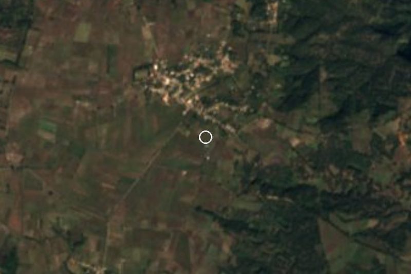




Drive times by road from OpenStreetMap, without traffic. Times marked ~ are estimated from the straight-line distance.
Location from OpenStreetMap. Written by Puebloteca.