
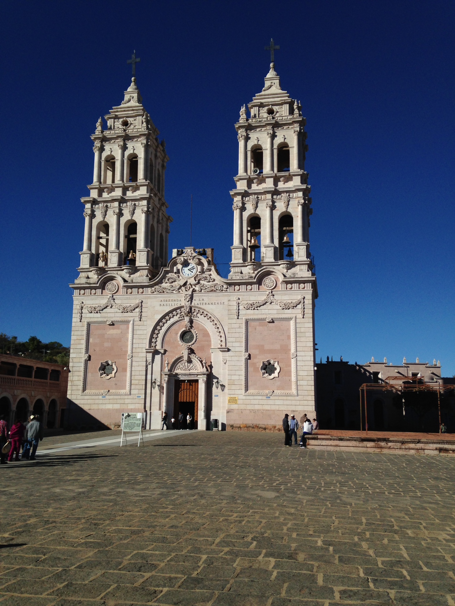
Village Totatiche, Jalisco
Northern Jalisco village whose Santuario del Señor de los Rayos draws pilgrims, with main fiestas in January and on Ascension Thursday.
From San Juan de los Lagos: about 2 h 50 min by road (~190 km) How to get there ↓
Near here
See everything nearby ↓


Plan your visit to Temastián
Where to stay near Temastián
Compare hotels, posadas and guest houses in Temastián.
Tours to Temastián
Day trips and guided outings from Teúl de González Ortega often include Temastián; with a local guide you can get there without a car.
How to get to Temastián
- From San Juan de los Lagos: about 2 h 50 min by road (~190 km)
- Nearest airport: Guadalajara (GDL), 2 h 22 min by car to Teúl de González Ortega
Links open a partner site. We may earn a commission if you book, at no cost to you.
About Temastián
Temastián, also known as La Cantera, is a locality in Totatiche municipality in northern Jalisco, at about 1,864 metres above sea level. It had 1,477 residents at the 2020 census and is the municipality's largest locality after the seat. Its Nahuatl name is read as "place of the baths", and tradition holds that it was a pre-Hispanic ritual site visited once a year by different peoples; in the late 16th century Franciscans founded a convent here, as at Totatiche and Villa Guerrero, working out of Colotlán.
Everything revolves around the Santuario del Señor de los Rayos, built of white, purple and ochre quarry stone, with two matching bell towers and a dome on a stained-glass drum. The present church was pushed forward in 1922 by the priest Julián Hernández; it was blessed on 11 January 1934 and the dome was finished in 1947. A hall of retablos displays ex-votos, the oldest dated February 1891. In the best-known version of the story, lightning struck the crucified Christ without harming it.
The biggest days are Ascension Thursday and 11 January; the municipality frames them within the Señor de los Rayos festival, 3 to 12 January. Masses are then held in the atrium because of the crowds, and some pilgrims arrive on foot after walking several days from Valparaíso, Zacatecas, or from Aguascalientes. Outside those dates the place is quiet.
How to get to Temastián
Temastián is in the far northeast of Jalisco, in Totatiche municipality, about 10 km northwest of the municipal seat in a straight line. Totatiche is linked to Guadalajara by the Guadalajara–Zacatecas highway, according to Wikipedia, and borders Colotlán, the usual starting point for the area. From Aguascalientes, the nearest big city, it is about 127 km, roughly 2 hours 25 minutes by car, and from Teúl de González Ortega, a Pueblo Mágico, about 58 km, roughly 65 minutes. Pilgrims arrive by bus, car or on foot. There are no published public-transport timetables to the sanctuary; on festival days arrive early because the atrium fills up.
Directions to Temastián on Google Maps
Distances are in a straight line; the road is usually longer.
Links open a partner site. We may earn a commission if you book, at no cost to you.
From the nearest cities to Temastián
- San Juan de los Lagos · about 190 km by road, ~2 h 50 min
- Zacatecas · 178 km by road, 2 h 55 min
- Tepic · about 195 km by road, ~2 h 55 min
Drive times by road from OpenStreetMap, without traffic or stops. Times marked ~ are estimated from the straight-line distance.
Before you go to Temastián: hours, prices and tips
- Best season
- Fiesta of the Señor de los Rayos 3 to 12 January (main day 11 January) and Ascension Thursday. Catholic.net / Wikipedia (Municipio de Totatiche) · checked Oct 2026
Hours and prices change, especially around holidays. Each fact links to where we checked it.
Visiting Temastián: what to see and do
Santuario del Señor de los Rayos, in quarry stone with two towers
Salón de los Retablos, with ex-votos from 1891
The lightning-damaged cross kept at the altar
Pilgrimages and open-air Masses in the atrium on 11 January and Ascension Thursday
Temastián dam, one of the municipality's five dams
Plan your trip
Places to stay in Temastián
Compare hotels, posadas, and rentals in and around Temastián.
Tours & activities
Day trips and guided outings from Teúl de González Ortega often include Temastián; with a local guide you can get there without a car.
Rental cars
Pick up a car at GDL (Guadalajara): about 2 h 22 min by road to Teúl de González Ortega, then 58 km more to Temastián, on your own schedule.
Flights
The nearest airport with scheduled flights is Guadalajara (GDL), about 2 h 22 min by road from Teúl de González Ortega, the base for Temastián.
Mobile data
Signal can drop away from Teúl de González Ortega: download a map of the way to Temastián before you set out, or carry an eSIM with data.
Links open a partner site. We may earn a commission if you book, at no cost to you.
When to go to Temastián mild
Temastián shares the climate of Teúl de González Ortega, 58 km away. The best months to visit are March, April, May, and November.
See the month-by-month climate of Teúl de González Ortega
Weather in Temastián now and the next 7 days
Live forecast from Open-Meteo. Chance of rain is the day's highest.
The closest Pueblo Mágico: Teúl de González Ortega

Teúl de González Ortega is the Pueblo Mágico closest to Temastián, with places to stay, food, and more to see.
Also close to
- Villanueva · Zacatecas · 78 km away
Closest to Temastián
-
Totatiche · Village · 10 km away
-
Bolaños · Village · 31 km away
-
Colotlán · Town · 31 km away
-
Chimaltitán · Village · 34 km away
-
Santa María de los Ángeles · Town · 38 km away
-
San Martín de Bolaños · Town · 44 km away
-
Mezquitic · Village · 50 km away

Near Temastián


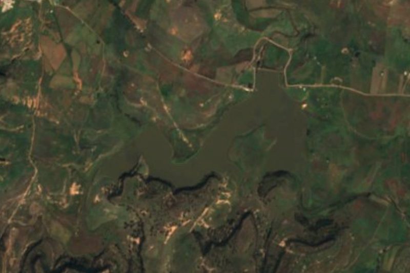


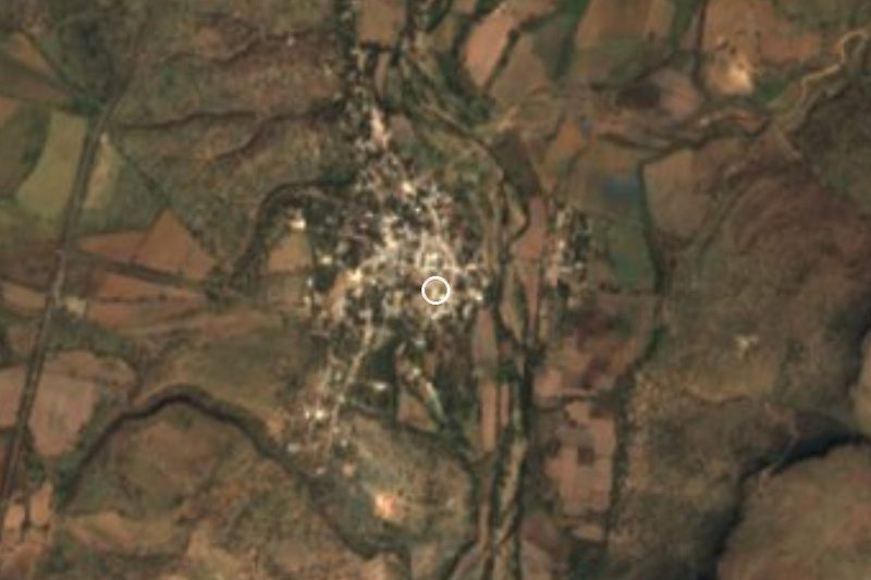


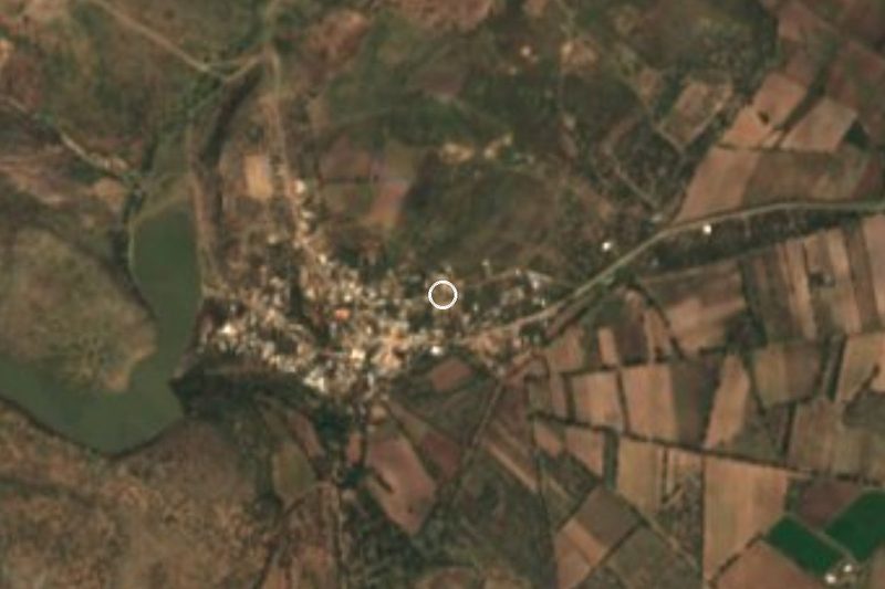
Drive times by road from OpenStreetMap, without traffic. Times marked ~ are estimated from the straight-line distance.
Location from OpenStreetMap. Written by Puebloteca.