


Village Puerto Vallarta, Jalisco Municipality of Puerto Vallarta Banderas Bay
Tiny roadside settlement and beach on Vallarta's south shore, where the road up to El Nogalito leaves Highway 200; a stop on the Mismaloya bus.
From Puerto Vallarta: 15 min by car (11 km by road) How to get there ↓
Near here
See everything nearby ↓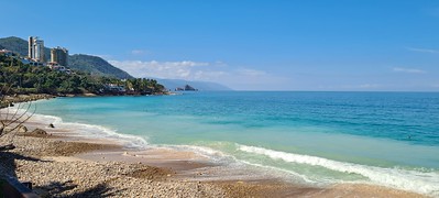


Plan your visit to La Punta Negra
Where to stay near La Punta Negra
Compare hotels, posadas and guest houses in La Punta Negra.
Tours to La Punta Negra
Day trips and guided outings from Sayulita often include La Punta Negra; with a local guide you can get there without a car.
 Tours from Puerto Vallarta
Winner 2026 Downtown Vallarta Food Tour with Vallarta Food Tours
★ 5.0 (3,971) · From US$59
How to get to La Punta Negra
- From Puerto Vallarta: about 15 min by road (~11 km)
- Nearest airport: Puerto Vallarta (PVR), 41 min by car to Sayulita
Links open a partner site. We may earn a commission if you book, at no cost to you.
Tours from Puerto Vallarta, near La Punta Negra


Tours, prices and ratings from Viator, checked weekly. We may earn a commission if you book.
About La Punta Negra
La Punta Negra is a tiny locality and stretch of shore on the south side of Banderas Bay, along Highway 200 about 6 kilometers from the center of Puerto Vallarta on the way to Mismaloya. The highway crosses the Punta Negra bridge here, and this is the place where the side road to the hillside village of El Nogalito and its ecopark heads inland. The 2020 census counted just 26 residents here, down from 80 in 2005, at about 30 meters above sea level; most of the land around it is taken by houses, condominiums and hotels clinging to the slope between the road and the sea.
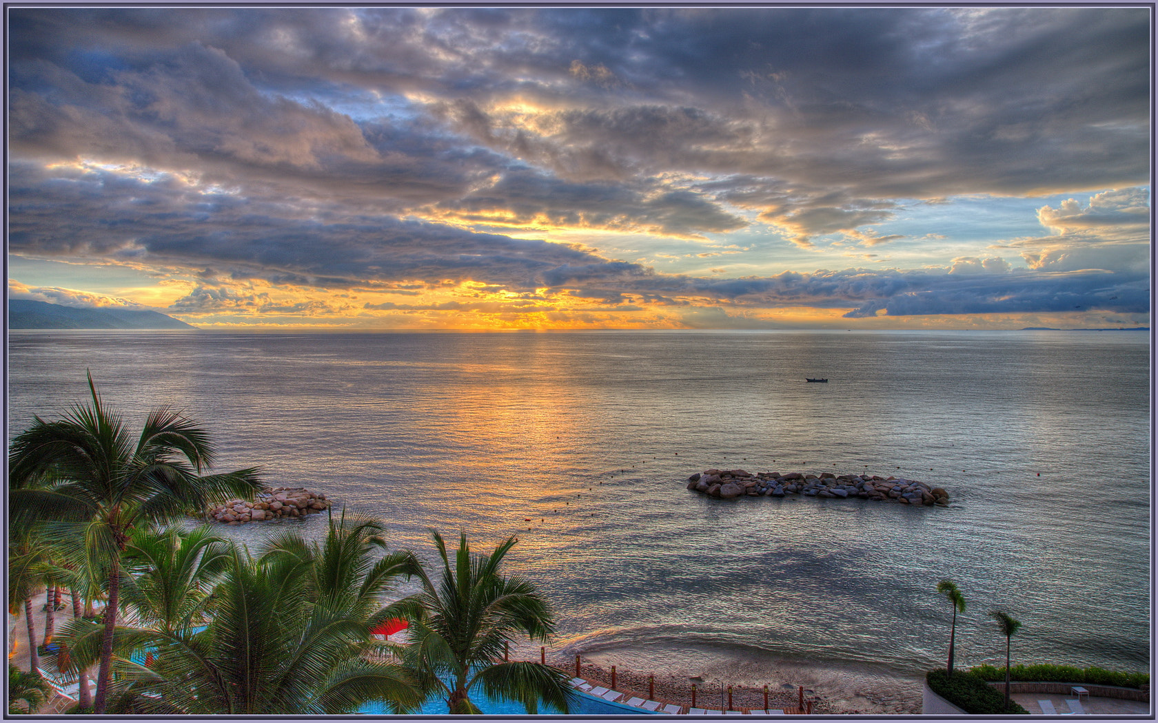
The coast here is a string of small coves rather than one long beach. Guides to the south shore list Playa Punta Negra between Las Estacas and Conchas Chinas to the north and Playa Palmares to the south, with Garza Blanca, Las Gemelas and Mismaloya beyond. Just north of the point, the Hilton Vallarta Riviera and the Playa Fiesta hotel look out over a line of rock breakwaters, and the coves face west across the bay to the mountains of the north shore, so the sun sets straight ahead.
For visitors La Punta Negra is mostly a place to get off the bus: for the beach, for Playa Palmares, which has public restrooms, lifeguards and parking a short walk south, or for the road up to El Nogalito, where a river trail leads to a small waterfall and a zip-line park operates over the canyon.
How to get to La Punta Negra
Drive from Puerto Vallarta: 15 min, 11 km
From Puerto Vallarta follow Highway 200 south toward Mismaloya and Barra de Navidad; La Punta Negra is about 6 km from downtown, at the bridge where the road to El Nogalito turns off. The white-and-orange buses to Mismaloya and Boca de Tomatlán leave from the corner of Constitución and Basilio Badillo in the Zona Romántica, stop at Punta Negra and cost about 10 pesos. Taxis and Uber also make the trip.
Directions to La Punta Negra on Google Maps
Distances are in a straight line; the road is usually longer.
Links open a partner site. We may earn a commission if you book, at no cost to you.
From the nearest cities to La Punta Negra
- Puerto Vallarta · 11 km by road, 15 min
- Autlán · about 165 km by road, ~2 h 25 min
- Tepic · 184 km by road, 2 h 30 min
Drive times by road from OpenStreetMap, without traffic or stops. Times marked ~ are estimated from the straight-line distance.
Visiting La Punta Negra: what to see and do
Watch the sunset over the bay from the coves around the point.
Walk south to Playa Palmares, the Blue Flag beach with lifeguards and restrooms.
Head up the side road to El Nogalito for the river walk to its waterfall.
Fly the zip lines of the Nogalito ecopark over the canyon.
Plan your trip
Places to stay in La Punta Negra
Compare hotels, posadas, and rentals in and around La Punta Negra.
Tours & activities
Day trips and guided outings from Sayulita often include La Punta Negra; with a local guide you can get there without a car.
Rental cars
Pick up a car at PVR (Puerto Vallarta): about 41 min by road to Sayulita, then 39 km more to La Punta Negra, on your own schedule.
Flights
The nearest airport with scheduled flights is Puerto Vallarta (PVR), about 41 min by road from Sayulita, the base for La Punta Negra.
Mobile data
Signal can drop away from Sayulita: download a map of the way to La Punta Negra before you set out, or carry an eSIM with data.
Links open a partner site. We may earn a commission if you book, at no cost to you.
Photos
When to go to La Punta Negra warm
La Punta Negra shares the climate of Sayulita, 39 km away. The best months to visit are March, April, May, and November.
See the month-by-month climate of Sayulita
Weather in La Punta Negra now and the next 7 days
Live forecast from Open-Meteo. Chance of rain is the day's highest.
The closest Pueblo Mágico: Sayulita

Sayulita is the Pueblo Mágico closest to La Punta Negra, with places to stay, food, and more to see.
Also close to
- Talpa de Allende · Jalisco · 49 km away
- Mascota · Jalisco · 49 km away
- San Sebastián del Oeste · Jalisco · 71 km away
Closest to La Punta Negra
-
Playa Palmares · Beach · 0 km away
-
Cascada Palo María · Waterfall · 1 km away
-
Ecoparque El Nogalito · Landmark · 2 km away
-
Playa Garza Blanca · Beach · 2 km away
-
Playa Conchas Chinas · Beach · 3 km away
-
Playa Las Estacas · Beach · 3 km away
-
Los Arcos de Mismaloya · Nature reserve · 4 km away
-
Muelle de Playa Los Muertos · Landmark · 4 km away


Near La Punta Negra


Drive times by road from OpenStreetMap, without traffic. Times marked ~ are estimated from the straight-line distance.
Location from OpenStreetMap. Written by Puebloteca.