Village Tuxcueca, Jalisco
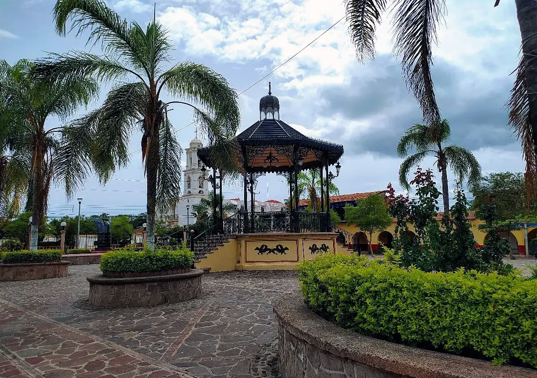
Municipal seat on the south shore of Lake Chapala at 1,530 m, with an 18th-century church of San Bartolomé and a pier.
From Sahuayo: 1 h by car (60 km by road) How to get there ↓
Near here
See everything nearby ↓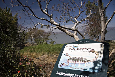


Plan your visit to Tuxcueca
Where to stay near Tuxcueca
Compare hotels, posadas and guest houses in Tuxcueca.
Tours to Tuxcueca
Day trips and guided outings from Ajijic often include Tuxcueca; with a local guide you can get there without a car.
How to get to Tuxcueca
- From Sahuayo: about 1 h by road (~60 km)
- Nearest airport: Guadalajara (GDL), 39 min by car to Ajijic
Links open a partner site. We may earn a commission if you book, at no cost to you.
About Tuxcueca
Tuxcueca is the seat of the municipality of the same name, on the south shore of Lake Chapala, at about 1,530 metres above sea level. At the 2020 census the town had 1,424 inhabitants and the municipality 6,702; the municipality's largest settlement is San Luis Soyatlán, also on the lake. The name comes from the Nahuatl tochcuécan, from tochtli (rabbit), cuéitl (skirt) and can (place), and has been read as "where rabbit-hair skirts are made".
The settlement already existed before the conquest, founded by Chichimec peoples beside the Las Carretas stream. After the south of Jalisco fell in 1524 it came under the Province of Ávalos, and in 1560 the town was moved 2 km west of the original site for its Spanish foundation. It became a municipality on 20 April 1886 by decree 184, pushed by General Ramón Corona, born in nearby Puruagua, with Gonzalo Solís as the first municipal president.
In the centre the main sights are the church of San Bartolomé Apóstol, from the second half of the 18th century, the chapel of the Virgen de Guadalupe, from 1903, and the former Escuela Normal of 1939, now the public library. The municipality also has a pier, the La Cañada dam and Cerro de García, its highest point. Embroidered cotton cloth and palm hats are made locally.
The bullfighting fair runs 28 January to 5 February; the San Bartolomé fiesta is 15 to 24 August, and the Virgen de Guadalupe fiesta 4 to 12 December.
How to get to Tuxcueca
Drive from Sahuayo: 1 h, 60 km
Tuxcueca is about 80 km from Guadalajara. Federal Highway 15 (Mexico City–Guadalajara via Morelia) crosses the municipality east to west, and state highway 405 leaves town toward Mazamitla, with branches to Teocuitatlán de Corona and Concepción de Buenos Aires. By bus, Autotransportes Mazamitla runs hourly from the Guadalajara Nueva Central Camionera (about 2 hours per Rome2rio), and from Jocotepec station there is an hourly service of about 44 minutes. By car, Jocotepec is about 34 km, roughly 32 minutes; Guadalajara is about 1 hour 15 minutes.
Directions to Tuxcueca on Google Maps
Distances are in a straight line; the road is usually longer.
Links open a partner site. We may earn a commission if you book, at no cost to you.
From the nearest cities to Tuxcueca
- Sahuayo · 60 km by road, 1 h
- Guadalajara · 93 km by road, 1 h 25 min
- Ciudad Guzmán · 99 km by road, 1 h 25 min
Drive times by road from OpenStreetMap, without traffic or stops. Times marked ~ are estimated from the straight-line distance.
Before you go to Tuxcueca: hours, prices and tips
- Best season
- Bullfighting fair 28 January-5 February; San Bartolomé 15-24 August; Virgen de Guadalupe 4-12 December. Wikipedia: Municipio de Tuxcueca · checked Oct 2026
Hours and prices change, especially around holidays. Each fact links to where we checked it.
Visiting Tuxcueca: what to see and do
The church of San Bartolomé Apóstol, 18th century
The chapel of the Virgen de Guadalupe, 1903
The former Escuela Normal of 1939, now the public library
The Tuxcueca pier and the Lake Chapala shore
The lakeside malecón of San Luis Soyatlán, the municipality's most visited spot
Plan your trip
Places to stay in Tuxcueca
Compare hotels, posadas, and rentals in and around Tuxcueca.
Tours & activities
Day trips and guided outings from Ajijic often include Tuxcueca; with a local guide you can get there without a car.
Rental cars
Pick up a car at GDL (Guadalajara): about 39 min by road to Ajijic, then 18 km more to Tuxcueca, on your own schedule.
Flights
The nearest airport with scheduled flights is Guadalajara (GDL), about 39 min by road from Ajijic, the base for Tuxcueca.
Mobile data
Signal can drop away from Ajijic: download a map of the way to Tuxcueca before you set out, or carry an eSIM with data.
Links open a partner site. We may earn a commission if you book, at no cost to you.
When to go to Tuxcueca mild
Tuxcueca shares the climate of Ajijic, 18 km away. The best months to visit are January, March, April, and November.
See the month-by-month climate of Ajijic
Weather in Tuxcueca now and the next 7 days
Live forecast from Open-Meteo. Chance of rain is the day's highest.
The closest Pueblo Mágico: Ajijic

Ajijic is the Pueblo Mágico closest to Tuxcueca, with places to stay, food, and more to see.
Also close to
- Mazamitla · Jalisco · 32 km away
- Jiquilpan · Michoacán · 52 km away
- Sayula · Jalisco · 53 km away
- Tlaquepaque · Jalisco · 56 km away
- Cotija · Michoacán · 63 km away
Closest to Tuxcueca
-
Isla de los Alacranes · Nature reserve · 11 km away
-
San Luis Soyatlán · Village · 14 km away
-
Tizapán El Alto · Town · 15 km away
-
Chapala · Town · 16 km away
-
Lago de Chapala · Lake · 16 km away
-
La Manzanilla de la Paz · Town · 17 km away
-
Santa Cruz de la Soledad · Village · 18 km away
-
Concepción de Buenos Aires · Town · 21 km away


Near Tuxcueca




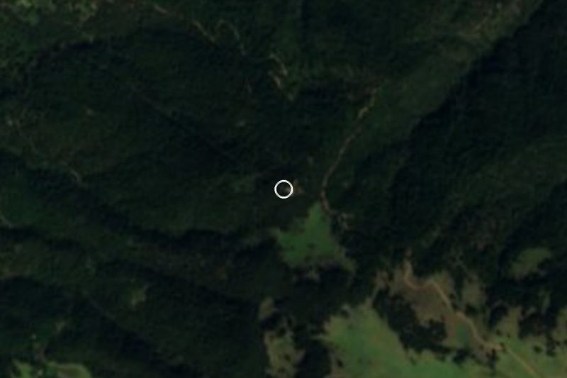


Drive times by road from OpenStreetMap, without traffic. Times marked ~ are estimated from the straight-line distance.
Location from OpenStreetMap. Written by Puebloteca.