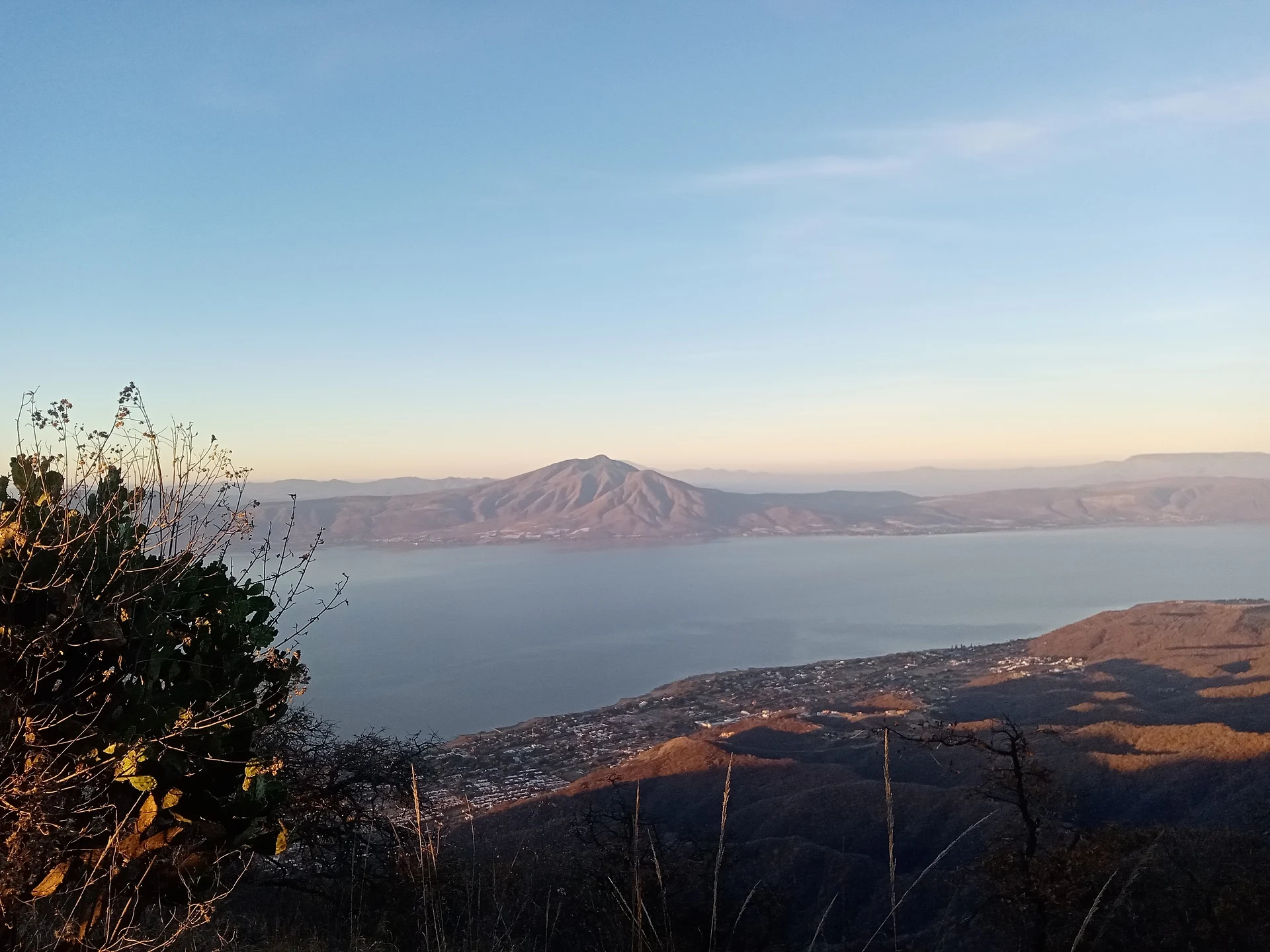
Lake Chapala, Jalisco Municipality of Chapala
Mexico's largest natural lake, about 80 km long on the Jalisco–Michoacán line, with Chapala, Ajijic and Mezcala Island on its shores.
From Sahuayo: 50 min by car (47 km by road) How to get there ↓
Near here
See everything nearby ↓



Plan your visit to Lago de Chapala
Where to stay near Lago de Chapala
Compare hotels, posadas and guest houses in Lago de Chapala.
Tours to Lago de Chapala
Day trips and guided outings from Ajijic often include Lago de Chapala; with a local guide you can get there without a car.
 Chapaleanding- Chapaleando en Chapala Jalisco
★ 5.0 (3) · From US$39
How to get to Lago de Chapala
- From Sahuayo: about 50 min by road (~47 km)
- Nearest airport: Guadalajara (GDL), 39 min by car to Ajijic
Links open a partner site. We may earn a commission if you book, at no cost to you.
Popular tours to Lago de Chapala
Tours, prices and ratings from Viator, checked weekly. We may earn a commission if you book.
About Lago de Chapala
Lake Chapala is Mexico's largest natural freshwater lake: about 80 km from east to west, up to 18 km wide and roughly 1,100 km² in area, lying at 1,520 metres above sea level about 45 km southeast of Guadalajara. Some 86% of the water surface is in Jalisco and the rest in Michoacán. For its size it is remarkably shallow, about 10 metres at most, and carbon dating of wood in its sediments puts its age at around 38,000 years.
The Lerma River feeds it along with the Zula, Duero and Huaracha, and the Río Grande de Santiago flows out of it, although with less water arriving down the Lerma almost nothing has left by that outlet for decades. Since the 1950s the lake has been Guadalajara's main water source, and it now supplies about 60% of the water reaching the metropolitan area. Pumping, pollution carried down the Lerma, silting and evaporation have lowered its level more than once, and water hyacinth covers patches of it in some seasons. In February 2009 it was listed as a Ramsar wetland of international importance.
The Jalisco shore belongs to the municipalities of Chapala, Jocotepec, Poncitlán, Ocotlán, Jamay, Tuxcueca and Tizapán el Alto; on the Michoacán side are Cojumatlán de Régules, Venustiano Carranza and Briseñas. The north shore between Chapala, Ajijic and San Juan Cosalá has drawn visitors since the 19th century, and since the 1950s one of the largest colonies of American and Canadian retirees in Mexico, estimated at around 30,000 people. The pre-Hispanic name is linked to Chimaloacán, while Chapala is usually traced to Chapatla or Chapatlán, after a local lord called Chapa.
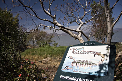
There are three islands: Mezcala, the largest; tiny Isla Menor beside it; and Isla de los Alacranes. Mezcala was the stronghold of lakeshore insurgents who held out against royalist attacks from 1812 until an armistice in November 1816, under which their leader, the priest Marcos Castellanos, was pardoned, and the ruins of the fort and later prison still stand there. In winter migratory birds arrive from the United States and Canada, above all American white pelicans, which gather in their thousands at Petatán Island on the Michoacán side. The lake is home to endemic fish such as several Chirostoma charal silversides and the Chapala chub, though a number of native species are threatened.
How to get to Lago de Chapala
Drive from Sahuayo: 50 min, 47 km
From Guadalajara take the Guadalajara–Chapala highway south, following signs for the airport and then for Chapala; the lake is about 45 km and roughly an hour's drive away, and the road runs straight down to the Chapala malecón. By bus, the Chapala line leaves hourly from Guadalajara's Antigua Central Camionera (the old bus station), takes about an hour and ends at the Chapala bus station a few blocks from the waterfront; Chapala Plus also runs direct first-class buses between the old station and Ajijic. For Mezcala Island, drive to the village of Mezcala, about 50 minutes from Ajijic, and hire a boat there; boats from Chapala or Ajijic cost much more.
Directions to Lago de Chapala on Google Maps
Distances are in a straight line; the road is usually longer.
Links open a partner site. We may earn a commission if you book, at no cost to you.
From the nearest cities to Lago de Chapala
- Sahuayo · 47 km by road, 50 min
- Ocotlán · 107 km by road, 1 h 45 min
- Guadalajara · 111 km by road, 1 h 45 min
Drive times by road from OpenStreetMap, without traffic or stops. Times marked ~ are estimated from the straight-line distance.
Before you go to Lago de Chapala: hours, prices and tips
- Entry
- Seeing the lake and walking the malecón is free. A boat from Mezcala village to the island costs about 250 pesos and a local guide on the island about 50 pesos; boats from Chapala or Ajijic can cost up to about 1,200 pesos. México Desconocido · checked Oct 2026
- Best time of day
- American white pelicans and other migratory birds winter on the lake, roughly from November to April. México Desconocido · checked Oct 2026
- Guide or tour
- On Mezcala Island it is worth hiring a local guide, who tells the story of the fort. Tours: Viator GetYourGuide México Desconocido · checked Oct 2026
Hours and prices change, especially around holidays. Each fact links to where we checked it.
Visiting Lago de Chapala: what to see and do
Walk the Chapala malecón, with its food stalls, playgrounds and the voladores spinning down from their pole.
Take a boat to Mezcala Island to see the ruins of the insurgents' fort, the chapel and the old prison.
Ride a launch from Chapala out to Isla de los Alacranes.
Stroll the waterfront and streets of Ajijic, the Pueblo Mágico on the north shore.
Watch the American white pelicans that winter at Petatán Island on the Michoacán side.
Visit Chapala's old railway station, now a cultural centre.
Plan your trip
Places to stay in Lago de Chapala
Compare hotels, posadas, and rentals in and around Lago de Chapala.
Tours & activities
Day trips and guided outings from Ajijic often include Lago de Chapala; with a local guide you can get there without a car.
Rental cars
Pick up a car at GDL (Guadalajara): about 39 min by road to Ajijic, then 23 km more to Lago de Chapala, on your own schedule.
Flights
The nearest airport with scheduled flights is Guadalajara (GDL), about 39 min by road from Ajijic, the base for Lago de Chapala.
Travel insurance
If you plan on swimming or kayaking at Lago de Chapala, check that your policy covers it: some plans leave adventure activities out.
Mobile data
Signal can drop away from Ajijic: download a map of the way to Lago de Chapala before you set out, or carry an eSIM with data.
Links open a partner site. We may earn a commission if you book, at no cost to you.
When to go to Lago de Chapala mild
Lago de Chapala shares the climate of Ajijic, 23 km away. The best months to visit are January, March, April, and November.
Lago de Chapala is best for swimming and time on the water in the warmest months (March, April, and May); in the rainiest ones (June, July, and August) expect storms in the afternoon.
See the month-by-month climate of Ajijic
Weather in Lago de Chapala now and the next 7 days
Live forecast from Open-Meteo. Chance of rain is the day's highest.
The closest Pueblo Mágico: Ajijic

Ajijic is the Pueblo Mágico closest to Lago de Chapala, with places to stay, food, and more to see.
Also close to
- Mazamitla · Jalisco · 35 km away
- Jiquilpan · Michoacán · 44 km away
- Tlaquepaque · Jalisco · 53 km away
- Cotija · Michoacán · 59 km away
- Sayula · Jalisco · 69 km away
Closest to Lago de Chapala
-
Isla de Mezcala · Landmark · 8 km away
-
Tizapán El Alto · Town · 8 km away
-
Isla de los Alacranes · Nature reserve · 13 km away
-
Santa Cruz de la Soledad · Village · 15 km away
-
Chapala · Town · 16 km away
-
Tuxcueca · Village · 16 km away
-
Atequiza · Town · 20 km away
-
Atotonilquillo · Town · 20 km away


Near Lago de Chapala

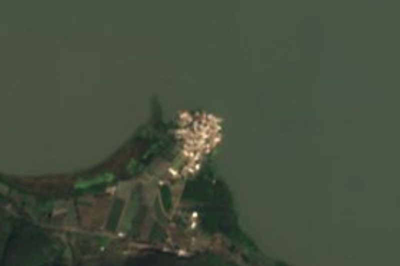


Drive times by road from OpenStreetMap, without traffic. Times marked ~ are estimated from the straight-line distance.
Lists with Lago de Chapala
Lakes and Lagoons in Jalisco · 7 Lakes and Lagoons near Ajijic · 3 Lakes and Lagoons near Guadalajara · 3Location from OpenStreetMap. Written by Puebloteca.