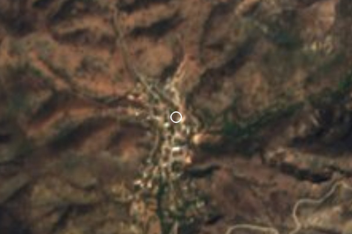
Village Caltepec, Puebla Tehuacán Valley
Small seat in the Sierra de Zapotitlán south of Tehuacán, with a 16th-century Assumption parish and an Easter fiesta with jaripeo and horse races.
From Tehuacán: 1 h by car (53 km by road) How to get there ↓
Near here
See everything nearby ↓


Plan your visit to Caltepec
Where to stay near Caltepec
Compare hotels, posadas and guest houses in Caltepec.
Tours to Caltepec
Day trips and guided outings from Huautla often include Caltepec; with a local guide you can get there without a car.
How to get to Caltepec
- From Tehuacán: about 1 h by road (~53 km)
- Nearest airport: Oaxaca (OAX), 3 h 34 min by car to Huautla
Links open a partner site. We may earn a commission if you book, at no cost to you.
About Caltepec
Caltepec is a municipal seat of just 391 people (2020 census), at about 1,890 m in the Sierra de Zapotitlán, south of Tehuacán and right against the Oaxaca line. The municipality it heads, by contrast, is large, with nearly 400 km² and 38 communities. Its Nahuatl name means "hill of the houses".
The land is dry, and grows drier from west to east: semi-arid and temperate in the north and west, dry and warm along the Río Hondo, which forms the border with Oaxaca at about 1,100 m. The highest point is Cerro Chicamole at 2,760 m. There is low deciduous forest with cardón, copal and pochote, oak and juniper woods to the south and maguey, yucca and sotol scrub to the north, home to bobcats, deer and roadrunners.
The municipal history says it was a Zapotec and Mixtec settlement before the Conquest. The Spaniards Tenorio and Medina took it in 1522, by 1531 it was a corregimiento, and in 1895 it became a free municipality.
The oldest building is the 16th-century parish church of Santa María de la Asunción, with a carved image of the Virgin and murals showing scenes from the life of Christ. The patron is honoured on 15 August with Masses and processions, but the liveliest celebration is for the Señor de la Misericordia on Easter Sunday and Monday, with jaripeo, horse races and cane games. In Santiago Coatepec, in the southeast of the municipality, there is a Pitahaya Fair. Local cooking means mole poblano, pipián and tamales, with champurrado or mezcal, and palm hats are woven in the municipality.
How to get to Caltepec
Drive from Tehuacán: 1 h, 53 km
Caltepec lies south of Zapotitlán Salinas on federal highway 125 from Tehuacán: follow the 125 for about 35 km from Tehuacán, then some 10 km along Calle Nacional to the centre, about 53 km and 1 hour in all. From Zapotitlán Salinas it is about 29 km and 37 minutes. From the city of Puebla it is about 180 km and 2 h 30 min via toll highway 150D, the 135D (Cuacnopalan-Oaxaca) and highway 125. From Huautla de Jiménez in Oaxaca, the nearest pueblo mágico, it is about 177 km and 3 hours via highways 182, 135 and 125. By bus, go from Puebla's CAPU to Tehuacán and ask there about transport to Caltepec.
Directions to Caltepec on Google Maps
Distances are in a straight line; the road is usually longer.
Links open a partner site. We may earn a commission if you book, at no cost to you.
From the nearest cities to Caltepec
- Tehuacán · 53 km by road, 1 h
- Huajuapan de León · 90 km by road, 1 h 50 min
- Córdoba · about 125 km by road, ~1 h 55 min
Drive times by road from OpenStreetMap, without traffic or stops. Times marked ~ are estimated from the straight-line distance.
Before you go to Caltepec: hours, prices and tips
- Best season
- Señor de la Misericordia fiesta on Easter Sunday and Monday; Assumption feast on 15 August. Enciclopedia de los Municipios de México (INAFED) · checked Oct 2026
Hours and prices change, especially around holidays. Each fact links to where we checked it.
Visiting Caltepec: what to see and do
The 16th-century parish church of Santa María de la Asunción and its murals.
The Señor de la Misericordia fiesta on Easter Sunday and Monday, with jaripeo and horse races.
The Assumption feast on 15 August.
The Sierra de Zapotitlán landscape and Cerro Chicamole (2,760 m).
The Pitahaya Fair in Santiago Coatepec.
Plan your trip
Places to stay in Caltepec
Compare hotels, posadas, and rentals in and around Caltepec.
Tours & activities
Day trips and guided outings from Huautla often include Caltepec; with a local guide you can get there without a car.
Rental cars
Pick up a car at OAX (Oaxaca): about 3 h 34 min by road to Huautla, then 66 km more to Caltepec, on your own schedule.
Flights
The nearest airport with scheduled flights is Oaxaca (OAX), about 3 h 34 min by road from Huautla, the base for Caltepec.
Mobile data
Signal can drop away from Huautla: download a map of the way to Caltepec before you set out, or carry an eSIM with data.
Links open a partner site. We may earn a commission if you book, at no cost to you.
When to go to Caltepec mild
Caltepec shares the climate of Huautla, 66 km away. The best months to visit are February, March, April, and May.
See the month-by-month climate of Huautla
Weather in Caltepec now and the next 7 days
Live forecast from Open-Meteo. Chance of rain is the day's highest.
The closest Pueblo Mágico: Huautla

Huautla is the Pueblo Mágico closest to Caltepec, with places to stay, food, and more to see.
Also close to
- Teposcolula · Oaxaca · 75 km away
Closest to Caltepec
-
Reserva de la Biosfera Tehuacán-Cuicatlán · Nature reserve · 9 km away
-
San Juan Atzingo · Village · 16 km away
-
Zapotitlán Salinas · Town · 17 km away
-
San Gabriel Chilac · Town · 21 km away
-
San Juan Raya · Village · 21 km away
-
San Antonio Texcala · Village · 24 km away
-
San José Miahuatlán · Town · 24 km away
-
Santa Ana Teloxtoc · Village · 24 km away

Near Caltepec





Drive times by road from OpenStreetMap, without traffic. Times marked ~ are estimated from the straight-line distance.
Location from OpenStreetMap. Written by Puebloteca.