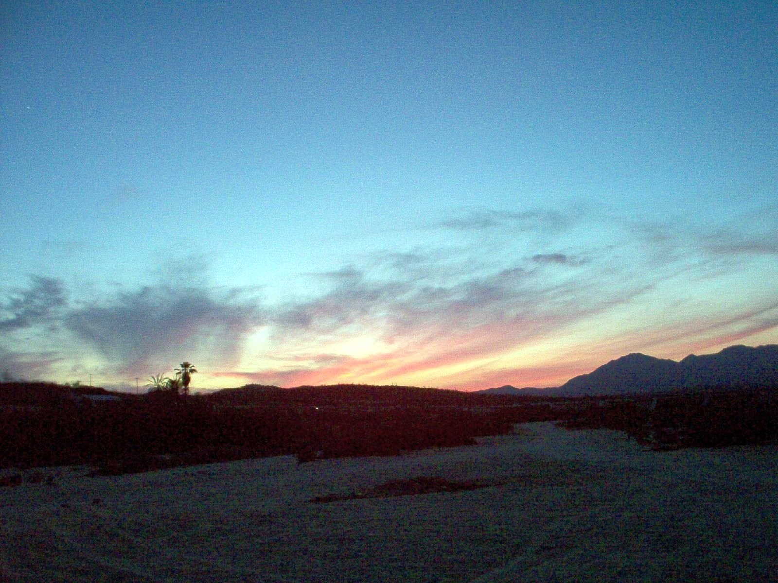
A region of Baja California Sur
The southern tip of the Baja California peninsula, where the Sea of Cortez meets the Pacific. Cabo San Lucas sits beside El Arco at Land's End, the older town of San José del Cabo lies about 30 km east around its mission and estuary, and between them the Tourist Corridor strings resorts, golf courses and a few sheltered coves good for snorkeling. Inland, ranch villages such as Santiago and Miraflores sit at the foot of the Sierra de la Laguna, and humpback whales pass offshore in winter.
10 places to visit
Map
Places to visit in Los Cabos 10
10 places with their own page, grouped by kind.
Beaches · 6 Cities · 2 Landmarks and museums · 2
Beaches
-
Bahía Chileno · Beach · Baja California Sur
A sheltered cove on the Los Cabos Corridor with a public beach, lifeguards and a reef you can snorkel straight from the sand. -
Bahía Santa María · Beach · Baja California Sur
A horseshoe cove on the Corridor with calm, clear water, a reef at both rocky ends and a free lot, restrooms and lifeguards. -
Playa El Médano · Beach · Baja California Sur
Cabo San Lucas's main swimming beach: a long, sheltered bay beach with beach clubs, water sports and Land's End at one end. -
Playa Migriño · Beach · Baja California Sur
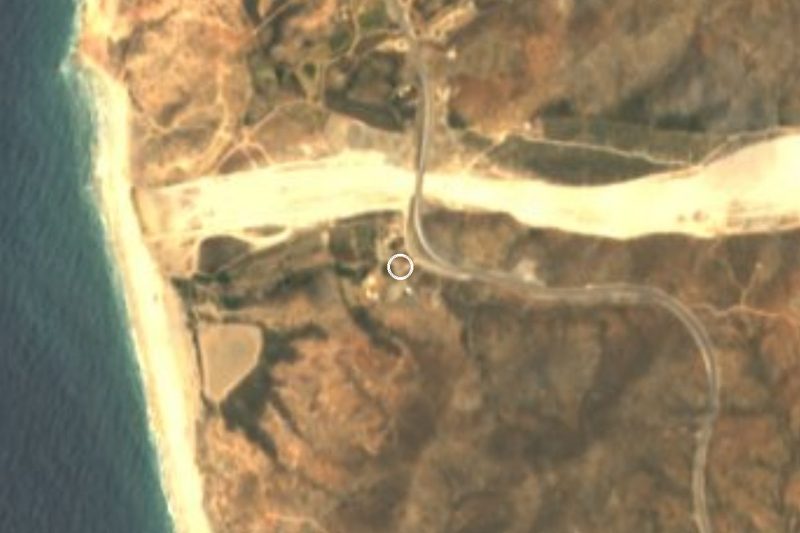
A wide Pacific beach with dunes north of Cabo San Lucas, known for camel and ATV tours; the surf and currents make swimming unsafe. -
Playa del Amor · Beach · Baja California Sur
Lover's Beach, the sheltered Sea of Cortez cove beside El Arco, reached only by water taxi; calm enough to swim and snorkel on most days. -
Playa del Divorcio · Beach · Baja California Sur
Divorce Beach, the Pacific side of the sand neck at Land's End: wide sand and heavy surf, reached through Playa del Amor. Not for swimming.




Cities
-
Cabo San Lucas · City · Baja California Sur
The resort city at the tip of Baja: a marina full of sportfishing boats, Médano Beach, loud nightlife and water taxis to El Arco. -
San José del Cabo · City · Baja California Sur
The older, quieter half of Los Cabos: a 1730 mission, Plaza Mijares, Thursday Art Walk in the gallery district and a freshwater estuary for birds.


Landmarks and museums
-
El Arco de Cabo San Lucas · Landmark · Baja California Sur
The granite sea arch at Land's End, the very tip of Baja, with a sea lion colony and Pelican Rock nearby; seen by boat from the Cabo marina. -
Marina Cabo San Lucas · Landmark · Baja California Sur
The harbour at the heart of Cabo San Lucas: yachts and sportfishing boats, a boardwalk, restaurants, and the dock for El Arco water taxis and whale tours.


Top tours in Los Cabos


Tours, prices and ratings from Viator, checked weekly. We may earn a commission if you book.
Getting around Los Cabos
Fly into Culiacán (CUL) and Los Cabos (SJD).
Cities to start from: Cabo San Lucas San José del Cabo
Most of the region is reached by road: a rental car is the easiest way to see several places in a day, and buses link the larger towns.
By boat or on foot from Marina de Cabo San Lucas: El Arco de Cabo San Lucas, Playa del Amor, Playa del Divorcio.
When to visit Los Cabos
Most of Los Cabos is at its best in January, February, March, and December.
Month-by-month climate on each Pueblo Mágico's page: Todos Santos, Mocorito, Cosalá