Town Tlalpan, Ciudad de México Municipality of Tlalpan Valley of Mexico
An original Tlalpan village at about 2,900 m below the volcano: a 1707 church, St Michael fairs in May and September, and the gateway to the national park.
From Mexico City: 35 min by car (28 km by road) How to get there ↓
Near here
See everything nearby ↓


Plan your visit to San Miguel Ajusco
Where to stay near San Miguel Ajusco
Compare hotels, posadas and guest houses in San Miguel Ajusco.
Tours to San Miguel Ajusco
Day trips around Tepoztlán sometimes stop in San Miguel Ajusco; a tour is the easy way to see it without a car.
 Tours from Mexico City
Teotihuacan pyramids morning or afternoon without tourist traps
★ 4.9 (10,269) · From US$59
How to get to San Miguel Ajusco
- From Mexico City: about 35 min by road (~28 km)
- Nearest airport: Mexico City (MEX), 1 h 25 min by car to Tepoztlán
Links open a partner site. We may earn a commission if you book, at no cost to you.
Tours from Mexico City, near San Miguel Ajusco


Tours, prices and ratings from Viator, checked weekly. We may earn a commission if you book.
About San Miguel Ajusco
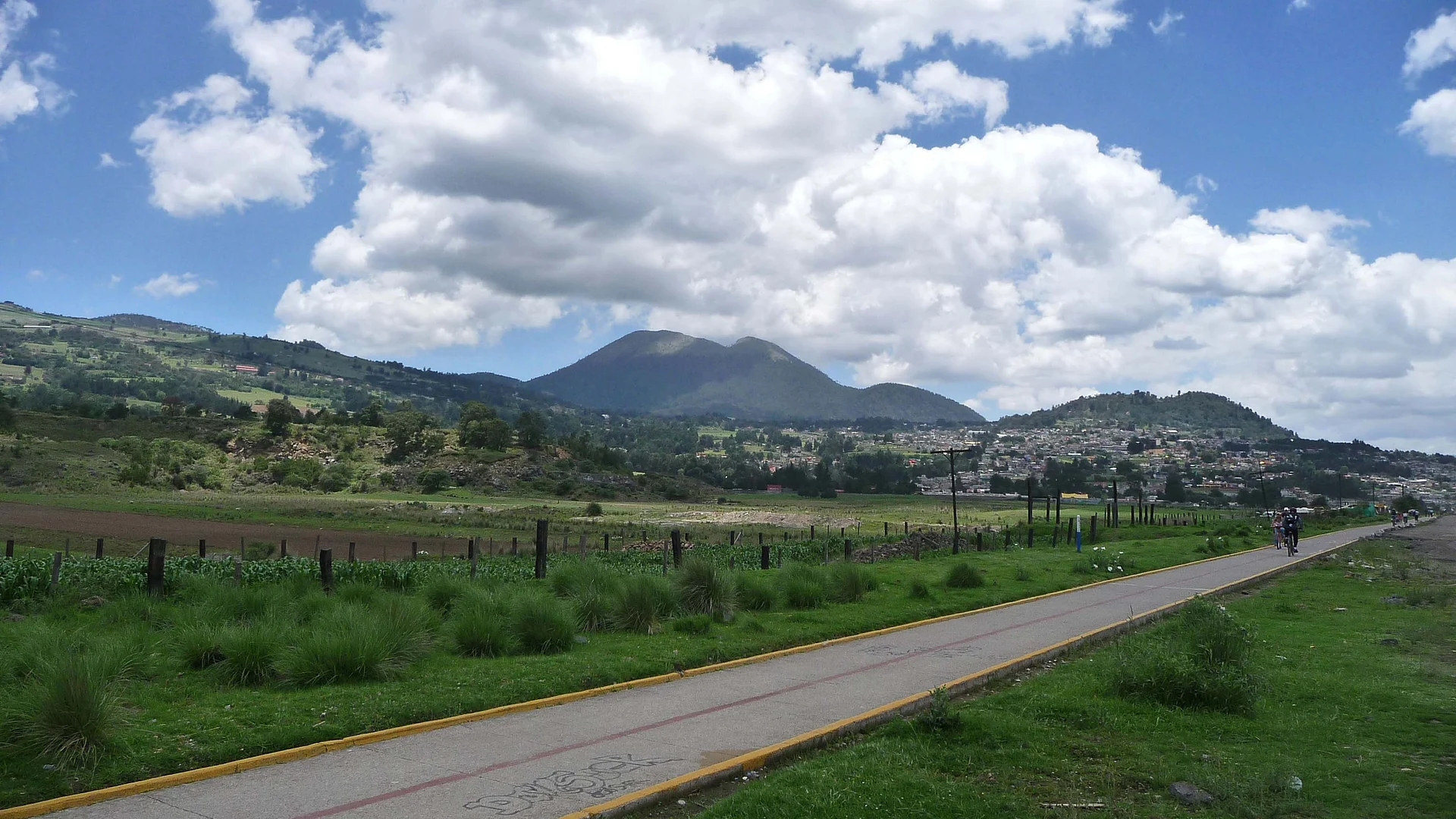
San Miguel Ajusco is one of the original villages of Tlalpan and the first stop on the road to Cumbres del Ajusco National Park. It sits at about 2,900 m on the volcano's lower slopes, among cornfields and forest, and with 37,282 people at the 2020 census it is a good deal more than a hamlet. Old documents give 1531 as the year it was founded as a pueblo, under the Nahuatl name Axochco, usually translated as "place of flowers where water springs". Tradition says that after the conquest the Archangel Michael appeared to the villagers at least three times, and he has been their patron ever since.
The church of San Miguel Arcángel on Calle Miguel Hidalgo dates from 1707. In the 20th century the parishioners themselves built a new nave and a chapel to the Sacred Heart, and the sanctuary keeps an 18th-century wooden carving of St Michael. Santo Tomás Ajusco, the neighbouring village, is less than a kilometre away; in its church atrium stands El Cuartillo, a ceremonial stone chest that some archaeologists place at the Tequipa pyramid, a late Postclassic Tepanec platform now abandoned and overgrown, 1.6 km from the centre.
The village honours its saint twice a year, on May 8 and September 29. Both are long celebrations, with family meals, a fair with rides, fireworks castles, rodeos, street dances and chinelo and arriero dancers; the May 2026 fair ran until the 17th, with free banda concerts. The rest of the year San Miguel Ajusco is a starting point for cyclists, since the bike path on the old Cuernavaca railway line sets out from here across farmland with the volcano behind. For anyone heading up to the Pico del Águila and the high part of the park, this is where you swap the bus for a local taxi.
How to get to San Miguel Ajusco
Drive from Mexico City: 35 min, 28 km
By public transport, go to Metro Universidad, the terminus of Line 3 (Indios Verdes–Universidad), and ask for the bus to San Miguel Ajusco; some buses show the name on the windshield. Depending on traffic the ride can take around 90 minutes. From the village a local taxi charges about 50 to 100 pesos to most spots in Cumbres del Ajusco National Park, 15 to 20 minutes away. By car it is about 28 km from the Zócalo (around 35 minutes without traffic): south on Calzada de Tlalpan and Viaducto Tlalpan, then the free México–Cuernavaca road; the other usual way is Periférico Sur and the Picacho–Ajusco road, lined with food stalls; from Metro Universidad it is about 17 km. Ride-hailing apps tend to be expensive for the distance. The church is on Calle Miguel Hidalgo s/n.
Directions to San Miguel Ajusco on Google Maps
Distances are in a straight line; the road is usually longer.
Links open a partner site. We may earn a commission if you book, at no cost to you.
From the nearest cities to San Miguel Ajusco
- Mexico City · 28 km by road, 35 min
- Cuernavaca · 46 km by road, 1 h 5 min
- Toluca · 68 km by road, 1 h 15 min
Drive times by road from OpenStreetMap, without traffic or stops. Times marked ~ are estimated from the straight-line distance.
Before you go to San Miguel Ajusco: hours, prices and tips
- Best season
- Feasts of St Michael the Archangel on May 8 and September 29, with a fair, rides, fireworks castles, rodeos, dances and chinelo and arriero dancers. In 2026 the May fair ran until the 17th, with free concerts. Wikipedia; Chilango · checked Oct 2026
Hours and prices change, especially around holidays. Each fact links to where we checked it.
Visiting San Miguel Ajusco: what to see and do
The church of San Miguel Arcángel, from 1707, with its 18th-century wooden carving of St Michael.
Santo Tomás Ajusco, less than a kilometre away, with El Cuartillo in its church atrium.
The Tequipa pyramid, a late Postclassic Tepanec platform, abandoned and overgrown.
The bike path on the old Cuernavaca railway line, leaving the village through the cornfields.
The Zapata monument beside the bike path, under a kilometre away.
The St Michael feasts on May 8 and September 29, with chinelos, arrieros, rodeo and fireworks castles.
Cumbres del Ajusco National Park and the climb to the Pico del Águila, about 15 to 20 minutes away by taxi.
Plan your trip
Places to stay in San Miguel Ajusco
Compare hotels, posadas, and rentals in and around San Miguel Ajusco.
Tours & activities
Day trips around Tepoztlán sometimes stop in San Miguel Ajusco; a tour is the easy way to see it without a car.
Rental cars
Pick up a car at MEX (Mexico City): about 1 h 25 min by road to Tepoztlán, then 28 km more to San Miguel Ajusco, on your own schedule.
Flights
The nearest airport with scheduled flights is Mexico City (MEX), about 1 h 25 min by road from Tepoztlán, the base for San Miguel Ajusco.
Mobile data
Signal can drop away from Tepoztlán: download a map of the way to San Miguel Ajusco before you set out, or carry an eSIM with data.
Links open a partner site. We may earn a commission if you book, at no cost to you.
When to go to San Miguel Ajusco mild
San Miguel Ajusco shares the climate of Tepoztlán, 28 km away. The best months to visit are January, February, March, and December.
See the month-by-month climate of Tepoztlán
Weather in San Miguel Ajusco now and the next 7 days
Live forecast from Open-Meteo. Chance of rain is the day's highest.
The closest Pueblo Mágico: Tepoztlán

Tepoztlán is the Pueblo Mágico closest to San Miguel Ajusco, with places to stay, food, and more to see.
Also close to
- Tlayacapan · Morelos · 37 km away
- Metepec · Estado de México · 42 km away
- Malinalco · Estado de México · 43 km away
- Xochitepec · Morelos · 48 km away
- Tepotzotlán · Estado de México · 55 km away
Closest to San Miguel Ajusco
-
Santo Tomás Ajusco · Village · 2 km away
-
San Andrés Totoltepec · Village · 5 km away
-
Ajusco · Mountain · 6 km away
-
Bosque de Tlalpan · Nature reserve · 8 km away
-
Parque nacional Fuentes Brotantes de Tlalpan · Nature reserve · 8 km away
-
Tlalpan · Town · 9 km away
-
Cuicuilco · Archaeological site · 10 km away
-
La Magdalena Contreras · Village · 10 km away


Near San Miguel Ajusco


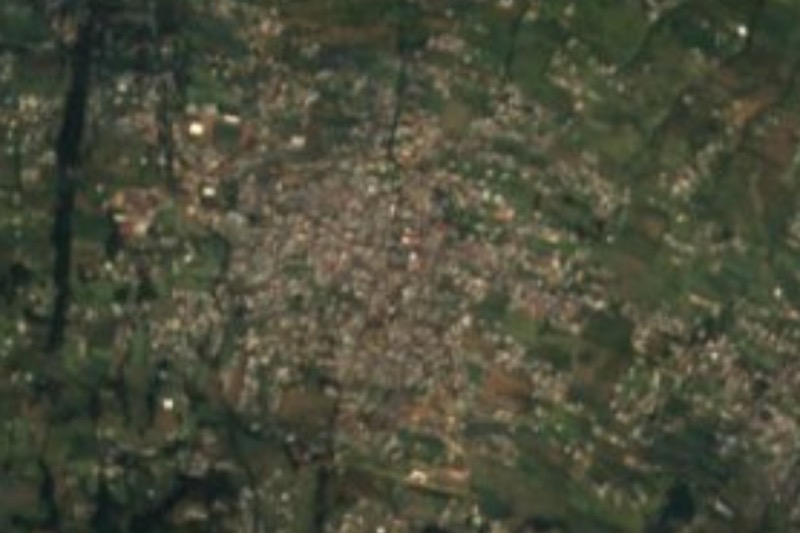


Drive times by road from OpenStreetMap, without traffic. Times marked ~ are estimated from the straight-line distance.
Location from OpenStreetMap. Written by Puebloteca.