Village Puerto Vallarta, Jalisco Municipality of Puerto Vallarta Banderas Bay
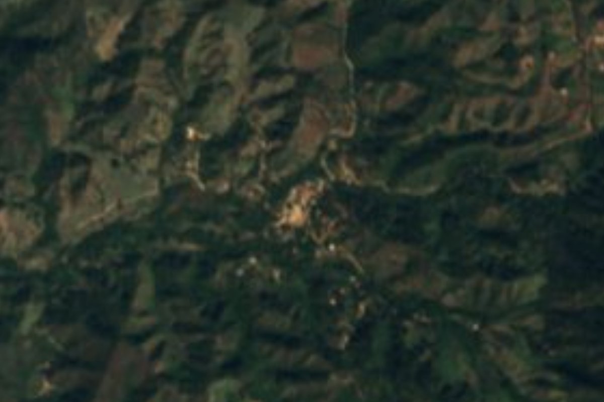
Mountain hamlet at about 750 m in the sierra behind Puerto Vallarta, at the end of the road past the Jorullo suspension bridge.
From Puerto Vallarta: 55 min by car (25 km by road) How to get there ↓
Near here
See everything nearby ↓


Plan your visit to Los Llanitos
Where to stay near Los Llanitos
Compare hotels, posadas and guest houses in Los Llanitos.
Tours to Los Llanitos
Day trips and guided outings from Mascota often include Los Llanitos; with a local guide you can get there without a car.
 ATV OR RZR- Escape to the mountains for 4 hours
★ 5.0 (358) · From US$102
How to get to Los Llanitos
- From Puerto Vallarta: about 55 min by road (~25 km)
- Nearest airport: Puerto Vallarta (PVR), 1 h 49 min by car to Mascota
Links open a partner site. We may earn a commission if you book, at no cost to you.
Popular tours to Los Llanitos

Tours, prices and ratings from Viator, checked weekly. We may earn a commission if you book.
About Los Llanitos
Los Llanitos is a small mountain settlement in the sierra behind Puerto Vallarta, in the rural south-east of the municipality, roughly 12 km from the city center as the crow flies. It sits at about 750 meters above sea level among forested ridges in the upper basin of the Río Cuale, the river that further downstream runs through the middle of Vallarta. The hamlet of El Jorullo, whose ejido built the long suspension bridge over the Cuale canyon, is about 2 km to the west, and Cerro Alto, at around 1,350 meters, rises just to the south-east.
The road that climbs here from the city is named after the village: the Camino Los Llanitos, which also leads to the River Park adventure park and its suspension bridges at kilometer 4.5. Beyond the park the road keeps climbing into the hills to Los Llanitos itself. The 2020 census counted 159 people living in 42 homes, up from 87 in 2005, and almost every home now has electricity, piped water and a mobile phone. The village has its own community secondary school. Being higher up, it is noticeably cooler and wetter than the coast, with an average of about 23 °C and rain on more than 200 days a year.
This is not a tourist village and there are no services for visitors. Its interest is as a glimpse of the green, quiet mountain country not far above the beaches, and as the end point of a scenic drive past El Jorullo. Like other outlying communities of the municipality it has long asked the city for better roads, and the road is unpaved in parts, so ask about conditions after heavy rain. Do not confuse it with the Los Llanitos neighborhood of Ixtapa, on the other side of the city, whose planned house of culture Vallarta's Mango Festival has raised money for.
How to get to Los Llanitos
Drive from Puerto Vallarta: 55 min, 25 km
From Puerto Vallarta, take the Camino Los Llanitos, the road that climbs into the hills toward River Park (its address is kilometer 4.5 of this road, in Los Almacenes), and keep going uphill past the park to the village. There is no public transport. River Park warns that the last part of the way to the park is unpaved and that some taxis and ride-share drivers will not take it, so a 4x4 or high-clearance car is the safer choice, especially in the rainy season.
Directions to Los Llanitos on Google Maps
Distances are in a straight line; the road is usually longer.
Links open a partner site. We may earn a commission if you book, at no cost to you.
From the nearest cities to Los Llanitos
- Puerto Vallarta · 25 km by road, 55 min
- Autlán · about 150 km by road, ~2 h 15 min
- Tepic · 199 km by road, 3 h 10 min
Drive times by road from OpenStreetMap, without traffic or stops. Times marked ~ are estimated from the straight-line distance.
Before you go to Los Llanitos: hours, prices and tips
- Best season
- Rain falls on about 220 days a year up here, far more often than on the coast, and the average temperature is about 23 °C; expect mud on the unpaved stretches in the rainy months. PueblosAmerica · checked Oct 2026
Hours and prices change, especially around holidays. Each fact links to where we checked it.
Visiting Los Llanitos: what to see and do
Drive the Camino Los Llanitos up into the sierra behind Puerto Vallarta.
Stop on the way at River Park to walk the Jorullo suspension bridge over the Cuale canyon.
Take in the forested ridges and the cooler mountain air around the village.
Look up at Cerro Alto, the 1,350 m peak just south-east of the village.
Plan your trip
Places to stay in Los Llanitos
Compare hotels, posadas, and rentals in and around Los Llanitos.
Tours & activities
Day trips and guided outings from Mascota often include Los Llanitos; with a local guide you can get there without a car.
Rental cars
Pick up a car at PVR (Puerto Vallarta): about 1 h 49 min by road to Mascota, then 36 km more to Los Llanitos, on your own schedule.
Flights
The nearest airport with scheduled flights is Puerto Vallarta (PVR), about 1 h 49 min by road from Mascota, the base for Los Llanitos.
Mobile data
Signal can drop away from Mascota: download a map of the way to Los Llanitos before you set out, or carry an eSIM with data.
Links open a partner site. We may earn a commission if you book, at no cost to you.
When to go to Los Llanitos mild
Los Llanitos shares the climate of Mascota, 36 km away. The best months to visit are January, March, November, and December.
See the month-by-month climate of Mascota
Weather in Los Llanitos now and the next 7 days
Live forecast from Open-Meteo. Chance of rain is the day's highest.
The closest Pueblo Mágico: Mascota

Mascota is the Pueblo Mágico closest to Los Llanitos, with places to stay, food, and more to see.
Also close to
- Talpa de Allende · Jalisco · 37 km away
- Sayulita · Nayarit · 49 km away
- San Sebastián del Oeste · Jalisco · 59 km away
- Amatlán de Cañas · Nayarit · 78 km away
Closest to Los Llanitos
-
Puente Jorullo · Landmark · 8 km away
-
Ecoparque El Nogalito · Landmark · 11 km away
-
Cascadas de Mismaloya · Waterfall · 12 km away
-
Cascada Palo María · Waterfall · 13 km away
-
ChocoMuseo · Landmark · 13 km away
-
El Edén de Mismaloya · Landmark · 13 km away
-
Faro de Matamoros · Landmark · 13 km away
-
Gringo Gulch · Landmark · 13 km away


Near Los Llanitos


Drive times by road from OpenStreetMap, without traffic. Times marked ~ are estimated from the straight-line distance.
Location from OpenStreetMap. Written by Puebloteca.