Landmark Puerto Vallarta, Jalisco Municipality of Puerto Vallarta Banderas Bay
A 470 m suspension bridge hung 150 m over the Cuale River canyon in the hills behind Vallarta, crossed on foot or by ATV in the ejido's River Park.
From Puerto Vallarta: 20 min by car (10 km by road) How to get there ↓
Near here
See everything nearby ↓


Plan your visit to Puente Jorullo
Where to stay near Puente Jorullo
Compare hotels, posadas and guest houses in Puente Jorullo.
Tours to Puente Jorullo
Look for tours of the area around Sayulita that stop at Puente Jorullo.
 Puerto Vallarta Zipline, Mule ride and Jorullo Bridge Walking
★ 4.6 (13) · From US$99
How to get to Puente Jorullo
- From Puerto Vallarta: about 20 min by road (~10 km)
- Nearest airport: Puerto Vallarta (PVR), 41 min by car to Sayulita
Links open a partner site. We may earn a commission if you book, at no cost to you.
Popular tours to Puente Jorullo

Tours, prices and ratings from Viator, checked weekly. We may earn a commission if you book.
About Puente Jorullo
The Puente Jorullo is a suspension bridge strung across the canyon of the Cuale River in the foothills of the Sierra Madre, about 5 km inland from Puerto Vallarta, on the land of the ejido El Jorullo. It is 470 m long and hangs about 150 m above the river, the same river that further downstream runs through the middle of the city. It was built for vehicles as well as walkers, and its operators bill it as the longest vehicular suspension bridge in the world, a claim that has not been independently checked.
The bridge is the work of the ejido's own tourism cooperative. El Jorullo was founded in 1940 with 180 inhabitants and 157 ejidatarios, who farm, carve wood and leather, and since 2006 have run an ecotourism park, first known as Canopy River and now as River Park, which began with a zip line and added ATV, mule and rafting trips. Work on the bridge started in November 2015, took about 18 months and was finished in May 2017. In December 2023 the park opened Jorullo Point, a lookout with a glass floor reached by a second suspension bridge about 200 m long and more than 100 m high, with a 360° view of the mountains, the Cuale River and the sea.
You cannot just drive up and walk across: the bridge is inside the park, and you visit it with one of its tours or a day pass. Most people cross on the ATV and RZR tours, which drive dirt tracks through the jungle, stop to swim at the El Salto waterfall and then cross the bridge; there are also hiking, horseback and zip-line combinations. Walking across takes about five minutes, with the river far below.
How to get to Puente Jorullo
Drive from Puerto Vallarta: 20 min, 10 km
The bridge is inside River Park (formerly Canopy River), Camino Los Llanitos km 4.5, Los Almacenes, about 25 minutes from downtown Puerto Vallarta. Tours and day passes include transport from Puerto Vallarta. If you go on your own, the last stretch is an unpaved road: some taxis and ride-share drivers will not take it, and a 4x4 or AWD car is advisable.
Directions to Puente Jorullo on Google Maps
Distances are in a straight line; the road is usually longer.
Links open a partner site. We may earn a commission if you book, at no cost to you.
From the nearest cities to Puente Jorullo
- Puerto Vallarta · 10 km by road, 20 min
- Autlán · about 165 km by road, ~2 h 25 min
- Tepic · 184 km by road, 2 h 35 min
Drive times by road from OpenStreetMap, without traffic or stops. Times marked ~ are estimated from the straight-line distance.
Before you go to Puente Jorullo: hours, prices and tips
- Hours
- The park is open every day of the year, 9 am to 5 pm. River Park (Canopy River) · checked Oct 2026
- Entry
- A day pass with the suspension bridge, the Jorullo Point glass lookout and the pool costs from about 1,020 pesos including transport; the ATV tour with the bridge starts at about 2,380 pesos. River Park (Canopy River) · checked Oct 2026
- Time needed
- Tours and day passes take about 5 to 6 hours plus transport; walking across the bridge itself takes about five minutes. River Park (Canopy River) · checked Oct 2026
- Guide or tour
- The bridge is only reached through the park's tours or passes (ATV, RZR, hiking, horseback or day pass); the operator is the ejido's River Park. Tours: Viator GetYourGuide PuertoVallarta.net · checked Oct 2026
- What to bring
- A swimsuit and a change of clothes, since most activities involve water, and insect repellent in the rainy season. River Park (Canopy River) · checked Oct 2026
Hours and prices change, especially around holidays. Each fact links to where we checked it.
Visiting Puente Jorullo: what to see and do
Walk the 470 m bridge with the Cuale River 150 m below.
Cross it on an ATV or RZR tour through the jungle tracks of the Sierra Madre.
Swim at the El Salto waterfall on the way.
Stand on the glass floor of the Jorullo Point lookout, reached by a second hanging bridge.
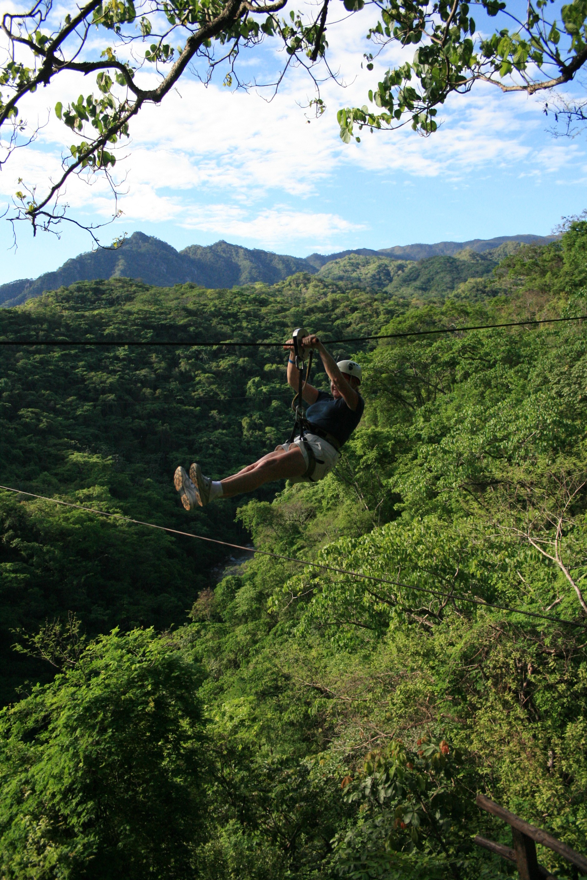
Add the park's zip lines or a mule or horseback ride.
Plan your trip
Places to stay in Puente Jorullo
Compare hotels, posadas, and rentals in and around Puente Jorullo.
Tours & activities
Look for tours of the area around Sayulita that stop at Puente Jorullo.
Rental cars
Pick up a car at PVR (Puerto Vallarta): about 41 min by road to Sayulita, then 41 km more to Puente Jorullo, on your own schedule.
Flights
The nearest airport with scheduled flights is Puerto Vallarta (PVR), about 41 min by road from Sayulita, the base for Puente Jorullo.
Mobile data
Signal can drop away from Sayulita: download a map of the way to Puente Jorullo before you set out, or carry an eSIM with data.
Links open a partner site. We may earn a commission if you book, at no cost to you.
When to go to Puente Jorullo warm
Puente Jorullo shares the climate of Sayulita, 41 km away. The best months to visit are March, April, May, and November.
See the month-by-month climate of Sayulita
Weather in Puente Jorullo now and the next 7 days
Live forecast from Open-Meteo. Chance of rain is the day's highest.
The closest Pueblo Mágico: Sayulita

Sayulita is the Pueblo Mágico closest to Puente Jorullo, with places to stay, food, and more to see.
Also close to
- Mascota · Jalisco · 43 km away
- Talpa de Allende · Jalisco · 45 km away
- San Sebastián del Oeste · Jalisco · 65 km away
- Compostela · Nayarit · 80 km away
Closest to Puente Jorullo
-
Ecoparque El Nogalito · Landmark · 4 km away
-
ChocoMuseo · Landmark · 5 km away
-
Faro de Matamoros · Landmark · 5 km away
-
Gringo Gulch · Landmark · 5 km away
-
Isla del Río Cuale · Island · 5 km away
-
Malecón de Puerto Vallarta · Landmark · 5 km away
-
Mercado Municipal Río Cuale · Landmark · 5 km away
-
Mirador Cerro de la Cruz · Viewpoint · 5 km away


Near Puente Jorullo


Drive times by road from OpenStreetMap, without traffic. Times marked ~ are estimated from the straight-line distance.
Location from OpenStreetMap. Written by Puebloteca.