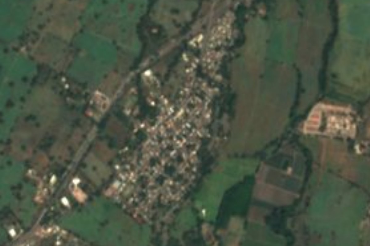
Town Cuauhtémoc, Colima Municipality of Cuauhtémoc Colima and its volcanoes
A sugarcane town in Cuauhtémoc, 10 minutes from Colima, known for its Candelaria fiestas and cane fields.
From Colima: about 10 min by road (~10 km) How to get there ↓
Near here
See everything nearby ↓



Plan your visit to El Trapiche
Where to stay near El Trapiche
Compare hotels, posadas and guest houses in El Trapiche.
Tours to El Trapiche
Day trips around Comala sometimes stop in El Trapiche; a tour is the easy way to see it without a car.
 Tours from Manzanillo
Private Chichen Itza & Yaxunah Ruins with Cenote
★ 4.8 (111) · From US$518
How to get to El Trapiche
- From Colima: about 10 min by road (~10 km)
- Nearest airport: Colima (CLQ), 32 min by car to Comala
Links open a partner site. We may earn a commission if you book, at no cost to you.
Tours from Manzanillo, near El Trapiche


Tours, prices and ratings from Viator, checked weekly. We may earn a commission if you book.
About El Trapiche
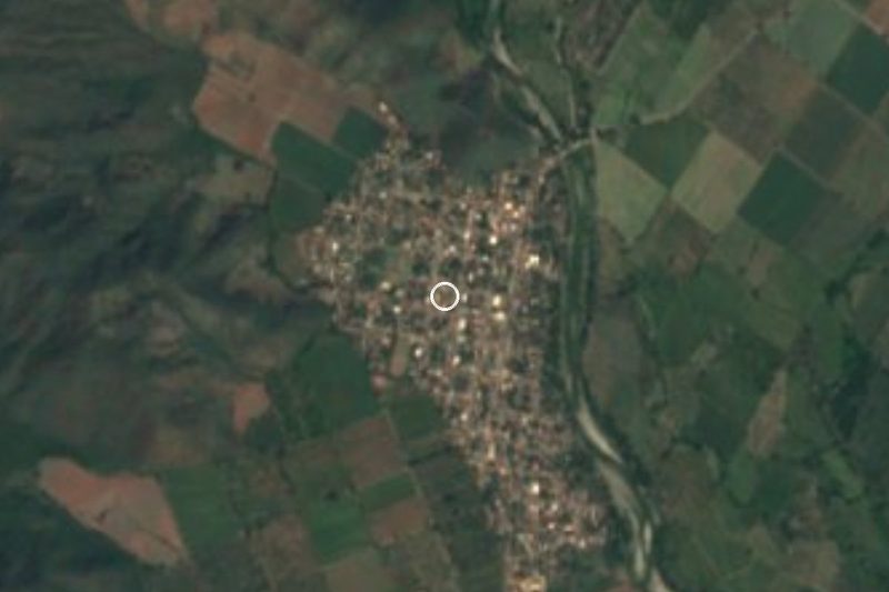
El Trapiche sits in Cuauhtémoc municipality right on the edge of the state capital: Colima's first streets are about three kilometres away and its historic centre seven. With 3,328 people in 2020 it is the municipality's third-largest community, and it has grown steadily since 1910, when it counted just 614. It lies around 645 m above sea level, on the lower slopes that rise toward the volcanoes.
The name is literal. A trapiche is a mill for crushing sugarcane, and cane fields still surround the town. It has its own Junta Municipal (a local council), a main garden square in front of the church, and keeps a village feel despite being so close to the city.
The big event is the fiesta for the Virgen de la Candelaria, about ten days ending on February 2. In 2026 it ran from January 24 to February 2 with daily receptions, bullfights in the local ring, street dances, fairground rides, a night-time horseback parade and fireworks on the final day, while the parish held masses, pilgrimages and dawn rosaries from January 22. Events in the square are free and start around 8:30 pm.
On the road toward San Joaquín, just before the Las Cañas stream, four huge volcanic boulders stand in a line 81 metres long, with carvings and hollows on their tops; they were reported to INAH in 2021 as a possible ceremonial site. They sit on fenced private land, and you can only make them out when the cane is low.
How to get to El Trapiche
El Trapiche is 10 min from Colima, 9 km by the El Trapiche–Colima road, which enters the city by the University of Colima law school and the Tercer Anillo ring road. From Comala it is 20 min and 15 km by road.
Without a car: the San Joaquín–Los Rojos city bus route runs through El Trapiche and into Colima along the El Trapiche–Colima road, past the law school, the Tercer Anillo, Paseo Miguel de la Madrid, the Glorieta de los Perritos, Avenida Benito Juárez and La Lechera to the Los Rojos bus station, where intercity buses arrive.
The US State Department keeps a crime-related travel advisory on Colima state; check the current level before you go.
Directions to El Trapiche on Google Maps
Distances are in a straight line; the road is usually longer.
Links open a partner site. We may earn a commission if you book, at no cost to you.
From the nearest cities to El Trapiche
- Colima · about 10 km by road, ~10 min
- Tecomán · about 60 km by road, ~55 min
- Ciudad Guzmán · about 65 km by road, ~1 h
Drive times by road from OpenStreetMap, without traffic or stops. Times marked ~ are estimated from the straight-line distance.
Before you go to El Trapiche: hours, prices and tips
- Best season
- Virgen de la Candelaria fiesta: about ten days ending February 2 (in 2026, January 24 to February 2). Colima Noticias · checked Oct 2026
Hours and prices change, especially around holidays. Each fact links to where we checked it.
Visiting El Trapiche: what to see and do
Main square and the town church
Virgen de la Candelaria fiesta (late January to February 2)
The bullring during the fiesta
Night horseback parade and fireworks tower on the last day
Cane fields on the road to San Joaquín
The line of four volcanic boulders before the Las Cañas stream (private land, view from the road only)
Plan your trip
Places to stay in El Trapiche
Compare hotels, posadas, and rentals in and around El Trapiche.
Tours & activities
Day trips around Comala sometimes stop in El Trapiche; a tour is the easy way to see it without a car.
Rental cars
Pick up a car at CLQ (Colima): about 32 min by road to Comala, then 11 km more to El Trapiche, on your own schedule.
Flights
The nearest airport with scheduled flights is Colima (CLQ), about 32 min by road from Comala, the base for El Trapiche.
Mobile data
Signal can drop away from Comala: download a map of the way to El Trapiche before you set out, or carry an eSIM with data.
Links open a partner site. We may earn a commission if you book, at no cost to you.
When to go to El Trapiche warm
El Trapiche shares the climate of Comala, 11 km away. The best months to visit are January, February, November, and December.
See the month-by-month climate of Comala
Weather in El Trapiche now and the next 7 days
Live forecast from Open-Meteo. Chance of rain is the day's highest.
The closest Pueblo Mágico: Comala

Comala is the Pueblo Mágico closest to El Trapiche, with places to stay, food, and more to see.
Also close to
Closest to El Trapiche
-
Zona Arqueológica El Chanal · Archaeological site · 5 km away
-
Zona Arqueológica La Campana · Archaeological site · 7 km away
-
Centro Histórico de Colima · Landmark · 8 km away
-
Colima · City · 8 km away
-
Cuauhtémoc · Town · 8 km away
-
Villa de Álvarez · City · 8 km away
-
Nogueras · Town · 10 km away
-
Suchitlán · Town · 12 km away


Near El Trapiche




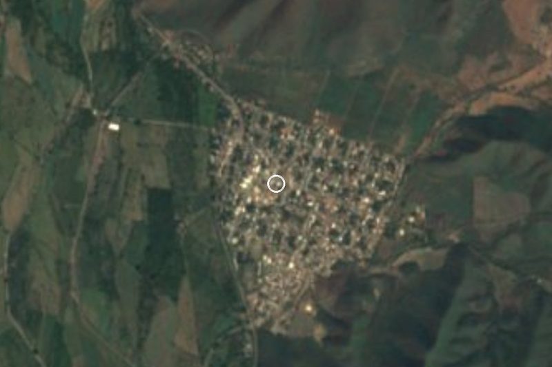


Drive times by road from OpenStreetMap, without traffic. Times marked ~ are estimated from the straight-line distance.
Location from OpenStreetMap. Written by Puebloteca.