Town Cuauhtémoc, Colima Municipality of Cuauhtémoc Colima and its volcanoes
A sugar town at 1,260 m among cane fields below the Colima volcano, with a working mill and a museum of cane and sugar.
From Colima: about 25 min by road (~30 km) How to get there ↓
Near here
See everything nearby ↓



Plan your visit to Quesería
Where to stay near Quesería
Compare hotels, posadas and guest houses in Quesería.
Tours to Quesería
Day trips around Comala sometimes stop in Quesería; a tour is the easy way to see it without a car.
 Tours from Manzanillo
Private Chichen Itza & Yaxunah Ruins with Cenote
★ 4.8 (111) · From US$518
How to get to Quesería
- From Colima: about 25 min by road (~30 km)
- Nearest airport: Colima (CLQ), 32 min by car to Comala
Links open a partner site. We may earn a commission if you book, at no cost to you.
Tours from Manzanillo, near Quesería


Tours, prices and ratings from Viator, checked weekly. We may earn a commission if you book.
About Quesería
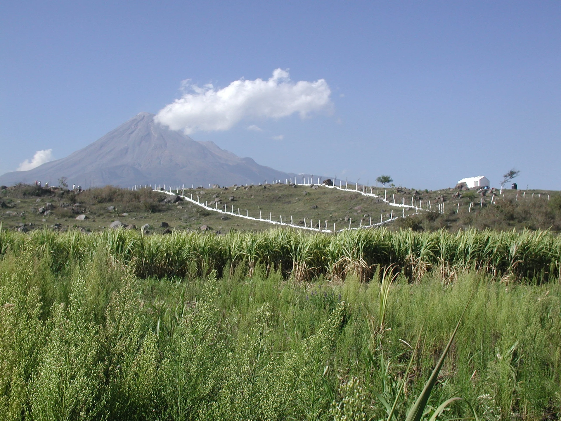
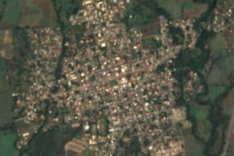
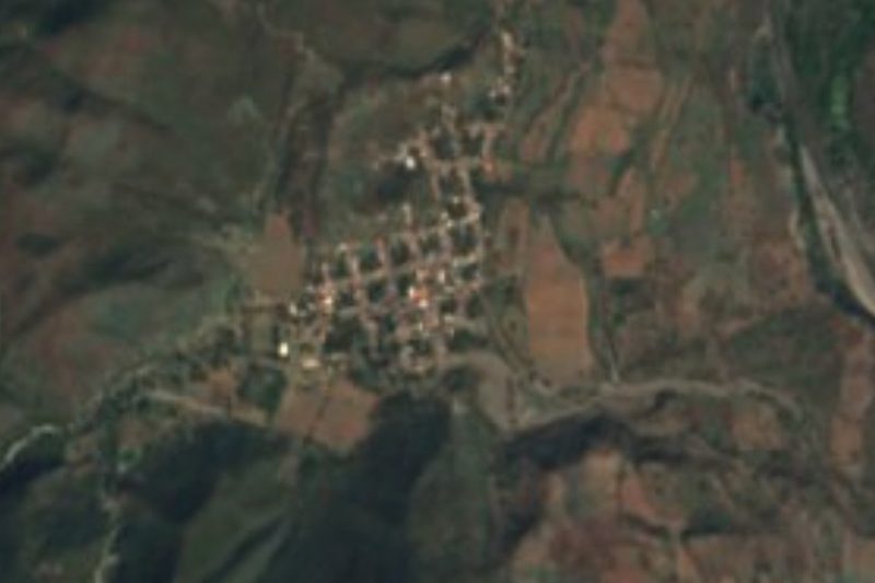
Quesería is the largest community in the municipality of Cuauhtémoc, with 9,931 people in 2020, slightly more than the municipal seat 13 km to the south. It sits at about 1,260 metres on the lower slopes of the Colima volcano and is part of the Colima metropolitan area. Sugarcane surrounds it on every side, running up to stony volcanic hills with the volcano's cone behind.
Sugar is the thread of its history. Friar Antonio Pérez set up the first cane mill here in 1645. Today the Quesería mill belongs to the Beta San Miguel group, which runs ten mills across Mexico, and still sets the town's pace during the harvest. The railway arrived in the early 20th century: the Quesería bridge, a steel trestle at kilometre 227 of the Mexican Central's extension to Colima, was photographed when it was new.
The Museo de la Caña y el Azúcar, on Avenida 20 de Noviembre, was put together with donations from residents and the mill. Its three rooms show farm tools, the equipment of the sugar industry, and religious art from the mill's chapel, along with documents, photographs, books by local writers and old vestments worn by the town's priests. It is a stop on the municipality's Ruta de la Caña.
How to get to Quesería
Quesería is 25 minutes from Colima city, 27 km by road: head northeast on federal highway 54 towards Guadalajara, pass Cuauhtémoc and carry on about 13 km north as the land rises towards the volcano. From Comala, the nearest Pueblo Mágico, it is 35 minutes and 34 km. The museum is on Avenida 20 de Noviembre in the centre and opens Monday to Friday, 9:00 to 14:00. The US State Department rates Colima state Level 4, Do Not Travel, except the tourist area of Manzanillo; travel in daylight.
Directions to Quesería on Google Maps
Distances are in a straight line; the road is usually longer.
Links open a partner site. We may earn a commission if you book, at no cost to you.
From the nearest cities to Quesería
- Colima · about 30 km by road, ~25 min
- Ciudad Guzmán · about 50 km by road, ~45 min
- Tecomán · about 80 km by road, ~1 h 10 min
Drive times by road from OpenStreetMap, without traffic or stops. Times marked ~ are estimated from the straight-line distance.
Before you go to Quesería: hours, prices and tips
- Hours
- Museo de la Caña y el Azúcar: Monday to Friday, 9:00 to 14:00. Programa Destinos México · checked Oct 2026
Hours and prices change, especially around holidays. Each fact links to where we checked it.
Visiting Quesería: what to see and do
The Museo de la Caña y el Azúcar, with three rooms on farm life, the mill and the art of its chapel.
The sugar mill, the town's economic heart.
Cane fields with the Colima volcano behind them.
The Ruta de la Caña y sus Sabores sugarcane route, which stops at the museum.
Plan your trip
Places to stay in Quesería
Compare hotels, posadas, and rentals in and around Quesería.
Tours & activities
Day trips around Comala sometimes stop in Quesería; a tour is the easy way to see it without a car.
Rental cars
Pick up a car at CLQ (Colima): about 32 min by road to Comala, then 21 km more to Quesería, on your own schedule.
Flights
The nearest airport with scheduled flights is Colima (CLQ), about 32 min by road from Comala, the base for Quesería.
Mobile data
Signal can drop away from Comala: download a map of the way to Quesería before you set out, or carry an eSIM with data.
Links open a partner site. We may earn a commission if you book, at no cost to you.
When to go to Quesería warm
Quesería shares the climate of Comala, 21 km away. The best months to visit are January, February, November, and December.
See the month-by-month climate of Comala
Weather in Quesería now and the next 7 days
Live forecast from Open-Meteo. Chance of rain is the day's highest.
The closest Pueblo Mágico: Comala

Comala is the Pueblo Mágico closest to Quesería, with places to stay, food, and more to see.
Also close to
Closest to Quesería
-
Tonila · Town · 4 km away
-
Cuauhtémoc · Town · 7 km away
-
Laguna Carrizalillos · Lake · 11 km away
-
Suchitlán · Town · 14 km away
-
El Trapiche · Town · 15 km away
-
Volcán de Colima · Mountain · 15 km away
-
Laguna La María · Lake · 16 km away
-
Zona Arqueológica El Chanal · Archaeological site · 17 km away


Near Quesería




Drive times by road from OpenStreetMap, without traffic. Times marked ~ are estimated from the straight-line distance.
Location from OpenStreetMap. Written by Puebloteca.