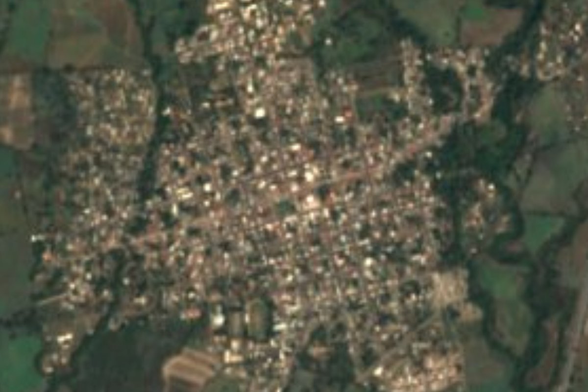
Town Cuauhtémoc, Colima Municipality of Cuauhtémoc Colima and its volcanoes
A municipal seat below the volcanoes that began as a muleteers' stop on the Camino Real; its October music parade draws thousands of riders.
From Colima: about 20 min by road (~20 km) How to get there ↓
Near here
See everything nearby ↓


Plan your visit to Cuauhtémoc
Where to stay near Cuauhtémoc
Compare hotels, posadas and guest houses in Cuauhtémoc.
Tours to Cuauhtémoc
Day trips around Comala sometimes stop in Cuauhtémoc; a tour is the easy way to see it without a car.
 Tours from Manzanillo
Private Chichen Itza & Yaxunah Ruins with Cenote
★ 4.8 (111) · From US$518
How to get to Cuauhtémoc
- From Colima: about 20 min by road (~20 km)
- Nearest airport: Colima (CLQ), 32 min by car to Comala
Links open a partner site. We may earn a commission if you book, at no cost to you.
Tours from Manzanillo, near Cuauhtémoc


Tours, prices and ratings from Viator, checked weekly. We may earn a commission if you book.
About Cuauhtémoc
Cuauhtémoc is the seat of the municipality of the same name in northeastern Colima, about 940 metres up and 15 km from the state capital. It had 9,746 people in 2020 and belongs to the Colima metropolitan area. The climate is warm and fairly humid, averaging 23.7 °C, with rain from May to October.
The town grew up beside the Camino Real, the colonial road from Mexico City down to Colima and the port of Manzanillo. Ranches along it fed and housed passing muleteers, and by about 1850 the cluster was called the Ranchos de San Jerónimo. Colima's Congress made it a pueblo in 1879 under the name Guatimotzín, the 19th-century spelling of the last Aztec ruler's name, and on February 1, 1919 it became the seat of a new municipality, now spelled Cuauhtémoc. Francisco I. Madero and later Álvaro Obregón stayed here during the Revolution, and the Cristero war in Colima began in the municipality on February 28, 1927, at the battle of the Mascadas de Caña ranch. In 2013 Cuauhtémoc became the first municipality in the state to hold a same-sex wedding.
The big event is the October fiesta for San Jerónimo and the archangels, centred on San Rafael: two weeks of charro and bullfighting festivities, the toro de once and street dances, second in the state only to Villa de Álvarez. It opens with the Entrada de la Música, born here over 170 years ago, when townspeople met the brass bands from Tuxpan with decorated carts; today it is a cavalcade of up to 5,000 riders.
How to get to Cuauhtémoc
Cuauhtémoc is 15 minutes from Colima city, 18 km by road, heading northeast on federal highway 54 towards Guadalajara, which here runs as a four-lane toll motorway alongside a free two-lane road. From Comala, the nearest Pueblo Mágico, it is 25 minutes and 24 km. Colima's airport (Licenciado Miguel de la Madrid) is close to town. During its festival (April 17-19 in 2026) the guided sugarcane route leaves the main square at 8:00 and lasts about six and a half hours. The US State Department rates Colima state Level 4, Do Not Travel, except the tourist area of Manzanillo; travel in daylight.
Directions to Cuauhtémoc on Google Maps
Distances are in a straight line; the road is usually longer.
Links open a partner site. We may earn a commission if you book, at no cost to you.
From the nearest cities to Cuauhtémoc
- Colima · about 20 km by road, ~20 min
- Ciudad Guzmán · about 55 km by road, ~50 min
- Tecomán · about 70 km by road, ~1 h 5 min
Drive times by road from OpenStreetMap, without traffic or stops. Times marked ~ are estimated from the straight-line distance.
Before you go to Cuauhtémoc: hours, prices and tips
- Best season
- The patron-saint and charro-bullfighting fiesta runs for 15 days in October and opens with the Entrada de la Música cavalcade. Wikipedia · checked Oct 2026
- Guide or tour
- The sugarcane route runs with a certified guide, leaving the main square at 8:00 and lasting about 6 h 30 min. Tours: Viator GetYourGuide Uno TV · checked Oct 2026
Hours and prices change, especially around holidays. Each fact links to where we checked it.
Visiting Cuauhtémoc: what to see and do
The Entrada de la Música, the cavalcade with brass bands that opens the October fiesta.
The October charro and bullfighting festivities: bullfights, the toro de once and the fair's dances.
The main square, starting point of the sugarcane route and stage for its festival concerts.
The Ruta de la Caña y sus Sabores: the Quesería museum, a rum distillery, chocolate, the Hacienda de Chiapa and a brewery.
Views of the Colima volcanoes to the north of the municipality.
Plan your trip
Places to stay in Cuauhtémoc
Compare hotels, posadas, and rentals in and around Cuauhtémoc.
Tours & activities
Day trips around Comala sometimes stop in Cuauhtémoc; a tour is the easy way to see it without a car.
Rental cars
Pick up a car at CLQ (Colima): about 32 min by road to Comala, then 17 km more to Cuauhtémoc, on your own schedule.
Flights
The nearest airport with scheduled flights is Colima (CLQ), about 32 min by road from Comala, the base for Cuauhtémoc.
Mobile data
Signal can drop away from Comala: download a map of the way to Cuauhtémoc before you set out, or carry an eSIM with data.
Links open a partner site. We may earn a commission if you book, at no cost to you.
When to go to Cuauhtémoc warm
Cuauhtémoc shares the climate of Comala, 17 km away. The best months to visit are January, February, November, and December.
See the month-by-month climate of Comala
Weather in Cuauhtémoc now and the next 7 days
Live forecast from Open-Meteo. Chance of rain is the day's highest.
The closest Pueblo Mágico: Comala

Comala is the Pueblo Mágico closest to Cuauhtémoc, with places to stay, food, and more to see.
Also close to
Closest to Cuauhtémoc
-
Quesería · Town · 7 km away
-
El Trapiche · Town · 8 km away
-
Tonila · Town · 11 km away
-
Laguna Carrizalillos · Lake · 12 km away
-
Suchitlán · Town · 12 km away
-
Zona Arqueológica El Chanal · Archaeological site · 12 km away
-
Nogueras · Town · 15 km away
-
Zona Arqueológica La Campana · Archaeological site · 15 km away


Near Cuauhtémoc




Drive times by road from OpenStreetMap, without traffic. Times marked ~ are estimated from the straight-line distance.
Location from OpenStreetMap. Written by Puebloteca.