Village Lerma, Estado de México Municipality of Lerma Toluca Valley
A forest hamlet at about 3,000 m beside the México–Toluca highway; it began as a rail stop and is now a weekend stop for food, horses and gotcha.
From Toluca: 35 min by car (32 km by road) How to get there ↓
Near here
See everything nearby ↓


Plan your visit to Salazar
Where to stay near Salazar
Compare hotels, posadas and guest houses in Salazar.
Tours to Salazar
Day trips and guided outings from Metepec often include Salazar; with a local guide you can get there without a car.
 Tours from Mexico City
Teotihuacan pyramids morning or afternoon without tourist traps
★ 4.9 (10,269) · From US$59
How to get to Salazar
- From Toluca: about 35 min by road (~32 km)
- Nearest airport: Toluca (TLC), 17 min by car to Metepec
Links open a partner site. We may earn a commission if you book, at no cost to you.
Tours from Mexico City, near Salazar


Tours, prices and ratings from Viator, checked weekly. We may earn a commission if you book.
About Salazar
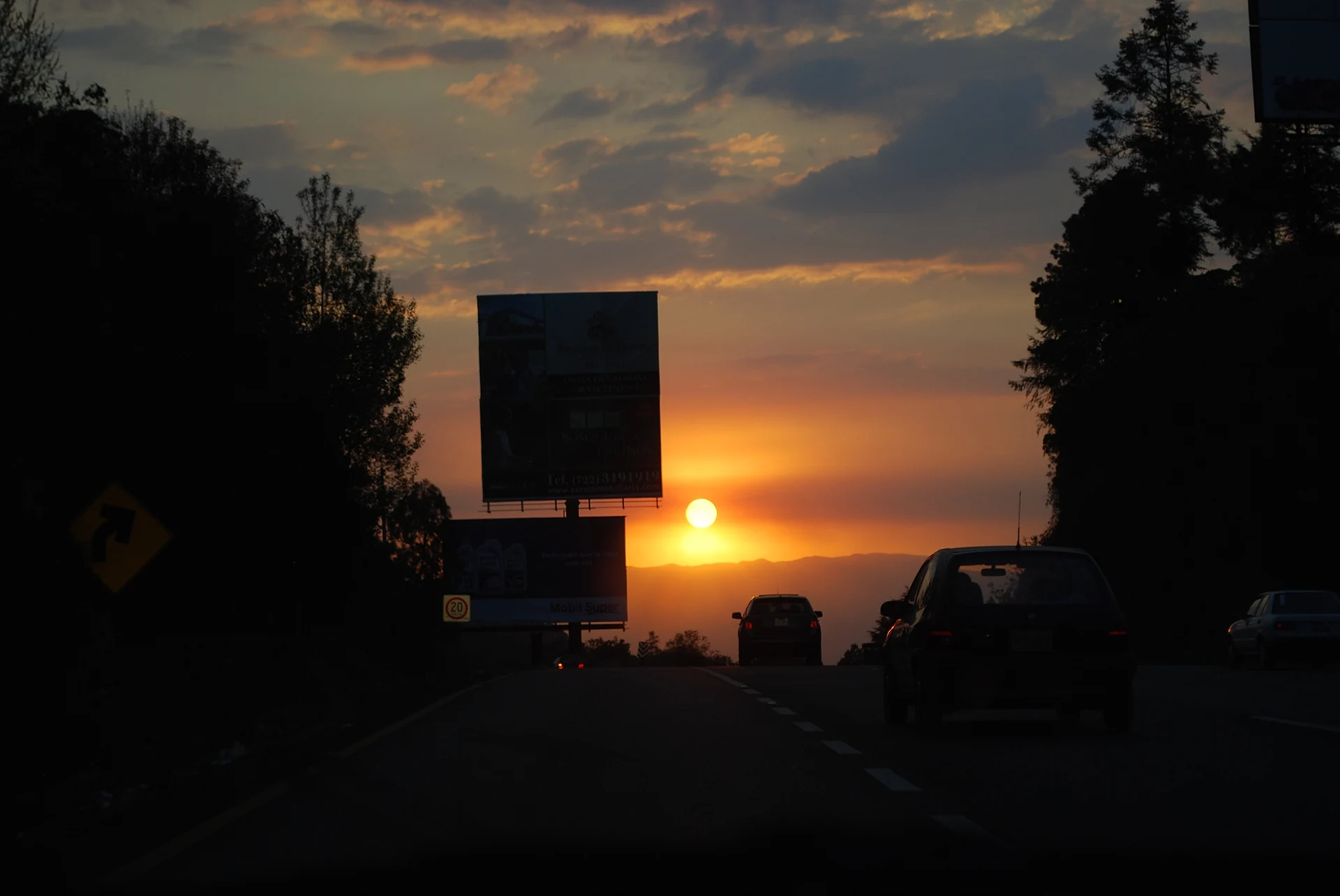
Salazar sits in the foothills of the Sierra de las Cruces at roughly 3,000 metres (3,001 m in the INEGI figures quoted on Wikipedia), and Federal Highway 15 runs only about 70 metres from the village, with a spur road branching off the México–Toluca motorway into it. It belongs to the municipality of Lerma and is small: INEGI counted 1,149 people in 2005 and 1,792 in the 2020 census. It did not grow around a plaza and a church but around a railway station, and it still feels like a stop on the way between the capital and Toluca.
The setting is wooded hills, on the slopes of the same range as La Marquesa. At weekends people from Mexico City and Toluca drive up to eat at the restaurants, hire a horse or play gotcha, and the surroundings are dotted with ranches and country houses. Wikipedia lists Salazar among the steep valleys of the Sierra de las Cruces.
A short way off is La Marquesa National Park, created in 1936, which marks the October 1810 Battle of Monte de las Cruces with a monument of Hidalgo, Allende and Jiménez on horseback, facing Mexico City. Horses can be rented at the park's visitor centre, and forest paths start there.
How to get to Salazar
Drive from Toluca: 35 min, 32 km
By car: Salazar lies on the México–Toluca motorway (Federal Highway 15), about 70 metres from the road, with a spur off the motorway leading into the village. The municipal seat, Lerma, is 54 km west of Mexico City and Salazar falls between the two; Toluca is about 28 km away in a straight line, so allow roughly 30 minutes without traffic and well over that on a weekend. By public transport: the El Insurgente interurban train runs from Observatorio to Zinacantepec (about 50 minutes from Observatorio to Toluca, trains every 5 to 7 minutes; Monday to Friday 5 am to midnight, Saturdays from 6 am and Sundays from 7 am). Lerma station, on Boulevard Solidaridad Las Torres, is the closest to La Marquesa National Park; from there take a taxi, bus or combi marked Ocoyoacac, about 15 to 30 minutes depending on traffic. We found no train stop at Salazar itself, so ask the driver whether the bus goes through the village. At Observatorio the train links with Metro Lines 1 and 12 and the Terminal Poniente bus station. The nearest pueblo on our list is Metepec, about 23 km in a straight line (roughly 25 minutes).
Directions to Salazar on Google Maps
Distances are in a straight line; the road is usually longer.
Links open a partner site. We may earn a commission if you book, at no cost to you.
From the nearest cities to Salazar
- Toluca · 32 km by road, 35 min
- Mexico City · 39 km by road, 40 min
- Cuernavaca · 80 km by road, 1 h 35 min
Drive times by road from OpenStreetMap, without traffic or stops. Times marked ~ are estimated from the straight-line distance.
Visiting Salazar: what to see and do
Eat at the restaurants by the highway, in forest scenery at about 3,000 m.
Hire a horse for a ride in the surrounding hills.
Play gotcha, another of the weekend pastimes here.
Continue to La Marquesa to see the monument to Hidalgo, Allende and Jiménez, which recalls the 1810 Battle of Monte de las Cruces.
Walk the national park's forest paths from its visitor centre.
Plan your trip
Places to stay in Salazar
Compare hotels, posadas, and rentals in and around Salazar.
Tours & activities
Day trips and guided outings from Metepec often include Salazar; with a local guide you can get there without a car.
Rental cars
Pick up a car at TLC (Toluca): about 17 min by road to Metepec, then 23 km more to Salazar, on your own schedule.
Flights
The nearest airport with scheduled flights is Toluca (TLC), about 17 min by road from Metepec, the base for Salazar.
Mobile data
Signal can drop away from Metepec: download a map of the way to Salazar before you set out, or carry an eSIM with data.
Links open a partner site. We may earn a commission if you book, at no cost to you.
When to go to Salazar cool
Salazar shares the climate of Metepec, 23 km away. The best months to visit are January, February, March, and December.
See the month-by-month climate of Metepec
Weather in Salazar now and the next 7 days
Live forecast from Open-Meteo. Chance of rain is the day's highest.
The closest Pueblo Mágico: Metepec

Metepec is the Pueblo Mágico closest to Salazar, with places to stay, food, and more to see.
Also close to
- Malinalco · Estado de México · 42 km away
- Tepoztlán · Morelos · 47 km away
- Villa del Carbón · Estado de México · 47 km away
- Tepotzotlán · Estado de México · 49 km away
- Xochitepec · Morelos · 58 km away
Closest to Salazar
-
La Marquesa · Nature reserve · 3 km away
-
San Jerónimo Acazulco · Town · 6 km away
-
Huixquilucan de Degollado · Town · 7 km away
-
San Miguel Ameyalco · Village · 7 km away
-
Cerro San Miguel · Mountain · 8 km away
-
Desierto de los Leones · Nature reserve · 8 km away
-
Ocoyoacac · Town · 8 km away
-
San Francisco Xochicuautla · Village · 9 km away


Near Salazar


Drive times by road from OpenStreetMap, without traffic. Times marked ~ are estimated from the straight-line distance.
Location from OpenStreetMap. Written by Puebloteca.