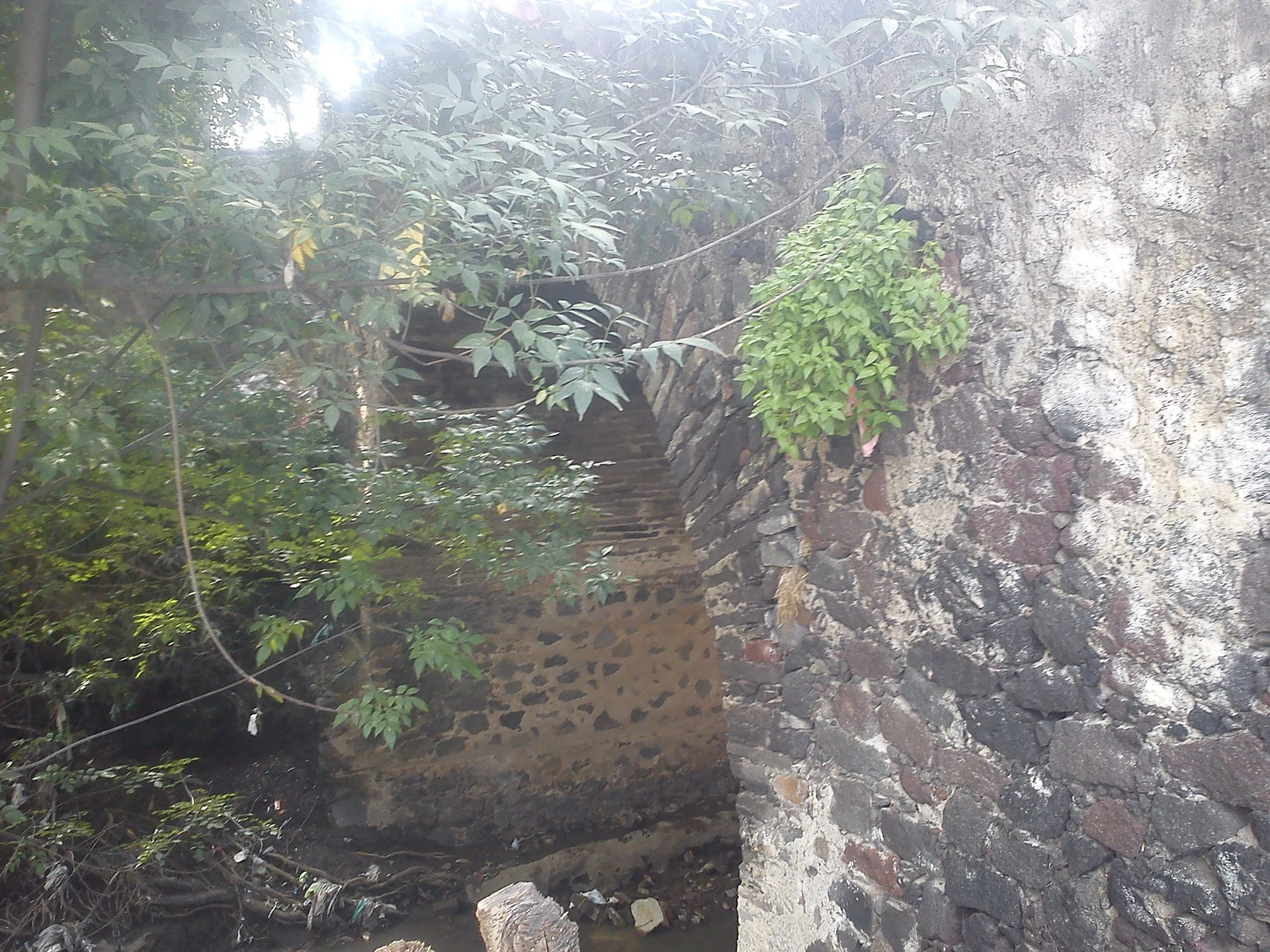
Village San Martín Texmelucan, Puebla Municipality of San Martín Texmelucan Volcano Route Monasteries on the slopes of Popocatépetl Puebla Valley
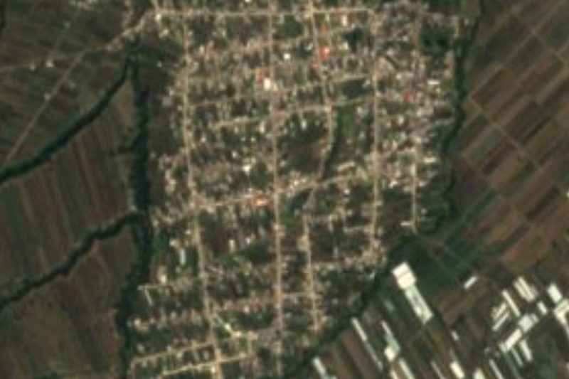
Texmelucan village on highway 190 below Cerro Totolqueme, which lends its name to the pre-Hispanic mounds of Tepatlaxco.
From San Martín Texmelucan: 5 min by car (3 km by road) How to get there ↓
Near here
See everything nearby ↓


Plan your visit to San Cristóbal Tepatlaxco
Where to stay near San Cristóbal Tepatlaxco
Compare hotels, posadas and guest houses in San Cristóbal Tepatlaxco.
Tours to San Cristóbal Tepatlaxco
Day trips and guided outings from Huejotzingo often include San Cristóbal Tepatlaxco; with a local guide you can get there without a car.
How to get to San Cristóbal Tepatlaxco
- From San Martín Texmelucan: about 5 min by road (~3 km)
- Nearest airport: Puebla (PBC), 7 min by car to Huejotzingo
Links open a partner site. We may earn a commission if you book, at no cost to you.
About San Cristóbal Tepatlaxco
Anyone driving federal highway 190 from Mexico City passes San Cristóbal Tepatlaxco just before entering San Martín Texmelucan, and few suspect that a short walk away, on the slopes of Cerro Totolqueme, stand nine pyramid bases. The village lends its name to that archaeological zone, reached by heading out along Avenida del Trabajo. In Nahuatl, Tepatlaxco has been read two ways: "in the ballcourt of the palace" or "plain of stony ground". In the immediate surroundings, the hamlet of Campo Melesio Solano had 11 residents in 2020, at 2,265 metres.
The landscape is the western rim of the Puebla-Tlaxcala Valley, where the foothills of the Sierra Nevada begin, the range that divides it from the Valley of Mexico. North and west of the municipality rise the Totolqueme, Tepeyacac, Mendocinas and Ayecac hills, while the Atoyac River, born of runoff from the volcanoes, crosses the plain less than a kilometre from the pyramids. Texmelucan covers about 71 km²; half its land is farmed and the other half is now built up; rainfall runs from 800 to 1,000 mm a year and average temperatures from 14 to 16 °C.
The mounds were a fortified site with Olmec influence, inhabited according to INAH from 300 BC to 600 AD, although INEGI's municipal compendium gives an older occupation, from 1200 BC, and links it with Cacaxtla and Tlalancaleca. Local cooking is led by mole poblano, barbacoa and the area's dried chiles; sweets include muéganos, candied apples and preserves, and people drink tepache in the hot season and ponche at Christmas. Texmelucan was known for its clay pots and casseroles and, earlier, for wood carving for furniture.
How to get to San Cristóbal Tepatlaxco
Drive from San Martín Texmelucan: 5 min, 3 km
The village is on federal highway 190 (Mexico-Puebla), just before San Martín Texmelucan; it is 39 km from Puebla city and 16 km from Huejotzingo. To reach the pyramids take Avenida del Trabajo east and the dirt road along the western edge up to the INAH signs.
Directions to San Cristóbal Tepatlaxco on Google Maps
Distances are in a straight line; the road is usually longer.
Links open a partner site. We may earn a commission if you book, at no cost to you.
From the nearest cities to San Cristóbal Tepatlaxco
- San Martín Texmelucan · 3 km by road, 5 min
- Chiautempan · 35 km by road, 30 min
- Puebla · 43 km by road, 40 min
Drive times by road from OpenStreetMap, without traffic or stops. Times marked ~ are estimated from the straight-line distance.
Visiting San Cristóbal Tepatlaxco: what to see and do
The Los Cerritos archaeological zone, with Mound A and the East Slope, open Thursday to Sunday according to INAH. From the Totolqueme hillsides you see the valley and the Atoyac floodplain. A few minutes away in Texmelucan there is clay pottery and sweets such as muéganos.
Plan your trip
Places to stay in San Cristóbal Tepatlaxco
Compare hotels, posadas, and rentals in and around San Cristóbal Tepatlaxco.
Tours & activities
Day trips and guided outings from Huejotzingo often include San Cristóbal Tepatlaxco; with a local guide you can get there without a car.
Rental cars
Pick up a car at PBC (Puebla): about 7 min by road to Huejotzingo, then 16 km more to San Cristóbal Tepatlaxco, on your own schedule.
Flights
The nearest airport with scheduled flights is Puebla (PBC), about 7 min by road from Huejotzingo, the base for San Cristóbal Tepatlaxco.
Mobile data
Signal can drop away from Huejotzingo: download a map of the way to San Cristóbal Tepatlaxco before you set out, or carry an eSIM with data.
Links open a partner site. We may earn a commission if you book, at no cost to you.
When to go to San Cristóbal Tepatlaxco mild
San Cristóbal Tepatlaxco shares the climate of Huejotzingo, 16 km away. The best months to visit are January, February, March, and November.
See the month-by-month climate of Huejotzingo
Weather in San Cristóbal Tepatlaxco now and the next 7 days
Live forecast from Open-Meteo. Chance of rain is the day's highest.
The closest Pueblo Mágico: Huejotzingo

Huejotzingo is the Pueblo Mágico closest to San Cristóbal Tepatlaxco, with places to stay, food, and more to see.
Also close to
Closest to San Cristóbal Tepatlaxco
-
Exconvento de Santa María Magdalena · Landmark · 2 km away
-
Los Cerritos de Tepatlaxco · Archaeological site · 2 km away
-
San Rafael Tlanalapan · Town · 2 km away
-
Hacienda de Chautla · Landmark · 3 km away
-
San Lucas el Grande · Village · 3 km away
-
San Martín Texmelucan · City · 4 km away
-
San Juan Tuxco · Village · 5 km away
-
Villa Alta · Town · 5 km away


Near San Cristóbal Tepatlaxco




Drive times by road from OpenStreetMap, without traffic. Times marked ~ are estimated from the straight-line distance.
Location from OpenStreetMap. Written by Puebloteca.