

City San Martín Texmelucan, Puebla Municipality of San Martín Texmelucan Volcano Route Monasteries on the slopes of Popocatépetl Puebla Valley
Market city in western Puebla, 32 km from the capital, known for its huge Tuesday clothing tianguis and the poblano chiles of Tlanalapan.
From Chiautempan: 30 min by car (34 km by road) How to get there ↓
Near here


Plan your visit to San Martín Texmelucan
Where to stay near San Martín Texmelucan
Compare hotels, posadas and guest houses in San Martín Texmelucan.
Tours to San Martín Texmelucan
Day trips and guided outings from Huejotzingo often include San Martín Texmelucan; with a local guide you can get there without a car.
 Tours from Puebla City
Africam Safari Zoo Admission with Transportation
★ 4.8 (87) · From US$35
How to get to San Martín Texmelucan
- From Chiautempan: about 30 min by road (~34 km)
- Nearest airport: Puebla (PBC), 7 min by car to Huejotzingo
Links open a partner site. We may earn a commission if you book, at no cost to you.
Tours from Puebla City, near San Martín Texmelucan


Tours, prices and ratings from Viator, checked weekly. We may earn a commission if you book.
About San Martín Texmelucan
Texmelucan comes from the Nahuatl Tetzmollocan, "where the oak grove is". The city, officially San Martín Texmelucan de Labastida, lies on the western side of the Puebla-Tlaxcala valley, below the Sierra Nevada and beside the Atoyac river, 32 km from Puebla, 23 km from Tlaxcala and 95 km from Mexico City. The municipality covers just 71 km² and had 152,052 people in 2015.
Descendants of the Huejotzingo, Tlaxcala and Cholula peoples lived in the valley when Spanish farmers arrived to grow wheat. On the orders of the viceroy, the Count of Monterrey, Diego Montemayor y Montejo founded the town of San Martín Obispo, and Franciscan friars settled to evangelise. Since it sat on the royal road between Mexico City and Puebla, the colonial government set up a toll post here to collect sales tax on goods. On 31 August 1861 Puebla's congress made it a city for the stand led by Lieutenant Albino Labastida against the conservatives, and in 1863 Ignacio Comonfort organised the campaign to retake Puebla from the French from here.
The railway, the federal highway in 1926 and the Mexico City–Puebla toll road in 1962, with its toll booth here, turned it into a transport hub. Then came the industrial corridor, Pemex's Independencia petrochemical complex and, in 1981, the Quetzalcóatl corridor. On 19 December 2010 an illegal tap on a Pemex pipeline caused an explosion that killed 30 people.
What draws the crowds is the Tuesday clothing tianguis. It once filled the downtown streets with more than 13,000 stalls, and on 13 May 1994 it moved to San Lucas Atoyatenco, where it now covers over 35 hectares and has its own bus station. Out in the fields, the village of San Rafael Tlanalapan is known for poblano chiles prized for chiles en nogada.
In town you can visit the 17th-century former convent of Santa María Magdalena, founded by Discalced Franciscans; the neo-Gothic Carmen church, built between 1902 and 1905 by the owners of the San Martín textile mill, where the Passion is staged at Holy Week; the Complejo Cultural Texmeluquense in the old town hall; and Laguna Ojo de Agua, a 3-hectare spring-fed pond with rowing boats. On 11 November the city honours St Martin, patron of merchants, with a fair, dances, a rodeo and fireworks; the local sweets are trompadas and muéganos.
How to get to San Martín Texmelucan
Drive from Chiautempan: 30 min, 34 km
From Puebla city it is about 40 km and 40 min on the 150D Mexico City–Puebla toll road, which has a toll booth at San Martín; the free federal road runs almost alongside. From Huejotzingo it is about 13 km and 15 min on the free federal road. Highway 117 leads to Tlaxcala, and Puebla's international airport is in neighbouring Huejotzingo. Direct buses run roughly every 15 minutes to Mexico City, connecting with TAPO, to Puebla's CAPU and to Tlaxcala, from several stations along Avenida Libertad. On Tuesdays long-distance buses also leave from the San Lucas Atoyatenco bus station beside the tianguis.
Directions to San Martín Texmelucan on Google Maps
Distances are in a straight line; the road is usually longer.
Links open a partner site. We may earn a commission if you book, at no cost to you.
From the nearest cities to San Martín Texmelucan
- Chiautempan · 34 km by road, 30 min
- Puebla · 40 km by road, 40 min
- Atlixco · 45 km by road, 50 min
Drive times by road from OpenStreetMap, without traffic or stops. Times marked ~ are estimated from the straight-line distance.
What to see in San Martín Texmelucan 3
Sights with their own page, closest to the centre first.
Landmarks and museums
-
Exconvento de Santa María Magdalena · Landmark · 2 km from the centre
Baroque Dieguino convent in central San Martín Texmelucan, a national monument since 1933, with Churrigueresque altarpieces and a 1794 German organ. -
Hacienda de Chautla · Landmark · 7 km from the centre
An old hacienda with an English-style castle on the edge of a lake, now a state-run park for walks, boating and picnics.

Archaeological sites
-
Los Cerritos de Tepatlaxco · Archaeological site · 5 km from the centre
Nine pyramid bases on the rims of ravines on the slopes of Cerro Totolqueme, inhabited from 300 BC to 600 AD, just outside Texmelucan.

Map of San Martín Texmelucan
Neighbourhoods and villages of San Martín Texmelucan
Part of San Martín Texmelucan or just outside it, closest first.
-
San Juan Tuxco · Village · 2 km from the centre
Village of San Martín Texmelucan at the foot of the Sierra Nevada, "among the rabbits", with a parish church of San Juan and a chapel of the Sacrament. -
San Buenaventura Tecaltzingo · Village · 4 km from the centre
An auxiliary borough of San Martín Texmelucan, at 2,320 m in the irrigated Atoyac valley; its Nahuatl name means 'in the little stone house'. -
San Cristóbal Tepatlaxco · Village · 4 km from the centre
Texmelucan village on highway 190 below Cerro Totolqueme, which lends its name to the pre-Hispanic mounds of Tepatlaxco. -
Santa María Moyotzingo · Village · 4 km from the centre
Large town south of Texmelucan with a Preclassic pyramid base, the tepematzin, that looks like a little hill in the middle of town. -
San Rafael Tlanalapan · Town · 5 km from the centre
Town in San Martín Texmelucan, "land across the river", home in mid-August to the National Chile Poblano Fair.

Day trips and tours from San Martín Texmelucan
The closest Pueblos Mágicos and places to visit, with the drive from San Martín Texmelucan and tours that leave from it.
Popular day trips from San Martín Texmelucan


Tours, prices and ratings from Viator, checked weekly. We may earn a commission if you book.


All 51 Pueblos Mágicos within a weekend of San Martín Texmelucan →
Times marked ~ are estimated from the distance. Links open a partner site. We may earn a commission if you book, at no cost to you.
Before you go: getting to and around San Martín Texmelucan
- The nearest airport is Puebla (PBC).
- The best months to go are January, February, March, and November.
- 6 of the places on this page are more than 3 km from the centre: take a taxi, a ride-hailing app or a local bus.
- For day trips a rental car gives the most freedom; the tours above leave from San Martín Texmelucan.
Before you go to San Martín Texmelucan: hours, prices and tips
- Best time of day
- The clothing tianguis is held on Tuesdays at San Lucas Atoyatenco. Wikipedia · checked Oct 2026
Hours and prices change, especially around holidays. Each fact links to where we checked it.
Visiting San Martín Texmelucan: what to see and do
The Tuesday clothing tianguis at San Lucas Atoyatenco.
The parish church of San Martín Obispo and the main square with its bandstand.
The former convent of Santa María Magdalena on Calle Libertad.
The neo-Gothic Carmen church.
Laguna Ojo de Agua and its rowing boats.
The San Cristóbal Polaxtla hacienda museum in El Moral, where the film Arráncame la vida was shot.
Los Cerritos de San Cristóbal Tepatlaxco archaeological site, 4.3 km away, occupied from 300 BC to AD 600.
Plan your trip
Places to stay in San Martín Texmelucan
Compare hotels, posadas, and rentals in and around San Martín Texmelucan.
Tours & activities
Day trips and guided outings from Huejotzingo often include San Martín Texmelucan; with a local guide you can get there without a car.
Rental cars
Pick up a car at PBC (Puebla): about 7 min by road to Huejotzingo, then 12 km more to San Martín Texmelucan, on your own schedule.
Flights
The nearest airport with scheduled flights is Puebla (PBC), about 7 min by road from Huejotzingo, the base for San Martín Texmelucan.
Mobile data
Signal can drop away from Huejotzingo: download a map of the way to San Martín Texmelucan before you set out, or carry an eSIM with data.
Links open a partner site. We may earn a commission if you book, at no cost to you.
When to go to San Martín Texmelucan mild
San Martín Texmelucan shares the climate of Huejotzingo, 12 km away. The best months to visit are January, February, March, and November.
See the month-by-month climate of Huejotzingo
Weather in San Martín Texmelucan now and the next 7 days
Live forecast from Open-Meteo. Chance of rain is the day's highest.
The closest Pueblo Mágico: Huejotzingo

Huejotzingo is the Pueblo Mágico closest to San Martín Texmelucan, with places to stay, food, and more to see.
Also close to
Near San Martín Texmelucan


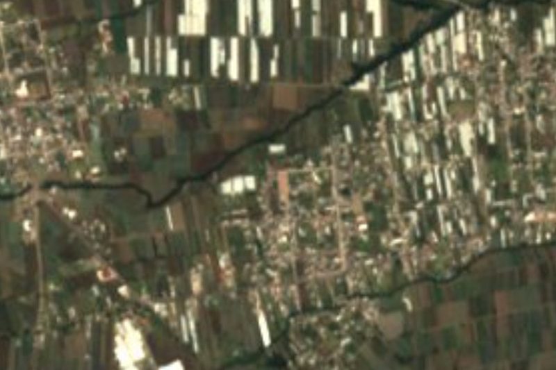


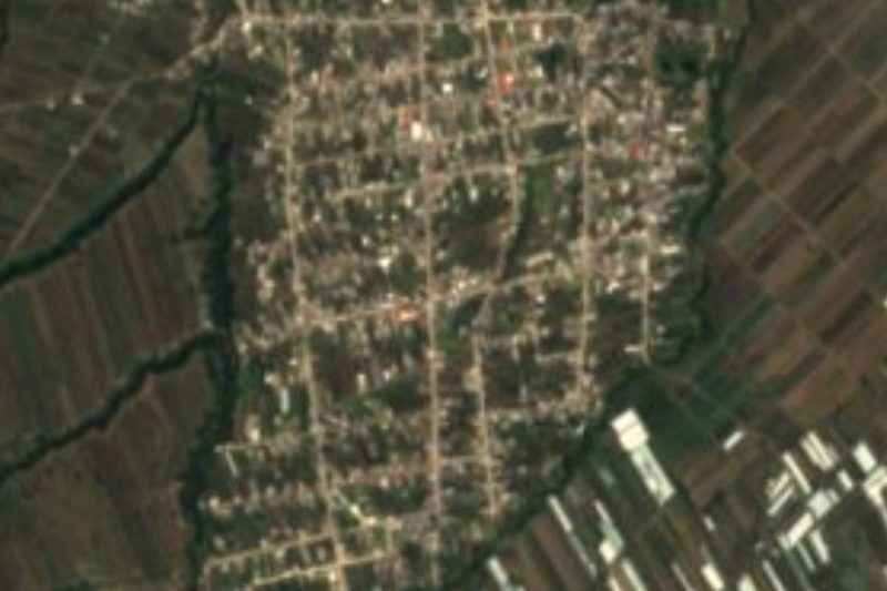

Drive times by road from OpenStreetMap, without traffic. Times marked ~ are estimated from the straight-line distance.
Location from OpenStreetMap. Written by Puebloteca.