Village San Salvador el Verde, Puebla Municipality of San Salvador el Verde Volcano Route Monasteries on the slopes of Popocatépetl Puebla Valley
The largest town in San Salvador el Verde, at 2,317 m below Iztaccíhuatl, among tejocote orchards, flower fields and black-stone workshops.
From San Martín Texmelucan: 5 min by car (6 km by road) How to get there ↓
Near here
See everything nearby ↓


Plan your visit to San Lucas el Grande
Where to stay near San Lucas el Grande
Compare hotels, posadas and guest houses in San Lucas el Grande.
Tours to San Lucas el Grande
Day trips and guided outings from Huejotzingo often include San Lucas el Grande; with a local guide you can get there without a car.
How to get to San Lucas el Grande
- From San Martín Texmelucan: about 5 min by road (~6 km)
- Nearest airport: Puebla (PBC), 7 min by car to Huejotzingo
Links open a partner site. We may earn a commission if you book, at no cost to you.
About San Lucas el Grande
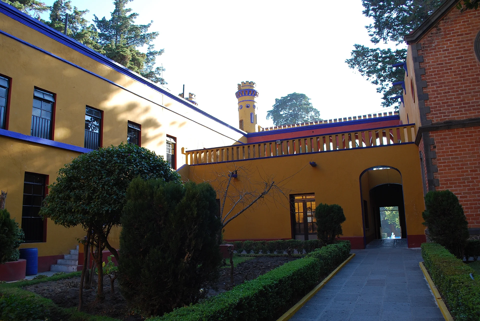
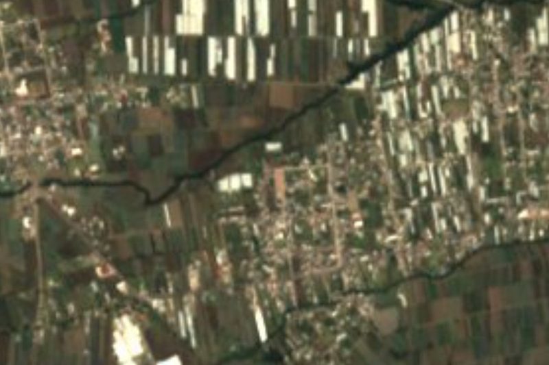
Not even the municipal seat beats it: San Lucas el Grande is the most populous community in San Salvador el Verde, with 9,138 residents in 2020. It is named for Luke the Evangelist, its patron, and spreads out at 2,317 meters on the western edge of the Puebla-Tlaxcala valley, about 18 km from Huejotzingo and 41 km from the state capital. To the west the land climbs steadily up the Sierra Nevada to the summit of Iztaccíhuatl, at about 5,200 meters the third-highest mountain in Mexico, which lies inside the same municipality. The photo shows the courtyard of the Chautla hacienda, also in San Salvador el Verde.
The municipality, whose Nahuatl name Xopalican means "green place", covers about 108.7 km² and belongs to the Puebla-Tlaxcala metropolitan area. It borders Tlalancaleca, Tlahuapan, Texmelucan, Chiautzingo and Huejotzingo, plus Ixtacuixtla in Tlaxcala and Tlalmanalco in the State of Mexico. Because of the altitude range three climates meet here, from temperate to cold: averages run from 2 to 16 °C, the high ground drops below freezing in winter and summer rarely tops 30 °C, with about 1,000 mm of rain between May and October. More than 40% of the land is forest, used for timber, and its streams feed the Atoyac.
Most people make their living from farming, and the soil is good: cabbage, onion, cilantro, cauliflower, green beans, radish, carrot, corn, beans, fava beans and wheat are grown, along with mulato chiles, tejocote, pears, apples and walnuts, and flowers such as gladiolus, chrysanthemums and roses. INEGI highlights the carving of black cantera and volcanic stone into molcajetes, metlapiles, millstones, gravestones and fountains. In the kitchen the stars are carnitas with salsas and handmade tortillas, cookies of cacahuacintle corn, capulín jam, chilacayote squash sweets, xemezcal made from maguey heart, and pinole atole, with pulque and cane brandy.
How to get to San Lucas el Grande
Drive from San Martín Texmelucan: 5 min, 6 km
San Lucas is 41 km in a straight line from Puebla city and 18 km from Huejotzingo. Take the México–Puebla highway to the San Martín Texmelucan exit, then roads heading west toward San Salvador el Verde; Mexico City is about 85 km from the municipality.
Directions to San Lucas el Grande on Google Maps
Distances are in a straight line; the road is usually longer.
Links open a partner site. We may earn a commission if you book, at no cost to you.
From the nearest cities to San Lucas el Grande
- San Martín Texmelucan · 6 km by road, 5 min
- Chiautempan · 38 km by road, 30 min
- Puebla · 46 km by road, 45 min
Drive times by road from OpenStreetMap, without traffic or stops. Times marked ~ are estimated from the straight-line distance.
Visiting San Lucas el Grande: what to see and do
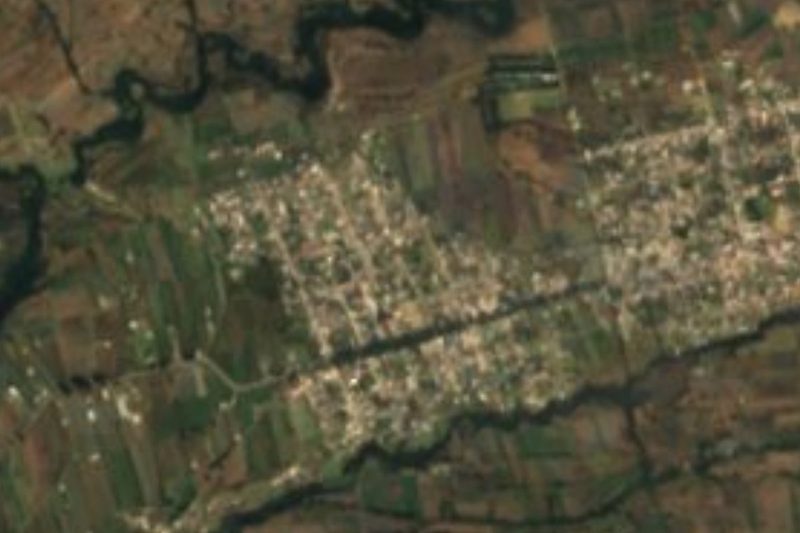
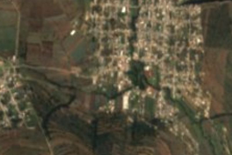
The streets and church of San Lucas, the municipality's biggest town.
The old Chautla hacienda in San Salvador el Verde.
Views of Iztaccíhuatl and the orchards of tejocote, pears and flowers.
Plan your trip
Places to stay in San Lucas el Grande
Compare hotels, posadas, and rentals in and around San Lucas el Grande.
Tours & activities
Day trips and guided outings from Huejotzingo often include San Lucas el Grande; with a local guide you can get there without a car.
Rental cars
Pick up a car at PBC (Puebla): about 7 min by road to Huejotzingo, then 18 km more to San Lucas el Grande, on your own schedule.
Flights
The nearest airport with scheduled flights is Puebla (PBC), about 7 min by road from Huejotzingo, the base for San Lucas el Grande.
Mobile data
Signal can drop away from Huejotzingo: download a map of the way to San Lucas el Grande before you set out, or carry an eSIM with data.
Links open a partner site. We may earn a commission if you book, at no cost to you.
When to go to San Lucas el Grande mild
San Lucas el Grande shares the climate of Huejotzingo, 18 km away. The best months to visit are January, February, March, and November.
See the month-by-month climate of Huejotzingo
Weather in San Lucas el Grande now and the next 7 days
Live forecast from Open-Meteo. Chance of rain is the day's highest.
The closest Pueblo Mágico: Huejotzingo

Huejotzingo is the Pueblo Mágico closest to San Lucas el Grande, with places to stay, food, and more to see.
Also close to
Closest to San Lucas el Grande
-
Hacienda de Chautla · Landmark · 1 km away
-
San Rafael Tlanalapan · Town · 2 km away
-
San Cristóbal Tepatlaxco · Village · 3 km away
-
San Matías Tlalancaleca · Town · 3 km away
-
Los Cerritos de Tepatlaxco · Archaeological site · 4 km away
-
Analco de Ponciano Arriaga · Village · 5 km away
-
Exconvento de Santa María Magdalena · Landmark · 5 km away
-
San Juan Tuxco · Village · 6 km away


Near San Lucas el Grande


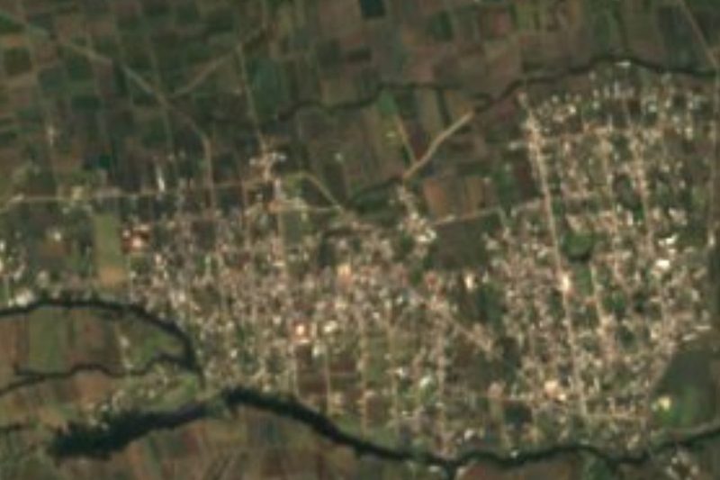



Drive times by road from OpenStreetMap, without traffic. Times marked ~ are estimated from the straight-line distance.
Location from OpenStreetMap. Written by Puebloteca.