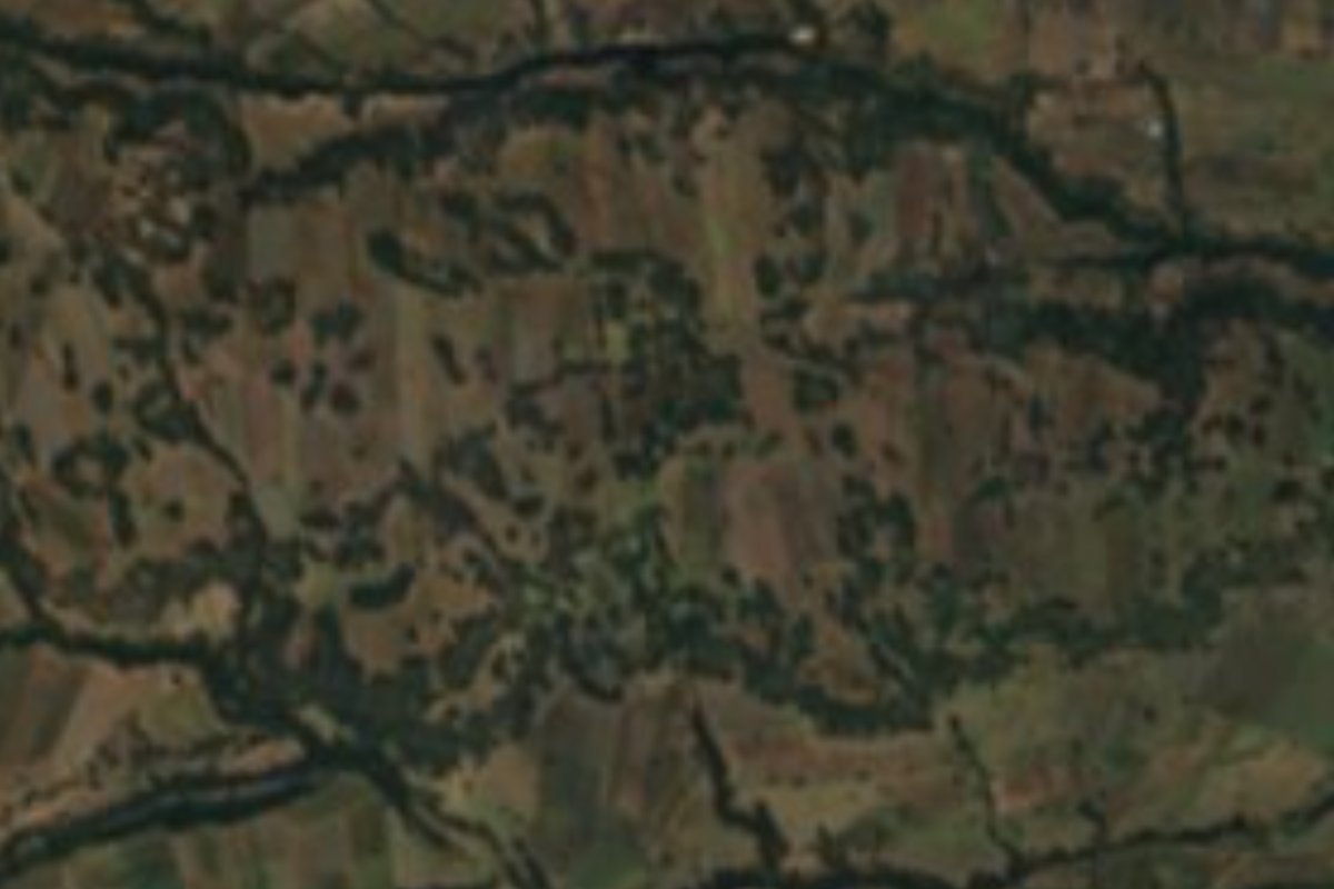
Archaeological site Tlahuapan, Puebla Municipality of Tlahuapan Volcano Route
Formative-period city at the foot of the Sierra Nevada, among central Mexico's largest before Teotihuacan; it outlived a Popocatépetl eruption.
From San Martín Texmelucan: 20 min by car (16 km by road) How to get there ↓
Near here
See everything nearby ↓



Plan your visit to Tlalancaleca (zona arqueológica)
Where to stay near Tlalancaleca (zona arqueológica)
Compare hotels, posadas and guest houses in Tlalancaleca (zona arqueológica).
Tours to Tlalancaleca (zona arqueológica)
A guide brings Tlalancaleca (zona arqueológica) to life: look for tours from Huejotzingo that include the site and the ride there.
How to get to Tlalancaleca (zona arqueológica)
- From San Martín Texmelucan: about 20 min by road (~16 km)
- Nearest airport: Puebla (PBC), 7 min by car to Huejotzingo
Links open a partner site. We may earn a commission if you book, at no cost to you.
About Tlalancaleca (zona arqueológica)
Long before Teotihuacan dominated central Mexico, one of the region's largest settlements stood here, in the hills of western Puebla between San Matías Tlalancaleca and Tlahuapan. That is the view of archaeologist Tatsuya Murakami of Tulane University, who sees Tlalancaleca as a likely seedbed of the highland's urban traditions. The paper he published in Antiquity in 2017, with Shigeru Kabata, Julieta López and José Juan Chávez, presents it as the first detailed study of a large Formative-period urban centre. Beside the area lies the hamlet of Tepalca, with 8 residents in 2020, at about 2,500 metres.
Around 50 AD Popocatépetl had a Plinian eruption that struck this whole strip of the valley. According to Murakami, Tlalancaleca survived the disaster and kept growing until it was abandoned around 250 AD. Kabata, a professor at the Universidad de las Américas Puebla, adds a related idea: some of its people fled toward the Teotihuacan valley carrying their technology and customs, which may have helped that city become a state. In his view the site works as a Teotihuacan prototype for its planned layout and the way it expresses the worldview of its time; stucco, talud-tablero and the cult of Tláloc already existed in the Puebla-Tlaxcala region.
Kabata's project began in 2012 with support from the Japanese government and since 2014 has involved UDLAP archaeology students. Using total stations and 3D models, the team has located low rises that betray pyramids and housing compounds, plus a possible artificial cave opened for ceremonies; test pits yielded obsidian, animal bone, pottery and architectural pieces from a pyramid. Murakami has described a Terminal Formative ritual complex (100 BC-250 AD) of crosses carved into rock, channels and small pits, tied to water and fertility, which early Teotihuacan may have shared.
How to get to Tlalancaleca (zona arqueológica)
Drive from San Martín Texmelucan: 20 min, 16 km
The area is about 46 km from Puebla city and 22 km from Huejotzingo. Take the Mexico-Puebla highway to San Martín Texmelucan and cross to the other side of the highway toward San Matías Tlalancaleca, the community the site belongs to. We found no INAH visitor listing for the site, so ask in the village about access to the hills.
Directions to Tlalancaleca (zona arqueológica) on Google Maps
Distances are in a straight line; the road is usually longer.
Links open a partner site. We may earn a commission if you book, at no cost to you.
From the nearest cities to Tlalancaleca (zona arqueológica)
- San Martín Texmelucan · 16 km by road, 20 min
- Chiautempan · 48 km by road, 45 min
- Puebla · 55 km by road, 50 min
Drive times by road from OpenStreetMap, without traffic or stops. Times marked ~ are estimated from the straight-line distance.
Visiting Tlalancaleca (zona arqueológica): what to see and do
What you can see are gentle rises that hide unexcavated pyramids and housing units, and on the rock, the carved crosses, channels and small pits of the ritual complex. From these heights Popocatépetl and Iztaccíhuatl are in view, the volcanoes whose eruption shaped the site's story.
Plan your trip
Places to stay in Tlalancaleca (zona arqueológica)
Compare hotels, posadas, and rentals in and around Tlalancaleca (zona arqueológica).
Tours & activities
A guide brings Tlalancaleca (zona arqueológica) to life: look for tours from Huejotzingo that include the site and the ride there.
Rental cars
Pick up a car at PBC (Puebla): about 7 min by road to Huejotzingo, then 22 km more to Tlalancaleca (zona arqueológica), on your own schedule.
Flights
The nearest airport with scheduled flights is Puebla (PBC), about 7 min by road from Huejotzingo, the base for Tlalancaleca (zona arqueológica).
Mobile data
Signal can drop away from Huejotzingo: download a map of the way to Tlalancaleca (zona arqueológica) before you set out, or carry an eSIM with data.
Links open a partner site. We may earn a commission if you book, at no cost to you.
When to go to Tlalancaleca (zona arqueológica) mild
Tlalancaleca (zona arqueológica) shares the climate of Huejotzingo, 22 km away. The best months to visit are January, February, March, and November.
See the month-by-month climate of Huejotzingo
Weather in Tlalancaleca (zona arqueológica) now and the next 7 days
Live forecast from Open-Meteo. Chance of rain is the day's highest.
The closest Pueblo Mágico: Huejotzingo

Huejotzingo is the Pueblo Mágico closest to Tlalancaleca (zona arqueológica), with places to stay, food, and more to see.
Also close to
- Cholula · Puebla · 37 km away
- Atlixco · Puebla · 46 km away
- Otumba · Estado de México · 48 km away
- Teotihuacán · Estado de México · 53 km away
- Tlaxco · Tlaxcala · 55 km away
Closest to Tlalancaleca (zona arqueológica)
-
Santa María Texmelucan · Village · 2 km away
-
San Cristóbal Nexquipayac · Village · 4 km away
-
San Matías Tlalancaleca · Town · 4 km away
-
Guadalupe Zaragoza · Village · 5 km away
-
Santa Rita Tlahuapan · Town · 5 km away
-
Analco de Ponciano Arriaga · Village · 6 km away
-
San Lucas el Grande · Village · 6 km away
-
San Salvador el Verde · Village · 6 km away


Near Tlalancaleca (zona arqueológica)


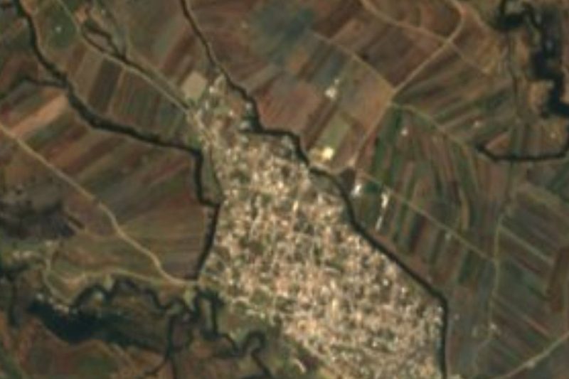


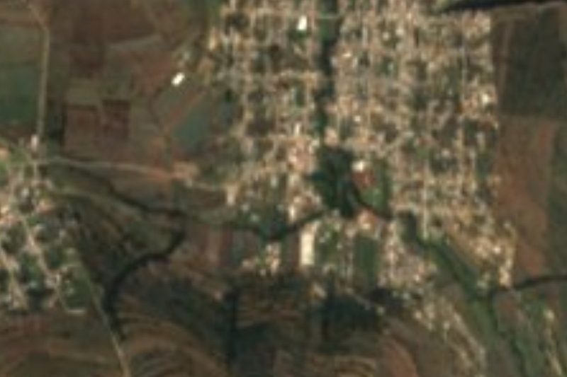


Drive times by road from OpenStreetMap, without traffic. Times marked ~ are estimated from the straight-line distance.
Lists with Tlalancaleca (zona arqueológica)
Ruins in Puebla · 8 Ruins near San Martín Texmelucan · 13 Ruins near Huejotzingo · 12 Ruins near Chiautempan · 9 Ruins near Atlixco · 11 Ruins near Puebla · 8 Ruins near Otumba · 15 Ruins near Teotihuacán · 17Location from OpenStreetMap. Written by Puebloteca.