

Town Tlahuapan, Puebla Municipality of Tlahuapan Volcano Route
Seat of Tlahuapan, "land of oaks", by the Puente del Emperador on the old royal road to Mexico City; Puebla's first vineyards began here.
From San Martín Texmelucan: 20 min by car (19 km by road) How to get there ↓
Near here
See everything nearby ↓

Plan your visit to Santa Rita Tlahuapan
Where to stay near Santa Rita Tlahuapan
Compare hotels, posadas and guest houses in Santa Rita Tlahuapan.
Tours to Santa Rita Tlahuapan
Day trips around Huejotzingo sometimes stop in Santa Rita Tlahuapan; a tour is the easy way to see it without a car.
 Tours from Atlixco
Atlixco Volcano Views Popocatépetl Tour Forest Route
From US$108
How to get to Santa Rita Tlahuapan
- From San Martín Texmelucan: about 20 min by road (~19 km)
- Nearest airport: Puebla (PBC), 7 min by car to Huejotzingo
Links open a partner site. We may earn a commission if you book, at no cost to you.
Tours from Atlixco, near Santa Rita Tlahuapan
Tours, prices and ratings from Viator, checked weekly. We may earn a commission if you book.
About Santa Rita Tlahuapan
Santa Rita Tlahuapan is the seat of the municipality of Tlahuapan in western Puebla, at about 2,500 m, with 9,755 inhabitants. The name comes from Tlalliahuatlpan, "in the land of oaks", and the glyph of its founding is an oak tree. It lives from farming and livestock, with one curiosity: grapes are grown here for Puebla's red wine, and the state's first vineyards started in Tlahuapan. The climate is mild.
The royal road from Puebla to Mexico City passed through here, and from 1531 the records mention ventas, inns for travellers and pack animals, such as the one at Tejaque or Texmelucan, about eight leagues from Puebla. It stood on the edge of the Tejac ravine, today the Barranca del Emperador, through which runs one of the streams that form the Atoyac River, near today's La Venta ranch beside federal highway 190. The depth of the ravine meant bridges were needed from colonial times; the one that survives was built in 1837 and is called the Puente del Emperador because Maximilian crossed it on his way to Mexico City. Families who have lived at the Venta del Puente for generations still tell of the stir the emperors caused.
The area had its heyday in the mid-20th century, with a popular bathing resort near the bridge. During the Revolution Tlahuapan had a barracks, attacked in February 1915.
How to get to Santa Rita Tlahuapan
Drive from San Martín Texmelucan: 20 min, 19 km
Santa Rita Tlahuapan lies in western Puebla beside federal highway 190, the old road from Puebla to Mexico City. Puebla city is about 51 km away in a straight line, roughly 1 hour by car, and Huejotzingo, the nearest Pueblo Mágico, about 26 km. The Puente del Emperador is near Santa Rita, beside highway 190.
Directions to Santa Rita Tlahuapan on Google Maps
Distances are in a straight line; the road is usually longer.
Links open a partner site. We may earn a commission if you book, at no cost to you.
From the nearest cities to Santa Rita Tlahuapan
- San Martín Texmelucan · 19 km by road, 20 min
- Chiautempan · 50 km by road, 45 min
- Puebla · 58 km by road, 50 min
Drive times by road from OpenStreetMap, without traffic or stops. Times marked ~ are estimated from the straight-line distance.
Visiting Santa Rita Tlahuapan: what to see and do
The Puente del Emperador (1837) over the Barranca del Emperador.
The Venta del Puente, on the old royal road.
The vineyards growing grapes for red wine.
The oak woods that give the town its name.
Plan your trip
Places to stay in Santa Rita Tlahuapan
Compare hotels, posadas, and rentals in and around Santa Rita Tlahuapan.
Tours & activities
Day trips around Huejotzingo sometimes stop in Santa Rita Tlahuapan; a tour is the easy way to see it without a car.
Rental cars
Pick up a car at PBC (Puebla): about 7 min by road to Huejotzingo, then 26 km more to Santa Rita Tlahuapan, on your own schedule.
Flights
The nearest airport with scheduled flights is Puebla (PBC), about 7 min by road from Huejotzingo, the base for Santa Rita Tlahuapan.
Mobile data
Signal can drop away from Huejotzingo: download a map of the way to Santa Rita Tlahuapan before you set out, or carry an eSIM with data.
Links open a partner site. We may earn a commission if you book, at no cost to you.
When to go to Santa Rita Tlahuapan mild
Santa Rita Tlahuapan shares the climate of Huejotzingo, 26 km away. The best months to visit are January, February, March, and November.
See the month-by-month climate of Huejotzingo
Weather in Santa Rita Tlahuapan now and the next 7 days
Live forecast from Open-Meteo. Chance of rain is the day's highest.
The closest Pueblo Mágico: Huejotzingo

Huejotzingo is the Pueblo Mágico closest to Santa Rita Tlahuapan, with places to stay, food, and more to see.
Also close to
- Cholula · Puebla · 42 km away
- Otumba · Estado de México · 45 km away
- Atlixco · Puebla · 49 km away
- Teotihuacán · Estado de México · 49 km away
- Tlaxco · Tlaxcala · 58 km away
Closest to Santa Rita Tlahuapan
-
San Cristóbal Nexquipayac · Village · 3 km away
-
Tlalancaleca (zona arqueológica) · Archaeological site · 5 km away
-
Guadalupe Zaragoza · Village · 6 km away
-
Santa María Texmelucan · Village · 6 km away
-
Santiago Coltzingo · Village · 8 km away
-
San Matías Tlalancaleca · Town · 9 km away
-
San Salvador el Verde · Village · 10 km away
-
Analco de Ponciano Arriaga · Village · 11 km away

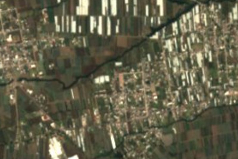
Near Santa Rita Tlahuapan


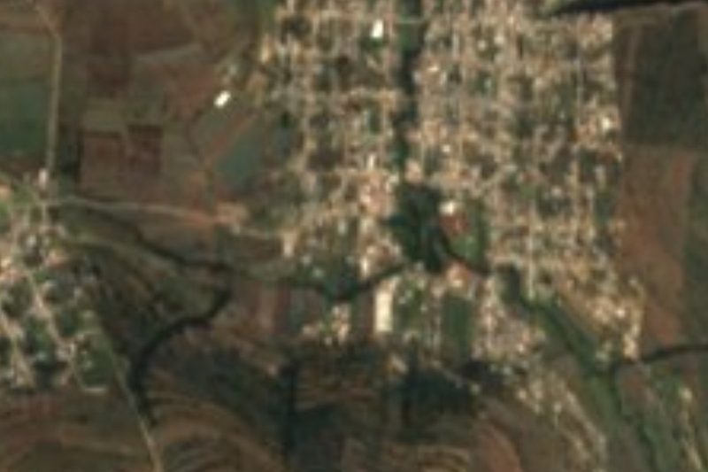

Drive times by road from OpenStreetMap, without traffic. Times marked ~ are estimated from the straight-line distance.
Location from OpenStreetMap. Written by Puebloteca.