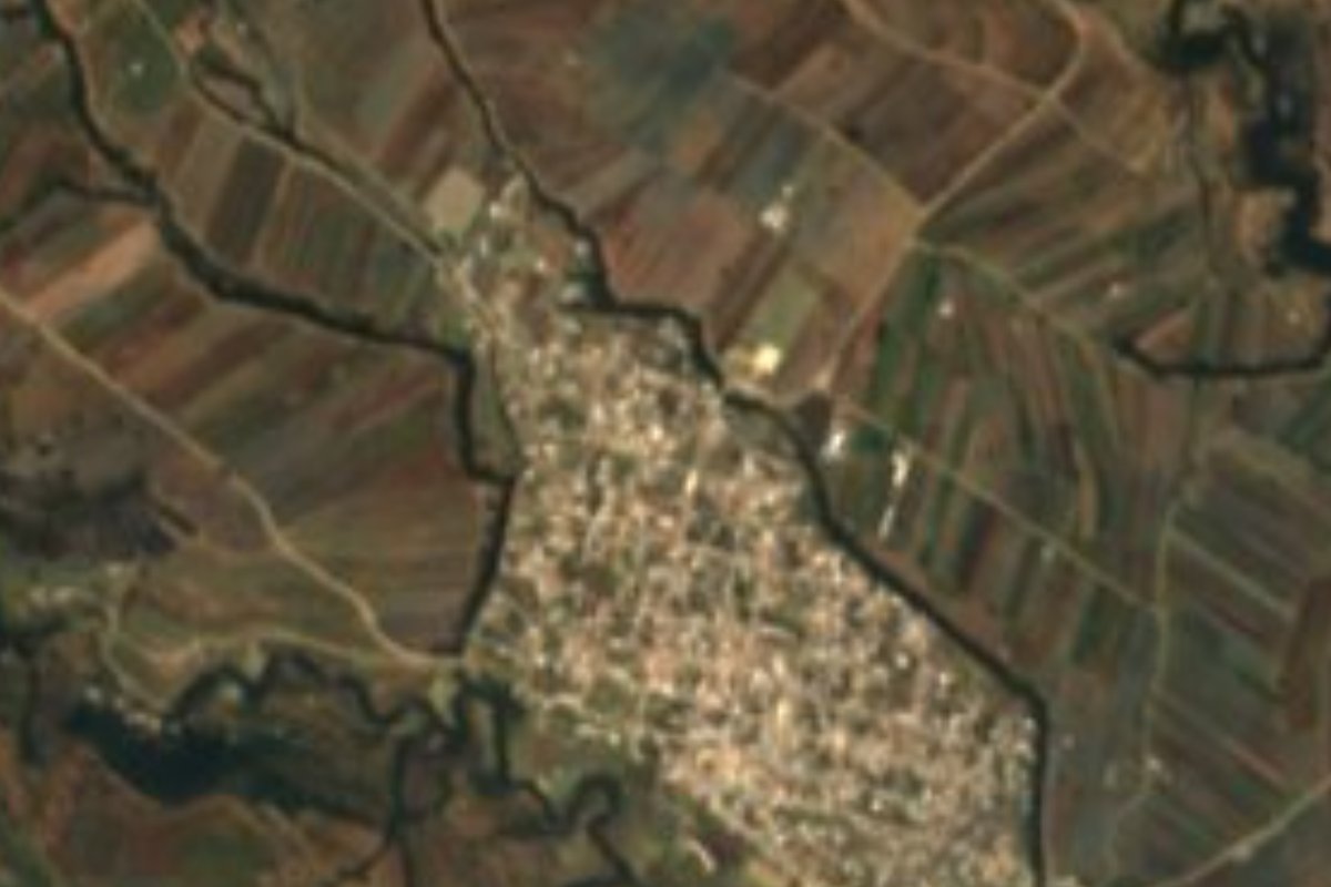
Village Tlahuapan, Puebla Municipality of Tlahuapan Volcano Route
"In the little bends": an auxiliary town of Tlahuapan at 2,460 m on the wooded slopes of the Sierra Nevada, land of trout and pulque.
From San Martín Texmelucan: 25 min by car (19 km by road) How to get there ↓
Near here
See everything nearby ↓



Plan your visit to Santiago Coltzingo
Where to stay near Santiago Coltzingo
Compare hotels, posadas and guest houses in Santiago Coltzingo.
Tours to Santiago Coltzingo
Day trips and guided outings from Huejotzingo often include Santiago Coltzingo; with a local guide you can get there without a car.
 Tours from Zacatlan
Zacatlán Guided Tour walking through the Center
★ 5.0 (2) · From US$8
How to get to Santiago Coltzingo
- From San Martín Texmelucan: about 25 min by road (~19 km)
- Nearest airport: Puebla (PBC), 7 min by car to Huejotzingo
Links open a partner site. We may earn a commission if you book, at no cost to you.
Tours from Zacatlan, near Santiago Coltzingo
Tours, prices and ratings from Viator, checked weekly. We may earn a commission if you book.
About Santiago Coltzingo
The name describes the ground: Coltzingo joins coltic, twisted or bent, the diminutive tzin and the locative co, translating as "in the little bends", fitting for a village set among the folds of the eastern slope of the Sierra Nevada. Its patron is Saint James the Greater. It lies at 2,460 metres, and the 2020 census counted 3,635 inhabitants. It is one of Tlahuapan's eight auxiliary towns, whose auxiliary presidents are chosen by plebiscite on the last Sunday of March, and it sits about 7.8 km southeast of Santa Rita Tlahuapan, the seat, 29 km from Huejotzingo and 52 km from Puebla in a straight line.
Tlahuapan is the corner of Puebla that touches both the State of Mexico and Tlaxcala, and its terrain climbs from 2,300 to 3,500 metres up the volcanic foothills. Four in ten hectares are still covered in forest and just over half are farmed. It is cool most of the year: averages run from 8 to 16 °C, with a temperate or semi-cold climate and 900 to 1,100 mm of summer rain. Flowing west to east through the municipality are Las Rositas, the Río Grande, the Chautonco and the Ayotla, streams that feed the upper Atoyac, a river born near here on the State of Mexico border.
The seat keeps the 16th-century church of Santa Rita, and neighbouring Santa María Texmelucan a church from the late 15th and early 16th centuries; in Guadalupe Zaragoza stand the ruins of the former Guadalupito las Dalias hacienda. Local craftspeople make crackle-glazed earthenware, costume jewellery, toys and Christmas ornaments. The cooking makes the most of the mountain climate: trout prepared several ways, broad-bean soup, bean tamales, tlanipa or hoja santa, chilacayote squash, tamaloyota and mole poblano, plus tejocote preserves, pepitoria, peaches and pears for something sweet. To drink there is pulque, fruit wines and cider. In the past women wore wrapped skirts, embroidered blouses and rebozos, and men white trousers, palm hats and huaraches.
How to get to Santiago Coltzingo
Drive from San Martín Texmelucan: 25 min, 19 km
The reference city is San Martín Texmelucan. From Mexico City's TAPO terminal, Estrella Roja and other lines reach Texmelucan in roughly an hour and a half to two hours, with frequent departures. From there head toward Santa Rita Tlahuapan; Coltzingo lies about 7.8 km southeast of the seat. We found no confirmed public route all the way to the village: ask about colectivos in Texmelucan or take a taxi.
Directions to Santiago Coltzingo on Google Maps
Distances are in a straight line; the road is usually longer.
Links open a partner site. We may earn a commission if you book, at no cost to you.
From the nearest cities to Santiago Coltzingo
- San Martín Texmelucan · 19 km by road, 25 min
- Chiautempan · 51 km by road, 50 min
- Puebla · 59 km by road, 1 h
Drive times by road from OpenStreetMap, without traffic or stops. Times marked ~ are estimated from the straight-line distance.
Visiting Santiago Coltzingo: what to see and do
The village of Santiago Coltzingo and its forested Sierra Nevada slopes.
The 16th-century church of Santa Rita in the seat and the church of Santa María Texmelucan.
The ruins of the former Guadalupito las Dalias hacienda in Guadalupe Zaragoza.
Local trout, broad-bean soup and cider or fruit wines.
Plan your trip
Places to stay in Santiago Coltzingo
Compare hotels, posadas, and rentals in and around Santiago Coltzingo.
Tours & activities
Day trips and guided outings from Huejotzingo often include Santiago Coltzingo; with a local guide you can get there without a car.
Rental cars
Pick up a car at PBC (Puebla): about 7 min by road to Huejotzingo, then 29 km more to Santiago Coltzingo, on your own schedule.
Flights
The nearest airport with scheduled flights is Puebla (PBC), about 7 min by road from Huejotzingo, the base for Santiago Coltzingo.
Mobile data
Signal can drop away from Huejotzingo: download a map of the way to Santiago Coltzingo before you set out, or carry an eSIM with data.
Links open a partner site. We may earn a commission if you book, at no cost to you.
When to go to Santiago Coltzingo mild
Santiago Coltzingo shares the climate of Huejotzingo, 29 km away. The best months to visit are January, February, March, and November.
See the month-by-month climate of Huejotzingo
Weather in Santiago Coltzingo now and the next 7 days
Live forecast from Open-Meteo. Chance of rain is the day's highest.
The closest Pueblo Mágico: Huejotzingo

Huejotzingo is the Pueblo Mágico closest to Santiago Coltzingo, with places to stay, food, and more to see.
Also close to
- Otumba · Estado de México · 42 km away
- Cholula · Puebla · 43 km away
- Teotihuacán · Estado de México · 47 km away
- Tlaxco · Tlaxcala · 50 km away
- Atlixco · Puebla · 54 km away
Closest to Santiago Coltzingo
-
Guadalupe Zaragoza · Village · 3 km away
-
San Cristóbal Nexquipayac · Village · 5 km away
-
San Antonio Atotonilco · Town · 7 km away
-
Santa Cruz Moxolahuac · Village · 7 km away
-
San Matías Tlalancaleca · Town · 8 km away
-
Santa Rita Tlahuapan · Town · 8 km away
-
Tlalancaleca (zona arqueológica) · Archaeological site · 8 km away
-
San Felipe Hidalgo · Village · 9 km away

Near Santiago Coltzingo




Drive times by road from OpenStreetMap, without traffic. Times marked ~ are estimated from the straight-line distance.
Location from OpenStreetMap. Written by Puebloteca.