Village Tlahuapan, Puebla Municipality of Tlahuapan Volcano Route
Ejido village at the northern tip of Tlahuapan, 2,776 m up and right against Nanacamilpa, Tlaxcala; it lives on crops, livestock and some trade.
From San Martín Texmelucan: 40 min by car (26 km by road) How to get there ↓
Near here
See everything nearby ↓



Plan your visit to Santa Cruz Moxolahuac
Where to stay near Santa Cruz Moxolahuac
Compare hotels, posadas and guest houses in Santa Cruz Moxolahuac.
Tours to Santa Cruz Moxolahuac
Day trips and guided outings from Huejotzingo often include Santa Cruz Moxolahuac; with a local guide you can get there without a car.
 Tours from Zacatlan
Zacatlán Guided Tour walking through the Center
★ 5.0 (2) · From US$8
How to get to Santa Cruz Moxolahuac
- From San Martín Texmelucan: about 40 min by road (~26 km)
- Nearest airport: Puebla (PBC), 7 min by car to Huejotzingo
Links open a partner site. We may earn a commission if you book, at no cost to you.
Tours from Zacatlan, near Santa Cruz Moxolahuac
Tours, prices and ratings from Viator, checked weekly. We may earn a commission if you book.
About Santa Cruz Moxolahuac
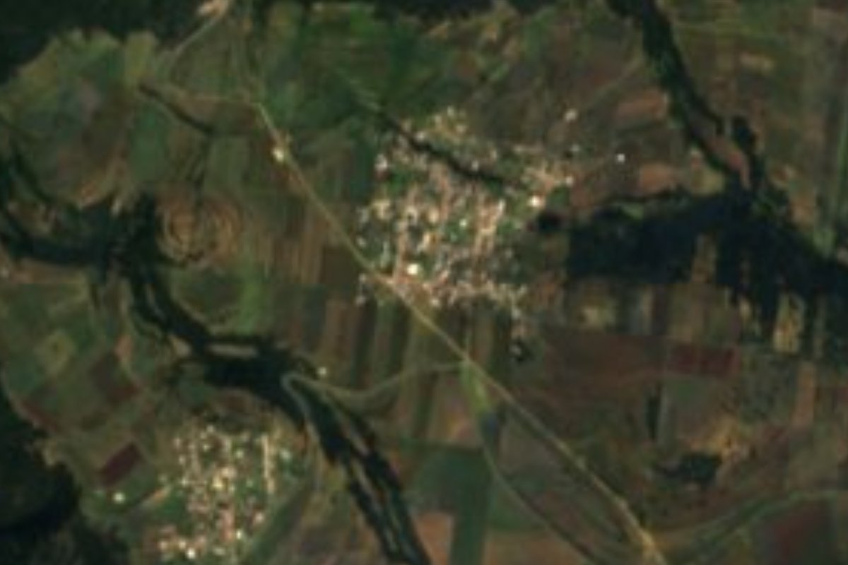
Few Puebla communities sit as high or as far north as Santa Cruz Moxolahuac: its houses cluster at 2,776 metres on the northern tip of Tlahuapan, and just across the line lies Nanacamilpa de Mariano Arista, in Tlaxcala. To the south its immediate neighbour is Guadalupito las Dalias, another locality of the same municipality. The census counted 887 people here in 2020 in about 228 homes, so this is a small settlement ringed by fields, ravines and patches of forest.
Life turns on the land. Farming is the main occupation, backed by livestock and grazing, while trade is slowly growing. The village has a preschool, a primary school and a telesecundaria, and its local office stands at the corner of Domingo Arenas and Avenida Emiliano Zapata. The municipal government classes it as an inspectoría: every three years a residents' assembly elects its auxiliary inspector. The ejido members, for their part, run their own committee of president, secretary and treasurer, and many households rely on federal support for farming, health and older people.
Tlahuapan covers the lower slopes of the Sierra Nevada between 2,300 and 3,500 metres and borders both the State of Mexico and Tlaxcala. About 41% of its area is still forest and just over half is farmed; average temperatures run from 8 to 16 °C, with 900 to 1,100 mm of rain a year. Its streams feed the upper Atoyac basin, among them Las Rositas, Río Grande and Chiautonco. The ruins of the old Guadalupito las Dalias hacienda are among the municipality's monuments. Local cooking leans on trout, broad-bean soup, bean tamales and preserved tejocote, washed down with pulque, cider and fruit wine.
How to get to Santa Cruz Moxolahuac
Drive from San Martín Texmelucan: 40 min, 26 km
Moxolahuac lies about 13 km north of Santa Rita Tlahuapan, the municipal seat, in a straight line, almost on the Tlaxcala border. Puebla city is about 58 km away and Huejotzingo 35 km, also as the crow flies. The practical route is the México–Puebla highway to Tlahuapan, then local roads north past Guadalupito las Dalias.
Directions to Santa Cruz Moxolahuac on Google Maps
Distances are in a straight line; the road is usually longer.
Links open a partner site. We may earn a commission if you book, at no cost to you.
From the nearest cities to Santa Cruz Moxolahuac
- San Martín Texmelucan · 26 km by road, 40 min
- Chiautempan · 64 km by road, 1 h
- Puebla · 84 km by road, 1 h 15 min
Drive times by road from OpenStreetMap, without traffic or stops. Times marked ~ are estimated from the straight-line distance.
Visiting Santa Cruz Moxolahuac: what to see and do
The village and its fields at almost 2,800 m.
The wooded ravines around it.
Guadalupito las Dalias, the neighbouring village to the south.
The ruins of the former Guadalupito las Dalias hacienda, a listed municipal monument.
Plan your trip
Places to stay in Santa Cruz Moxolahuac
Compare hotels, posadas, and rentals in and around Santa Cruz Moxolahuac.
Tours & activities
Day trips and guided outings from Huejotzingo often include Santa Cruz Moxolahuac; with a local guide you can get there without a car.
Rental cars
Pick up a car at PBC (Puebla): about 7 min by road to Huejotzingo, then 35 km more to Santa Cruz Moxolahuac, on your own schedule.
Flights
The nearest airport with scheduled flights is Puebla (PBC), about 7 min by road from Huejotzingo, the base for Santa Cruz Moxolahuac.
Mobile data
Signal can drop away from Huejotzingo: download a map of the way to Santa Cruz Moxolahuac before you set out, or carry an eSIM with data.
Links open a partner site. We may earn a commission if you book, at no cost to you.
When to go to Santa Cruz Moxolahuac mild
Santa Cruz Moxolahuac shares the climate of Huejotzingo, 35 km away. The best months to visit are January, February, March, and November.
See the month-by-month climate of Huejotzingo
Weather in Santa Cruz Moxolahuac now and the next 7 days
Live forecast from Open-Meteo. Chance of rain is the day's highest.
The closest Pueblo Mágico: Huejotzingo

Huejotzingo is the Pueblo Mágico closest to Santa Cruz Moxolahuac, with places to stay, food, and more to see.
Also close to
- Otumba · Estado de México · 36 km away
- Teotihuacán · Estado de México · 42 km away
- Tlaxco · Tlaxcala · 48 km away
- Cholula · Puebla · 50 km away
- Zempoala · Hidalgo · 54 km away
Closest to Santa Cruz Moxolahuac
-
San Felipe Hidalgo · Village · 3 km away
-
Nanacamilpa · Town · 4 km away
-
Santiago Coltzingo · Village · 7 km away
-
Sanctórum · Town · 9 km away
-
Guadalupe Zaragoza · Village · 10 km away
-
Domingo Arenas · Village · 11 km away
-
San Cristóbal Nexquipayac · Village · 11 km away
-
San Antonio Atotonilco · Town · 12 km away

Near Santa Cruz Moxolahuac


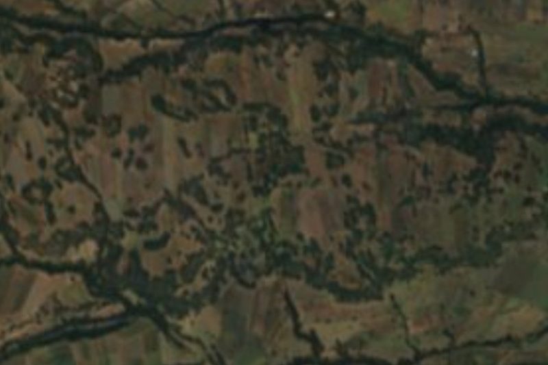

Drive times by road from OpenStreetMap, without traffic. Times marked ~ are estimated from the straight-line distance.
Location from OpenStreetMap. Written by Puebloteca.