

Village Tlahuapan, Puebla Municipality of Tlahuapan Volcano Route
A hamlet of 25 people in the Tlahuapan forests, at 2,481 metres on the slopes of the Sierra Nevada near the State of Mexico line.
From San Martín Texmelucan: 15 min by car (16 km by road) How to get there ↓
Near here
See everything nearby ↓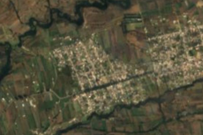


Plan your visit to San Cristóbal Nexquipayac
Where to stay near San Cristóbal Nexquipayac
Compare hotels, posadas and guest houses in San Cristóbal Nexquipayac.
Tours to San Cristóbal Nexquipayac
Day trips and guided outings from Huejotzingo often include San Cristóbal Nexquipayac; with a local guide you can get there without a car.
How to get to San Cristóbal Nexquipayac
- From San Martín Texmelucan: about 15 min by road (~16 km)
- Nearest airport: Puebla (PBC), 7 min by car to Huejotzingo
Links open a partner site. We may earn a commission if you book, at no cost to you.
About San Cristóbal Nexquipayac
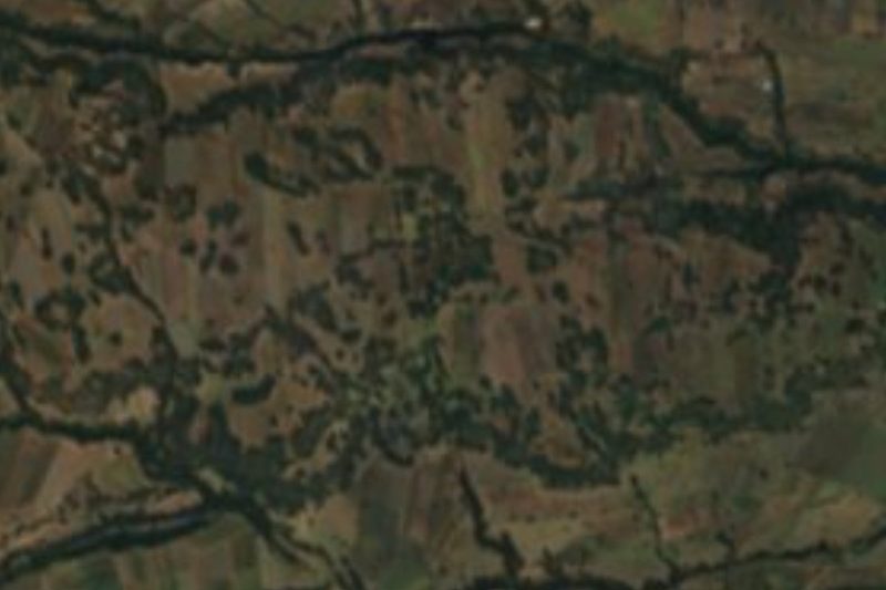
Only 25 people lived in San Cristóbal Nexquipayac in 2020, making it one of the smallest settlements in Tlahuapan. The hamlet sits at 2,481 metres in the west of the municipality, less than a kilometre from San José, in the corner of Puebla that touches both the State of Mexico and Tlaxcala on the slopes of the Sierra Nevada. Huejotzingo is 26 kilometres away and Puebla city about 50.
The whole municipality lies in the upper basin of the Atoyac, which rises near the Mexico-Puebla line on the eastern flank of the Sierra Nevada. Rivers such as Las Rositas, the Grande, the Chautonco and the Ayotla run west to east across Tlahuapan, along with many streams that flow only in the rainy season. Four in ten hectares of the municipality are forest, and average temperatures range from 8 to 16 degrees, with semi-cold zones on the higher ground.
There are no famous churches or tourist services here: the draw is the mountain landscape and the view of the volcanoes. For food or supplies you go to Santa Rita Tlahuapan, the municipal seat, or to the nearby juntas auxiliares; INEGI notes trout as a local speciality and clay pottery as the craft. In the community of Guadalupe Zaragoza stand the ruins of the former Guadalupito las Dalias hacienda.
How to get to San Cristóbal Nexquipayac
Drive from San Martín Texmelucan: 15 min, 16 km
From Puebla it is about 50 kilometres north-west, along the Mexico-Puebla highway to the Tlahuapan area and then west on rural roads; Huejotzingo is 26 kilometres away. It is thinly settled forest country, so a car is best.
Directions to San Cristóbal Nexquipayac on Google Maps
Distances are in a straight line; the road is usually longer.
Links open a partner site. We may earn a commission if you book, at no cost to you.
From the nearest cities to San Cristóbal Nexquipayac
- San Martín Texmelucan · 16 km by road, 15 min
- Chiautempan · 48 km by road, 40 min
- Puebla · 55 km by road, 50 min
Drive times by road from OpenStreetMap, without traffic or stops. Times marked ~ are estimated from the straight-line distance.
Visiting San Cristóbal Nexquipayac: what to see and do
The forests and hills of western Tlahuapan, views of Popocatépetl and Iztaccíhuatl, and the ruins of the former Guadalupito las Dalias hacienda in Guadalupe Zaragoza; trout around the municipal seat.
Plan your trip
Places to stay in San Cristóbal Nexquipayac
Compare hotels, posadas, and rentals in and around San Cristóbal Nexquipayac.
Tours & activities
Day trips and guided outings from Huejotzingo often include San Cristóbal Nexquipayac; with a local guide you can get there without a car.
Rental cars
Pick up a car at PBC (Puebla): about 7 min by road to Huejotzingo, then 26 km more to San Cristóbal Nexquipayac, on your own schedule.
Flights
The nearest airport with scheduled flights is Puebla (PBC), about 7 min by road from Huejotzingo, the base for San Cristóbal Nexquipayac.
Mobile data
Signal can drop away from Huejotzingo: download a map of the way to San Cristóbal Nexquipayac before you set out, or carry an eSIM with data.
Links open a partner site. We may earn a commission if you book, at no cost to you.
When to go to San Cristóbal Nexquipayac mild
San Cristóbal Nexquipayac shares the climate of Huejotzingo, 26 km away. The best months to visit are January, February, March, and November.
See the month-by-month climate of Huejotzingo
Weather in San Cristóbal Nexquipayac now and the next 7 days
Live forecast from Open-Meteo. Chance of rain is the day's highest.
The closest Pueblo Mágico: Huejotzingo

Huejotzingo is the Pueblo Mágico closest to San Cristóbal Nexquipayac, with places to stay, food, and more to see.
Also close to
- Cholula · Puebla · 41 km away
- Otumba · Estado de México · 44 km away
- Teotihuacán · Estado de México · 49 km away
- Atlixco · Puebla · 50 km away
- Tlaxco · Tlaxcala · 55 km away
Closest to San Cristóbal Nexquipayac
-
Guadalupe Zaragoza · Village · 2 km away
-
Santa Rita Tlahuapan · Town · 3 km away
-
Tlalancaleca (zona arqueológica) · Archaeological site · 4 km away
-
Santiago Coltzingo · Village · 5 km away
-
San Matías Tlalancaleca · Town · 6 km away
-
Santa María Texmelucan · Village · 6 km away
-
Hacienda de Chautla · Landmark · 9 km away
-
San Antonio Atotonilco · Town · 9 km away

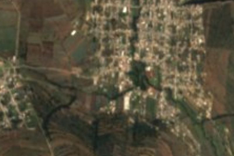
Near San Cristóbal Nexquipayac


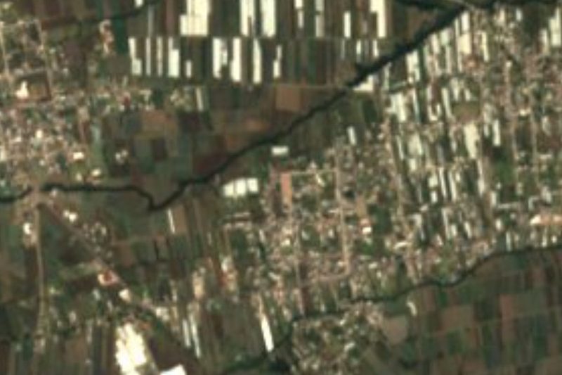


Drive times by road from OpenStreetMap, without traffic. Times marked ~ are estimated from the straight-line distance.
Location from OpenStreetMap. Written by Puebloteca.