

Village San Salvador el Verde, Puebla Municipality of San Salvador el Verde Volcano Route Monasteries on the slopes of Popocatépetl Puebla Valley
Farming town in western Puebla, the old Xopalican, "green place", in a municipality that climbs to the summit of Iztaccíhuatl.
From San Martín Texmelucan: 10 min by car (10 km by road) How to get there ↓
Near here
See everything nearby ↓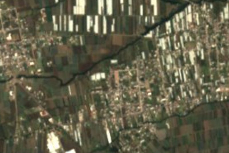


Plan your visit to San Salvador el Verde
Where to stay near San Salvador el Verde
Compare hotels, posadas and guest houses in San Salvador el Verde.
Tours to San Salvador el Verde
Day trips and guided outings from Huejotzingo often include San Salvador el Verde; with a local guide you can get there without a car.
 Tours from Atlixco
Atlixco Volcano Views Popocatépetl Tour Forest Route
From US$108
How to get to San Salvador el Verde
- From San Martín Texmelucan: about 10 min by road (~10 km)
- Nearest airport: Puebla (PBC), 7 min by car to Huejotzingo
Links open a partner site. We may earn a commission if you book, at no cost to you.
Tours from Atlixco, near San Salvador el Verde
Tours, prices and ratings from Viator, checked weekly. We may earn a commission if you book.
About San Salvador el Verde
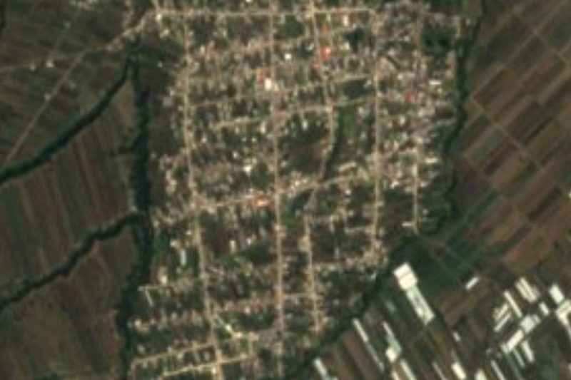
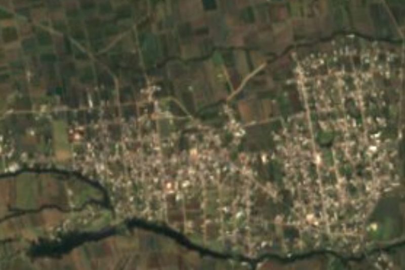
San Salvador el Verde is the seat of the municipality of the same name in west-central Puebla, about 40 km from the state capital and 85 km from Mexico City. The town stands at about 2,410 m and had 2,921 people in 2020. Its old name was Xopalican, from xopalli, green, and can, place: "green place".
Families from Huejotzingo founded it around 1520, at the old Xopalican. Because Huejotzingo allied with the Spaniards, its people took part in the fall of Tenochtitlan. Then came the encomienda system and cattle and farming haciendas; an epidemic drove many away, and on their return they settled on land donated by doña María Costitlán Xóchitl, after which the town was called San Salvador el Verde. It belonged to the old district of Huejotzingo. The shell of the former Chautla hacienda survives in the municipality.
The municipality, about 109 km², climbs from 2,300 m on the Puebla-Tlaxcala valley floor to over 5,200 m at the summit of Iztaccíhuatl at its western end, and borders the State of Mexico at Tlalmanalco. The climate is mild and sub-humid, with rain from May to October and a mean of 16 °C; in winter the high ground reaches 0 °C. Much of it is forest, and the farmland yields cabbage, onion, coriander, maize, beans, broad beans, wheat, mulato chillies, tejocote, pears, apples, walnuts and flowers such as gladioli, chrysanthemums, roses and marigolds.
How to get to San Salvador el Verde
Drive from San Martín Texmelucan: 10 min, 10 km
San Salvador el Verde lies about 40 km from Puebla city and about 85 km from Mexico City, in the west of the state between San Martín Texmelucan and Huejotzingo. The Pueblo Mágico of Huejotzingo is about 17 km away in a straight line. By car it takes roughly 50 minutes from Puebla.
Directions to San Salvador el Verde on Google Maps
Distances are in a straight line; the road is usually longer.
Links open a partner site. We may earn a commission if you book, at no cost to you.
From the nearest cities to San Salvador el Verde
- San Martín Texmelucan · 10 km by road, 10 min
- Chiautempan · 42 km by road, 35 min
- Puebla · 49 km by road, 45 min
Drive times by road from OpenStreetMap, without traffic or stops. Times marked ~ are estimated from the straight-line distance.
Visiting San Salvador el Verde: what to see and do
The flower fields around the town, such as marigolds.
The shell of the former Chautla hacienda.
The municipality's forests on the way up Iztaccíhuatl.
Pair it with Huejotzingo, about 17 km away.
Plan your trip
Places to stay in San Salvador el Verde
Compare hotels, posadas, and rentals in and around San Salvador el Verde.
Tours & activities
Day trips and guided outings from Huejotzingo often include San Salvador el Verde; with a local guide you can get there without a car.
Rental cars
Pick up a car at PBC (Puebla): about 7 min by road to Huejotzingo, then 17 km more to San Salvador el Verde, on your own schedule.
Flights
The nearest airport with scheduled flights is Puebla (PBC), about 7 min by road from Huejotzingo, the base for San Salvador el Verde.
Mobile data
Signal can drop away from Huejotzingo: download a map of the way to San Salvador el Verde before you set out, or carry an eSIM with data.
Links open a partner site. We may earn a commission if you book, at no cost to you.
When to go to San Salvador el Verde mild
San Salvador el Verde shares the climate of Huejotzingo, 17 km away. The best months to visit are January, February, March, and November.
See the month-by-month climate of Huejotzingo
Weather in San Salvador el Verde now and the next 7 days
Live forecast from Open-Meteo. Chance of rain is the day's highest.
The closest Pueblo Mágico: Huejotzingo

Huejotzingo is the Pueblo Mágico closest to San Salvador el Verde, with places to stay, food, and more to see.
Also close to
- Cholula · Puebla · 32 km away
- Atlixco · Puebla · 40 km away
- Otumba · Estado de México · 54 km away
- Tlaxco · Tlaxcala · 57 km away
- Teotihuacán · Estado de México · 58 km away
Closest to San Salvador el Verde
-
Analco de Ponciano Arriaga · Village · 1 km away
-
San Felipe Teotlalcingo · Village · 4 km away
-
Santa María Texmelucan · Village · 4 km away
-
San Buenaventura Tecaltzingo · Village · 6 km away
-
San Lucas el Grande · Village · 6 km away
-
San Rafael Tlanalapan · Town · 6 km away
-
Tlalancaleca (zona arqueológica) · Archaeological site · 6 km away
-
Hacienda de Chautla · Landmark · 7 km away

Near San Salvador el Verde


Drive times by road from OpenStreetMap, without traffic. Times marked ~ are estimated from the straight-line distance.
Location from OpenStreetMap. Written by Puebloteca.