

Town San Martín Texmelucan, Puebla Municipality of San Martín Texmelucan Volcano Route Monasteries on the slopes of Popocatépetl Puebla Valley
Town in San Martín Texmelucan, "land across the river", home in mid-August to the National Chile Poblano Fair.
From San Martín Texmelucan: 5 min by car (7 km by road) How to get there ↓
Near here


Plan your visit to San Rafael Tlanalapan
Where to stay near San Rafael Tlanalapan
Compare hotels, posadas and guest houses in San Rafael Tlanalapan.
Tours to San Rafael Tlanalapan
Day trips around Huejotzingo sometimes stop in San Rafael Tlanalapan; a tour is the easy way to see it without a car.
 Tours from Puebla City
Africam Safari Zoo Admission with Transportation
★ 4.8 (87) · From US$35
How to get to San Rafael Tlanalapan
- From San Martín Texmelucan: about 5 min by road (~7 km)
- Nearest airport: Puebla (PBC), 7 min by car to Huejotzingo
Links open a partner site. We may earn a commission if you book, at no cost to you.
Tours from Puebla City, near San Rafael Tlanalapan


Tours, prices and ratings from Viator, checked weekly. We may earn a commission if you book.
About San Rafael Tlanalapan
San Rafael Tlanalapan is a town in the municipality of San Martín Texmelucan in western Puebla. The name joins the Archangel Raphael, the town's patron, with the Nahuatl Tlanalapan, from tlalli, land, nal, other side, and apan, river: "land across the river". It stands at about 2,290 m and had 19,663 people in 2020, making it one of the largest places in the municipality.
Tlanalapan is known for the National Chile Poblano Fair, held in mid-August, right in the season for the chillies used in chiles en nogada. Inside its church of San Rafael, the high altar stands out.
The municipality of San Martín Texmelucan lies on the western side of the Puebla-Tlaxcala valley, on the foothills of the Sierra Nevada, next to Tlaxcala and near the State of Mexico. It is mostly flat, between 2,200 and 2,500 m, with hills to the west and north such as Totolqueme, Tepeyacac, Mendocinas and Ayecac, and is crossed by the Atoyac River, born of streams from the Sierra Nevada, the river in the town's name.
How to get to San Rafael Tlanalapan
Drive from San Martín Texmelucan: 5 min, 7 km
San Rafael Tlanalapan lies in the municipality of San Martín Texmelucan in western Puebla. Puebla city is about 39 km away in a straight line, roughly 45 to 55 minutes by car, and the Pueblo Mágico of Huejotzingo about 16 km.
Directions to San Rafael Tlanalapan on Google Maps
Distances are in a straight line; the road is usually longer.
Links open a partner site. We may earn a commission if you book, at no cost to you.
From the nearest cities to San Rafael Tlanalapan
- San Martín Texmelucan · 7 km by road, 5 min
- Chiautempan · 39 km by road, 30 min
- Puebla · 50 km by road, 45 min
Drive times by road from OpenStreetMap, without traffic or stops. Times marked ~ are estimated from the straight-line distance.
What to see in San Rafael Tlanalapan 3
Sights with their own page, closest to the centre first.
Landmarks and museums
-
Exconvento de Santa María Magdalena · Landmark · 3 km from the centre
Baroque Dieguino convent in central San Martín Texmelucan, a national monument since 1933, with Churrigueresque altarpieces and a 1794 German organ. -
Hacienda de Chautla · Landmark · 3 km from the centre
An old hacienda with an English-style castle on the edge of a lake, now a state-run park for walks, boating and picnics.
Archaeological sites
-
Los Cerritos de Tepatlaxco · Archaeological site · 3 km from the centre
Nine pyramid bases on the rims of ravines on the slopes of Cerro Totolqueme, inhabited from 300 BC to 600 AD, just outside Texmelucan.
Map of San Rafael Tlanalapan
Neighbourhoods and villages of San Rafael Tlanalapan
Part of San Rafael Tlanalapan or just outside it, closest first.
-
San Cristóbal Tepatlaxco · Village · 2 km from the centre
Texmelucan village on highway 190 below Cerro Totolqueme, which lends its name to the pre-Hispanic mounds of Tepatlaxco. -
San Lucas el Grande · Village · 2 km from the centre
The largest town in San Salvador el Verde, at 2,317 m below Iztaccíhuatl, among tejocote orchards, flower fields and black-stone workshops. -
San Juan Tuxco · Village · 4 km from the centre
Village of San Martín Texmelucan at the foot of the Sierra Nevada, "among the rabbits", with a parish church of San Juan and a chapel of the Sacrament.
Day trips and tours from San Rafael Tlanalapan
The closest Pueblos Mágicos and places to visit, with the drive from San Rafael Tlanalapan and tours that leave from it.


Times marked ~ are estimated from the distance. Links open a partner site. We may earn a commission if you book, at no cost to you.
Before you go: getting to and around San Rafael Tlanalapan
- The nearest airport is Puebla (PBC).
- The best months to go are January, February, March, and November.
- 1 of the places on this page is more than 3 km from the centre: take a taxi, a ride-hailing app or a local bus.
- For day trips a rental car gives the most freedom; the tours above leave from San Rafael Tlanalapan.
Before you go to San Rafael Tlanalapan: hours, prices and tips
- Best season
- The National Chile Poblano Fair is held in mid-August. Wikipedia · checked Oct 2026
Hours and prices change, especially around holidays. Each fact links to where we checked it.
Visiting San Rafael Tlanalapan: what to see and do
The National Chile Poblano Fair in mid-August.
The high altar of the church of San Rafael.
Pair it with San Martín Texmelucan and with Huejotzingo, about 16 km away.
Plan your trip
Places to stay in San Rafael Tlanalapan
Compare hotels, posadas, and rentals in and around San Rafael Tlanalapan.
Tours & activities
Day trips around Huejotzingo sometimes stop in San Rafael Tlanalapan; a tour is the easy way to see it without a car.
Rental cars
Pick up a car at PBC (Puebla): about 7 min by road to Huejotzingo, then 16 km more to San Rafael Tlanalapan, on your own schedule.
Flights
The nearest airport with scheduled flights is Puebla (PBC), about 7 min by road from Huejotzingo, the base for San Rafael Tlanalapan.
Mobile data
Signal can drop away from Huejotzingo: download a map of the way to San Rafael Tlanalapan before you set out, or carry an eSIM with data.
Links open a partner site. We may earn a commission if you book, at no cost to you.
When to go to San Rafael Tlanalapan mild
San Rafael Tlanalapan shares the climate of Huejotzingo, 16 km away. The best months to visit are January, February, March, and November.
See the month-by-month climate of Huejotzingo
Weather in San Rafael Tlanalapan now and the next 7 days
Live forecast from Open-Meteo. Chance of rain is the day's highest.
The closest Pueblo Mágico: Huejotzingo

Huejotzingo is the Pueblo Mágico closest to San Rafael Tlanalapan, with places to stay, food, and more to see.
Also close to
Near San Rafael Tlanalapan


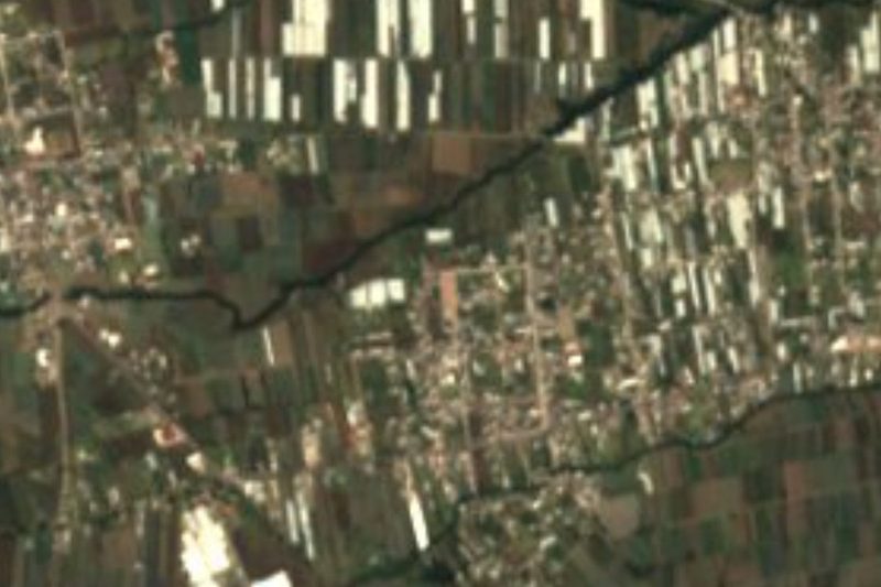


Drive times by road from OpenStreetMap, without traffic. Times marked ~ are estimated from the straight-line distance.
Location from OpenStreetMap. Written by Puebloteca.