

Village San Martín Texmelucan, Puebla Municipality of San Martín Texmelucan Volcano Route Monasteries on the slopes of Popocatépetl Puebla Valley
An auxiliary borough of San Martín Texmelucan, at 2,320 m in the irrigated Atoyac valley; its Nahuatl name means 'in the little stone house'.
From San Martín Texmelucan: 10 min by car (7 km by road) How to get there ↓
Near here
See everything nearby ↓



Plan your visit to San Buenaventura Tecaltzingo
Where to stay near San Buenaventura Tecaltzingo
Compare hotels, posadas and guest houses in San Buenaventura Tecaltzingo.
Tours to San Buenaventura Tecaltzingo
Day trips and guided outings from Huejotzingo often include San Buenaventura Tecaltzingo; with a local guide you can get there without a car.
 Tours from Puebla City
Africam Safari Zoo Admission with Transportation
★ 4.8 (87) · From US$35
How to get to San Buenaventura Tecaltzingo
- From San Martín Texmelucan: about 10 min by road (~7 km)
- Nearest airport: Puebla (PBC), 7 min by car to Huejotzingo
Links open a partner site. We may earn a commission if you book, at no cost to you.
Tours from Puebla City, near San Buenaventura Tecaltzingo


Tours, prices and ratings from Viator, checked weekly. We may earn a commission if you book.
About San Buenaventura Tecaltzingo
The Nahuatl name Tecaltzingo breaks down into tetl (stone), calli (house), tzintli (diminutive) and the locative co: 'in the little stone house'. The village stands at 2,320 metres and is one of the eleven auxiliary boroughs of San Martín Texmelucan, alongside San Rafael Tlanalapan, San Juan Tuxco and San Francisco Tepeyecac. Its patron is San Buenaventura, and the church tower is catalogued on Wikimedia Commons among the country's cultural heritage monuments.
Census figures tell a story of steady growth: 556 people in 1900, 1,369 in 1960, 2,330 in 1990 and 4,724 in 2020. It ranks among the most populous localities in the municipality. The borough is run by a president with four full members, chosen by popular vote on the last Sunday of March every three years.
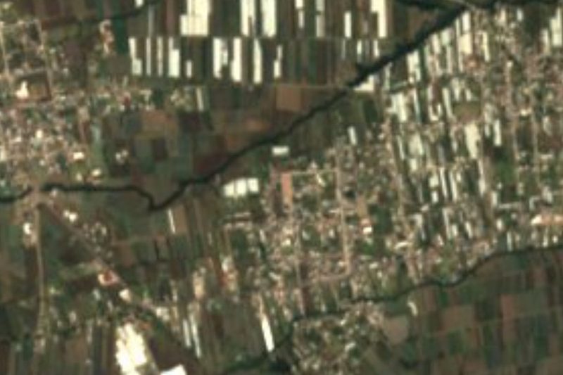
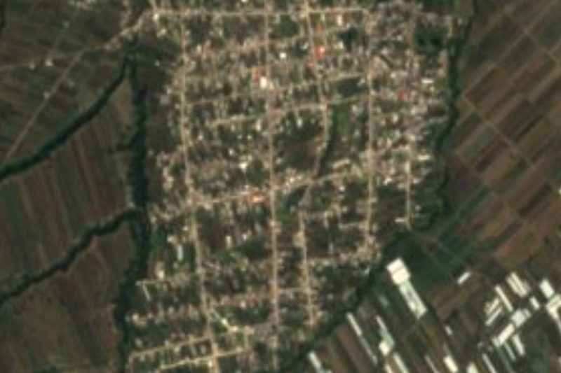
Tecaltzingo sits in the western part of the Puebla-Tlaxcala valley, at the foot of the Sierra Nevada. Around it lies the largest irrigated farmland in the Puebla valley, fed by the Atoyac river and its tributaries, growing maize, fruit and vegetables. The climate is temperate and sub-humid, averaging 14 to 16 °C with 800 to 1,000 mm of rain a year. The rains of May and June have been arriving late in recent years, which delays planting.
How to get to San Buenaventura Tecaltzingo
Drive from San Martín Texmelucan: 10 min, 7 km
Tecaltzingo is in San Martín Texmelucan municipality, on the corridor linking Puebla with Mexico City. In a straight line it is about 36 km to Puebla (approx. 40 minutes by car) and about 11 km to Huejotzingo (approx. 15 minutes). The usual route is to reach the city of San Martín Texmelucan first, the municipal seat and the area's transport hub, then take a taxi or local transport to the borough. Buses to Texmelucan run from Puebla's CAPU and from TAPO in Mexico City. No published timetable exists for direct combis to the village; in Texmelucan, ask which route heads out to Tecaltzingo.
Directions to San Buenaventura Tecaltzingo on Google Maps
Distances are in a straight line; the road is usually longer.
Links open a partner site. We may earn a commission if you book, at no cost to you.
From the nearest cities to San Buenaventura Tecaltzingo
- San Martín Texmelucan · 7 km by road, 10 min
- Chiautempan · 39 km by road, 35 min
- Puebla · 45 km by road, 45 min
Drive times by road from OpenStreetMap, without traffic or stops. Times marked ~ are estimated from the straight-line distance.
Visiting San Buenaventura Tecaltzingo: what to see and do
The tower of the church of San Buenaventura.
The irrigated fields around the village, with maize, fruit and vegetables.
The Sierra Nevada to the west, closing the valley.
The Atoyac river, the main watercourse of the area.
Plan your trip
Places to stay in San Buenaventura Tecaltzingo
Compare hotels, posadas, and rentals in and around San Buenaventura Tecaltzingo.
Tours & activities
Day trips and guided outings from Huejotzingo often include San Buenaventura Tecaltzingo; with a local guide you can get there without a car.
Rental cars
Pick up a car at PBC (Puebla): about 7 min by road to Huejotzingo, then 11 km more to San Buenaventura Tecaltzingo, on your own schedule.
Flights
The nearest airport with scheduled flights is Puebla (PBC), about 7 min by road from Huejotzingo, the base for San Buenaventura Tecaltzingo.
Mobile data
Signal can drop away from Huejotzingo: download a map of the way to San Buenaventura Tecaltzingo before you set out, or carry an eSIM with data.
Links open a partner site. We may earn a commission if you book, at no cost to you.
When to go to San Buenaventura Tecaltzingo mild
San Buenaventura Tecaltzingo shares the climate of Huejotzingo, 11 km away. The best months to visit are January, February, March, and November.
See the month-by-month climate of Huejotzingo
Weather in San Buenaventura Tecaltzingo now and the next 7 days
Live forecast from Open-Meteo. Chance of rain is the day's highest.
The closest Pueblo Mágico: Huejotzingo

Huejotzingo is the Pueblo Mágico closest to San Buenaventura Tecaltzingo, with places to stay, food, and more to see.
Also close to
Closest to San Buenaventura Tecaltzingo
-
San Juan Tuxco · Village · 2 km away
-
San Martín Texmelucan · City · 4 km away
-
Analco de Ponciano Arriaga · Village · 5 km away
-
Exconvento de Santa María Magdalena · Landmark · 5 km away
-
San Felipe Teotlalcingo · Village · 5 km away
-
San Lorenzo Chiautzingo · Village · 5 km away
-
San Rafael Tlanalapan · Town · 5 km away
-
San Cristóbal Tepatlaxco · Village · 6 km away


Near San Buenaventura Tecaltzingo


Drive times by road from OpenStreetMap, without traffic. Times marked ~ are estimated from the straight-line distance.
Location from OpenStreetMap. Written by Puebloteca.