

Village Chiautzingo, Puebla Volcano Route Monasteries on the slopes of Popocatépetl Puebla Valley
Seat of Chiautzingo, "in the little marsh", on the foothills of the Sierra Nevada near Huejotzingo, with carnival in its barrios.
From San Martín Texmelucan: 20 min by car (15 km by road) How to get there ↓
Near here
See everything nearby ↓

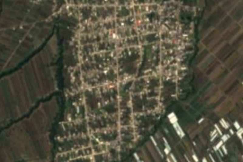


Plan your visit to San Lorenzo Chiautzingo
Where to stay near San Lorenzo Chiautzingo
Compare hotels, posadas and guest houses in San Lorenzo Chiautzingo.
Tours to San Lorenzo Chiautzingo
Day trips and guided outings from Huejotzingo often include San Lorenzo Chiautzingo; with a local guide you can get there without a car.
 Tours from Puebla City
Africam Safari Zoo Admission with Transportation
★ 4.8 (87) · From US$35
How to get to San Lorenzo Chiautzingo
- From San Martín Texmelucan: about 20 min by road (~15 km)
- Nearest airport: Puebla (PBC), 7 min by car to Huejotzingo
Links open a partner site. We may earn a commission if you book, at no cost to you.
Tours from Puebla City, near San Lorenzo Chiautzingo


Tours, prices and ratings from Viator, checked weekly. We may earn a commission if you book.
About San Lorenzo Chiautzingo
San Lorenzo Chiautzingo sits where the slopes of the Sierra Nevada begin to drop into the Puebla valley, at about 2,360 m and 8 km from Huejotzingo. The name translates as "in the little swamp" or "in the small marsh", and its patron is Saint Lawrence. With 9,197 people in 2020 it is the seat of a municipality of about 22,000.
It was probably founded by Teochichimec groups before the Conquest and depended on Huejotzinco, an independent city-state of the Puebla-Tlaxcala valley. It passed through an encomienda and then to the Crown; in 1837 it was a municipality of Huejotzingo and in 1921 it was recognised as a municipality in its own right. Its parish church of San Lorenzo dates from the 16th century. As in Huejotzingo, carnival happens in the barrios: the photo shows a carnival dancer at the patron festival of the barrio of San Esteban. People here embroider the capes and costumes for those dances, and also make baskets and bags.
The municipality covers about 89 km² and climbs from 2,300 m in the east to over 3,400 m on the slopes of Cerro de Ocotepec, with the Xeniqui ravine and the Llano de la Lobera. It is cold higher up, averaging 6 to 16 °C; a third of the land is forest. The Cotzalá River crosses it from west to east, along with streams such as the Seco, Iztapalapa and Tenango, all feeding the Atoyac. People drink pulque and aguamiel, and in the auxiliary town of San Agustín Atzompa there is a monument to Emiliano Zapata.
How to get to San Lorenzo Chiautzingo
Drive from San Martín Texmelucan: 20 min, 15 km
San Lorenzo Chiautzingo is about 8 km from Huejotzingo and some 33 km in a straight line from Puebla city. Take the México–Puebla highway, exiting at Huejotzingo or San Martín Texmelucan; local buses run from both towns.
Directions to San Lorenzo Chiautzingo on Google Maps
Distances are in a straight line; the road is usually longer.
Links open a partner site. We may earn a commission if you book, at no cost to you.
From the nearest cities to San Lorenzo Chiautzingo
- San Martín Texmelucan · 15 km by road, 20 min
- Puebla · 40 km by road, 45 min
- Chiautempan · 46 km by road, 45 min
Drive times by road from OpenStreetMap, without traffic or stops. Times marked ~ are estimated from the straight-line distance.
Visiting San Lorenzo Chiautzingo: what to see and do
Carnival in the village barrios.
The 16th-century church of San Lorenzo.
The forested slopes of the Sierra Nevada.
Huejotzingo, 8 km away.
Plan your trip
Places to stay in San Lorenzo Chiautzingo
Compare hotels, posadas, and rentals in and around San Lorenzo Chiautzingo.
Tours & activities
Day trips and guided outings from Huejotzingo often include San Lorenzo Chiautzingo; with a local guide you can get there without a car.
Rental cars
Pick up a car at PBC (Puebla): about 7 min by road to Huejotzingo, then 8 km more to San Lorenzo Chiautzingo, on your own schedule.
Flights
The nearest airport with scheduled flights is Puebla (PBC), about 7 min by road from Huejotzingo, the base for San Lorenzo Chiautzingo.
Mobile data
Signal can drop away from Huejotzingo: download a map of the way to San Lorenzo Chiautzingo before you set out, or carry an eSIM with data.
Links open a partner site. We may earn a commission if you book, at no cost to you.
When to go to San Lorenzo Chiautzingo mild
San Lorenzo Chiautzingo shares the climate of Huejotzingo, 8 km away. The best months to visit are January, February, March, and November.
See the month-by-month climate of Huejotzingo
Weather in San Lorenzo Chiautzingo now and the next 7 days
Live forecast from Open-Meteo. Chance of rain is the day's highest.
The closest Pueblo Mágico: Huejotzingo

Huejotzingo is the Pueblo Mágico closest to San Lorenzo Chiautzingo, with places to stay, food, and more to see.
Also close to
Closest to San Lorenzo Chiautzingo
-
San Luis Coyotzingo · Village · 3 km away
-
San Buenaventura Tecaltzingo · Village · 5 km away
-
San Felipe Teotlalcingo · Village · 5 km away
-
San Juan Tuxco · Village · 7 km away
-
Analco de Ponciano Arriaga · Village · 8 km away
-
San Martín Texmelucan · City · 8 km away
-
Santa María Atexcac · Village · 8 km away
-
Santa María Moyotzingo · Village · 8 km away


Near San Lorenzo Chiautzingo


Drive times by road from OpenStreetMap, without traffic. Times marked ~ are estimated from the straight-line distance.
Location from OpenStreetMap. Written by Puebloteca.