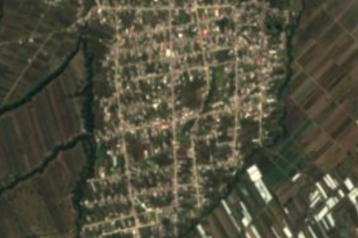
Village San Felipe Teotlalcingo, Puebla Volcano Route Monasteries on the slopes of Popocatépetl Puebla Valley
"Little valley of the gods" at the foot of the Sierra Nevada, beside the Izta-Popo park, with a 17th-century parish and brickworks.
From San Martín Texmelucan: 15 min by car (11 km by road) How to get there ↓
Near here
See everything nearby ↓


Plan your visit to San Felipe Teotlalcingo
Where to stay near San Felipe Teotlalcingo
Compare hotels, posadas and guest houses in San Felipe Teotlalcingo.
Tours to San Felipe Teotlalcingo
Day trips and guided outings from Huejotzingo often include San Felipe Teotlalcingo; with a local guide you can get there without a car.
How to get to San Felipe Teotlalcingo
- From San Martín Texmelucan: about 15 min by road (~11 km)
- Nearest airport: Puebla (PBC), 7 min by car to Huejotzingo
Links open a partner site. We may earn a commission if you book, at no cost to you.
About San Felipe Teotlalcingo
Teotlaltzinco, the Nahuatl form of the name, combines teotl (god), tlalli (land) and the diminutive tzintli, and is usually rendered as "little valley of the gods". The village sits on a slope at 2,401 metres on the western rim of the Puebla-Tlaxcala valley, and its municipality borders the Iztaccíhuatl-Popocatépetl National Park. The 2020 census counted 7,124 residents here, and the town heads a municipality that belongs to the San Martín Texmelucan metropolitan area, alongside San Salvador el Verde and Chiautzingo.
Its past is tied to the old lordship of Huejotzingo: Acolhua and Nahua groups settled it first, allied themselves with the Spaniards soon after Tlaxcallan fell, and in colonial times it was folded into the large Huejotzingo encomienda. During the French intervention many people from the area joined Ignacio Zaragoza's troops, and in the Revolution its surroundings saw clashes between Zapatistas and federal forces, the former led by General Marcelino Carabeo. The Puebla state congress made it a free municipality around 1927.
The landscape shifts with altitude: nearly a third of the municipality is still forest and most of the rest is farmland. INEGI records mean temperatures of only 6 to 16 degrees, with a semi-cold band toward the mountains, 900 to 1,000 millimetres of rain a year and year-round streams such as the Cotzala and Santa Elena flowing down toward the Atoyac basin. Local workshops turn out brick and roof tile; the table features mole poblano, pipián, tamales, fruit preserves, cider, chocolate atole and champurrado.
How to get to San Felipe Teotlalcingo
Drive from San Martín Texmelucan: 15 min, 11 km
Huejotzingo is about 13 km away by road and the city of Puebla about 38 km; the usual route runs through Huejotzingo or San Martín Texmelucan, hub of the metropolitan area the municipality belongs to, and from there climbs west toward the mountains.
Directions to San Felipe Teotlalcingo on Google Maps
Distances are in a straight line; the road is usually longer.
Links open a partner site. We may earn a commission if you book, at no cost to you.
From the nearest cities to San Felipe Teotlalcingo
- San Martín Texmelucan · 11 km by road, 15 min
- Chiautempan · 42 km by road, 40 min
- Puebla · 50 km by road, 50 min
Drive times by road from OpenStreetMap, without traffic or stops. Times marked ~ are estimated from the straight-line distance.
Visiting San Felipe Teotlalcingo: what to see and do
The parish church of San Felipe Apóstol, built in the 17th century in the centre of the village, is the monument INEGI lists for the municipality. To the west the forests begin that climb toward the Sierra Nevada and the Iztaccíhuatl-Popocatépetl National Park, and on the outskirts you can spot brick and tile kilns.
Plan your trip
Places to stay in San Felipe Teotlalcingo
Compare hotels, posadas, and rentals in and around San Felipe Teotlalcingo.
Tours & activities
Day trips and guided outings from Huejotzingo often include San Felipe Teotlalcingo; with a local guide you can get there without a car.
Rental cars
Pick up a car at PBC (Puebla): about 7 min by road to Huejotzingo, then 13 km more to San Felipe Teotlalcingo, on your own schedule.
Flights
The nearest airport with scheduled flights is Puebla (PBC), about 7 min by road from Huejotzingo, the base for San Felipe Teotlalcingo.
Mobile data
Signal can drop away from Huejotzingo: download a map of the way to San Felipe Teotlalcingo before you set out, or carry an eSIM with data.
Links open a partner site. We may earn a commission if you book, at no cost to you.
When to go to San Felipe Teotlalcingo mild
San Felipe Teotlalcingo shares the climate of Huejotzingo, 13 km away. The best months to visit are January, February, March, and November.
See the month-by-month climate of Huejotzingo
Weather in San Felipe Teotlalcingo now and the next 7 days
Live forecast from Open-Meteo. Chance of rain is the day's highest.
The closest Pueblo Mágico: Huejotzingo

Huejotzingo is the Pueblo Mágico closest to San Felipe Teotlalcingo, with places to stay, food, and more to see.
Also close to
- Cholula · Puebla · 28 km away
- Atlixco · Puebla · 36 km away
- Tlaxco · Tlaxcala · 58 km away
- Otumba · Estado de México · 58 km away
- Tlayacapan · Morelos · 59 km away
Closest to San Felipe Teotlalcingo
-
Analco de Ponciano Arriaga · Village · 4 km away
-
San Salvador el Verde · Village · 4 km away
-
San Buenaventura Tecaltzingo · Village · 5 km away
-
San Lorenzo Chiautzingo · Village · 5 km away
-
San Juan Tuxco · Village · 6 km away
-
San Luis Coyotzingo · Village · 7 km away
-
San Martín Texmelucan · City · 8 km away
-
San Rafael Tlanalapan · Town · 8 km away


Near San Felipe Teotlalcingo



Drive times by road from OpenStreetMap, without traffic. Times marked ~ are estimated from the straight-line distance.
Location from OpenStreetMap. Written by Puebloteca.